The best walks and hikes in Gjørdøldalen
4.4
(40)
236
hikers
13
hikes
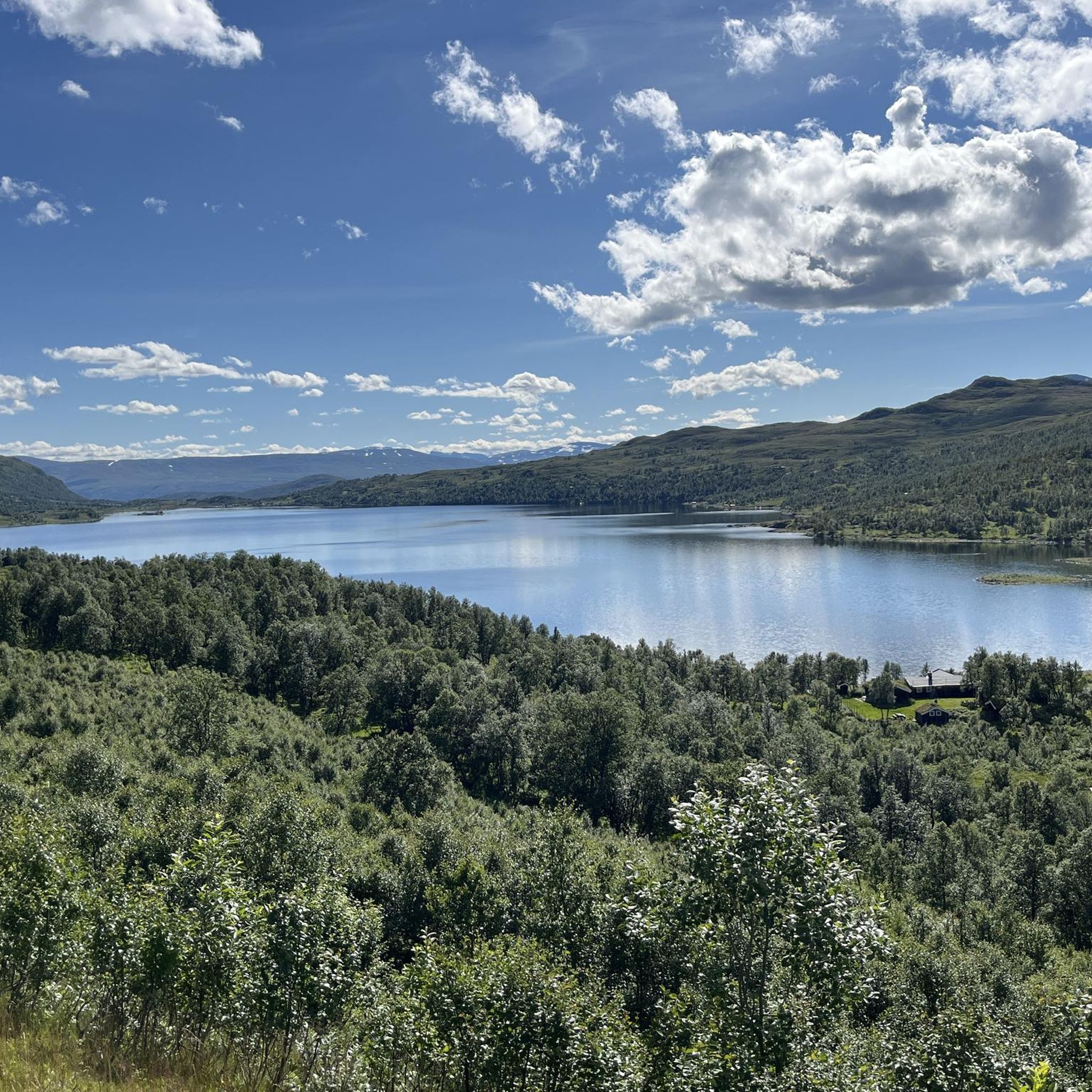
Hiking in Gjørdøldalen Norway offers diverse terrain within the Trollheimen Mountains. This region features a transition zone between marine and alpine environments, providing varied landscapes for outdoor activities. Hikers can explore ancient woodlands, lush river valleys, pristine mountain lakes, and rugged peaks. The area includes significant features like Gjevillvatnet Lake and the Gravbekke River.
Best hiking trails in Gjørdøldalen
- The most popular hiking route is DNT Gjevilvasshytta – Gravbekken Bridge loop from Løkkjsætra hytteområde, a 12.1 miles (19.5 km)…
Last updated: July 12, 2026
5
hikers
22.3km
08:17
940m
950m
Hard hike. Very good fitness required. Mostly accessible paths. Sure-footedness required.
4.7
(10)
76
hikers
19.5km
07:08
610m
620m
Hard hike. Very good fitness required. Mostly accessible paths. Sure-footedness required.

Sign up for free
4.4
(9)
18
hikers
5.27km
01:28
90m
90m
Easy hike. Great for any fitness level. Easily-accessible paths. Suitable for all skill levels.
4.6
(5)
12
hikers
4.20km
01:11
80m
90m
Easy hike. Great for any fitness level. Easily-accessible paths. Suitable for all skill levels.
1
hikers
Easy hike. Great for any fitness level. Easily-accessible paths. Suitable for all skill levels.
Get access to more routes and recommendations from other explorers.
Sign up for free
Already have an account?
Our route recommendations are based on thousands of hikes, rides, and runs completed by other people on komoot.
Start today with a free account
Your next adventure awaits.
Login or Signup


Tips from the Community

A break with coffee and waffles at Gjevilvasshytta. Recommended.
0
0

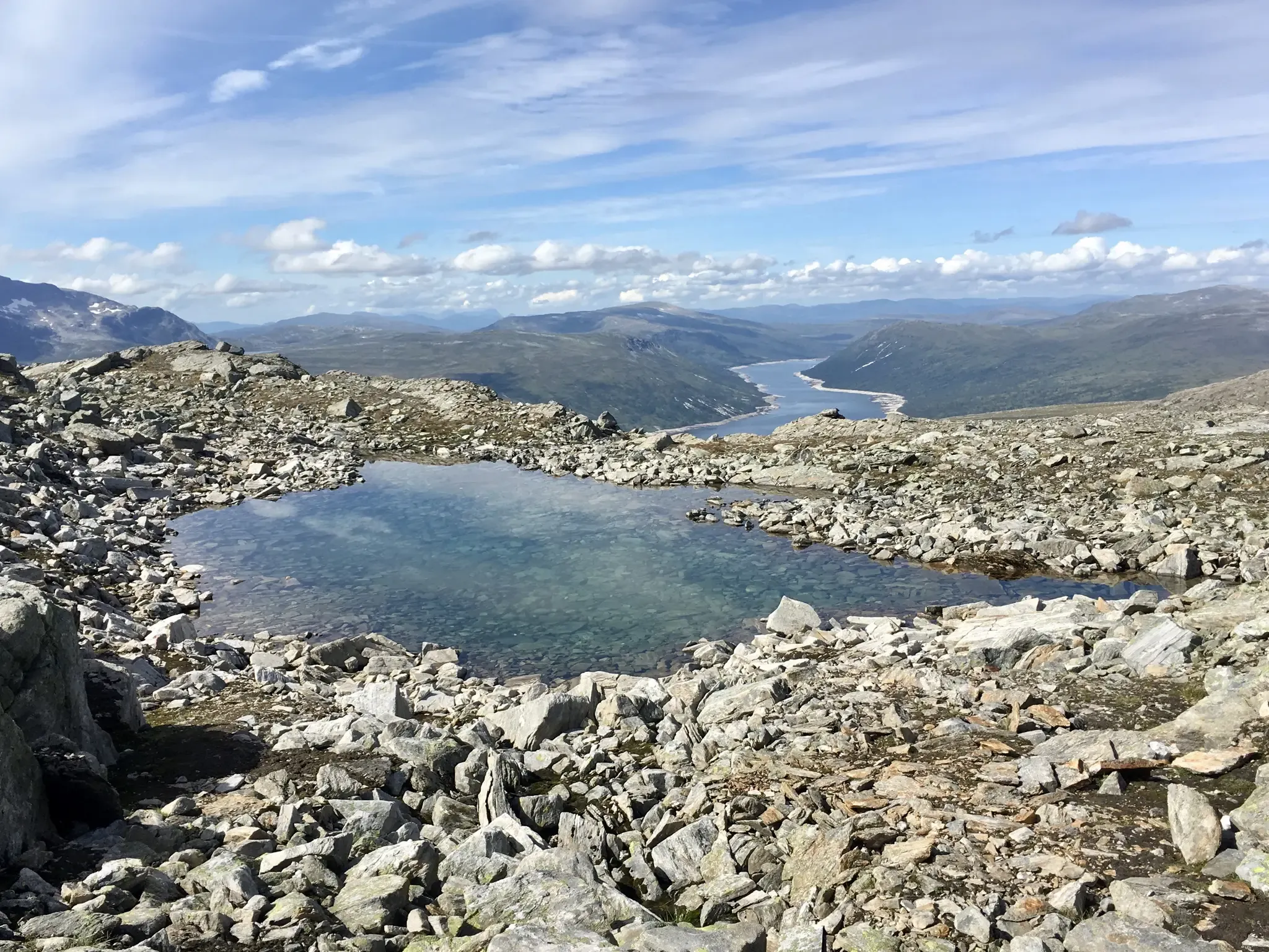
This is a beautiful lake nestled beneath the slopes of Blåhøa, the highest peak in the northeast of the Trollheimen range. There's a small cabin here, Kamtjønnkoia, which was built in the 1950s to support botanists studying the region's mountain flora. There's around 500 metres (1,600 ft) of ascent from here up to Blåhøa's summit, which stands proud at 1,671 metres (5,482 ft). The hike is relatively straightforward in good weather.
1
0
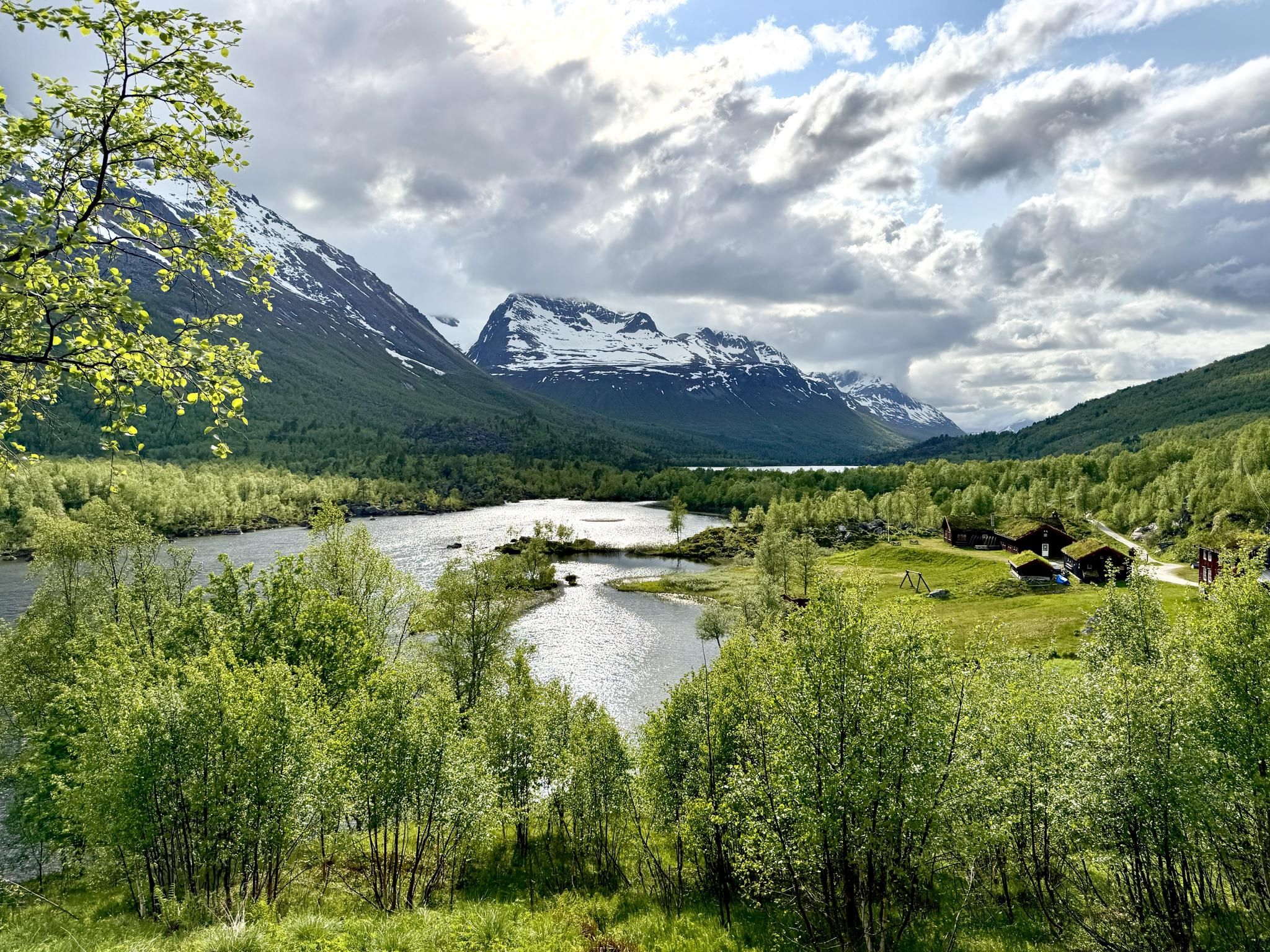
This new bridge takes hikers across Gravbekken on the way to and from Gjevilvasshytta, the oldest DNT hut. From here, the SignaTUR Trollheimen follows the stream all the way to Gjevillvatnet.
1
0

Gjevilvasshytta’s got that old-school charm – basic rooms, big views, and loads of character.
0
0
A well-built bridge that allows you to cross the river without getting wet.
0
0

Above the sandy beach (highly recommended) the tour begins or ends between Gjevilvasshytta and Trollheimshytta
0
0
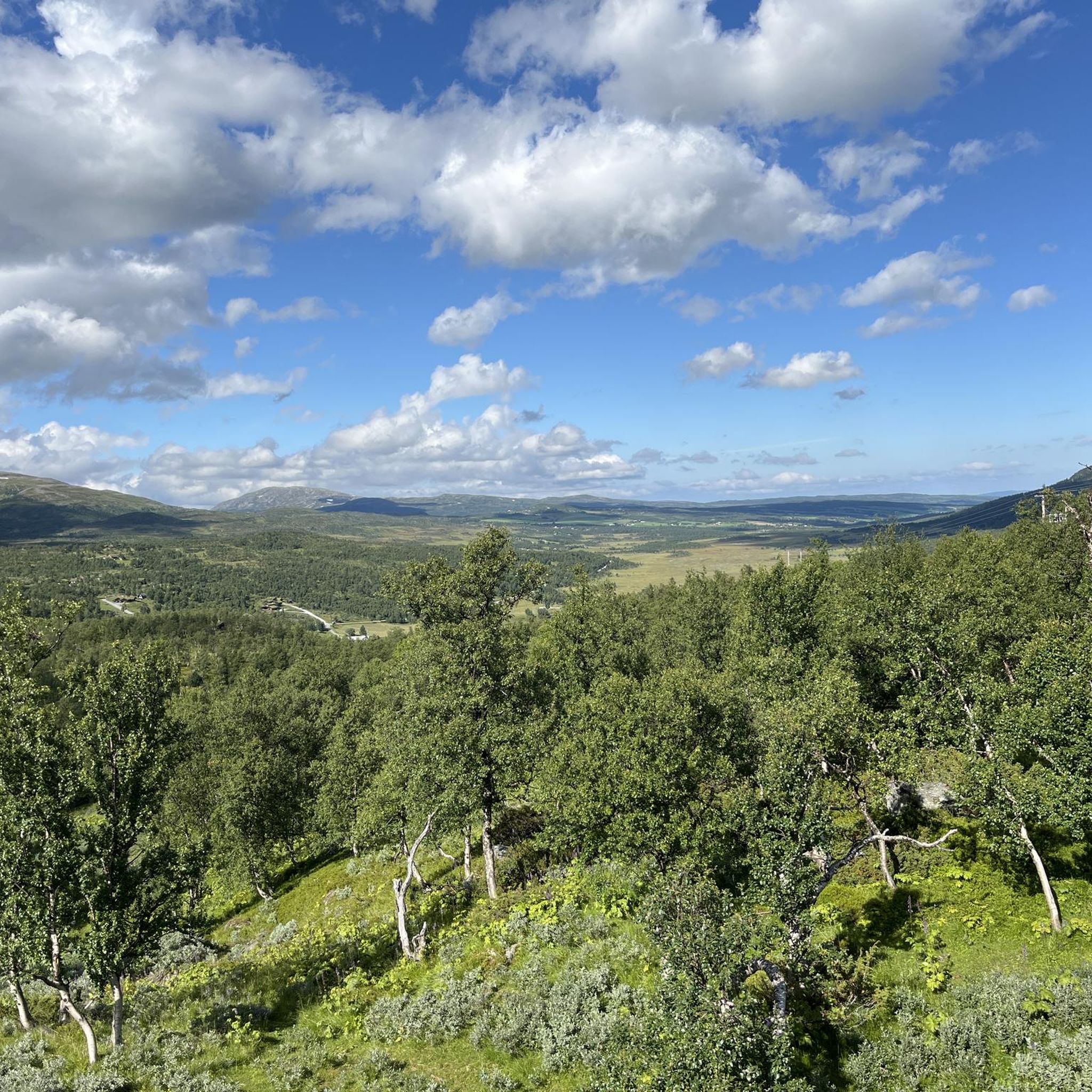
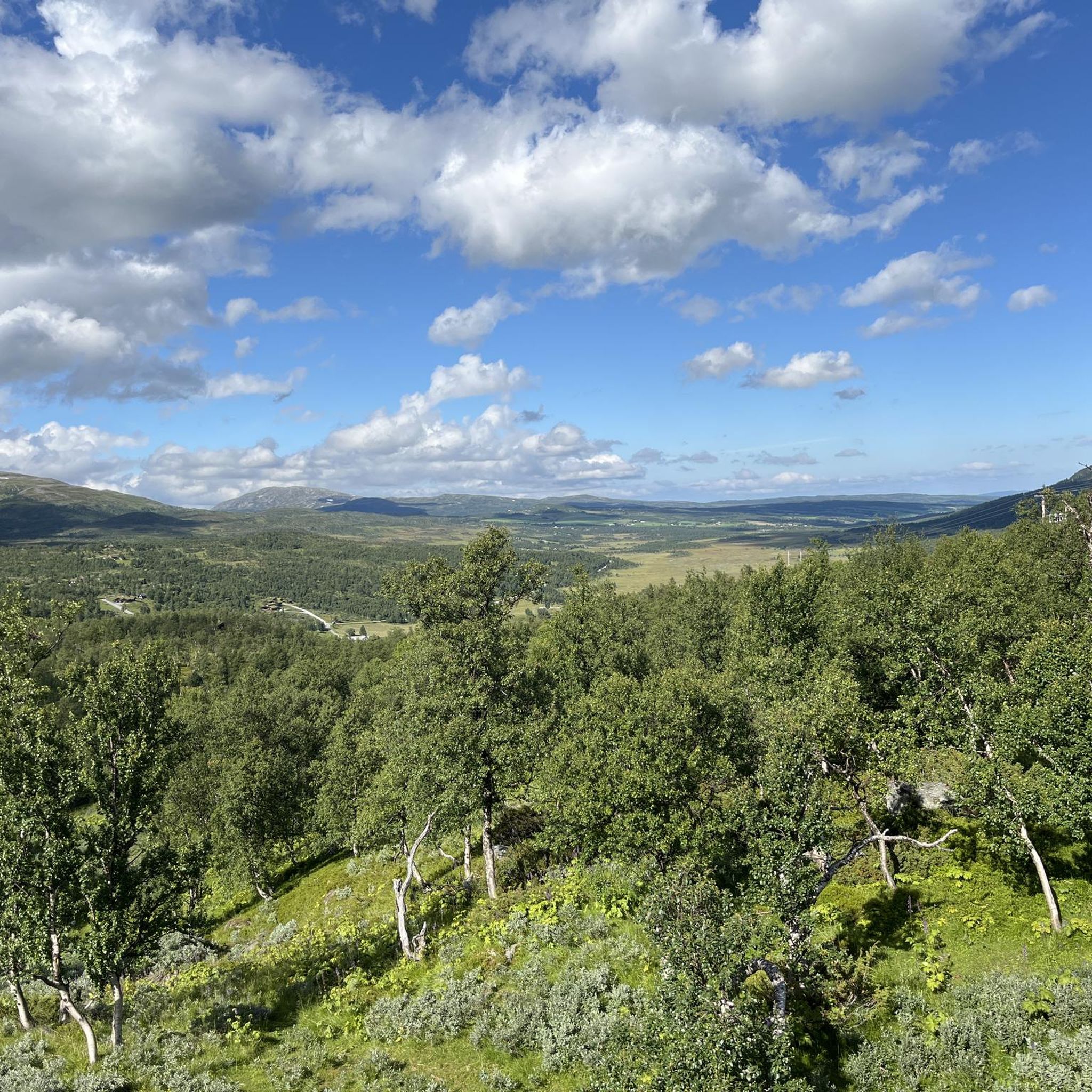
As soon as you reach the treeline, the view opens up over the plain, with the sunken stream winding through it and the surrounding mountain panorama—dominated by Blåhøa, standing at 1,610 metres (5,282 ft).
1
0
The short detour to Blåhøa offers a fantastic view. Down to Gjevilvassdalen and Blåhøtjønna, both with beautiful sandy beaches, and to the surrounding mountains. An endless panorama. An information board at the watchtower testifies to the love of country.
0
0
Frequently Asked Questions
How many hiking trails are available in Gjørdøldalen?
Gjørdøldalen offers a good selection of hiking routes, with over 10 trails documented on komoot. These routes cater to various skill levels, from easy strolls to challenging mountain ascents.
What kind of terrain can I expect when hiking in Gjørdøldalen?
The terrain in Gjørdøldalen, part of the Trollheimen Mountains, is incredibly varied. You'll find ancient woodlands, lush river valleys, pristine mountain lakes like Gjevillvatnet, and rugged, rocky peaks. It's a transition zone between marine and alpine environments, offering diverse landscapes.
Are there easy hiking options suitable for beginners or families in Gjørdøldalen?
Yes, Gjørdøldalen has several easy hiking options. For instance, the DNT Gjevilvasshytta – Path along the Gravbekken loop from Rolvsjordsætra is a 2.9-mile (4.7 km) trail that follows the Gravbekken river valley, perfect for a relaxed outing. There are 5 easy routes in total.
Are there any challenging hikes for experienced trekkers in Gjørdøldalen?
Absolutely. For experienced hikers seeking a challenge, routes like the Høgsnydda loop from Langoddsætra offer significant elevation gain over 11.3 miles (18.1 km) through rugged mountain landscapes. The region also provides opportunities to ascend peaks such as Skallen Peak, known for its long and steep climb.
Are there any circular hiking routes in Gjørdøldalen?
Yes, many of the trails in Gjørdøldalen are designed as loops, allowing you to start and end at the same point. An example is the DNT Gjevilvasshytta – DNT Gjevilvasshytta loop from Røstbekken, an easy 3.3-mile (5.3 km) route.
What are some natural features or landmarks to look out for on the trails?
Hikers in Gjørdøldalen can enjoy stunning natural features. The expansive Gjevillvatnet Lake and the picturesque Gravbekke River are central to many routes. The broader Trollheimen area also features rugged mountain peaks and ancient woodlands, all contributing to the region's 'home of the trolls' mythical charm.
What do other hikers say about their experience in Gjørdøldalen?
The komoot community highly rates hiking in Gjørdøldalen, with an average score of 4.4 stars from over 30 reviews. Hikers often praise the varied terrain, from quiet woodlands to challenging mountain paths, and the well-marked trails that connect historic mountain huts in the wider Trollheimen area.
Is Gjørdøldalen suitable for dog-friendly hikes?
While specific dog-friendly regulations can vary, the natural and varied terrain of Gjørdøldalen generally offers good opportunities for hiking with dogs. It's always recommended to keep dogs on a leash, especially in areas with livestock or wildlife, and to check local guidelines for specific trails or protected areas.
What is the best time of year to go hiking in Gjørdøldalen?
The best time for hiking in Gjørdøldalen is typically during the summer months (June to September) when the weather is milder, and trails are free of snow. This period allows access to the full range of terrain, from valley floors to higher mountain ascents. Autumn also offers beautiful foliage.
Are there any facilities or mountain huts available along the trails?
While Gjørdøldalen itself is a valley, the surrounding Trollheimen area is known for its well-established trails and historic mountain huts. The famous Trollheimen Triangle connects huts like Gjevilvasshytta, Jøldalshytta, and Trollheimshytta, providing accommodation and facilities for multi-day trekkers. Some day hikes may pass near these facilities.
Is public transport available to access hiking trails in Gjørdøldalen?
Public transport options directly into Gjørdøldalen for trail access can be limited. It is generally recommended to travel by car to reach trailheads, especially for more remote starting points. Some local bus services might connect to nearby towns, but direct access to specific hiking areas often requires private transport.
Where can I find parking for hiking trails in Gjørdøldalen?
Parking is typically available at or near the main trailheads and popular starting points for hikes in Gjørdøldalen. For example, routes often start from areas like Løkkjsætra hytteområde, Rolvsjordsætra, or Langoddsætra, where designated parking areas are usually provided for hikers. Always check for any local parking fees or regulations.

Get inspired with the komoot mobile app


Explore more
Browse the best Hikes in other regions.
