The best walks and hikes in Mjölkvikskogen
4.4
(21)
67
hikers
8
hikes
Hiking in Mjölkvikskogen, located in Östergötland, Sweden, offers a network of trails through a beautiful forest landscape. The region is characterized by woodlands, lakes, and gentle elevation changes, providing varied terrain for outdoor activities. Hikers can expect paths that wind through natural settings, with some routes featuring moderate climbs.
Best hiking trails in Mjölkvikskogen
- The most popular hiking route is Traditional Wooden Fence – Tree Stump with Trail Marker loop from Kisa, a 5.7 miles (9.2 km) trail that…
Last updated: July 12, 2026
6
hikers
6.98km
01:56
130m
130m
Easy hike. Great for any fitness level. Easily-accessible paths. Suitable for all skill levels.
5.0
(1)
4
hikers
5.59km
01:30
70m
70m
Easy hike. Great for any fitness level. Easily-accessible paths. Suitable for all skill levels.

Sign up for free
2
hikers
7.63km
02:02
80m
80m
Moderate hike. Good fitness required. Easily-accessible paths. Suitable for all skill levels.
5.0
(1)
4
hikers
6.57km
01:49
120m
120m
Easy hike. Great for any fitness level. Easily-accessible paths. Suitable for all skill levels.
4.0
(1)
4
hikers
Moderate hike. Good fitness required. Easily-accessible paths. Suitable for all skill levels.
Get access to more routes and recommendations from other explorers.
Sign up for free
Already have an account?
Our route recommendations are based on thousands of hikes, rides, and runs completed by other people on komoot.
Start today with a free account
Your next adventure awaits.
Login or Signup
Popular around Mjölkvikskogen
Tips from the Community

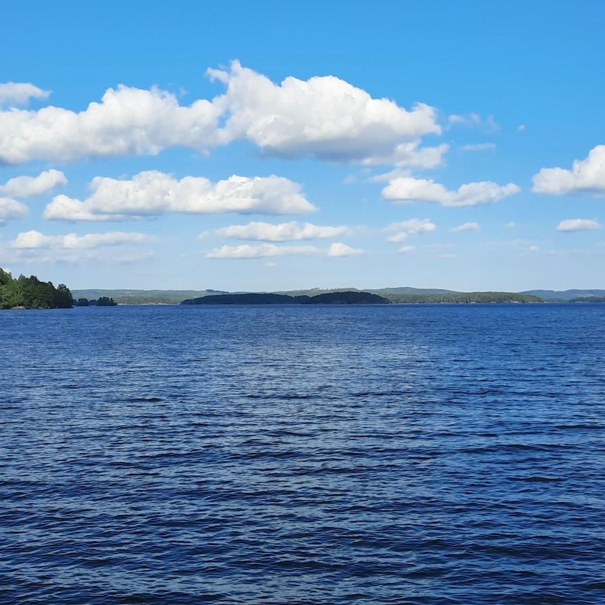
Hisneklint is a beautiful viewpoint across the Kinda Canal towards Åsunden and across Västra Eneby. The viewpoint can be hiked from Mjölkviketorpet and is not far from the Hovby skans Fornborg ancient fort.
0
0

Moderately difficult tour. Poorly signposted but good paths.
0
0

Beautiful view of Lake Åsunden
0
0
Frequently Asked Questions
How many hiking trails are available in Mjölkvikskogen?
Mjölkvikskogen offers a network of 8 hiking trails, providing a variety of options for exploring the region's woodlands and lakes.
What kind of terrain can I expect on the trails in Mjölkvikskogen?
The terrain in Mjölkvikskogen is characterized by woodlands, tranquil lakes, and gentle hills. While most routes are easy, some feature moderate climbs, offering varied experiences from leisurely strolls to more active hikes.
Are there easy trails suitable for beginners or families?
Yes, Mjölkvikskogen has 6 easy trails, perfect for beginners or families looking for a relaxed outdoor experience. These paths wind through natural settings with gentle elevation changes.
Are there any longer or more challenging routes for experienced hikers?
For those seeking a bit more challenge, Mjölkvikskogen features 2 moderate routes. One such option is the Försjön loop from Åsunden, which is 4.7 miles (7.6 km) long and offers views of Försjön lake.
What makes Mjölkvikskogen a unique hiking destination?
Mjölkvikskogen, situated within the broader High Coast region, is part of a UNESCO World Heritage Site known for its dramatic landscapes shaped by post-glacial rebound. Hikers can experience a unique blend of ancient forests, coastal scenery, and geological wonders, even if Mjölkvikskogen itself is more focused on woodlands and lakes.
Are there any trails that offer scenic viewpoints?
Yes, the Beautiful View loop from Brostorp is a 4.3 miles (7.0 km) trail specifically noted for offering scenic viewpoints as it leads through the forest.
What do other hikers say about the trails in Mjölkvikskogen?
The trails in Mjölkvikskogen are highly rated by the komoot community, with an average score of 4.4 stars from over 20 reviews. Hikers often praise the quiet woodlands and well-maintained paths.
Is parking available near the trailheads?
While specific parking details for each trailhead are not provided, it is generally common for popular hiking areas in Sweden to have designated parking facilities. We recommend checking individual route descriptions on komoot for precise parking information for your chosen trail.
What is the best time of year to go hiking in Mjölkvikskogen?
The best time to hike in Mjölkvikskogen is typically during the spring, summer, and autumn months when the weather is mild and the natural scenery is at its most vibrant. The region's woodlands and lakes are particularly beautiful during these seasons.
Are there any circular routes available?
Yes, all the listed routes in Mjölkvikskogen are circular, allowing you to start and end your hike at the same point. For example, the Traditional Wooden Fence – Tree Stump with Trail Marker loop from Kisa is a popular circular option.
Can I bring my dog on the hiking trails?
While specific regulations for Mjölkvikskogen are not detailed, dogs are generally welcome on hiking trails in Sweden, often required to be kept on a leash, especially during certain seasons to protect wildlife. Always check local signage for any specific restrictions.
Are there any trails suitable for a quick walk?
Yes, many of the easy trails are suitable for a quick walk. For instance, the Borgarberget loop from Brostorp is an easy 3.5 miles (5.6 km) route that can be completed in under 1.5 hours.

Get inspired with the komoot mobile app


Explore more
Browse the best Hikes in other regions.
