The best MTB trails in Krüdener Forst
5.0
(3)
8
riders
3
rides
Mountain bike trails in Krüdener Forst offer diverse terrain for riders of varying skill levels. This region, characterized by dense forests and gentle elevations, provides a natural setting for outdoor activities. The landscape features a mix of wooded paths and open areas, with routes often following river courses. The topography is generally flat, with minimal elevation gain, making it suitable for accessible mountain biking.
Best mountain bike trails in Krüdener Forst
- The most popular mountain bike trail is Oak Tree…
Last updated: June 28, 2026
1
riders
38.5km
02:50
150m
150m
Moderate mountain bike ride. Good fitness required. Advanced riding skills necessary.
5.0
(3)
3
riders
Moderate mountain bike ride. Great for any fitness level. Advanced riding skills necessary.

Sign up for free
1
riders
Easy mountain bike ride. Great for any fitness level. Suitable for all skill levels.
3
riders
19.2km
01:00
30m
30m
Easy mountain bike ride. Great for any fitness level. Suitable for all skill levels.
Our route recommendations are based on thousands of hikes, rides, and runs completed by other people on komoot.
Start today with a free account
Your next adventure awaits.
Login or Signup
Tips from the Community

The bridge can be used by cyclists and pedestrians. It is open, as of 2026. From here, of course, you have a good view of the Elbe meadows and the city.
0
0

The inner-German border ran here. Today, the original border post #290 still stands on the border line Saxony-Anhalt and Lower Saxony now meet here
1
0

Challenging running route with a considerable incline and plenty of sandy terrain.
0
0

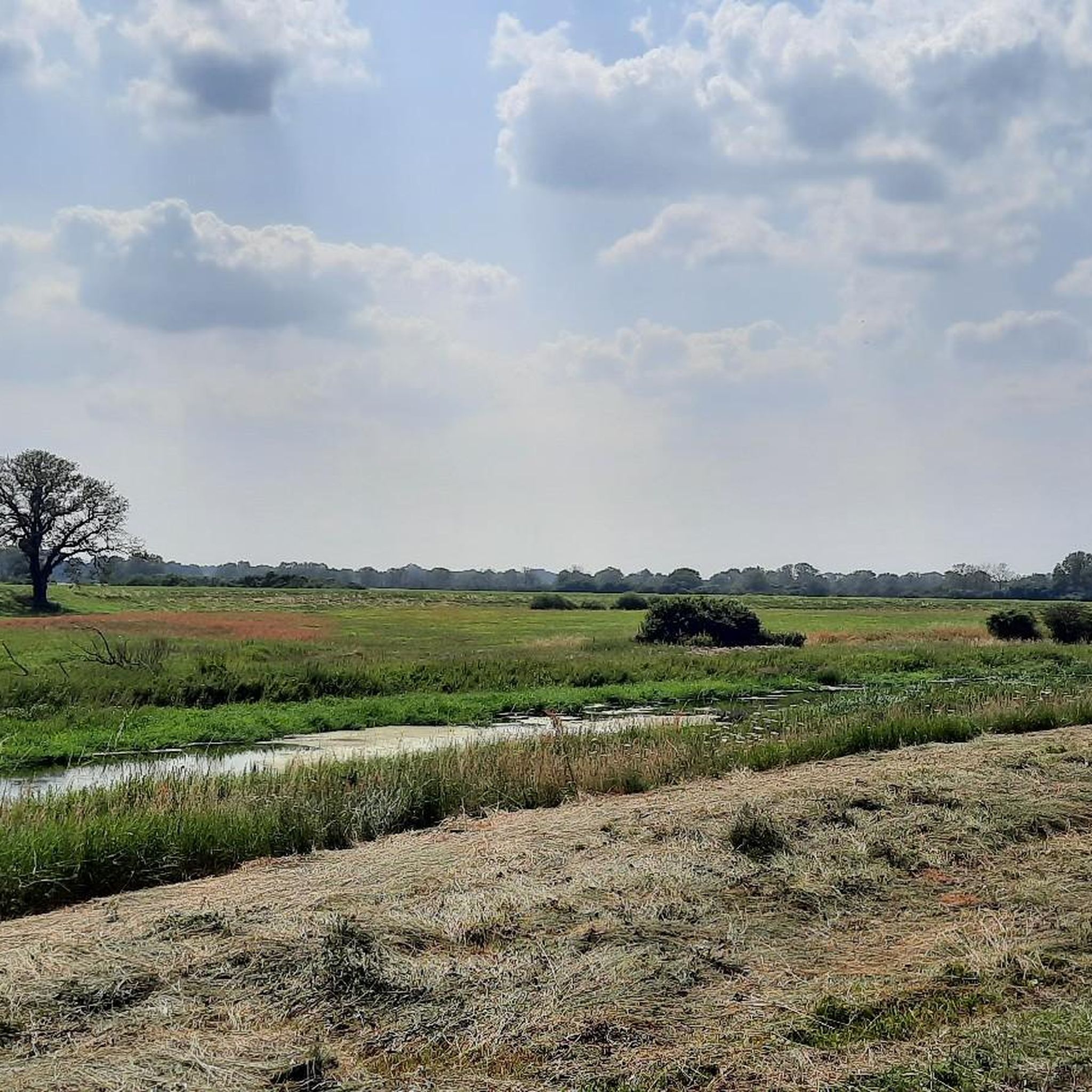
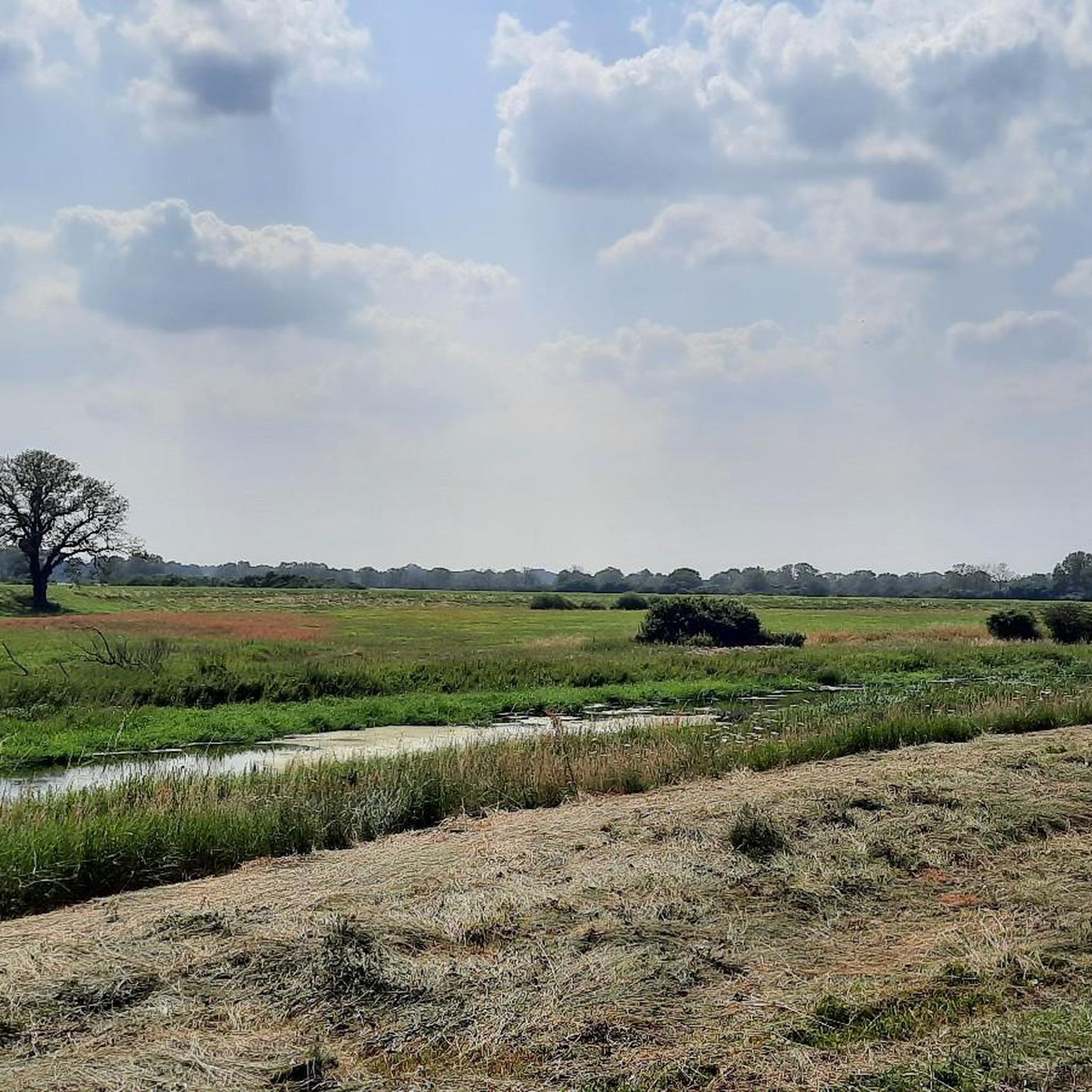
A sprawling, flat river landscape characterized by waterways, meadows, and groups of trees. The lowlands serve as a natural floodplain and change their appearance depending on the water level and season. Open vistas are characteristic, making the area a typical example of a near-natural Elbe floodplain landscape.
0
0
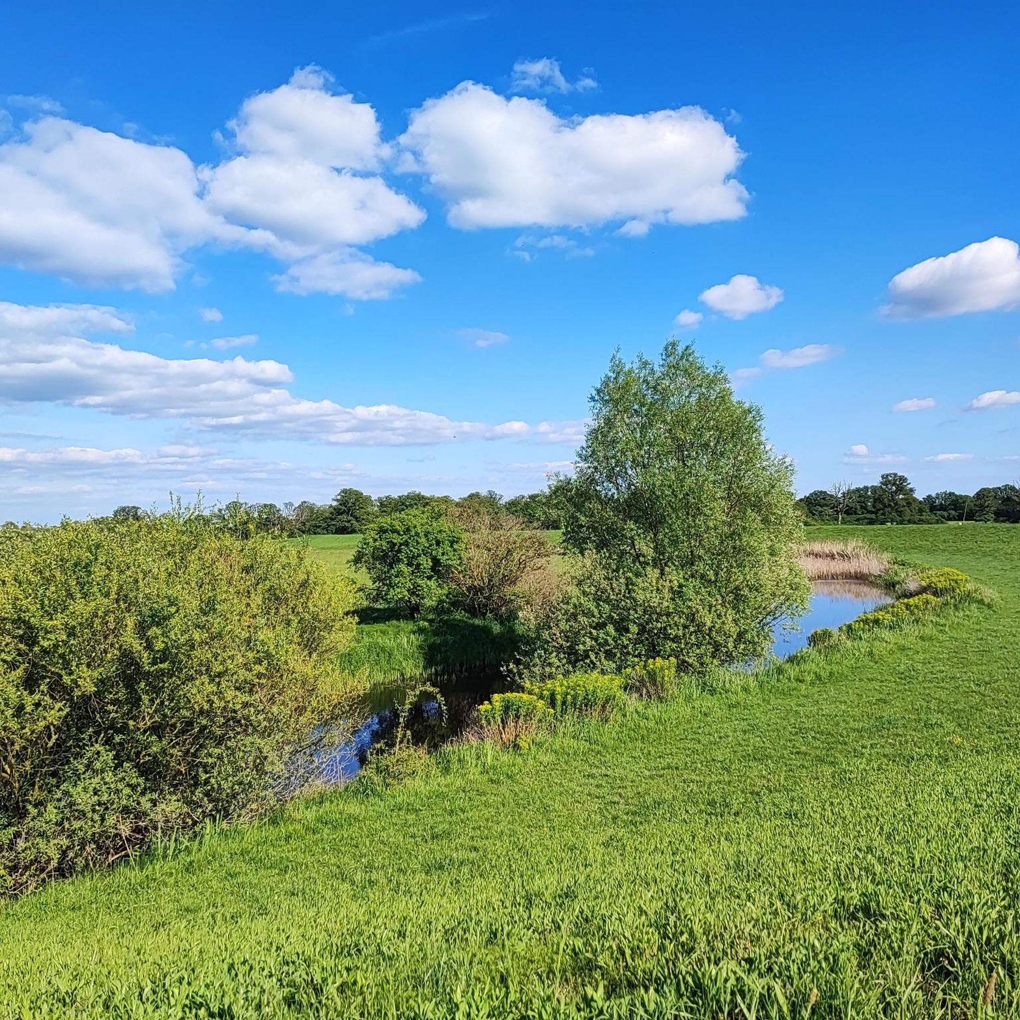
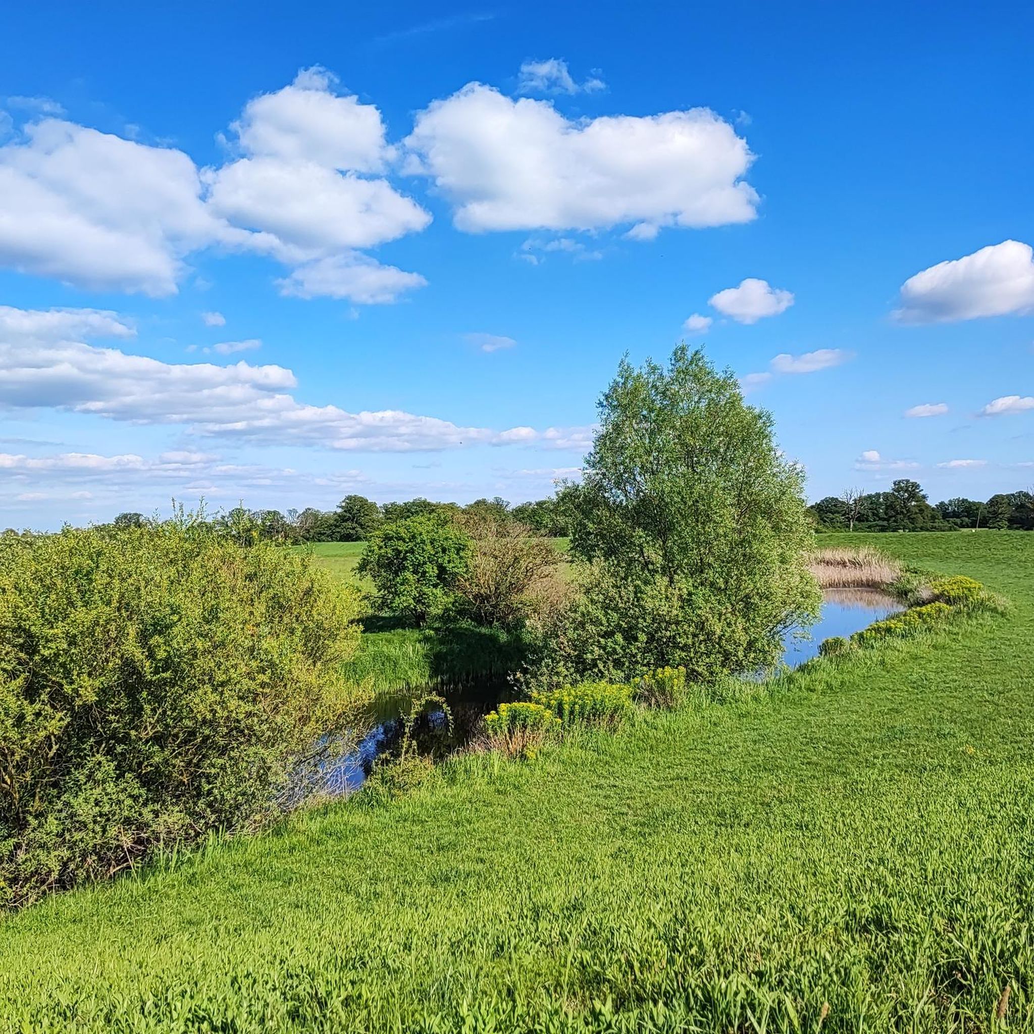
The bridge over the Stepenitz is an important crossing just before the river flows into the Elbe. It connects central urban areas with adjacent residential and recreational areas and is used by vehicular traffic, pedestrians, and cyclists. Its location in the river and floodplain landscape offers unobstructed views of the Stepenitz and the surrounding countryside. It is a defining element of Wittenberge's cityscape.
1
0
A truly brilliant idea! As a cyclist, you immediately feel welcome here. A small measure with a big impact, very well implemented.
0
0

A visit to the interior is worthwhile.
0
0

Coming from the Elbe Cycle Path, the classic "entrance door" to Wittenberge.
2
0
Frequently Asked Questions
How many mountain bike trails are available in Krüdener Forst?
Krüdener Forst offers a selection of mountain bike trails, with over 3 routes currently available on komoot. These routes cater to various skill levels, from easy loops to moderate challenges.
What kind of terrain can I expect when mountain biking in Krüdener Forst?
The terrain in Krüdener Forst is characterized by dense forests and gentle elevations, providing a natural setting for mountain biking. You'll find a mix of wooded paths and open areas, with many routes following river courses. The topography is generally flat, making it accessible for a wide range of riders.
Are there any easy mountain bike trails suitable for beginners or families in Krüdener Forst?
Yes, Krüdener Forst has easy mountain bike trails perfect for beginners or families. An excellent option is the St. Nicholas Church (Beuster) – Anne Elbe Riverside Café loop from Beuster, which is 32.8 km (20.4 miles) long and leads through open countryside and riverside sections. Another easy route is the Hinzdorf Farm Café – Stepenitz Bridge loop from Wittenberge.
What do other mountain bikers enjoy most about Krüdener Forst?
The mountain bike trails in Krüdener Forst are highly rated by the komoot community, with an average score of 5.0 stars from over 3 reviews. Riders often praise the varied forest paths, gentle ascents, and scenic views along the waterways.
Are there any circular mountain bike routes in Krüdener Forst?
Yes, many of the mountain bike routes in Krüdener Forst are designed as loops. For example, the moderate Oak Tree at the Stern – Forsthaus Barsberge loop from Seehausen offers varied forest paths, and the Schnackenburg Market Square – Aland/Biese River and Bridge loop from Wahrenberg follows the Aland and Biese rivers.
Are the mountain bike trails in Krüdener Forst suitable for all skill levels?
Absolutely. Krüdener Forst offers a diverse network of trails that cater to different ability levels. You'll find easy loops for a relaxed ride, as well as moderate routes that provide a bit more challenge, ensuring there's something for everyone.
What are the typical distances of mountain bike trails in Krüdener Forst?
The mountain bike trails in Krüdener Forst vary in length. You can find routes ranging from approximately 19 km (12 miles) up to nearly 38 km (24 miles), offering options for both shorter excursions and longer rides.
Can I expect to see any natural features or viewpoints along the trails?
While specific viewpoints are not detailed, the region is known for its dense woodlands and river valleys. Routes often follow river courses like the Aland and Biese rivers, offering scenic views along the waterways and through open countryside.
Is Krüdener Forst a good destination for mountain biking if I prefer routes with minimal elevation gain?
Yes, Krüdener Forst is an excellent choice if you prefer routes with minimal elevation gain. The topography is generally flat, with gentle elevations, making it suitable for accessible mountain biking without demanding climbs.
What kind of natural environment will I experience while mountain biking in Krüdener Forst?
You will experience a rich natural environment defined by dense woodlands, river valleys, and open fields. The region's diverse landscapes provide a picturesque backdrop for your mountain biking adventures, with opportunities to observe local wildlife.
Are there any trails that follow rivers or waterways in Krüdener Forst?
Yes, several trails in Krüdener Forst follow rivers and waterways. For instance, the Schnackenburg Market Square – Aland/Biese River and Bridge loop from Wahrenberg offers scenic views along the Aland and Biese rivers.
Most popular routes in Krüdener Forst

Get inspired with the komoot mobile app


Explore more
Browse the best MTB trails in other regions.
