The best cycling routes in Hochpochtener Wald
4.6
(1056)
4,940
riders
406
rides
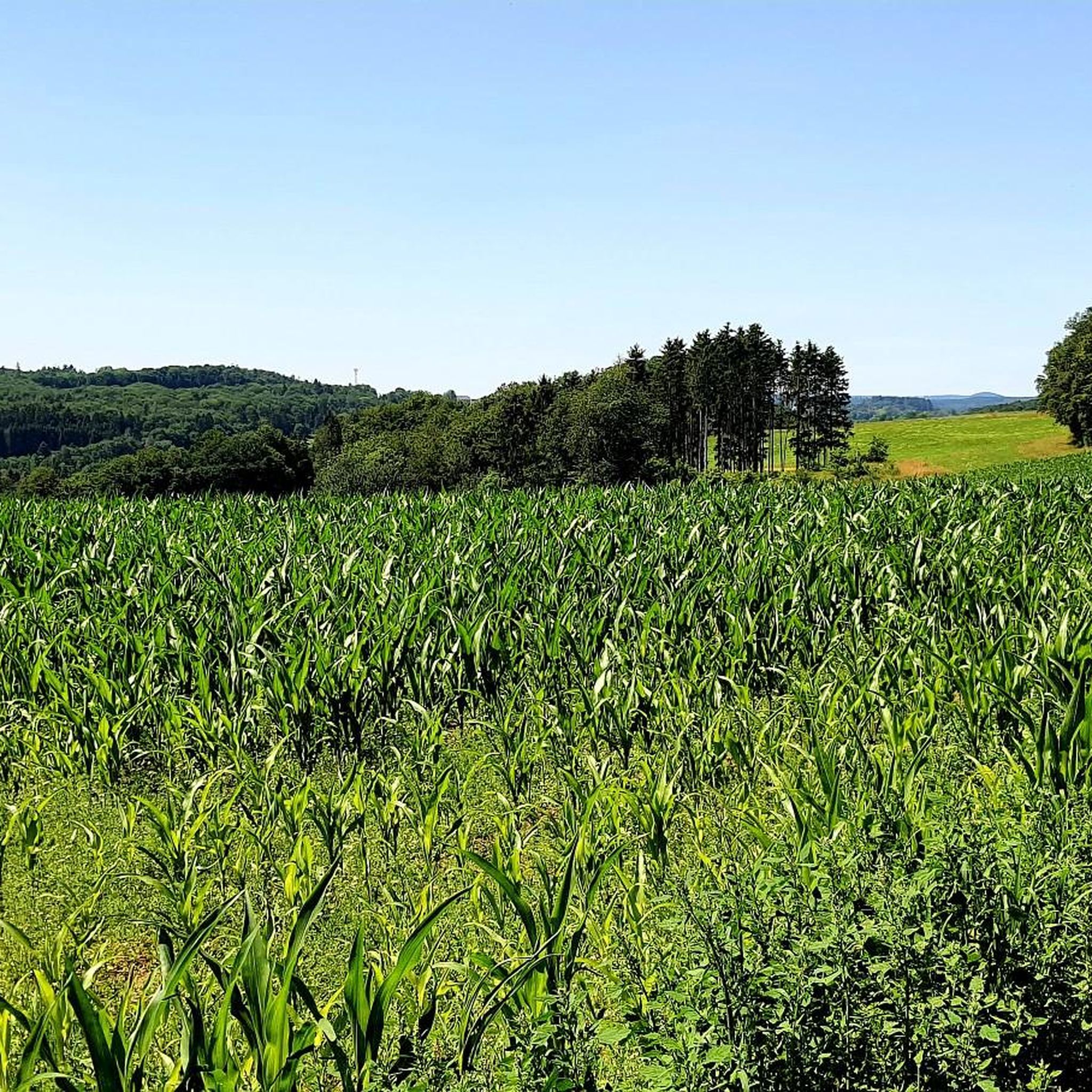
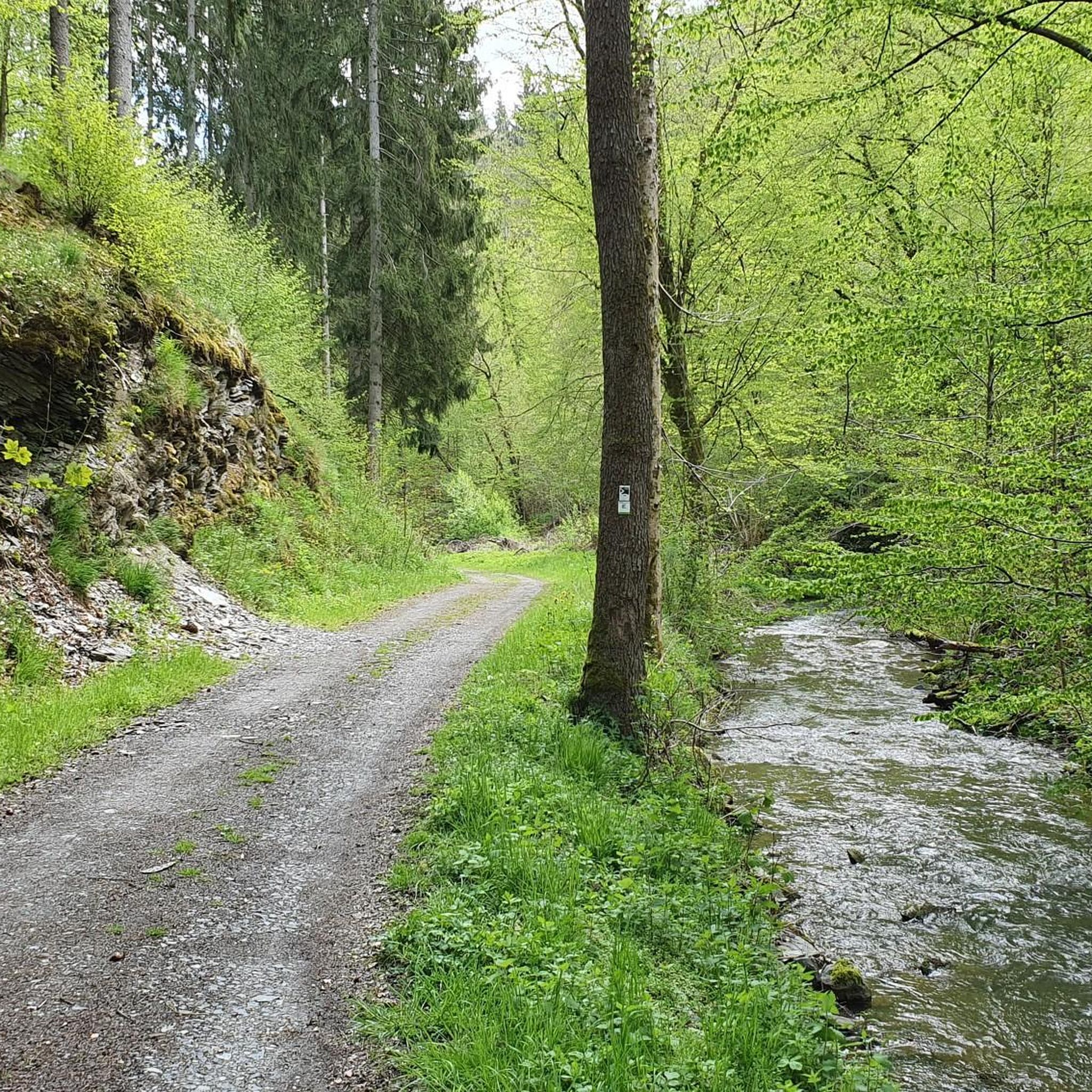
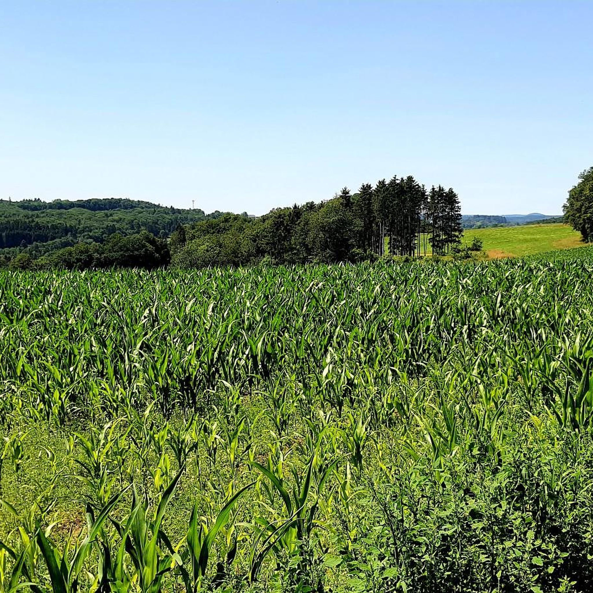
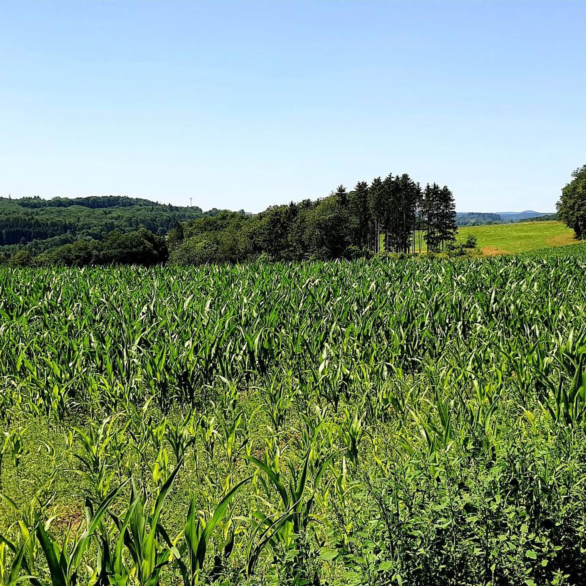
Touring cycling routes in Hochpochtener Wald, located in the Cochem-Zell region, traverse a landscape characterized by dense forests and varied terrain. The area features a mix of forest paths and rural roads, offering diverse environments for cycling. While the main path through the Enderttal is not recommended for cyclists due to safety, the broader region provides numerous suitable routes. The terrain includes both gentle sections and more challenging ascents, reflecting the natural composition of the area.
Best touring cycling routes…
Last updated: July 15, 2026
5.0
(3)
18
riders
35.1km
02:18
450m
450m
Moderate bike ride. Good fitness required. Mostly paved surfaces. Suitable for all skill levels.
5.0
(2)
20
riders
Moderate bike ride. Good fitness required. Mostly paved surfaces. Suitable for all skill levels.

Sign up for free
5.0
(9)
36
riders
42.5km
03:17
720m
720m
Hard bike ride. Very good fitness required. Mostly paved surfaces. Suitable for all skill levels.
5.0
(3)
13
riders
28.5km
01:51
310m
310m
Moderate bike ride. Good fitness required. Mostly paved surfaces. Suitable for all skill levels.
5.0
(2)
6
riders
56.2km
04:29
1,090m
1,090m
Hard bike ride. Very good fitness required. Mostly paved surfaces. Suitable for all skill levels.
Get access to more routes and recommendations from other explorers.
Sign up for free
Already have an account?
Our route recommendations are based on thousands of hikes, rides, and runs completed by other people on komoot.
Start today with a free account
Your next adventure awaits.
Login or Signup

Tips from the Community

Very beautiful artificial lake created, for big and small, what
1
0

Beautiful view of Ediger with the St. Martin Parish Church. It's worth a look inside.
0
0


A comfortable bench with a beautiful view—we enjoyed taking a chat break here early in the morning and enjoying the morning atmosphere!
1
0

1 million years of geology. Worth putting your bike aside for a moment.
6
0
The fairy-tale fountain at the Alten Postplatz tells a story. Here, on this spot, it is at its most beautiful.
7
0
The Ulmen Maar lies 420 meters above sea level today, covers an area of 5.5 hectares, and is 36 meters deep. The bubbles at the maar's edge demonstrate that volcanism is still active. They bear witness to a turbulent past—but rest assured, there's no eruption in sight! A wall of various rocks and ash, up to 20 meters thick, surrounds the cone. For those interested, these testimonies to this explosive past are beautifully displayed in St. Matthias Church. This unique wall, with its different colored layers and rounded inclusions, is worth seeing for more than just geologists. The slopes of the maar basin are covered with a beautiful forest, which can be explored on a circular walk. A detour to the medieval castle ruins, from which the Crusaders once launched their campaigns, is recommended. The view from the crater rim over the maar and the Eifel beyond will take your breath away. Whether after a sweaty hike or a long drive, the blue of the Ulmer Eifel lake is all too tempting in summer. However, bathing in the maar is prohibited because it is designated as a nature and water protection area.
6
0

On the Elztal cycle path between Gunderath and Uersfeld, there is a very quiet rest area with a bench, picnic table and the "Schacht Bergkrone" climbing tower.
0
0
Frequently Asked Questions
How many touring cycling routes are available in Hochpochtener Wald?
Hochpochtener Wald offers a wide selection of touring cycling routes, with over 400 options recorded on komoot. These routes cater to various skill levels, including 45 easy, 210 moderate, and 152 difficult trails.
What kind of terrain can I expect on touring cycling routes in Hochpochtener Wald?
The terrain in Hochpochtener Wald is quite varied, featuring dense forests, rural roads, and a mix of gentle sections and more challenging ascents. While the picturesque Enderttal is not recommended for cyclists due to safety, the broader region provides diverse environments for cycling, from forest paths to open roads.
Are there routes suitable for beginners or families in Hochpochtener Wald?
Yes, Hochpochtener Wald offers 45 easy touring cycling routes, making it suitable for beginners and families looking for a more relaxed ride. These routes typically feature less challenging terrain and elevation changes.
What do other touring cyclists enjoy the most about touring cycling in Hochpochtener Wald?
The area is highly rated by the komoot community, with an average score of 4.6 stars from over 1100 reviews. More than 5000 touring cyclists have explored Hochpochtener Wald, often praising its varied terrain, dense forests, and scenic river valleys.
Are there any waterfalls along the touring cycling routes in Hochpochtener Wald?
Yes, the region is home to the impressive Rausch waterfall, where water plunges 7 meters into the valley. You can experience this natural spectacle on routes like the Calmont Summit Cross – The Rausch Waterfall loop from Vorpochten.
Are there any circular touring cycling routes in Hochpochtener Wald?
Many of the touring cycling routes in Hochpochtener Wald are designed as loops, allowing you to start and end at the same point. Examples include the popular Heilbachsee – Ulmener Maar Tunnel loop from Müllenbach and the Rural Road Through the Eifel – Antoniuskreuz Chapel (Ulmen) loop from Vorpochten.
What natural features or landmarks can I see while cycling in Hochpochtener Wald?
Beyond the dense forests, you can encounter several interesting features. The region boasts charming Wooden Bridges Along the Endert, the historic Saint Jude Shrine in the Endert Valley, and the Schneider Cross (1668). Some routes also pass by natural lakes and tunnels, such as the Bergkrone Mine Tunnel – Heilbachsee loop from Müllenbach.
Are there any challenging touring cycling routes for experienced riders?
Yes, for experienced touring cyclists seeking a challenge, there are 152 difficult routes available. One such route is the Afelskreuz and Chapel – XXL Bench, Vulkaneifel loop from Vorpochten, which covers 26.4 miles (42.5 km) and features significant elevation gain through the Vulkaneifel landscape.
Is the Enderttal suitable for touring cyclists?
While the Enderttal is a significant natural feature of the area, the main path through it is explicitly advised against for cyclists due to safety reasons. Touring cyclists should seek out designated cycle routes outside the specific, rugged hiking trails of the Enderttal.
Are there any routes that explore the Vulkaneifel landscape?
Yes, you can explore the unique Vulkaneifel landscape on routes like the Afelskreuz and Chapel – XXL Bench, Vulkaneifel loop from Vorpochten. This route offers a glimpse into the volcanic history of the region.
Can I find routes that pass by historic chapels or religious sites?
Yes, the region has historical and cultural points of interest. For example, the Rural Road Through the Eifel – Antoniuskreuz Chapel (Ulmen) loop from Vorpochten guides cyclists past a historic chapel. Additionally, the Saint Jude Shrine in the Endert Valley is a prettily designed religious site accessible within the natural landscape.
Most popular routes in Hochpochtener Wald
Most popular attractions in Hochpochtener Wald

Get inspired with the komoot mobile app


Explore more
Browse the best Cycling routes in other regions.
