The best road cycling routes in Staatswald Groß-Gerau
4.4
(1247)
14,496
riders
210
rides
Road cycling in Staatswald Groß-Gerau offers a network of routes through a predominantly flat to gently undulating landscape. The region is characterized by extensive woodlands, open agricultural fields, and proximity to the River Main. Elevation gains are generally low, making it suitable for various fitness levels. These features provide a mix of shaded forest paths and open stretches with views of the surrounding area.
Best road cycling routes in Staatswald Groß-Gerau
- The most popular road cycling route is Viewpoint of…
Last updated: October 8, 2026
4.7
(14)
116
riders
27.7km
01:13
50m
50m
Moderate road ride. Great for any fitness level. Some segments of this route may be unpaved and difficult to ride.
4.6
(5)
100
riders
57.7km
02:21
80m
80m
Moderate road ride. Good fitness required. Some segments of this route may be unpaved and difficult to ride.

3.9
(8)
50
riders
Moderate road ride. Great for any fitness level. Some segments of this route may be unpaved and difficult to ride.
4.3
(6)
82
riders
Easy road ride. Great for any fitness level. Mostly well-paved surfaces and easy to ride.
5.0
(1)
40
riders
Moderate road ride. Good fitness required. Some segments of this route may be unpaved and difficult to ride.
Get access to more routes and recommendations from other explorers.
Already have an account?
Our route recommendations are based on thousands of hikes, rides, and runs completed by other people on komoot.
Start today with a free account
Your next adventure awaits.
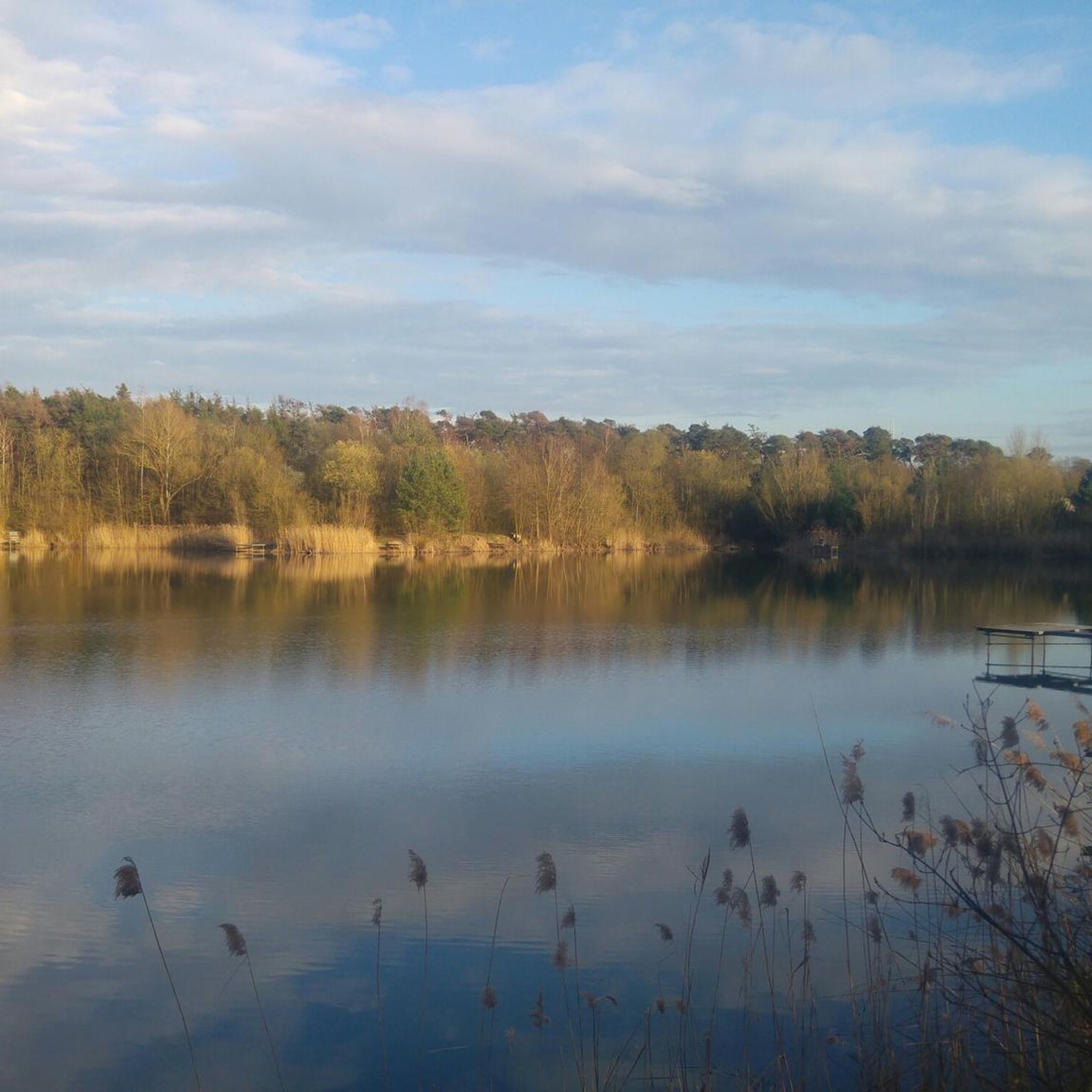
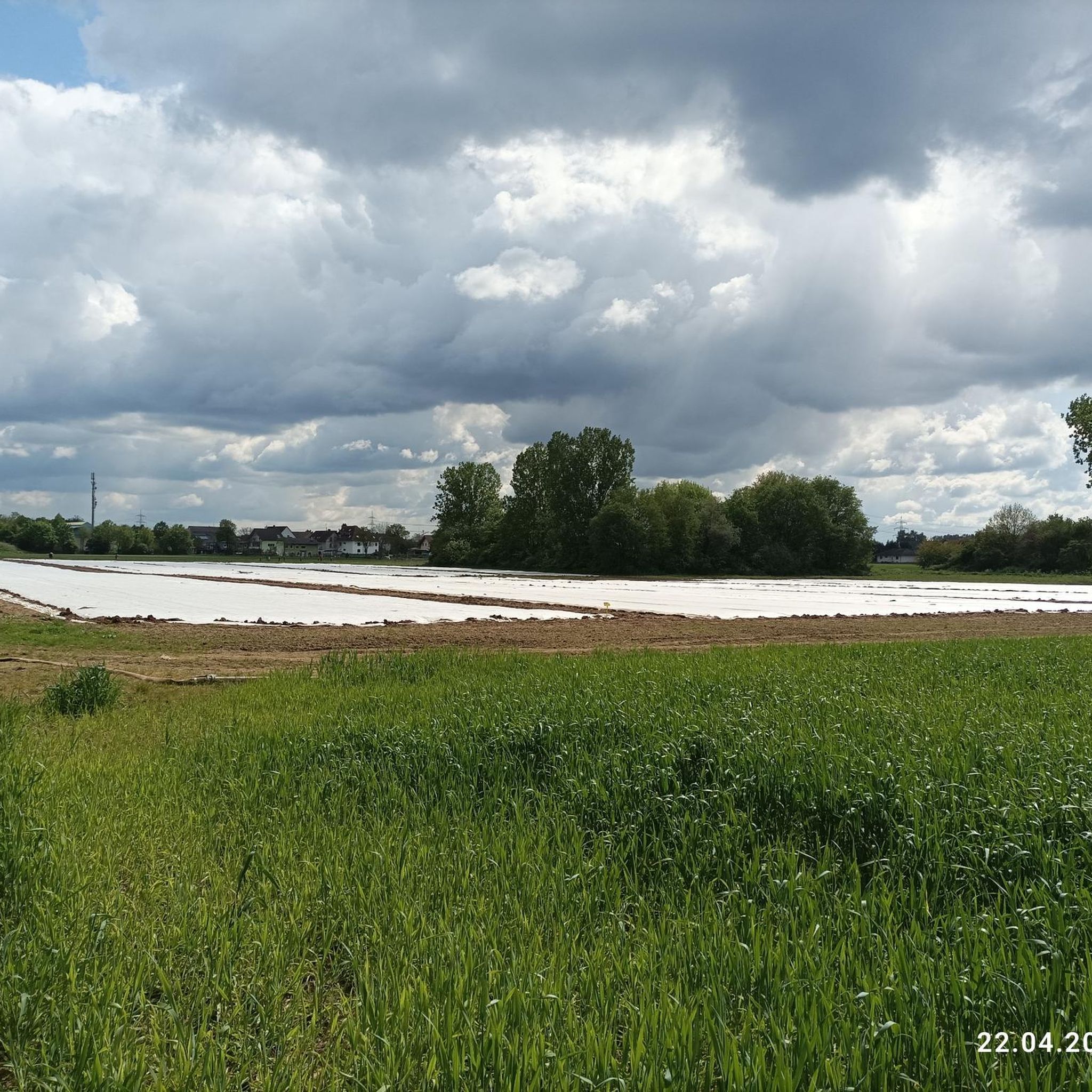
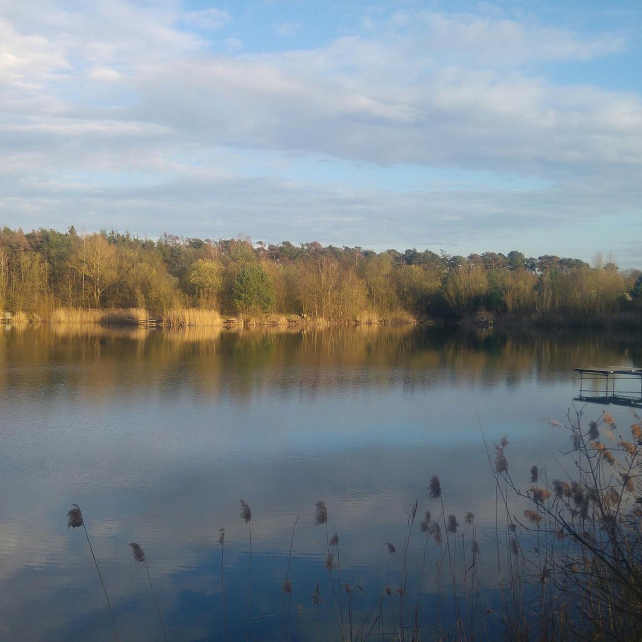
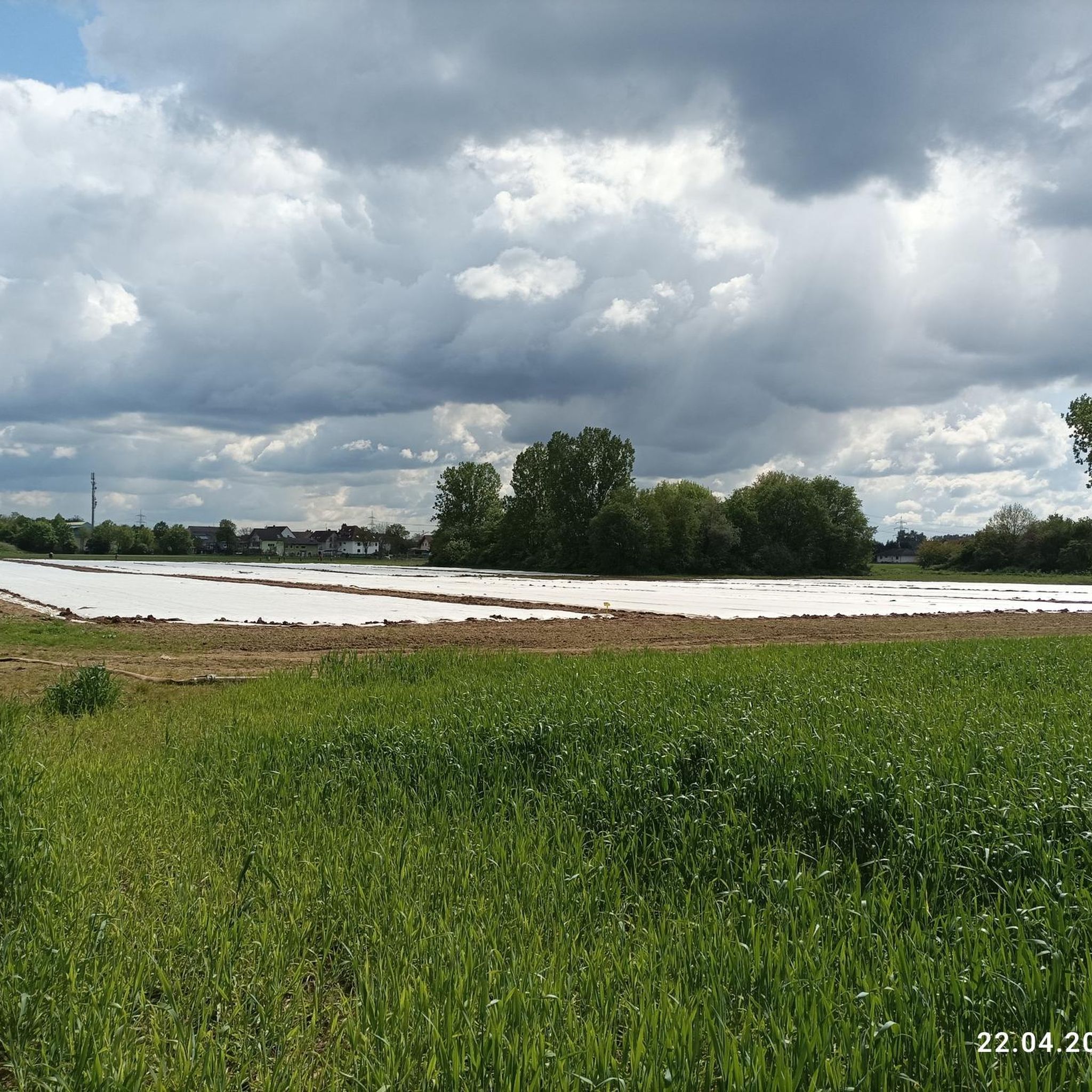
Tips from the Community

Great viewing platform for air spotting
0
0

It's pleasant cycling here.
1
0

Throughout the area behind and around the memorial, impressive signs and exhibits can be found, giving an impression of the size of the facility and things that were seen there and must never happen again!
0
0

With a total length of 527 kilometers, the Main is the longest right-hand tributary of the Rhine and flows as a lifeline through the heart of the entire Rhine-Main region. It officially originates near Kulmbach in Bavaria through the confluence of its two source rivers, the Red Main and the White Main. On its westward journey, the river winds in characteristic loops through Franconia and Hesse, past major metropolises such as Würzburg, Offenbach, and Frankfurt, before finally flowing into the Rhine near Mainz-Kastel (opposite Mainz). For the region, the Main holds immense economic importance as a major shipping route, as it forms a continuous waterway from the North Sea to the Black Sea via the Main-Danube Canal. In addition to its industrial role, the river has been transformed over the past decades into one of the most important areas for local recreation and culture. Kilometers of green spaces stretch along its banks, such as the Frankfurt Mainufer or the promenades in Rüsselsheim and Höchst, offering space for sports, gastronomy, and relaxation. The popular, largely flat Main Cycle Path accompanies the river along its entire length, connecting historic old towns, wine regions, and modern cityscapes. Furthermore, the river significantly shapes the region's climate and nature and serves as a habitat for numerous protected water birds and fish species.
10
0
The Main, with a total length of around 527 kilometers, is the longest right-bank tributary of the Rhine and one of Germany's most important rivers. It is formed by the confluence of two headwaters, the Red Main (Roter Main) from the Franconian Jura and the White Main (Weißer Main) from the Fichtelgebirge, which unite near Kulmbach in Upper Franconia. From there, the river meanders in distinct loops in a westerly direction through the federal states of Bavaria, Baden-Württemberg, and Hesse. The characteristic river bends shape scenically attractive regions such as the Franconian Wine Land or the Spessart, before the river finally flows into the Rhine at Mainz-Kostheim, opposite Mainz.The Main plays an outstanding role in the economy and transport in Central Europe as a major international shipping route. Through the Main-Danube Canal, completed in 1992, it is part of a continuous European waterway that connects the North Sea with the Black Sea via the Rhine and the Danube. The river thus serves as a lifeline for freight transport across the continent. Along its course lie important economic and industrial centers, above all the metropolis of Frankfurt am Main, whose famous skyline would be unthinkable without the picturesque backdrop of the river and its numerous bridges and promenades.In addition to its economic function, the Main has inestimable value for ecology and recreation. Its bank zones offer important habitats for a species-rich animal and plant world. For the population of the adjacent cities and communities, the river serves as a central local recreation area. Well-developed cycle paths, such as the popular Main Cycle Path (Main-Radweg), accompany the entire course of the river and attract numerous cyclists and hikers every year. In addition, water sports, excursion boats, and lively river promenades characterize the image of the river in the urban centers and make it a meeting point for sport and culture.
6
0

The Zeppelinheim viewpoint is legendary among planespotters and offers one of the best insights into the operations of Frankfurt Airport (FRA). When you stand there, you are right in the middle of the action on the southern runways.
0
0

Super nice to ride
0
0

It can get quite crowded there when the weather is nice.
0
0
Frequently Asked Questions
How many road cycling routes are available in Staatswald Groß-Gerau?
There are over 200 road cycling routes in Staatswald Groß-Gerau, offering a wide variety of options for different skill levels and preferences.
What is the typical terrain like for road cycling in Staatswald Groß-Gerau?
The region is characterized by a predominantly flat to gently undulating landscape. You'll find extensive woodlands, open agricultural fields, and routes that often follow the River Main. Elevation gains are generally low, making it suitable for various fitness levels.
Are there easy road bike trails suitable for beginners in Staatswald Groß-Gerau?
Yes, Staatswald Groß-Gerau offers many easy road cycling routes perfect for beginners. For example, the Mönchbruch Hunting Lodge – Mönchbruch Cycle Path loop from Mörfelden is an easy 14-mile (22.5 km) trail with minimal elevation gain.
Can I find long-distance road bike routes in Staatswald Groß-Gerau?
Absolutely. For those looking for longer rides, routes like the Works Bridge West – Mönchbruch Hunting Lodge loop from Mörfelden cover over 38 miles (61 km) and offer a moderate challenge through varied landscapes.
What can I see along the road cycling routes in Staatswald Groß-Gerau?
Many routes offer interesting sights. You can pass by the Railway Crossing near Mörfelden-Walldorf, enjoy views from the Bench under the Drilling Trees, or cycle past the Lake in the Am Belzberg Nature Reserve. Some routes also provide unique views of Frankfurt Airport.
Are there circular road bike routes in Staatswald Groß-Gerau?
Yes, many of the road cycling routes in Staatswald Groß-Gerau are designed as loops, allowing you to start and finish at the same point. A popular example is the Viewpoint of Frankfurt Airport loop from Mörfelden.
What is the best season for road biking in Staatswald Groß-Gerau?
Spring, summer, and early autumn are generally the best seasons for road biking in Staatswald Groß-Gerau. The mild weather and lush greenery make for pleasant rides. During these months, the open fields and forest paths are particularly inviting.
Is Staatswald Groß-Gerau suitable for family-friendly road cycling?
Given the predominantly flat to gently undulating terrain and numerous easy routes, Staatswald Groß-Gerau is well-suited for family-friendly road cycling. Many paths are paved and pass through quiet forest areas or along the river, providing a safe and enjoyable experience for all ages.
What do other road cyclists enjoy the most about road cycling in Staatswald Groß-Gerau?
The area is highly rated by the komoot community, with an average score of 4.4 stars from over 980 reviews. Reviewers often praise the quiet woodlands, the well-maintained paths, and the scenic views of the surrounding nature and the River Main.
Are there any specific landmarks or points of interest along the routes?
Beyond natural sights, you can encounter landmarks such as the Mönchbruch Hunting Lodge, which is featured on routes like the Mönchbruch Hunting Lodge – Leeheim Space Monitoring Station loop from Mörfelden. The region also has various facilities like benches in the forest for resting.
Where can I find cafes or places to rest near the road bike trails?
Many routes pass through or near towns and villages where you can find cafes and restaurants. For example, the KelsterBAR on the River Main – Kelsterbach–Schwanheim Bridge loop from Mörfelden takes you along the River Main, where you can find places to stop and refresh.
Most popular routes in Staatswald Groß-Gerau
Most popular attractions in Staatswald Groß-Gerau

Get inspired with the komoot mobile app


Explore more
Browse the best Road cycling routes in other regions.
