The best road cycling routes in Donnersberg
4.5
(660)
9,131
riders
224
rides
Road cycling in Donnersberg offers varied terrain within the Palatinate region of Germany. As the highest peak in the area, Donnersberg provides substantial elevation gains and rewarding descents. The region is characterized by its volcanic origin, dense forests, and mountainous landscapes, forming part of the North Palatine Uplands. Cyclists encounter routes traversing valleys, hills, and challenging ascents.
Best road cycling routes in Donnersberg
- The most popular road cycling route is Bietigheim Old Town – Neckar Bend at Kirchheim loop from…
Last updated: October 8, 2026
4.3
(4)
70
riders
46.6km
02:12
590m
590m
Moderate road ride. Good fitness required. Some segments of this route may be unpaved and difficult to ride.
4.0
(1)
59
riders
55.9km
02:38
410m
410m
Moderate road ride. Good fitness required. Some segments of this route may be unpaved and difficult to ride.

5.0
(1)
48
riders
34.5km
01:31
260m
260m
Easy road ride. Great for any fitness level. Mostly well-paved surfaces and easy to ride.
5.0
(2)
47
riders
35.3km
01:33
220m
220m
Moderate road ride. Great for any fitness level. Some segments of this route may be unpaved and difficult to ride.
17
riders
71.9km
03:14
590m
590m
Moderate road ride. Good fitness required. Some segments of this route may be unpaved and difficult to ride.
Get access to more routes and recommendations from other explorers.
Already have an account?
Our route recommendations are based on thousands of hikes, rides, and runs completed by other people on komoot.
Start today with a free account
Your next adventure awaits.

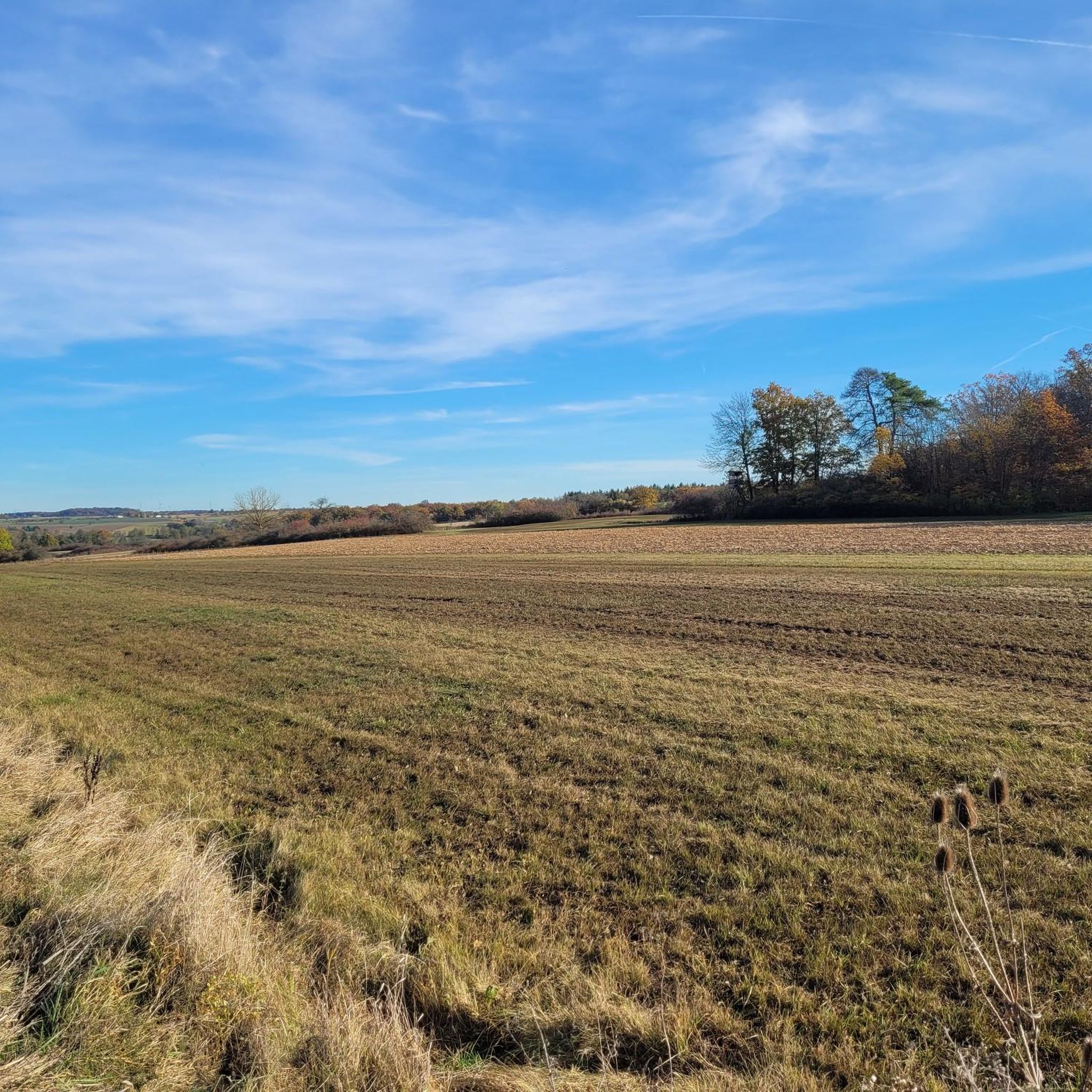
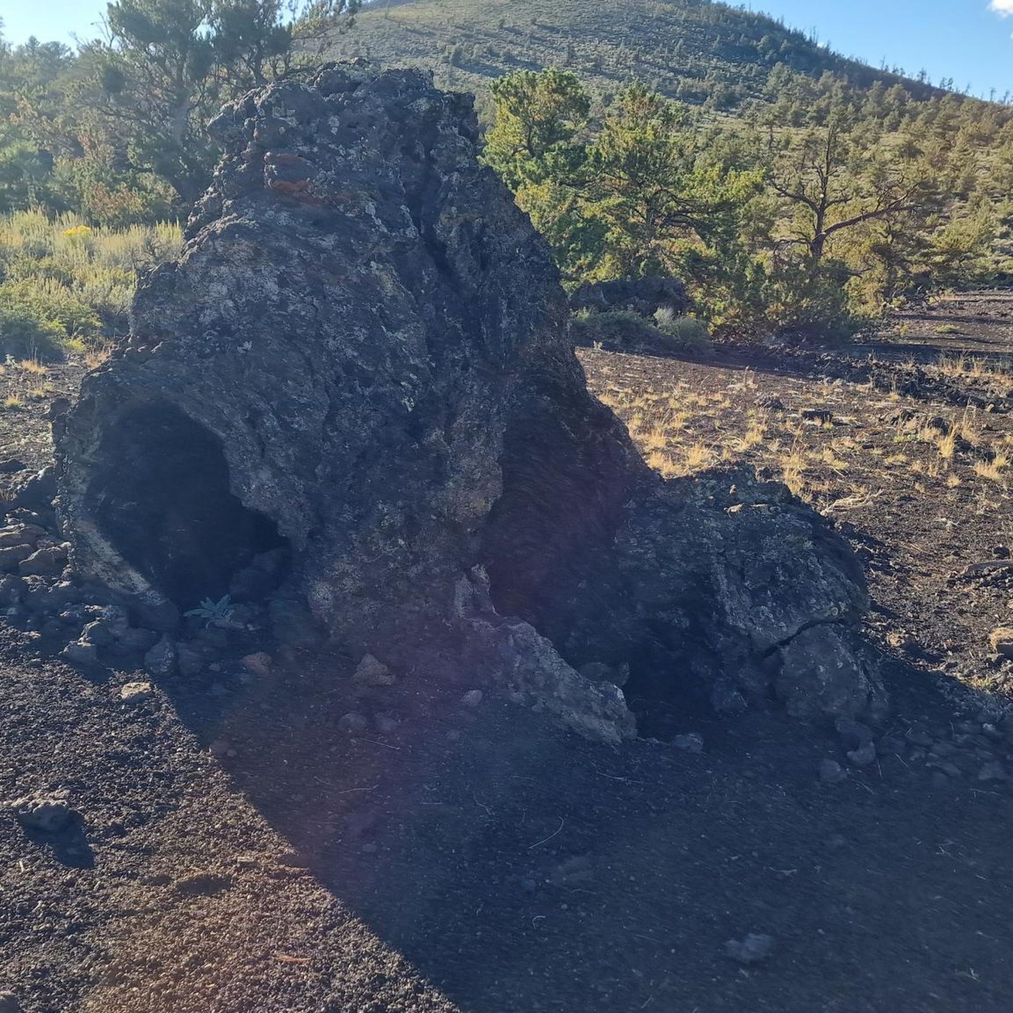
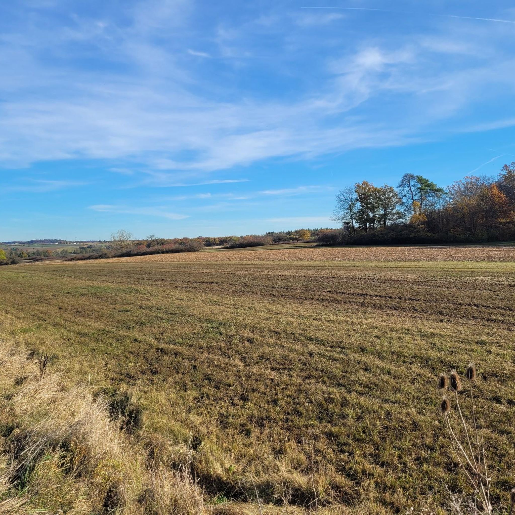
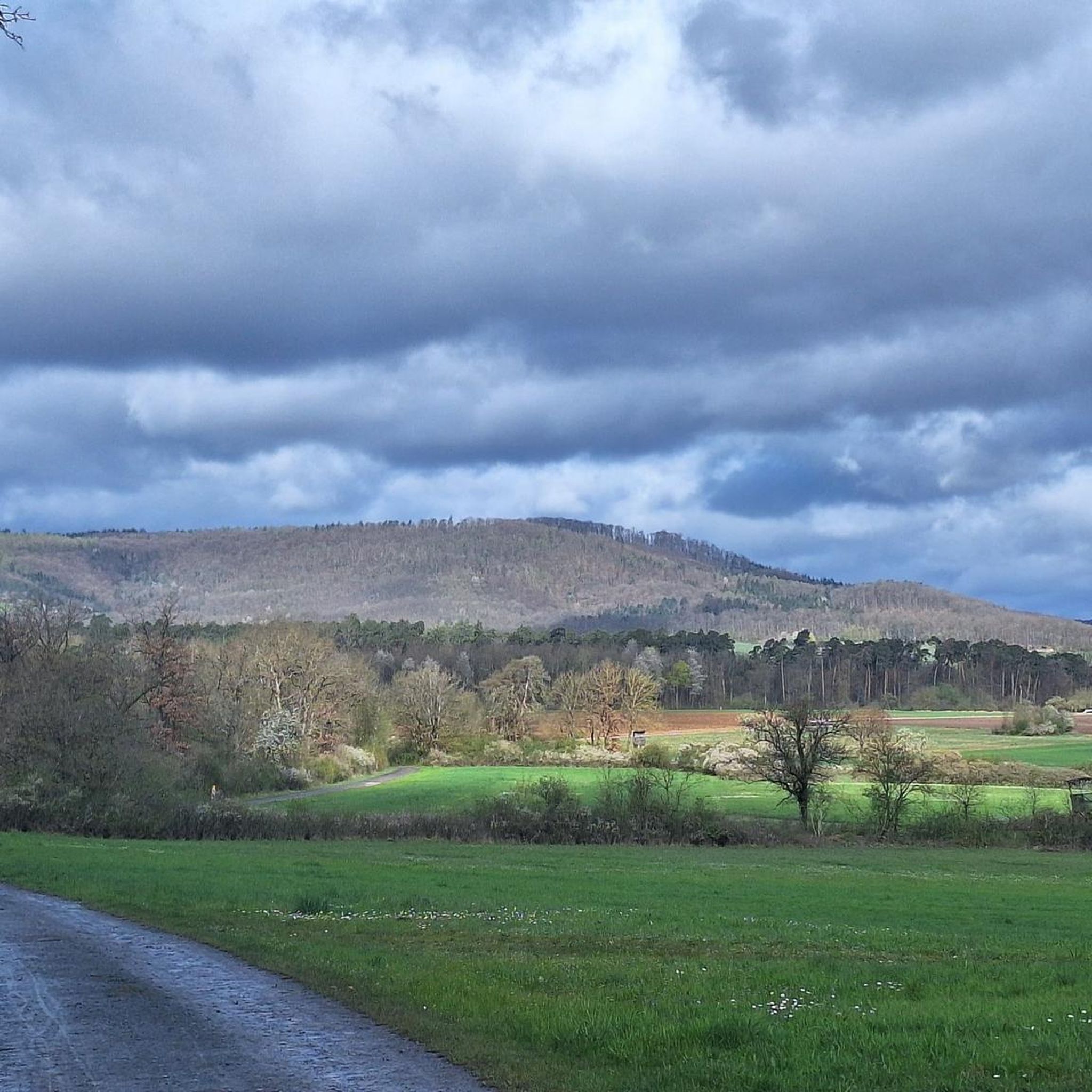
Other adventures in Donnersberg

Tips from the Community

On an island between the arms of the Neckar lies the beautiful building ensemble with a view of the river.
3
0
Such a beautiful little town that stretches up from the Neckar to the limestone terraces with the vineyards.
2
0

Lauffern Castle on the Neckar island is a striking landmark.
0
0

On the right bank of the Enz, in front of the high Wobach rock face, about 300m upstream from the railway viaduct, there has been a walkable landscape model since the 1989 State Garden Show, featuring the rocks of the South German Scarpland. On a geological journey through time, one gains insights into the course of life on Earth, the origin and structure of the Scarpland, as well as the life world of the Muschelkalk sea.
3
0

Bridge over the sluggishly flowing Enz River shortly before the entrance to Rosswag. Views of the weir and fish ladder, as well as the steep slopes of the nearby vineyards.
7
0
A natural hiking trail runs directly along the Enz river below the Kammertenberg nature reserve.
6
0
Frequently Asked Questions
How many road cycling routes are available in Donnersberg?
Donnersberg offers over 240 road cycling routes, catering to various skill levels. You'll find a mix of easy, moderate, and difficult options to explore the region's diverse landscapes.
What kind of terrain can I expect when road cycling in Donnersberg?
Road cycling in Donnersberg is characterized by its striking and challenging terrain. Expect routes that traverse valleys, hills, and mountainous landscapes, with significant elevation gains and rewarding descents. The region's volcanic origin contributes to its distinct geological features and challenging ascents, some reaching gradients of up to 13%.
Are there routes suitable for beginners or those looking for an easier ride?
Yes, Donnersberg offers routes for all abilities. While the region is known for its challenging climbs, there are approximately 50 easy road cycling routes available. For example, the View of Hohenhaslach – Bietigheim Old Town loop from Sersheim is an easy option that covers about 34 km.
What are some notable landmarks or viewpoints along the road cycling routes?
Donnersberg's routes offer access to several significant landmarks and viewpoints. You can enjoy panoramic views from the summit (Königstuhl) or the Adlerbogen at Moltkefels, which overlooks the Zellertal and Worms. The Ludwigsturm, a 27-meter-tall tower, also provides expansive vistas. Additionally, the region's rich history is visible through the Celtic ringwork (oppidum) and reconstructed sections of the Celtic wall.
What do other road cyclists enjoy most about road cycling in Donnersberg?
The road cycling experience in Donnersberg is highly rated by the komoot community, with an average score of 4.5 stars from over 400 reviews. Cyclists frequently praise the varied terrain, the challenging ascents, and the beautiful natural scenery, including dense forests and unique volcanic landscapes.
Are there any circular road cycling routes in Donnersberg?
Yes, many road cycling routes in Donnersberg are designed as loops. For instance, the Bietigheim Old Town – Neckar Bend at Kirchheim loop from Sersheim is a popular 90 km circular route, and the View of Hohenhaslach – Kirbachtal Valley Road loop from Sersheim offers a 46.6 km ride through the Kirbachtal Valley.
What natural features can I expect to see along the routes?
The Donnersberg region is known for its unique natural features, stemming from its volcanic origin. You'll encounter densely forested and mountainous terrain, impressive rock formations, and diverse geological features like rhyolite deposits. Several nature reserves, such as Spendel-Wildenstein and Beutelfels, protect the local biodiversity and offer stunning vistas.
Are there any family-friendly cycling options in Donnersberg?
While many routes offer significant elevation changes, Donnersberg does have easier sections and routes that can be enjoyed by families. Look for routes designated as 'easy' in the komoot app, which typically feature less demanding climbs and more gentle terrain suitable for a family outing.
Where can I find parking for road cycling routes in Donnersberg?
Parking is available at various points throughout the Donnersberg region, often near trailheads or popular starting points. For example, the Sersheim Fitness Trail Parking Area is a designated spot that can serve as a convenient starting point for several routes.
What is the best time of year for road cycling in Donnersberg?
The best time for road cycling in Donnersberg is generally from spring through autumn. During these seasons, the weather is more favorable, and the natural landscapes are at their most vibrant. The challenging terrain can be particularly rewarding when conditions are dry and temperatures are moderate.
Are there any attractions or points of interest near the road cycling routes?
Yes, beyond the cycling itself, Donnersberg offers several points of interest. You might pass by the Bridge Over the Kirbach, or the tranquil Untere See Nature Reserve. There's also the Metter Bridge Path Between Sersheim and Sachsenheim, offering scenic views. For families, a forest playground with barbecue area is also available.
Most popular routes in Donnersberg
Most popular attractions in Donnersberg

Get inspired with the komoot mobile app


Explore more
Browse the best Road cycling routes in other regions.
