The best walks and hikes in Staatsforst Grumbach
4.5
(8606)
30,188
hikers
1,216
hikes
Hiking in Staatsforst Grumbach, located in the Kusel region of Rhineland-Palatinate, Germany, offers diverse landscapes within the Palatinate Mountains. The area is characterized by dense forests, green meadows, and the Lauter River, providing varied terrain for outdoor activities. Hikers can expect routes that traverse riverbanks, feature impressive rock formations, and include ascents to ridges offering panoramic views.
Best hiking trails in Staatsforst Grumbach
- The most popular hiking route is Helmut's Hofschänke – View of Staffelberg loop from Windischletten, a…
Last updated: September 30, 2026
4.5
(11)
31
hikers
7.49km
02:01
100m
100m
Moderate hike. Good fitness required. Easily-accessible paths. Suitable for all skill levels.
4.4
(10)
22
hikers
5.64km
01:30
60m
60m
Easy hike. Great for any fitness level. Easily-accessible paths. Suitable for all skill levels.

4.5
(4)
11
hikers
7.51km
02:02
110m
110m
Moderate hike. Good fitness required. Easily-accessible paths. Suitable for all skill levels.
4
hikers
7.88km
02:08
110m
110m
Moderate hike. Good fitness required. Easily-accessible paths. Suitable for all skill levels.
3.5
(2)
5
hikers
Moderate hike. Good fitness required. Easily-accessible paths. Suitable for all skill levels.
Get access to more routes and recommendations from other explorers.
Already have an account?
Our route recommendations are based on thousands of hikes, rides, and runs completed by other people on komoot.
Start today with a free account
Your next adventure awaits.
Tips from the Community

The Windischletten linden tree, which is visible from afar and listed as a cultural-historical monument, stands on the municipal boundary between Windischletten and Oberoberndorf. In 2023, the wrought-iron field cross erected in 1892 by the former municipality of Windischletten had to be re-erected about 10 m from its old location because it was leaning there and threatened to fall over due to the roots of the protected linden tree.
0
0

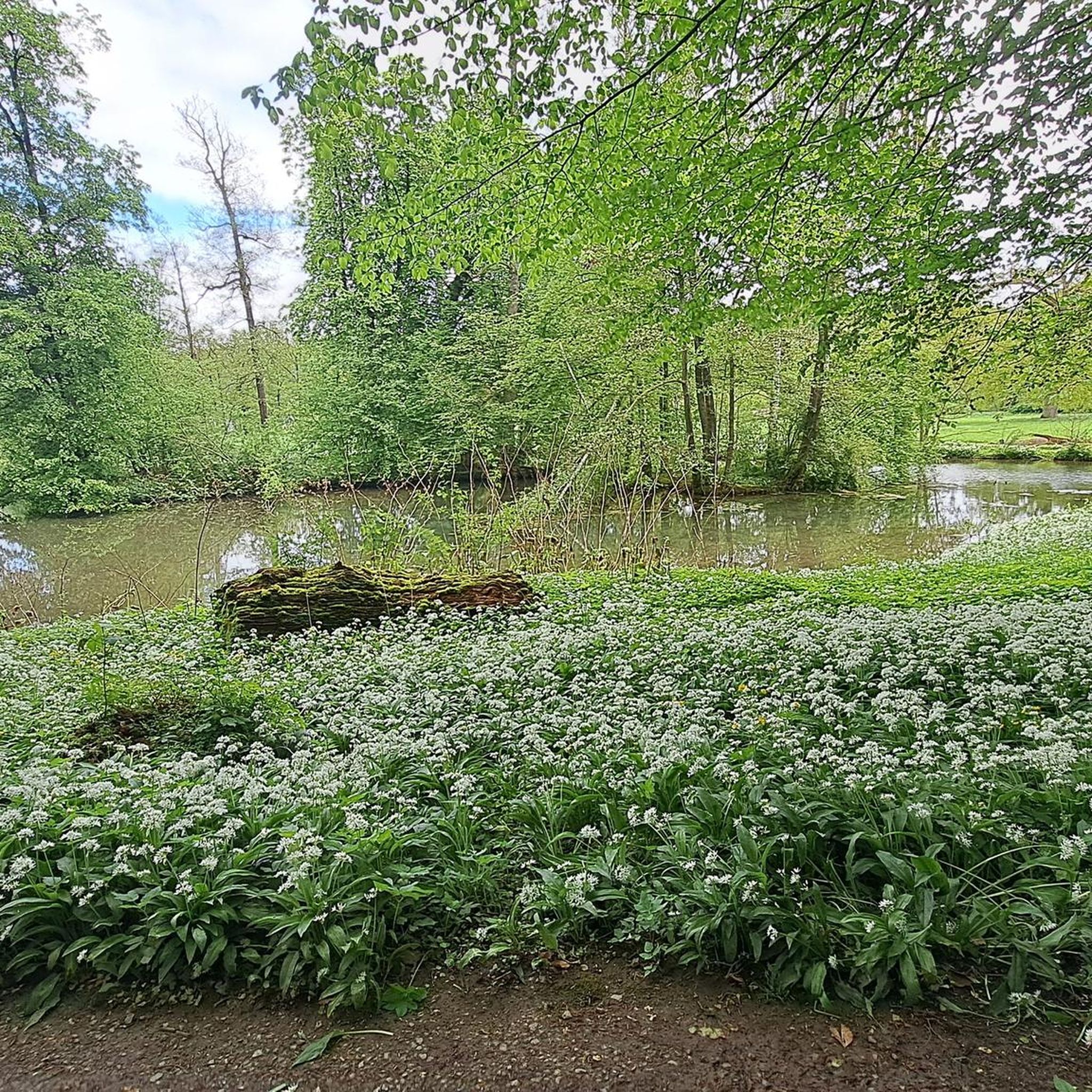
Idyllic cool spring next to a small lake with lots of animals. Now not the top highlight / travel destination, but if you are on the way to Leimershof, you should include this point!
1
0
A little rest in the forest, the bottle caps were removed from the stone. Space for new ones or someone bothered, I leave that open.
2
0

Good place for a break, information boards about the solar fields
0
0
Pavilion in the solar park with information boards
0
0
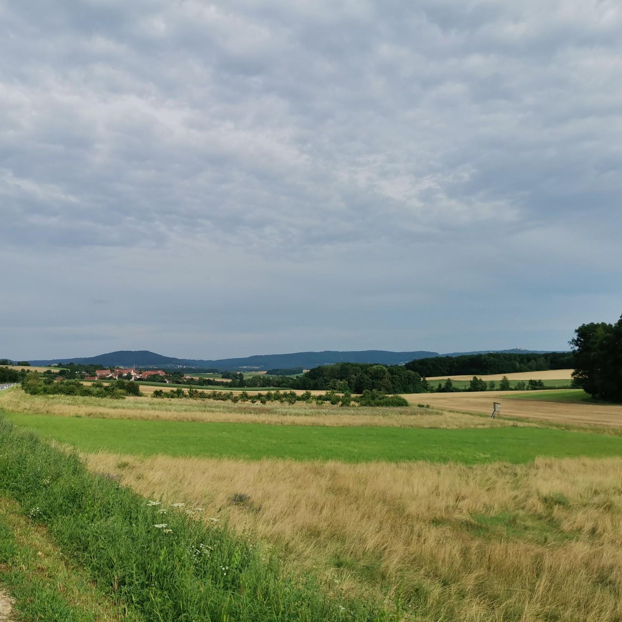
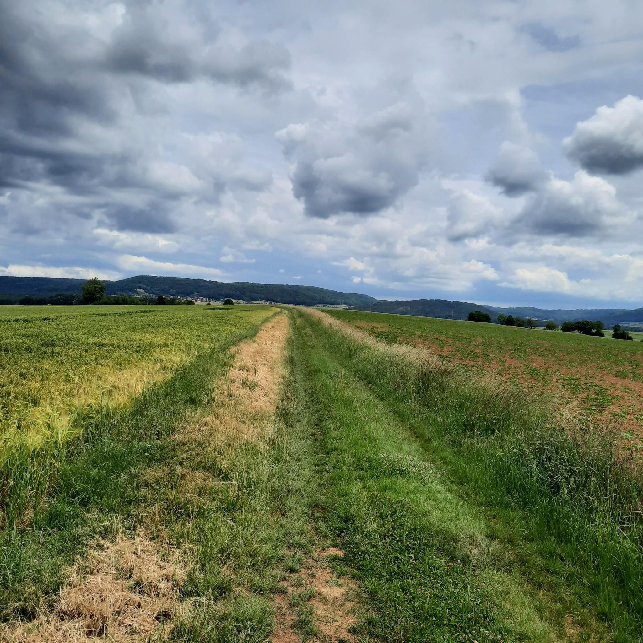
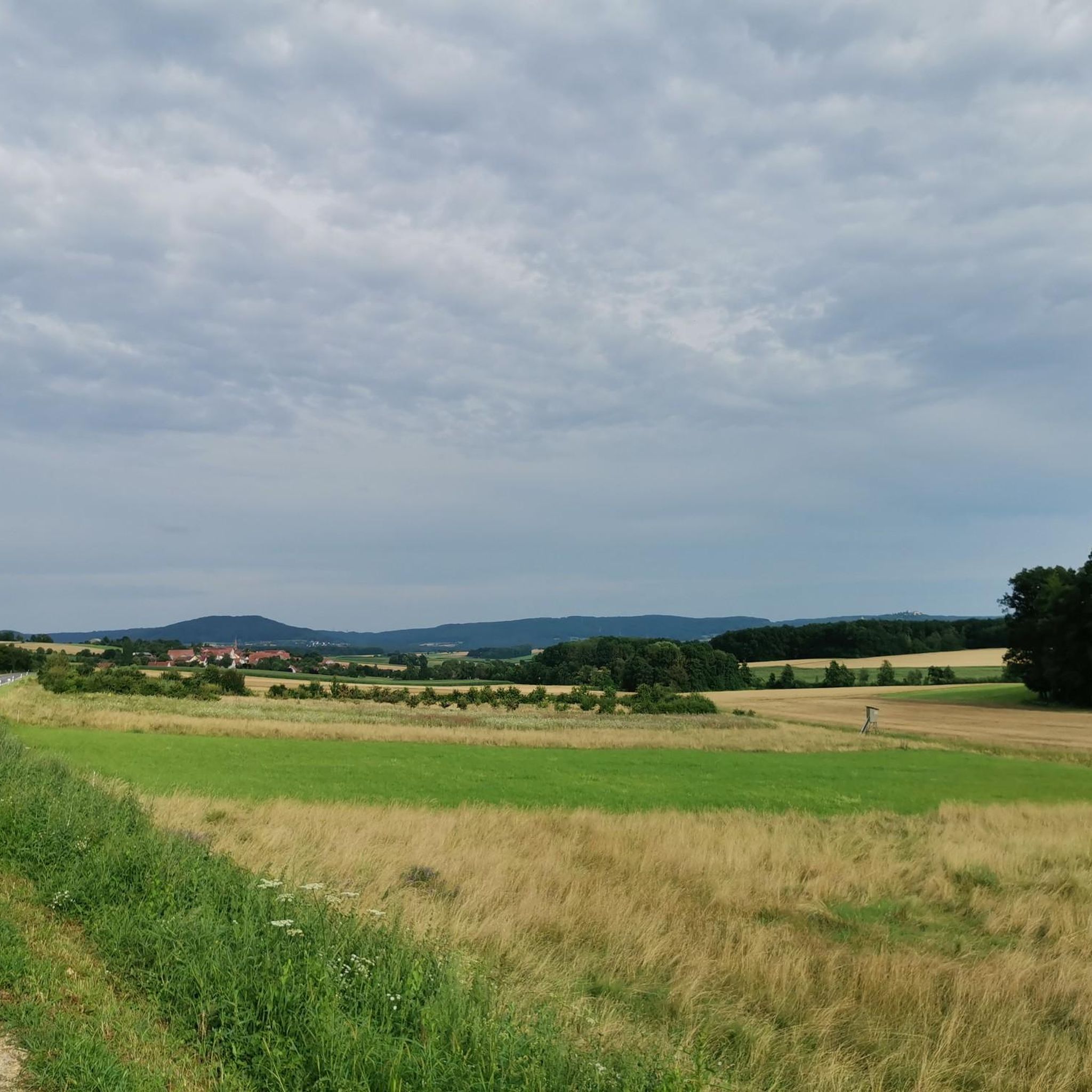
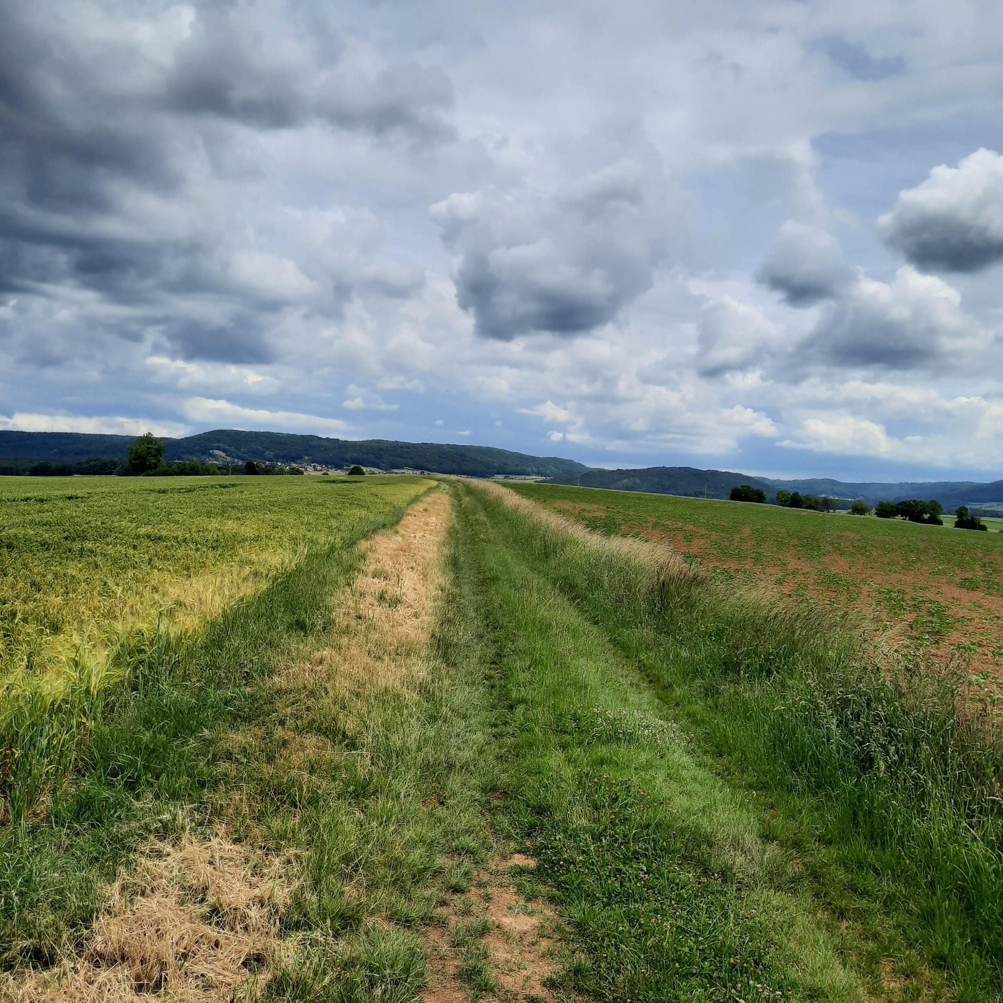
You don't have to be on a mountain peak to enjoy a magnificent panoramic view. The ridge path to the Windischletten Linden tree also offers such a magnificent panoramic view: the northern Franconian Jura with Giechburg, Reisberg, Hohe Metze, Ansberg, Staffelberg, the Coburg region, the Banzer Forest with its monastery, the Eierberge, the Haßberge, and, on a clear day, the Gleichberge in Thuringia lie at the hiker's feet. The now paved path once ran along an old road. Napoleon is said to have marched east along this path with his troops.
0
0

Not really a highlight, but if you are already there you can go to the source
5
0

From the Windischlettner lime tree you have a very nice view. In the east, the Jura begins about 5 km away, in the north you can see the Upper Main Valley, the Coburg region and the Thuringian Forest. In the west the Hassberge and the 2 peaks of the same mountains near Römhild (approx. 50 km away). In the south Bamberg and the Steigerwald.
1
0
Frequently Asked Questions
How many hiking trails are available in Staatsforst Grumbach?
Staatsforst Grumbach offers a vast network of over 1200 hiking trails. These routes cater to various preferences, including easy strolls, moderate excursions, and more challenging ascents, ensuring there's something for every hiker.
What kind of landscapes and natural features can I expect to see while hiking here?
The region is characterized by diverse landscapes, including dense forests, green meadows, and the scenic Lauter River. You'll encounter impressive rock formations along riverbanks and can ascend to elevated ridges like the Schlossberg, which offers spectacular panoramic views across the Grumbachtal valley and towards Lichtenberg Castle. The area is nestled within the beautiful Palatinate Mountains.
Are there any family-friendly hiking options in Staatsforst Grumbach?
Yes, the circular hiking trail around the nearby Bärensee (Bear Lake) is highly recommended for families. It's an easy-to-navigate path featuring small waterfalls, rich flora and fauna, and opportunities for children to splash in the lake or feed animals. For a relaxed walk, consider the Gut Leimershof – Helmut's Hofschänke loop from Sassendorf, an easy 3.4-mile path with a gentle elevation profile.
What is the best time of year to go hiking in Staatsforst Grumbach?
The best seasons for hiking in Staatsforst Grumbach are spring and autumn. During these times, the weather is pleasantly mild, and nature is at its most beautiful, with colorful flowers blooming in spring and warm hues creating a romantic atmosphere in autumn.
Are there any challenging hikes for experienced adventurers?
Ambitious hikers can undertake the more challenging ascent to the Schlossberg ridge. This route includes steep climbs and narrow paths along the slope, rewarding adventurers with spectacular panoramic views across the entire Grumbachtal valley, extending all the way to Lichtenberg Castle.
Are there any circular hiking routes available?
Yes, Staatsforst Grumbach features several circular routes. The Helmut's Hofschänke – View of Staffelberg loop from Windischletten is a popular moderate 4.7-mile trail. Another option is the Ruhstein – Bromplatz loop from Starkenschwind, which leads through forested areas.
What do other hikers enjoy most about the trails in Staatsforst Grumbach?
The trails in Staatsforst Grumbach are highly rated by the komoot community, with an average score of 4.5 stars from over 7,400 reviews. Hikers often praise the diverse terrain, from dense woodlands and river valleys to elevated ridges offering scenic viewpoints, and the variety of options suitable for different ability levels.
Are there any historical points of interest along the hiking trails?
Yes, the Grumbacher Rheingraf Circular Route, for example, starts in the historic center of Grumbach, near the Rheingraf archive, offering initial panoramic views and insights into the area's history. The trail also continues past the Sonnhof and along what is referred to as the Roman road, providing further scenic vistas.
What should I be aware of regarding trail conditions?
While exploring, hikers should be mindful of potential natural hazards, especially in autumn. These can include uneven paths, roots, stones, and slippery sections after rain, particularly on natural trails. Always wear appropriate footwear and exercise caution.
Are there any easy hiking trails for a relaxed walk?
Absolutely. For an easy and relaxed walk, you can explore the Gut Leimershof – Helmut's Hofschänke loop from Sassendorf, a 3.4-mile path with a gentle elevation profile. Another easy option is the Bromplatz – Bottle Cap Stone Monument loop from Starkenschwind, which is just over 3 miles long.
Most popular routes in Staatsforst Grumbach

Get inspired with the komoot mobile app


Explore more
Browse the best Hikes in other regions.
