The best walks and hikes in Dicker Rohn
4.6
(5194)
18,067
hikers
962
hikes
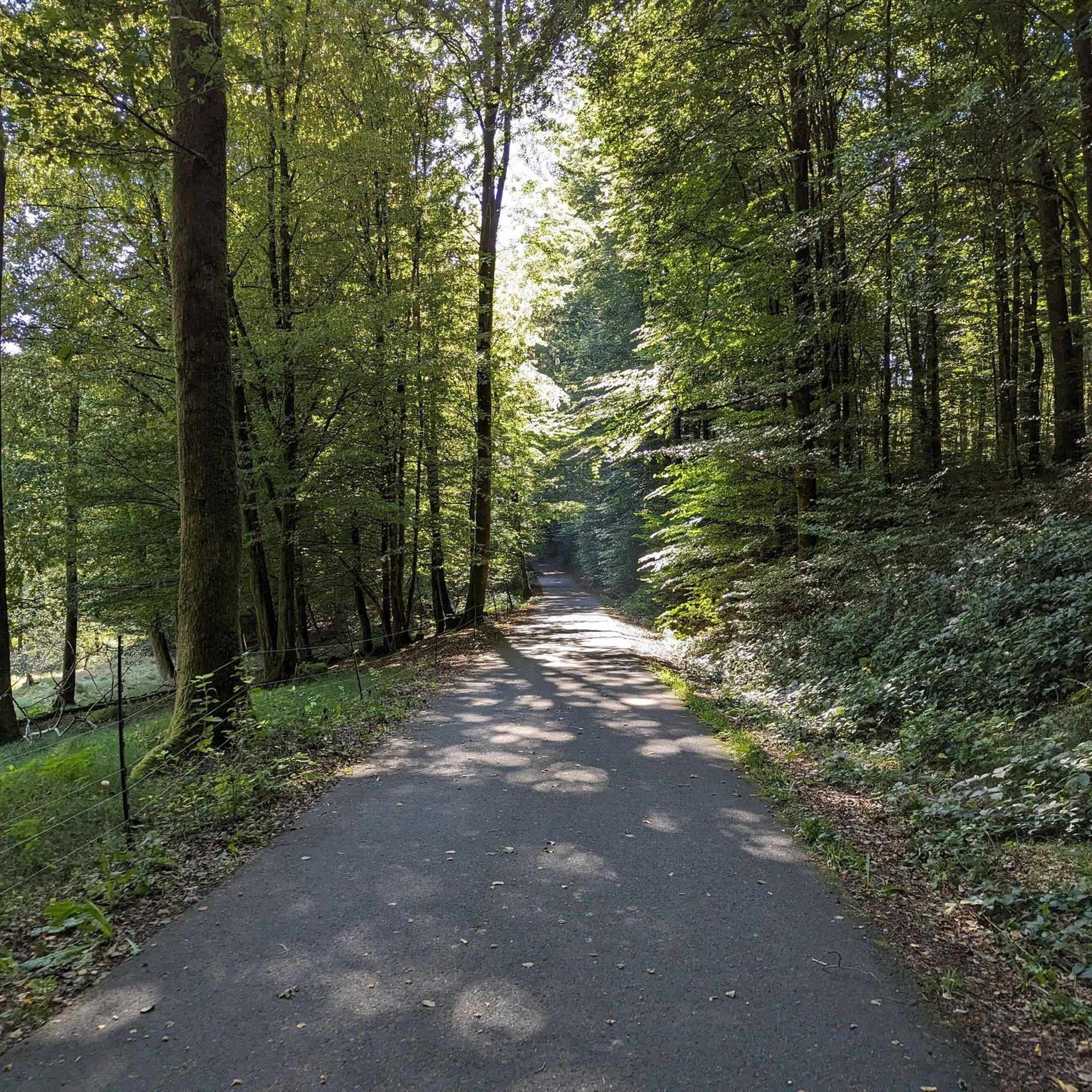
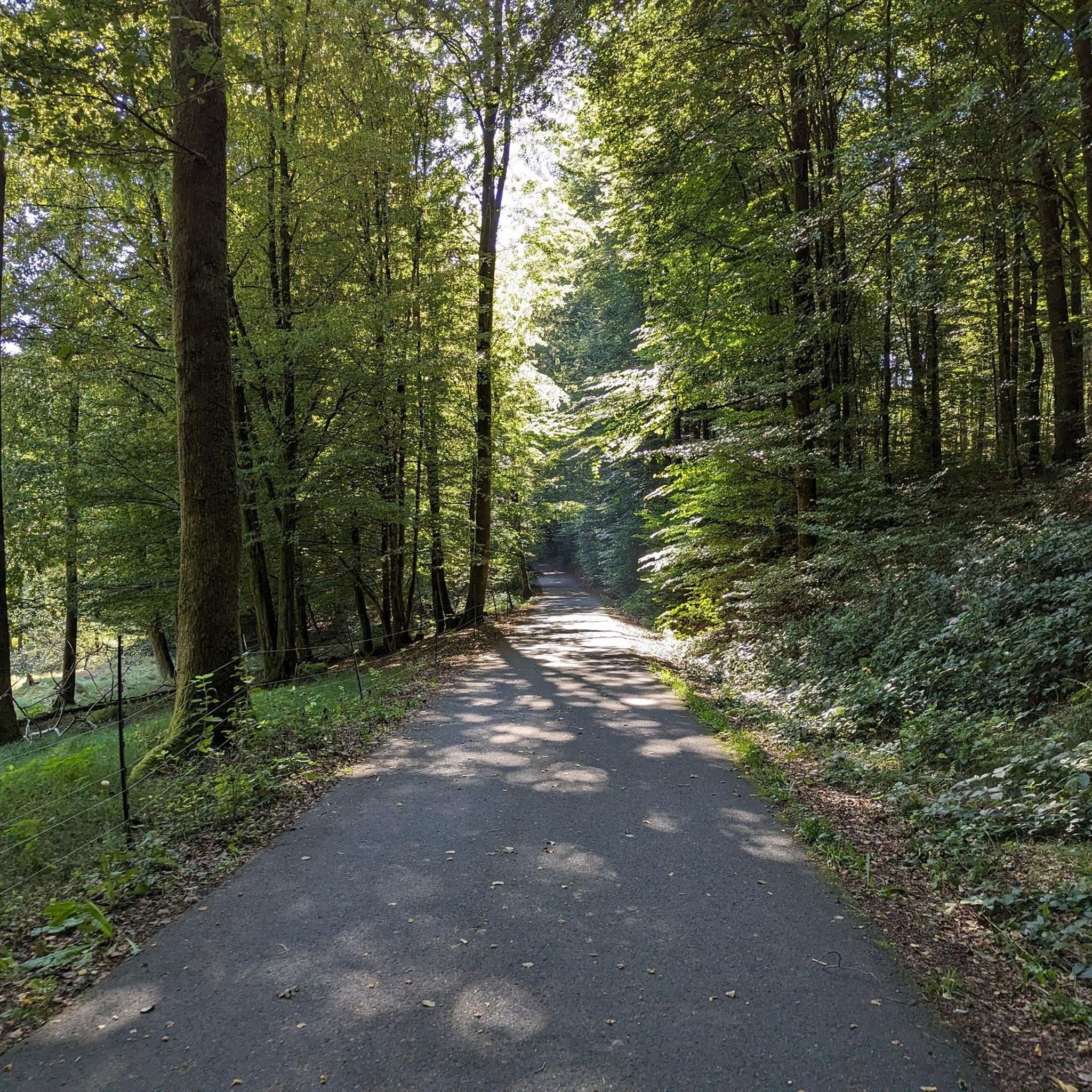
Hiking in Dicker Rohn offers a diverse network of trails through the Main-Spessart region. The area is characterized by dense woodlands, river valleys like the Rinderbachtal, and elevated viewpoints. Hikers can explore a landscape shaped by forests and rolling terrain, providing varied experiences from moderate walks to more challenging routes.
Best hiking trails in Dicker Rohn
- The most popular hiking route is Ski Hut Partenstein – Erichstollen Mine and Bunker loop from Partenstein, a 4.3 miles (7.0 km) trail…
Last updated: July 1, 2026
4.6
(20)
57
hikers
11.1km
03:08
230m
230m
Moderate hike. Good fitness required. Easily-accessible paths. Suitable for all skill levels.
4.5
(8)
23
hikers
19.6km
05:32
400m
400m
Hard hike. Very good fitness required. Easily-accessible paths. Suitable for all skill levels.

Sign up for free
4.3
(4)
29
hikers
7.00km
02:04
200m
200m
Moderate hike. Good fitness required. Easily-accessible paths. Suitable for all skill levels.
4.4
(5)
14
hikers
22.4km
06:32
570m
570m
Hard hike. Very good fitness required. Mostly accessible paths. Sure-footedness required.
4.7
(3)
15
hikers
19.8km
05:36
430m
430m
Hard hike. Very good fitness required. Easily-accessible paths. Suitable for all skill levels.
Get access to more routes and recommendations from other explorers.
Sign up for free
Already have an account?
Our route recommendations are based on thousands of hikes, rides, and runs completed by other people on komoot.
Start today with a free account
Your next adventure awaits.
Login or Signup
Tips from the Community

In Wiestal in the middle of the village.
0
0

From the museum, a cultural trail leads to the Marienschacht and Erichstollen.
0
0
The path up here, starting point at the train station, is interesting and thanks to the good information boards, much is explained well.
0
0
Quiet mine tunnels, Beautiful hiking trail.
0
0
It is always a pleasure to look at this place
1
0

small suspension bridge to cross the small stream
0
0

Website of the Frammersbach ski and hiking hut: https://tus-faustball.de/skihutte/die-hutte
3
0
The tunnel is in the middle of the forest.
0
0
Frequently Asked Questions
How many hiking trails are available in Dicker Rohn?
Dicker Rohn offers a vast network of over 950 hiking trails. This includes a wide range of options, from easy strolls to challenging full-day excursions, ensuring there's a suitable route for every hiker.
What kind of landscape can I expect when hiking in Dicker Rohn?
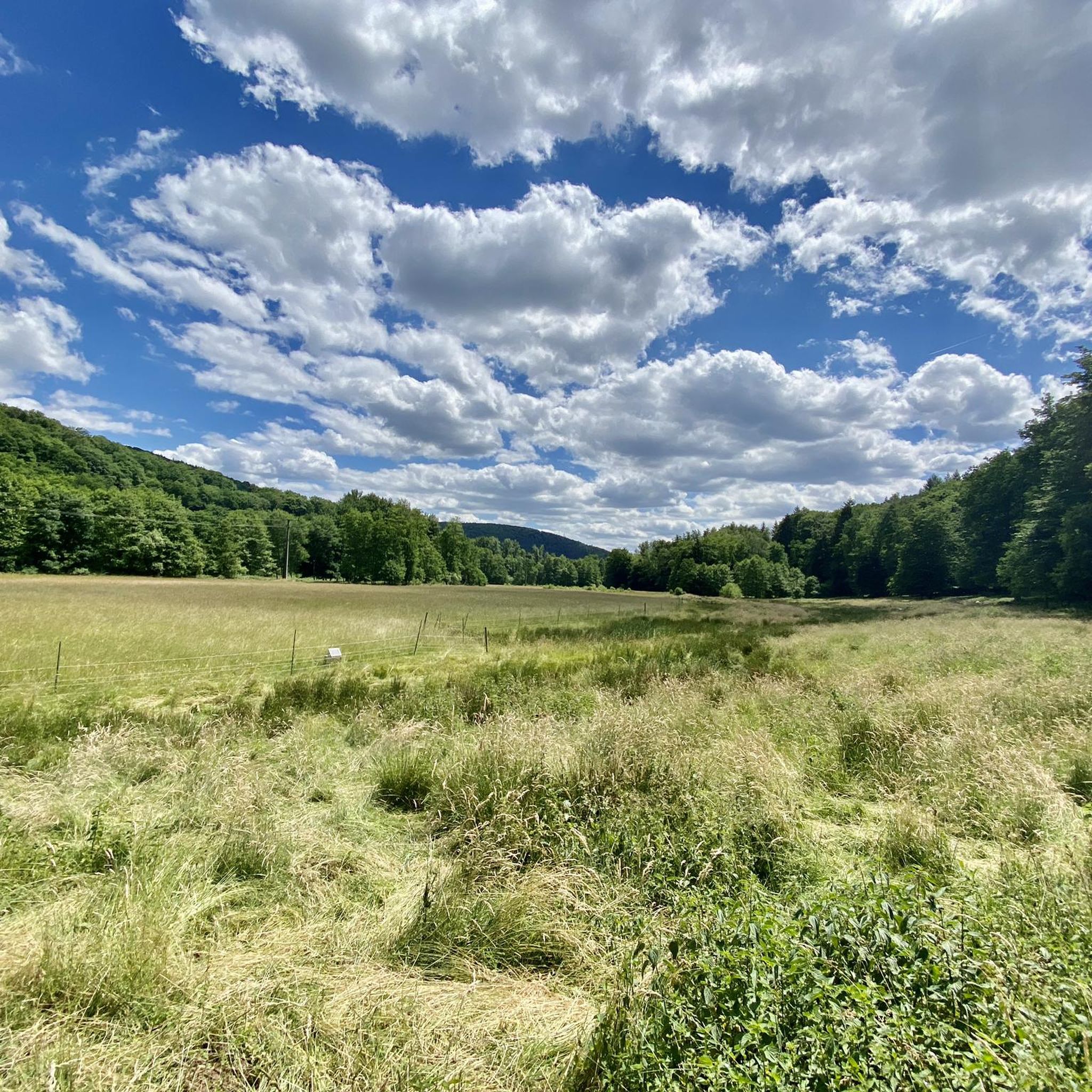
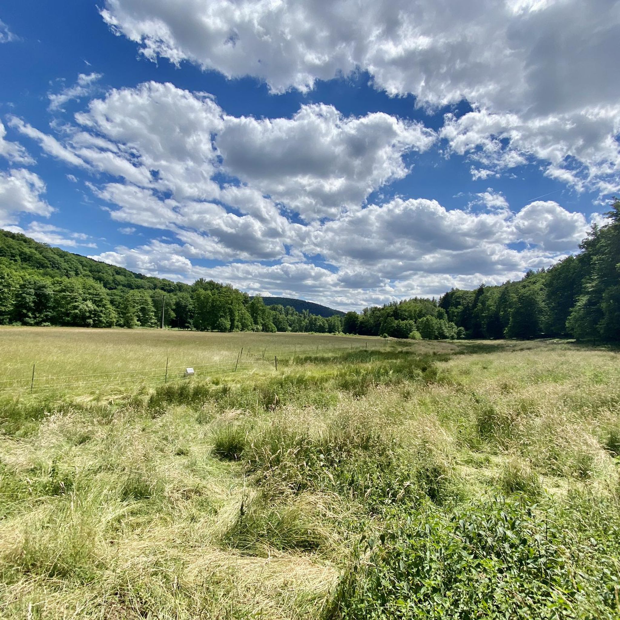
The landscape in Dicker Rohn is characterized by dense woodlands, rolling terrain, and picturesque river valleys such as the Rinderbachtal. You'll find a mix of shaded forest paths and elevated sections offering scenic views, typical of the Main-Spessart region.
What are the general difficulty levels of hikes in Dicker Rohn?
Dicker Rohn provides a good mix of difficulty levels. There are over 410 easy routes, more than 460 moderate trails, and about 75 difficult hikes. This variety allows hikers to choose paths that match their experience and fitness levels.
Are there any notable viewpoints in Dicker Rohn?
Yes, Dicker Rohn features several routes with rewarding viewpoints. For example, the Rinderbachtal Valley – View of the Lohr Valley loop from Partenstein offers expansive views over the Lohr Valley. Another route, View of Frammersbach – Cross Chapel, Frammersbach loop from Partenstein, also provides scenic vistas.
What interesting places can I explore along the hiking trails in Dicker Rohn?
Along the trails in Dicker Rohn, you can discover various points of interest. The Ski Hut Partenstein – Erichstollen Mine and Bunker loop from Partenstein explores historical mine and bunker sites. Other attractions in the wider area include the Schneewittchenweg Downhill Trail, the Klapper Hollow Way, and the Schanzkopf Hut.
Are there family-friendly hiking options in Dicker Rohn?
Absolutely. With over 410 easy routes, Dicker Rohn offers many suitable options for families. These trails are generally shorter and have less elevation gain, making them enjoyable for hikers of all ages and abilities.
Can I bring my dog on the hiking trails in Dicker Rohn?
Most hiking trails in Dicker Rohn, particularly those through forests and natural areas, are generally dog-friendly. However, it's always advisable to keep your dog on a leash, especially in wildlife-sensitive areas or near livestock, and to check for any specific local regulations.
Are there circular hiking routes in Dicker Rohn?
Yes, many of the trails in Dicker Rohn are designed as circular routes, allowing you to start and end at the same point. Examples include the Lohr River – View of Lohr over the Wöhrdwiesen loop from Lohr am Main and the Valentinus Chapel – View of Lohr am Main loop from Lohr am Main.
What are the typical durations for hikes in Dicker Rohn?
Hike durations in Dicker Rohn vary significantly. Shorter, easy routes like the Ski Hut Partenstein – Erichstollen Mine and Bunker loop from Partenstein can take around 2 hours. Longer, more challenging trails, such as the View of Frammersbach – Cross Chapel, Frammersbach loop from Partenstein, might require over 5 hours to complete.
What is the best season for hiking in Dicker Rohn?
The best seasons for hiking in Dicker Rohn are generally spring, summer, and autumn. Spring brings blooming flora, summer offers lush greenery, and autumn transforms the forests with vibrant colors. Each season provides a unique experience of the region's natural beauty.
Is winter hiking possible in Dicker Rohn?
Winter hiking in Dicker Rohn is possible, especially on cleared or well-trodden paths. The dense forests can offer a serene, snow-covered landscape. However, be prepared for colder temperatures, potentially icy conditions, and shorter daylight hours. Always check local weather forecasts before heading out.
What do other hikers say about the trails in Dicker Rohn?
The hiking trails in Dicker Rohn are highly regarded by the komoot community, boasting an average rating of 4.6 stars from over 4,300 reviews. Hikers frequently praise the well-maintained paths, the peaceful forest atmosphere, and the diverse scenery, from river valleys to elevated viewpoints.
Most popular routes in Dicker Rohn
Most popular attractions in Dicker Rohn

Get inspired with the komoot mobile app


Explore more
Browse the best Hikes in other regions.
