The best MTB trails in Rothenbucher Forst (Ost)
4.6
(2234)
5,713
riders
307
rides
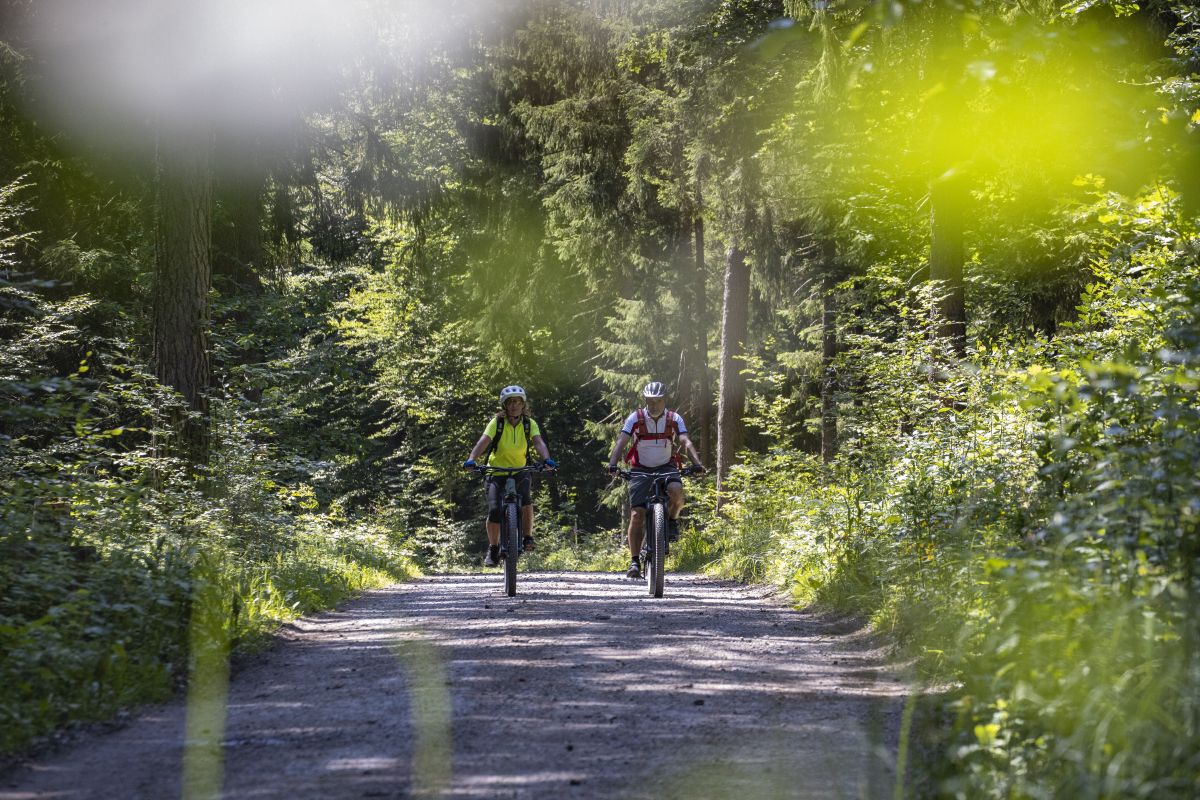
Mountain biking in Rothenbucher Forst (Ost) offers a diverse landscape within the Spessart region of Bavaria, Germany. The area is characterized by extensive, almost entirely wooded forests, providing a scenic backdrop for outdoor activities. Terrain includes varied elevation changes, with the highest point being the Hengstkopf at 506 meters, contributing to engaging and diverse biking experiences. Natural features like the Hafenlohrtal valley and Bomigsee forest lake add to the region's appeal.
Best mountain bike trails in Rothenbucher Forst (Ost)
- The…
Last updated: November 1, 2026
4.5
(11)
36
riders
60.5km
05:11
1,150m
1,150m
Hard mountain bike ride. Very good fitness required.
4.9
(118)
236
riders
29.2km
02:45
580m
570m
Moderate mountain bike ride. Good fitness required. Advanced riding skills necessary.

4.9
(16)
37
riders
21.6km
01:45
350m
350m
Moderate mountain bike ride. Good fitness required. Advanced riding skills necessary.
4.7
(7)
25
riders
31.1km
02:54
600m
600m
Moderate mountain bike ride. Good fitness required. Advanced riding skills necessary.
3.5
(2)
18
riders
76.4km
07:22
1,710m
1,710m
Hard mountain bike ride. Very good fitness required. Advanced riding skills necessary. Some portions of the route may require you to push your bike.
Get access to more routes and recommendations from other explorers.
Already have an account?
Our route recommendations are based on thousands of hikes, rides, and runs completed by other people on komoot.
Start today with a free account
Your next adventure awaits.
Other adventures in Rothenbucher Forst (Ost)

Tips from the Community

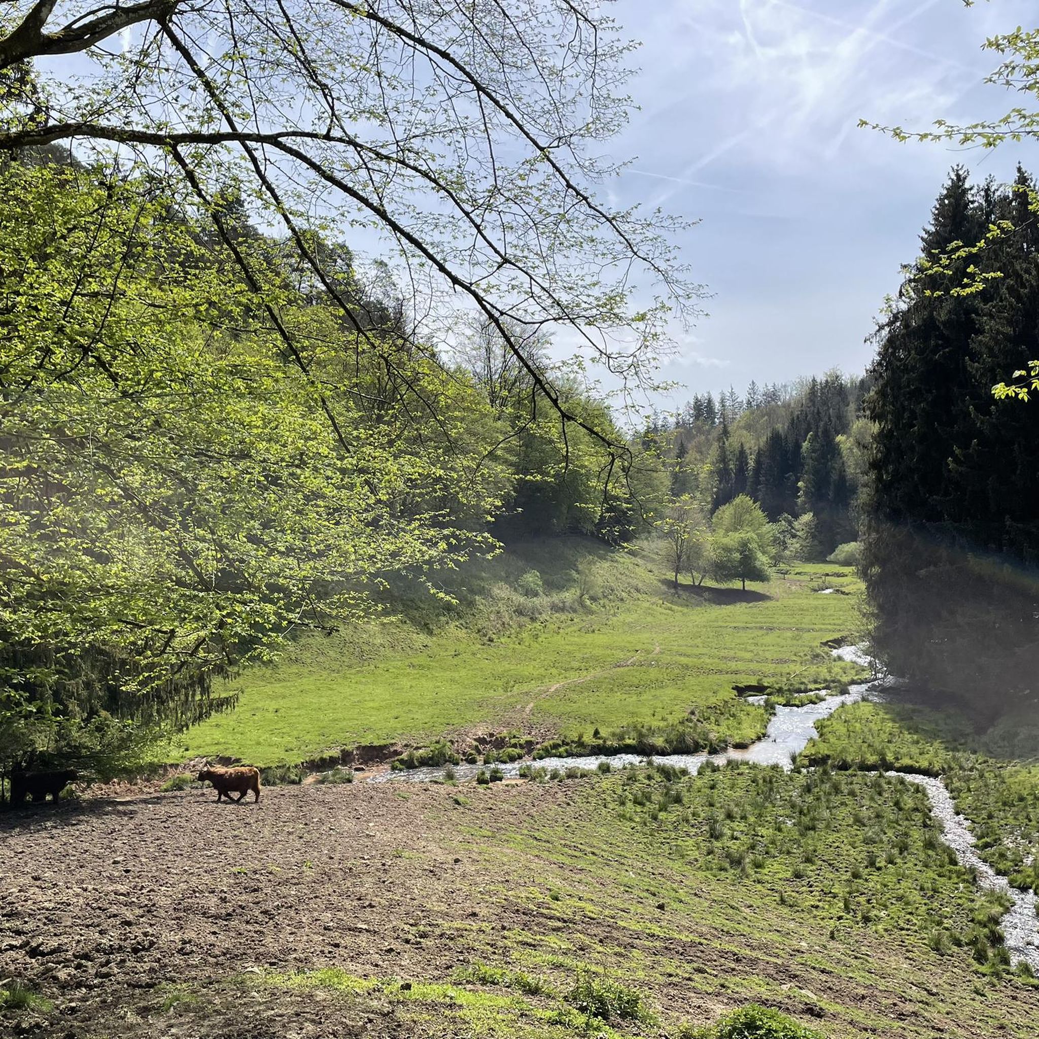
The Hafenlohr is a 26.5 km (27.7 km with Tiergartenbach) long, right tributary of the Main in the districts of Aschaffenburg and Main-Spessart in the Bavarian Spessart. The Hafenlohr originates from two springs in the municipality of Rothenbuch. The longer and at times more water-rich source is the Tiergartenbach, which often dries up on dry days. Officially, it is considered the upper course of the main water body of the Hafenlohr. The origin named Hafenlohrquelle in the middle of the village provides water almost all year round. The Hafenlohrquelle is located at Schloss Rothenbuch. It was channeled in sandstone during the widening of the road St 2317. Its water flows through the castle moat northwestward and flows into the bed of the Tiergartenbach about a hundred meters later from the left side, which flows from the Tiergartengrund on the northern edge of the village and is already 1.3 km long. It does not supply water all year round, but at times more than the also perennial spring at the castle. The spring at the castle was probably a meeting point for hunting in the eastern Spessart in the past, which is why the construction of a hunting lodge began here in 1342. The castle moat and some surrounding trout lakes, which no longer exist today, were fed with the emerging spring water. Source and further information: https://de.wikipedia.org/wiki/Hafenlohr_(Fluss)
1
0

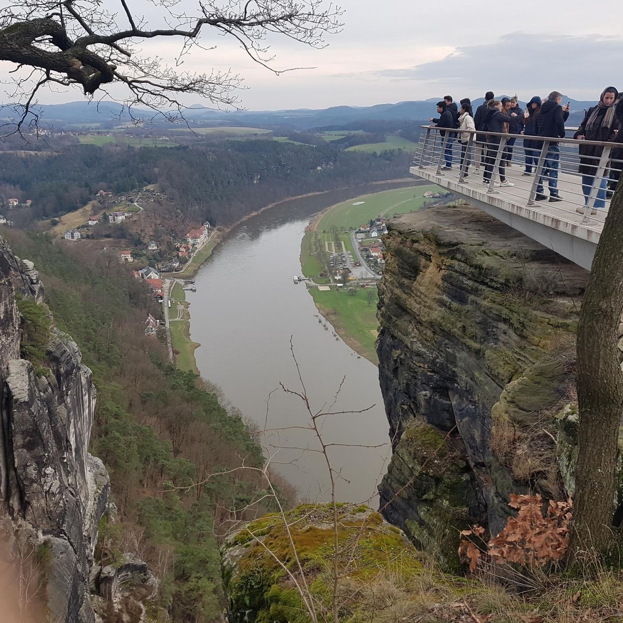
It is a beautiful view down onto Frammersbach.
1
0
It is an idyllic place.
0
0
An idyllically situated lake.
1
0
The Aubach is a small stream/river that meanders gently through the idyllic Aubach valley in its upper reaches. After more than 20 km, the Aubach flows into the Lohr,
2
0

Hasn't existed for a long time
1
0
The Hohen Knuck no longer exists. Otherwise, I would recommend it.
1
0
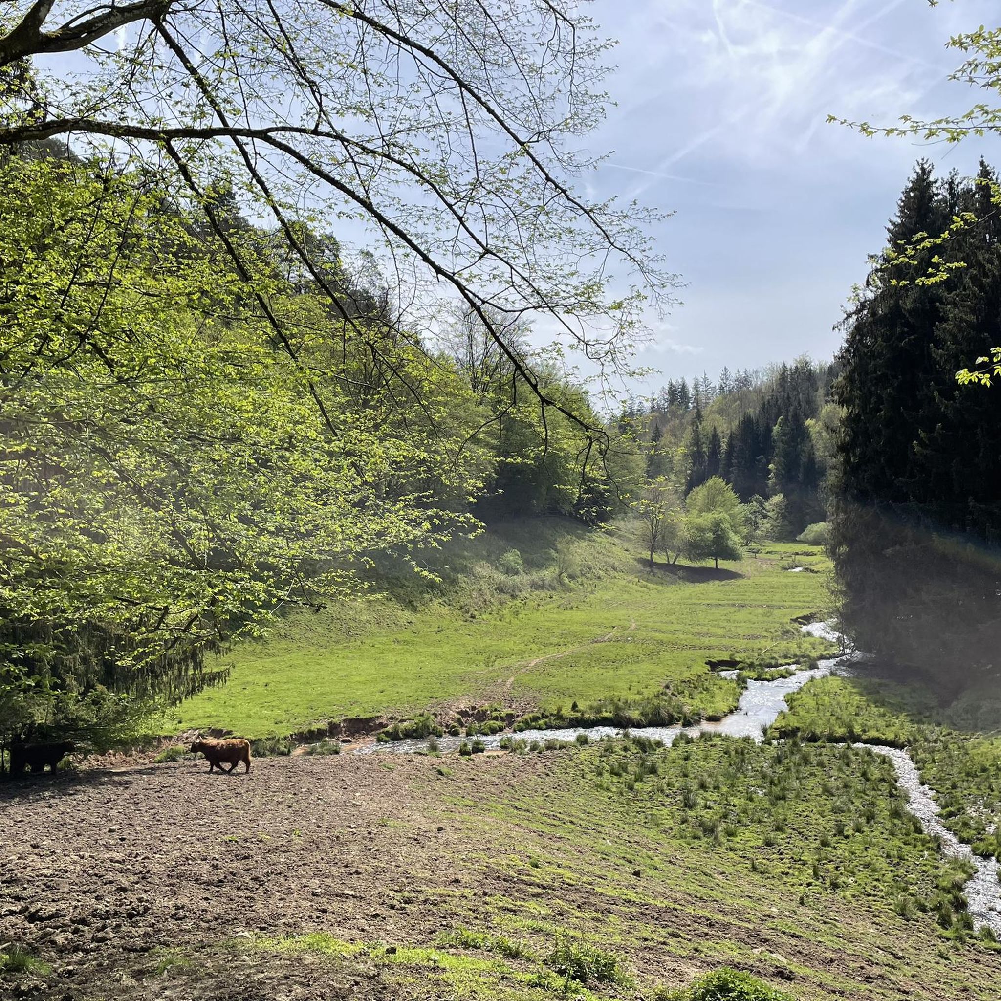
The Hafenlohrtal is wonderfully quiet. And so beautiful.
0
0
Frequently Asked Questions
How many mountain bike trails are available in Rothenbucher Forst (Ost)?
There are over 280 mountain bike trails in Rothenbucher Forst (Ost), offering a wide range of options for different skill levels. This includes approximately 50 easy routes, over 200 moderate trails, and more than 30 challenging paths.
What kind of terrain can I expect on the mountain bike trails in Rothenbucher Forst (Ost)?
The terrain in Rothenbucher Forst (Ost) is diverse, featuring extensive, almost entirely wooded forests. You'll encounter varied elevation changes, with the highest point being the Hengstkopf at 506 meters. Trails include both paved and unpaved segments, some of which can be challenging and require good fitness, while others are described as 'fun' and 'super flowing'.
Are there any family-friendly mountain bike routes in Rothenbucher Forst (Ost)?
Yes, Rothenbucher Forst (Ost) offers several easier routes suitable for families. While specific 'family-friendly' designations aren't always explicit, the region has approximately 50 easy trails that generally feature less demanding terrain and elevation, making them more accessible for riders of varying ages and abilities.
Are there any circular mountain bike routes in Rothenbucher Forst (Ost)?
Many of the mountain bike routes in Rothenbucher Forst (Ost) are designed as loops. For example, the View of Heimbuchenthal – Kutscher Höhle Trail loop from Weibersbrunn is a moderate 29.2 km circular path, and the Karlshöhe – Trail to Karlshöhe loop from Metzgergraben - Krone is a 44 km loop through varied forest landscapes.
What are some natural features or landmarks I can see along the mountain bike trails?
The region is rich in natural beauty and points of interest. You can explore the picturesque Hafenlohrtal valley, home to the Hafenlohr stream, or visit the tranquil Bomigsee, a charming forest lake and natural monument. Other notable natural features include the Steinknuck Oak and the Hafenlohr Valley. You might also encounter the Breitsee or the Young Dancing Tree.
Are there any historical or cultural attractions near the mountain bike routes?
Yes, beyond the natural landscapes, you can find historical attractions. While not directly on every trail, the picturesque Schloss Mespelbrunn, a moated castle dating back to 1427, is a significant cultural landmark in the broader Spessart region. You might also come across the Devotional cross on Rothenbucher Weg or the Steinmühle on the Weiberbach.
What do other mountain bikers enjoy most about the trails in Rothenbucher Forst (Ost)?
The mountain bike trails in Rothenbucher Forst (Ost) are highly rated by the komoot community, with an average score of 4.7 stars from over 1700 reviews. Riders frequently praise the extensive, varied forest landscapes, the engaging elevation changes, and the well-developed network of trails that cater to different skill levels.
Are there any challenging mountain bike routes for experienced riders?
Yes, experienced riders will find challenging options. For instance, the Bikewald Spessart - Route C in the district of Aschaffenburg Mitte is a difficult 60.5 km trail featuring significant elevation gain through the forest, taking over 5 hours to complete.
Are there places to eat or drink near the mountain bike trails?
While specific cafes directly on every trail are not listed, the region offers options. The Hohewart-Haus (Hohe Warte) is a rustic forest house known for its food, especially game dishes, and homemade 'Hohe-Wart-Bier', often serving as a starting or ending point for tours in the wider area.
What is the best time of year to go mountain biking in Rothenbucher Forst (Ost)?
The extensive forests of Rothenbucher Forst (Ost) make it an appealing destination for mountain biking across multiple seasons. Spring and autumn offer pleasant temperatures and vibrant foliage, while summer provides lush green scenery. Winter riding is possible, but trail conditions may vary with snow or ice, so checking local conditions is advisable.
Is there a moderate-difficulty route that includes a forest lake?
Yes, the Eichensee Rothenbuch – Bomigsee, Rothenbuch loop from Weibersbrunn is a moderate 21.6 km route that takes you past the Bomigsee, a charming forest lake and natural monument in the Hochspessart.
Are there any long-distance moderate mountain bike routes?
For a longer moderate ride, consider the Torhaus Breitfurt – Old Chapel in Einsiedel loop from Weibersbrunn. This route covers 54.4 km and offers varied forest landscapes, typically completed in about 3 hours 36 minutes.
Most popular routes in Rothenbucher Forst (Ost)
Most popular attractions in Rothenbucher Forst (Ost)

Get inspired with the komoot mobile app


Explore more
Browse the best MTB trails in other regions.
