The best running trails in Hohe Wart
4.4
(944)
12,741
runners
626
runs
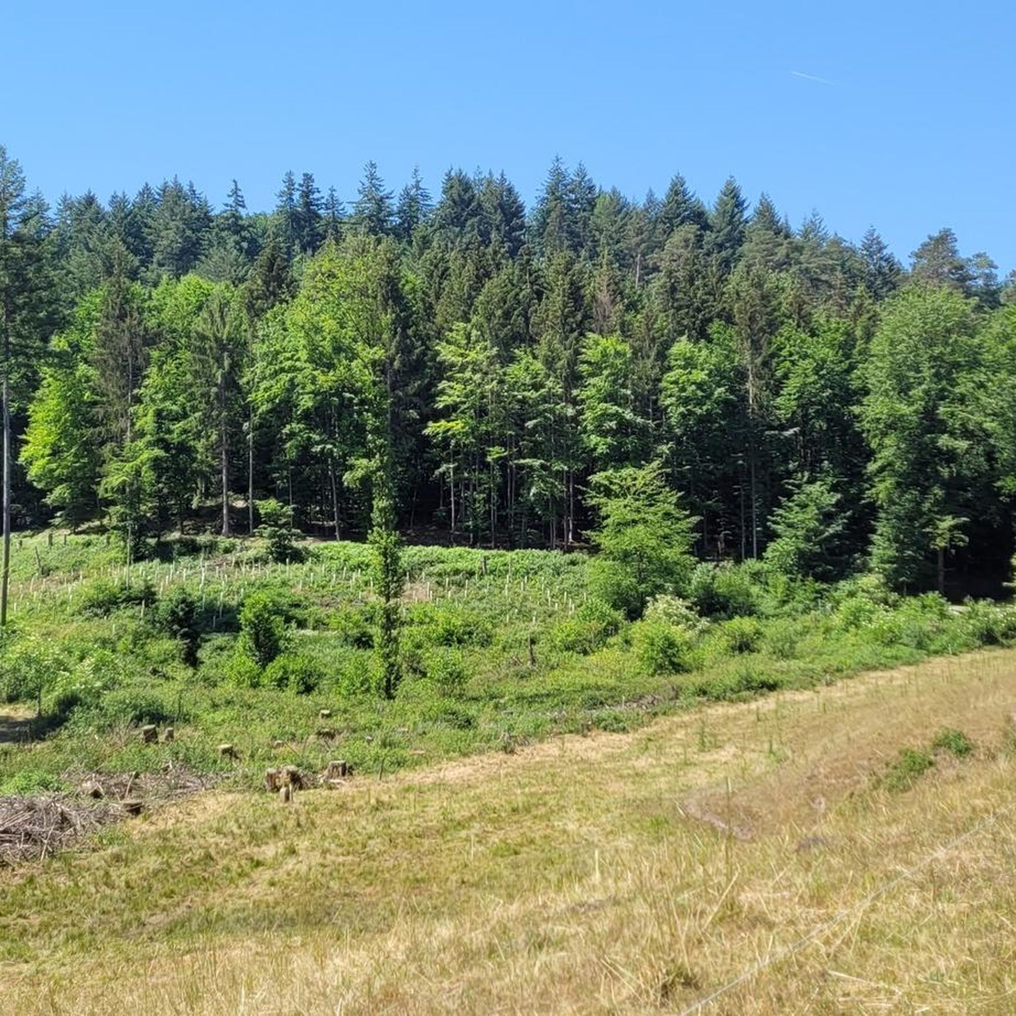
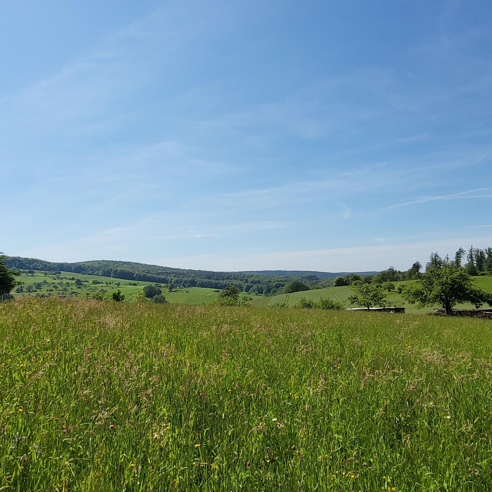
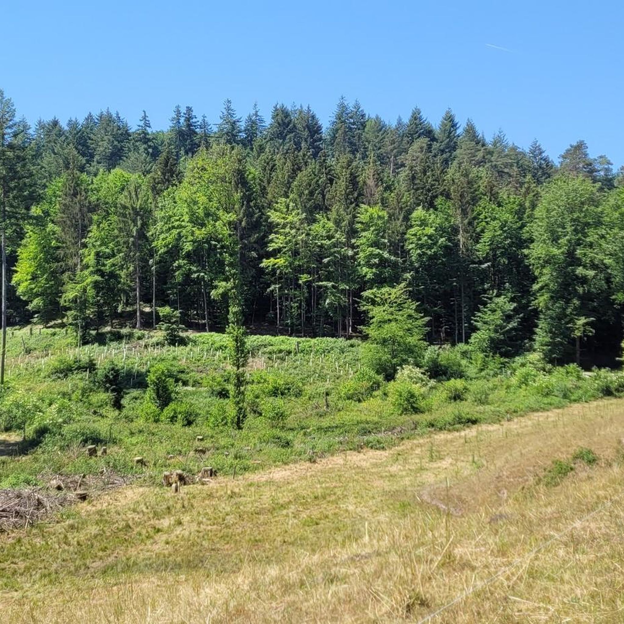
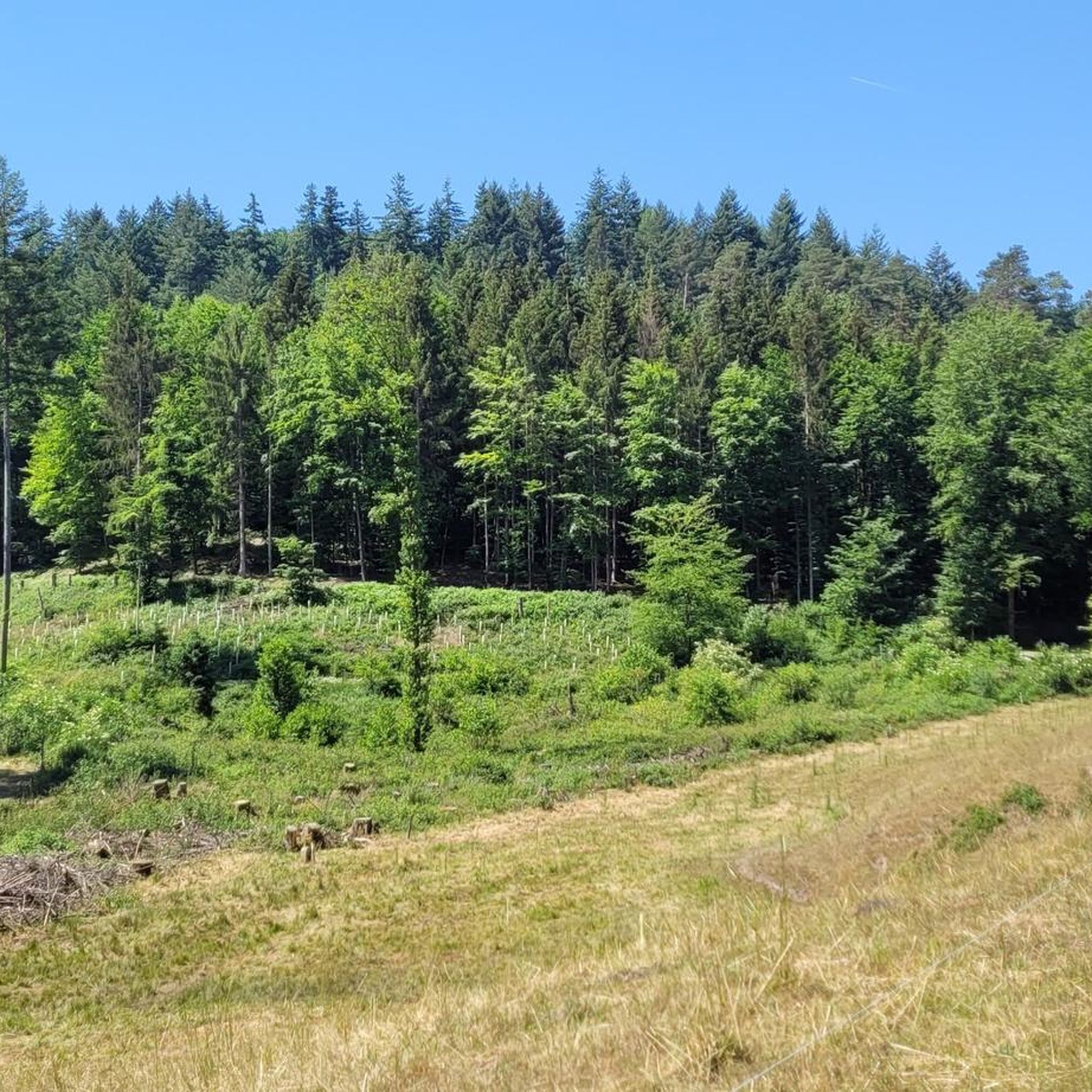
Jogging routes in Hohe Wart traverse a largely forested upland on the southwestern fringe of the Fichtel Mountains in northern Bavaria. This region is characterized by extensive forests and a series of hills, offering varied terrain for runners. Almost the entire area is designated as a protected landscape, providing a pristine environment for outdoor activities. The undulating landscape includes notable peaks like the Hirschberg (493 m) and Hohe Wart (463 m), providing both challenging ascents and gentler paths.
Best jogging…
Last updated: October 4, 2026
15
runners
21.1km
02:22
360m
360m
Hard run. Very good fitness required. Mostly paved surfaces. Suitable for all skill levels.
4.8
(4)
13
runners
10.7km
01:11
160m
160m
Moderate run. Good fitness required. Mostly paved surfaces. Suitable for all skill levels.

5.0
(2)
53
runners
9.27km
01:04
190m
190m
Moderate run. Good fitness required. Mostly paved surfaces. Suitable for all skill levels.
4.8
(4)
35
runners
7.75km
00:51
140m
140m
Moderate run. Good fitness required. Mostly paved surfaces. Suitable for all skill levels.
4.8
(5)
30
runners
Moderate run. Good fitness required. Mostly paved surfaces. Suitable for all skill levels.
Get access to more routes and recommendations from other explorers.
Already have an account?
Our route recommendations are based on thousands of hikes, rides, and runs completed by other people on komoot.
Start today with a free account
Your next adventure awaits.
Tips from the Community

Great hut, great view
0
0

Simple hut that can be a very welcome shelter when it suddenly starts to rain 🛖⛈
2
0

In front of the complex: Altenburg there are quite a few "sandstone heads" lying around on the way...😆😂
0
0
Beautiful shelter on the hiking trail with a small seating area next to the hut.
1
0

A good starting point for many hikes in different directions.
3
0
Good place to rest in the dry. Even with a little play option in the form of a cone thrower
3
0

Beautiful hut, invites you to take a rest.
4
0

Frequently Asked Questions
How many running trails are available in Hohe Wart?
Hohe Wart offers a wide selection of running routes, with over 600 trails available for you to explore. This includes a variety of options ranging from easy to difficult, ensuring there's a suitable path for every runner.
What kind of terrain can I expect on the jogging routes in Hohe Wart?
The jogging routes in Hohe Wart are characterized by extensive forests and varied hilly terrain. You'll find both challenging ascents and gentler paths, with surfaces ranging from well-maintained trails to softer ground, such as the "Rainchen Hollow Way" which is known for its natural, soft surface. The region is part of the Fichtel Mountains, offering a diverse and engaging running experience.
Are there running routes suitable for beginners or those looking for an easier run?
Yes, Hohe Wart has options for all fitness levels. While many routes offer significant elevation, there are 72 easy and 448 moderate running trails available. These provide a less strenuous experience while still allowing you to enjoy the beautiful forested landscape. For a moderate option, consider the Julius-Echter-Weg Wespelbrunn loop from Mespelbrunn, which is 7.7 km long.
What natural features or landmarks can I see while running in Hohe Wart?
Hohe Wart's routes offer scenic views and interesting landmarks. You can encounter the Victory Tower on the Hohe Wart peak, offering panoramic views. The area is also home to several lakes and streams, such as the Eisbachsee and Hirschbach. Additionally, you might pass by the Hohewart-Haus (Hohe Warte), the Weißes Bild wayside shrine, or explore the unique Rainchen Hollow Way.
Are there any circular running routes in Hohe Wart?
Yes, many of the running routes in Hohe Wart are circular, allowing you to start and end at the same point. An example of a moderate loop is the Hohe Wart loop from Hohe Wart, which covers 7.8 km. For a longer, more challenging circular run, the Lady of the Mountains Chapel – Heimathenhof Chapel loop from Heimbuchenthal is an excellent choice.
What do other runners say about the trails in Hohe Wart?
The running trails in Hohe Wart are highly regarded by the komoot community, with an impressive average rating of 4.5 stars from over 650 reviews. More than 11,000 runners have used komoot to explore this region, often praising the pristine, protected landscapes, varied terrain, and extensive forest paths that provide a refreshing outdoor experience.
Is Hohe Wart a protected natural area?
Yes, almost the entire area of Hohe Wart is designated as a protected landscape. This ensures the preservation of its natural beauty and tranquility, offering a pristine environment for outdoor activities like running, free from excessive development. It's known as the "Gateway to the Bavarian Northern Forests" due to its significant natural setting.
Are there any specific trails that offer good viewpoints for runners?
While running in Hohe Wart, you'll encounter several spots with rewarding views. The Victory Tower on the Hohe Wart peak (463 m) is a prominent landmark that offers panoramic vistas of the surrounding forested uplands. Many of the higher elevation trails naturally provide glimpses over the landscape, especially during less dense foliage seasons.
What are the options for parking near the running routes in Hohe Wart?
While specific parking locations aren't detailed for every route, Hohe Wart is a popular outdoor destination, and you can generally find parking facilities near trailheads and popular starting points, especially in and around the villages bordering the protected landscape. It's advisable to check the starting points of individual routes on komoot for more precise parking information.
Can I find longer, more challenging running routes in Hohe Wart?
Absolutely. Hohe Wart is well-suited for runners seeking a challenge, with 92 difficult routes available. These trails often feature significant elevation gains and longer distances. A prime example is the Schwansee Pond – Hohewart-Haus (Hohe Warte) loop from Hohe Wart, a demanding 21.1 km route with substantial elevation through varied forest landscapes.
Are there any trails that are particularly good for a quick, scenic run?
For a quicker, scenic run, the moderate Hohe Wart loop from Hohe Wart is an excellent choice. This 7.8 km path provides a beautiful circuit around the Hohe Wart area, perfect for a refreshing jog without committing to a very long distance. Another moderate option is the Schwansee Pond – View of Naturpark Spessart loop from Heimbuchenthal, which is 7.9 km.
Most popular routes in Hohe Wart
Most popular attractions in Hohe Wart

Get inspired with the komoot mobile app


Explore more
Browse the best Running Trails & Routes in other regions.
