The best MTB trails in Geisaer Stadtwald
4.6
(677)
1,623
riders
261
rides
Mountain biking in Geisaer Stadtwald offers a network of trails through dense forests and rolling hills within the Wartburgkreis region. The area is characterized by varied terrain, including ascents and descents, providing diverse options for mountain bikers. The landscape features natural woodlands and open sections, typical of a central German forest environment.
Best mountain bike trails in Geisaer Stadtwald
- The most popular mountain bike trail is Martinrodaer Hut – Pond by the Ulster Cycle Path loop from Otzbach, a…
Last updated: October 8, 2026
4.8
(5)
11
riders
27.7km
02:00
410m
410m
Moderate mountain bike ride. Good fitness required. Suitable for all skill levels.
4.3
(6)
10
riders
15.8km
00:55
130m
130m
Moderate mountain bike ride. Great for any fitness level. Advanced riding skills necessary.

5.0
(2)
4
riders
17.5km
01:25
340m
340m
Moderate mountain bike ride. Good fitness required. Advanced riding skills necessary.
5.0
(1)
7
riders
25.4km
01:59
510m
510m
Moderate mountain bike ride. Good fitness required. Suitable for all skill levels.
5.0
(2)
10
riders
Moderate mountain bike ride. Good fitness required. Suitable for all skill levels.
Get access to more routes and recommendations from other explorers.
Already have an account?
Our route recommendations are based on thousands of hikes, rides, and runs completed by other people on komoot.
Start today with a free account
Your next adventure awaits.
Tips from the Community

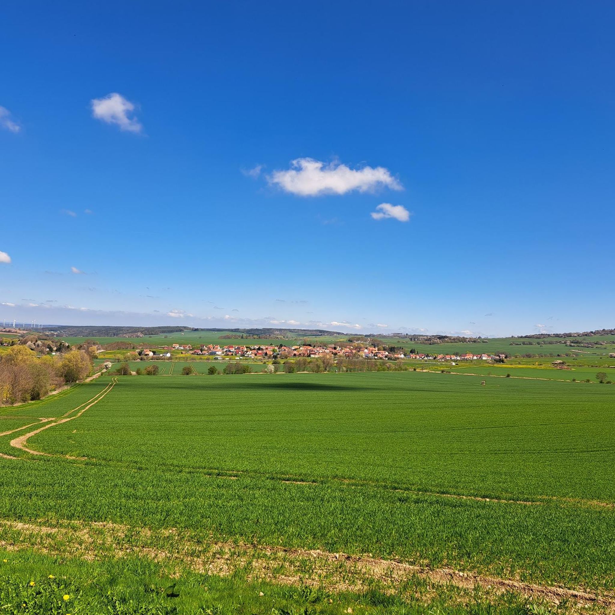
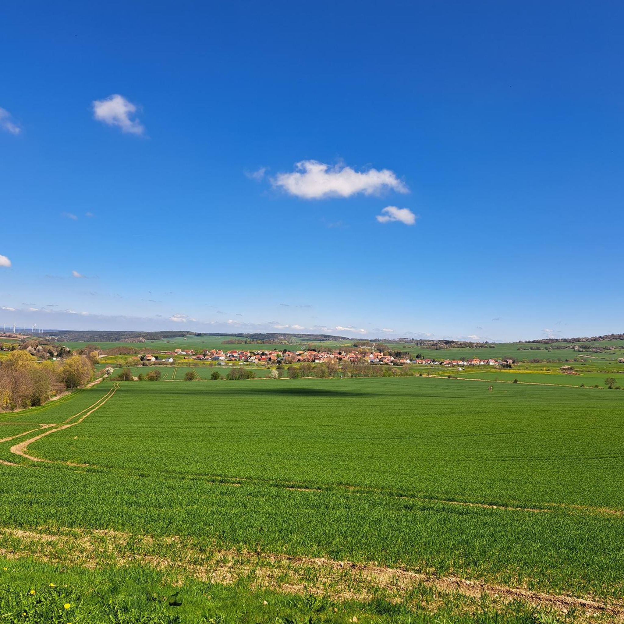
First, it goes through the forest. You don't expect anything bad and suddenly the view opens up over idyllic villages, mountains, and distant neighboring mountain ranges like the Knüll, for example. Surprise successful.
0
0

Beautiful observation point overlooking Monte Kali
0
0
Beautiful to cycle through, with many viewpoints offering glimpses into the wildlife.
0
0

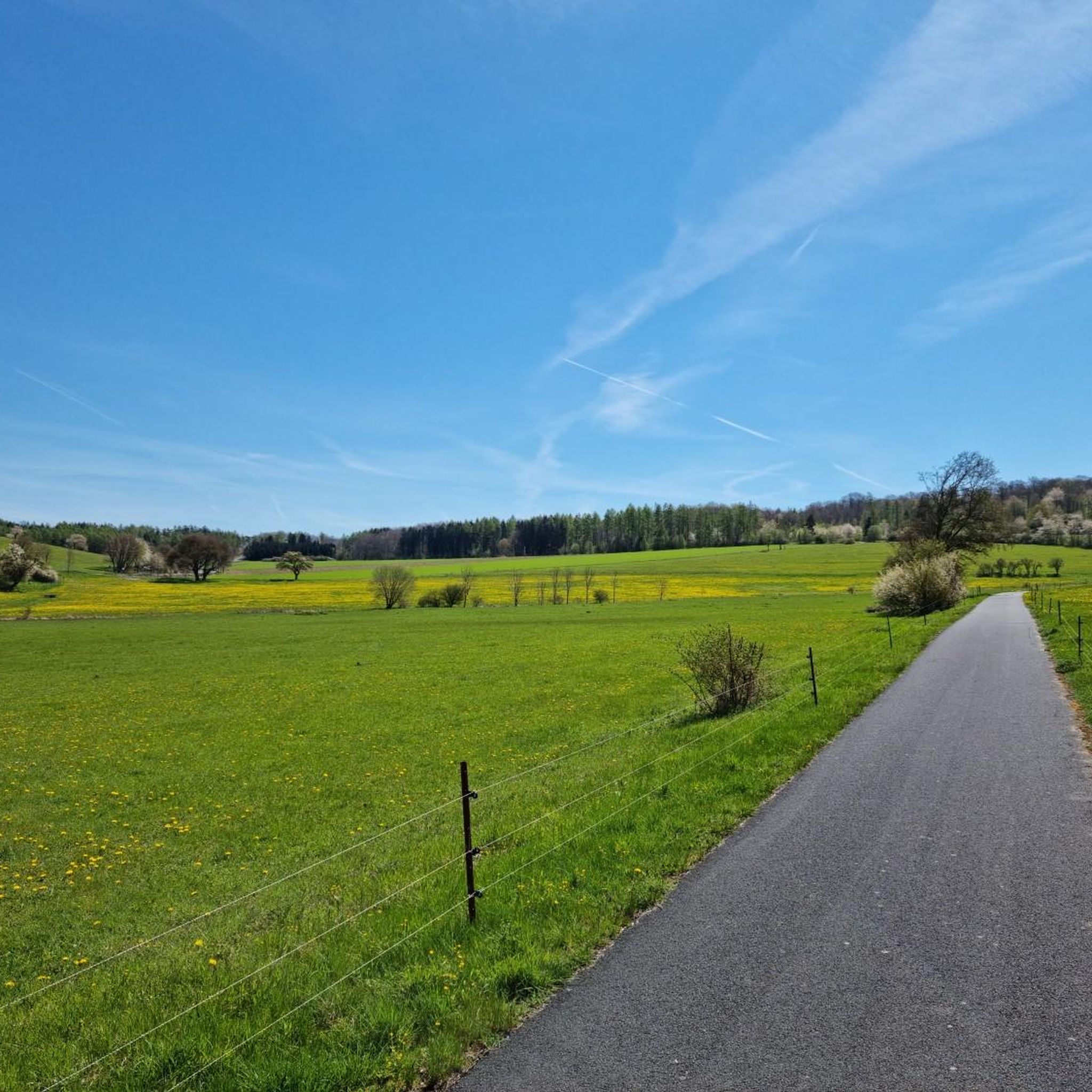
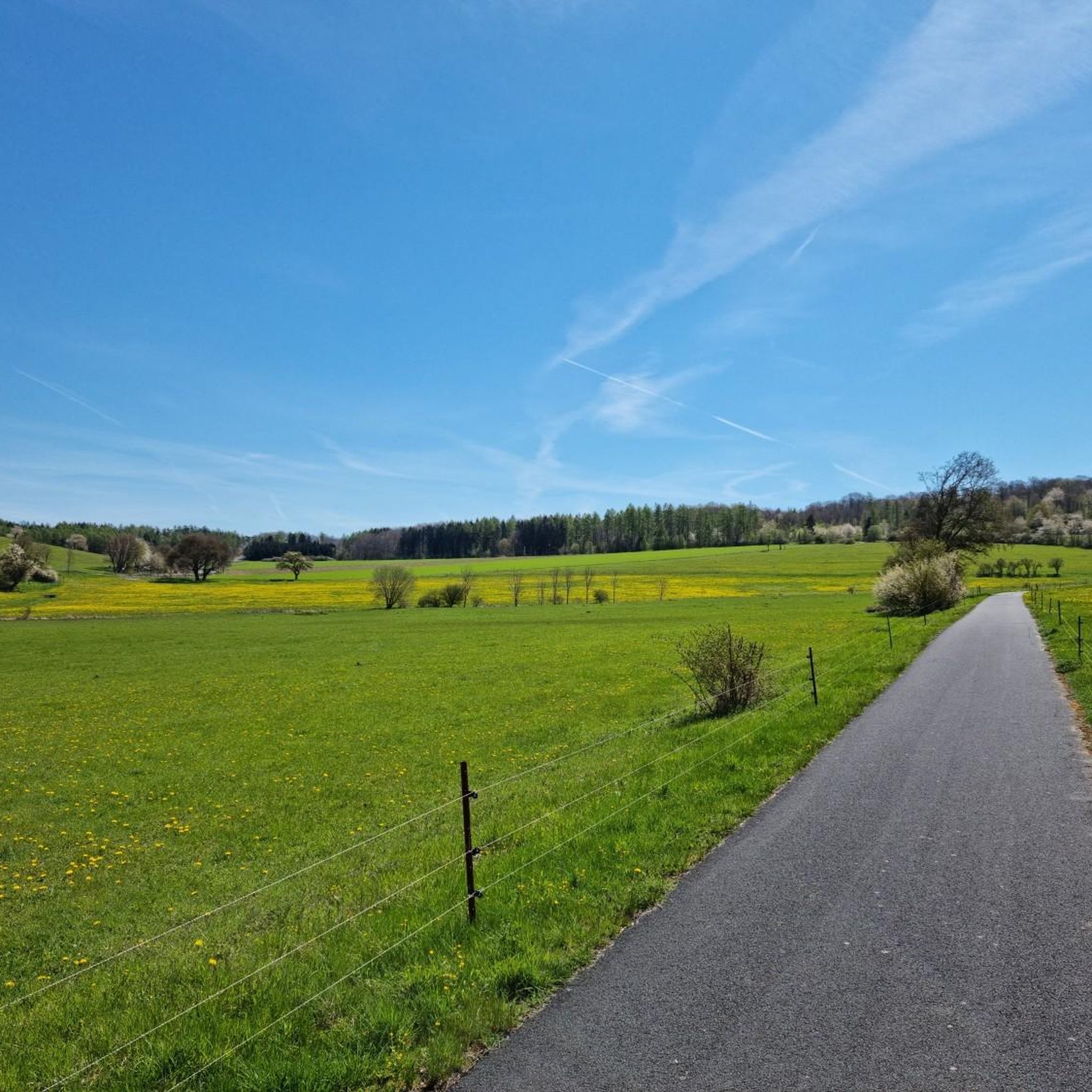
Ulstertal cycle path between Schleid and Motzlar, here asphalted
0
0


The Baietshof is a historic half-timbered building with a very well-kept outdoor area.
0
0

Beautiful view of Dermbach.
0
0

Frequently Asked Questions
How many mountain bike trails are available in Geisaer Stadtwald?
Geisaer Stadtwald offers a comprehensive network of nearly 300 mountain bike trails. These routes traverse dense forests and rolling hills, providing diverse options for riders of all levels.
What is the best season for mountain biking in Geisaer Stadtwald?
The best seasons for mountain biking in Geisaer Stadtwald are typically spring, summer, and autumn. During these times, the weather is generally favorable, and the forest trails are in good condition. While winter riding is possible, be prepared for potentially muddy or icy conditions, especially on shaded paths.
Are there family-friendly mountain bike trails in Geisaer Stadtwald?
Yes, Geisaer Stadtwald has a good selection of routes suitable for families. There are 43 easy mountain bike trails that are generally less demanding, making them ideal for riders with children or those looking for a relaxed outing. These trails often feature smoother paths and gentler gradients.
Where can I find beginner-friendly mountain bike routes?
Beginners will find a variety of suitable routes among the 43 easy trails in Geisaer Stadtwald. These paths are designed to be less challenging, allowing new riders to enjoy the forest environment without excessive difficulty. Look for routes with minimal elevation changes and well-maintained surfaces.
Are there challenging mountain bike trails for advanced riders?
Absolutely. For advanced mountain bikers seeking a challenge, Geisaer Stadtwald features 38 difficult trails. These routes often include steeper ascents and descents, more technical sections, and longer distances, such as the Roßbergkanzel Viewpoint – Breakfast spot by the beeches loop from Schleid, which covers 45.0 km with significant elevation gain.
Are there any circular mountain bike routes in Geisaer Stadtwald?
Yes, many of the mountain bike trails in Geisaer Stadtwald are designed as circular routes, allowing you to start and finish at the same point. Examples include the popular Martinrodaer Hut – Pond by the Ulster Cycle Path loop from Otzbach and the scenic Emberghütte Viewpoint – View of the Inselberg loop from Otzbach.
What kind of viewpoints can I expect along the mountain bike trails?
Geisaer Stadtwald offers several scenic viewpoints along its trails. For instance, the Emberghütte Viewpoint – View of the Inselberg loop from Otzbach provides vistas towards the Inselberg. Another route, Jägerhütte near Kranlucken – Roßbergkanzel Viewpoint loop from Bremen, leads to the Roßbergkanzel Viewpoint, offering expansive views over the forested landscape.
What can I see along the mountain bike trails in Geisaer Stadtwald?
Beyond the natural beauty of the forests and hills, you can discover several interesting points of interest. These include unique local highlights like the Gnome Loo Stamp Station 290 and the Gnome in the Outhouse on the Guck- und Putschelweg Schleid. You might also encounter the Photo Wall Family Hiking Trail Trollish Greetings or the historic St. Sebastianus Catholic Church, Zitters.
What do other mountain bikers enjoy most about Geisaer Stadtwald?
The mountain bike trails in Geisaer Stadtwald are highly rated by the komoot community, with an average score of 4.6 stars from over 500 reviews. Riders frequently praise the varied terrain, which includes both challenging ascents and enjoyable descents, as well as the peaceful atmosphere of the dense woodlands and the scenic viewpoints like those found on the View of Spahl – View of the Rhön Mountains loop from Motzlar.
Is there parking available near the mountain bike trails?
While specific parking areas are not detailed for every trail, Geisaer Stadtwald is a well-established recreational area. You can typically find designated parking spaces at trailheads or in nearby villages such as Otzbach, Bremen, Motzlar, or Schleid, which serve as starting points for many routes.
Most popular routes in Geisaer Stadtwald
Most popular attractions in Geisaer Stadtwald

Get inspired with the komoot mobile app


Explore more
Browse the best MTB trails in other regions.
