The best walks and hikes in Dühlholz
4.5
(5511)
22,693
hikers
682
hikes
Hiking in Dühlholz offers a network of trails primarily situated within a forest in Landkreis Schaumburg. The terrain is generally flat, with minimal elevation changes, making it accessible for various activity levels. Many routes feature paths alongside the Mittelland Canal, providing open views and waterside walking opportunities. The area is characterized by its woodlands and agricultural surroundings.
Best hiking trails in Dühlholz
- The most popular hiking route is Mittelland Canal Bridge loop from Auhagen, a 3.3 miles (5.4 km)…
Last updated: July 4, 2026
4.9
(7)
25
hikers
5.38km
01:22
10m
10m
Easy hike. Great for any fitness level. Easily-accessible paths. Suitable for all skill levels.
5.0
(1)
13
hikers
4.32km
01:05
10m
10m
Easy hike. Great for any fitness level. Easily-accessible paths. Suitable for all skill levels.

Sign up for free
5.0
(1)
8
hikers
3.69km
00:56
10m
10m
Easy hike. Great for any fitness level. Easily-accessible paths. Suitable for all skill levels.
5.0
(2)
10
hikers
Easy hike. Great for any fitness level. Easily-accessible paths. Suitable for all skill levels.
5.0
(1)
8
hikers
12.7km
03:13
10m
10m
Moderate hike. Good fitness required. Easily-accessible paths. Suitable for all skill levels.
Get access to more routes and recommendations from other explorers.
Sign up for free
Already have an account?
Our route recommendations are based on thousands of hikes, rides, and runs completed by other people on komoot.
Start today with a free account
Your next adventure awaits.
Login or Signup
Tips from the Community

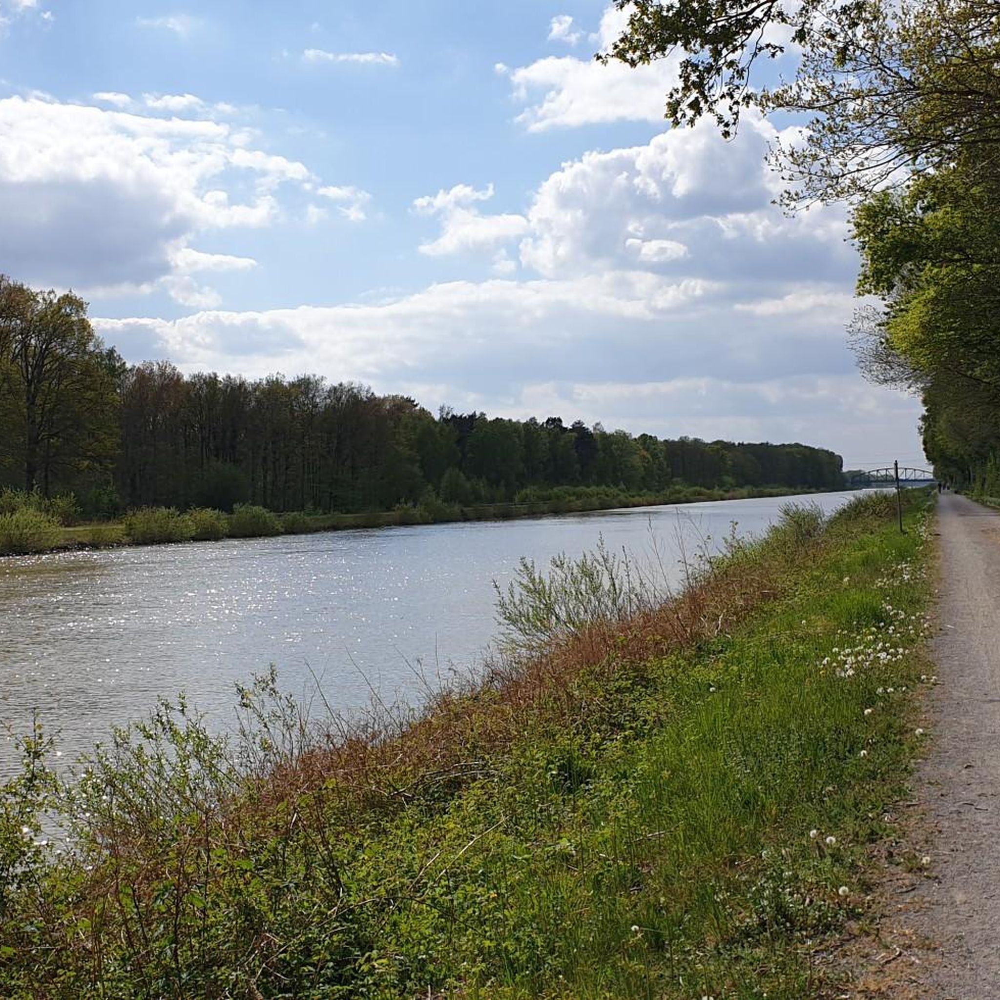
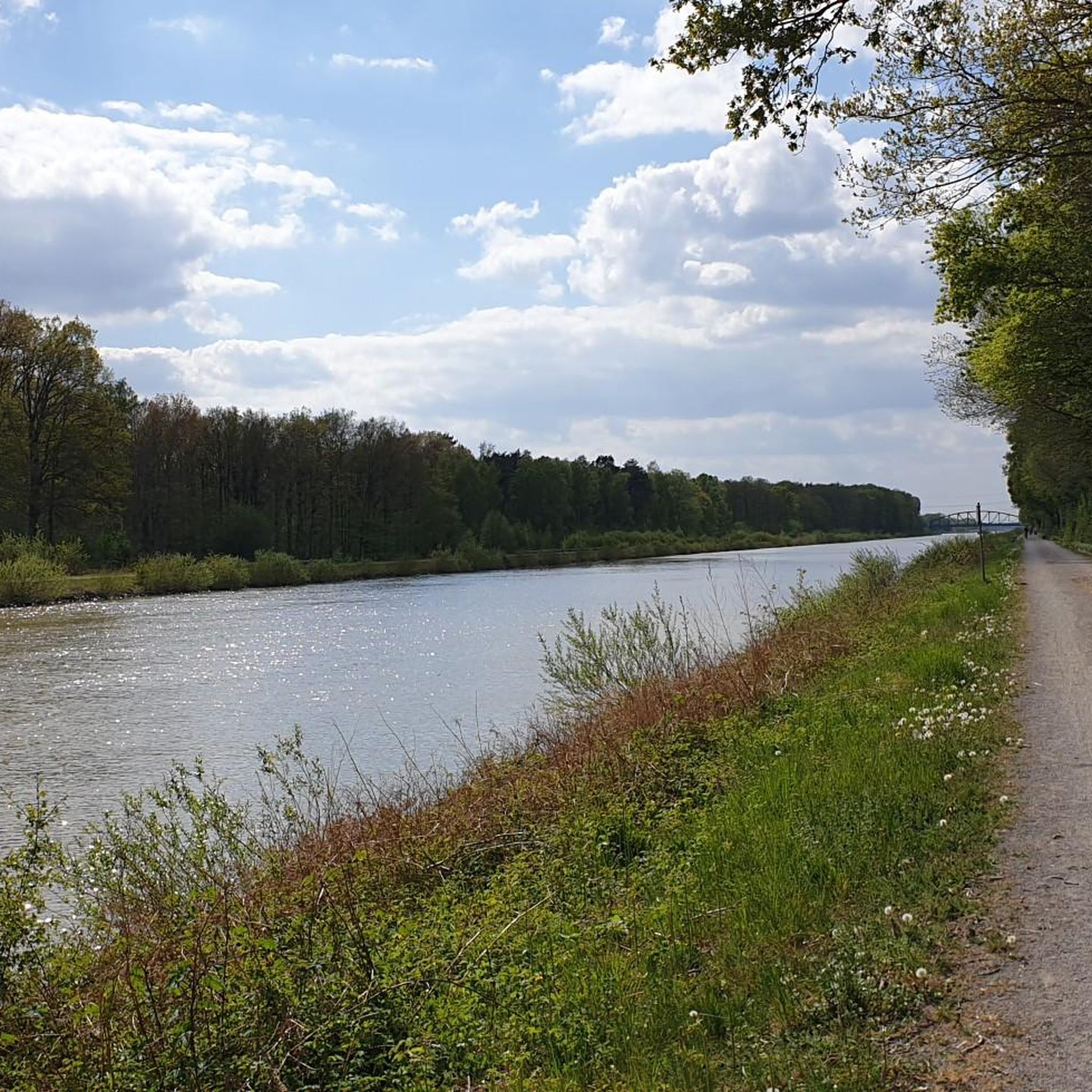
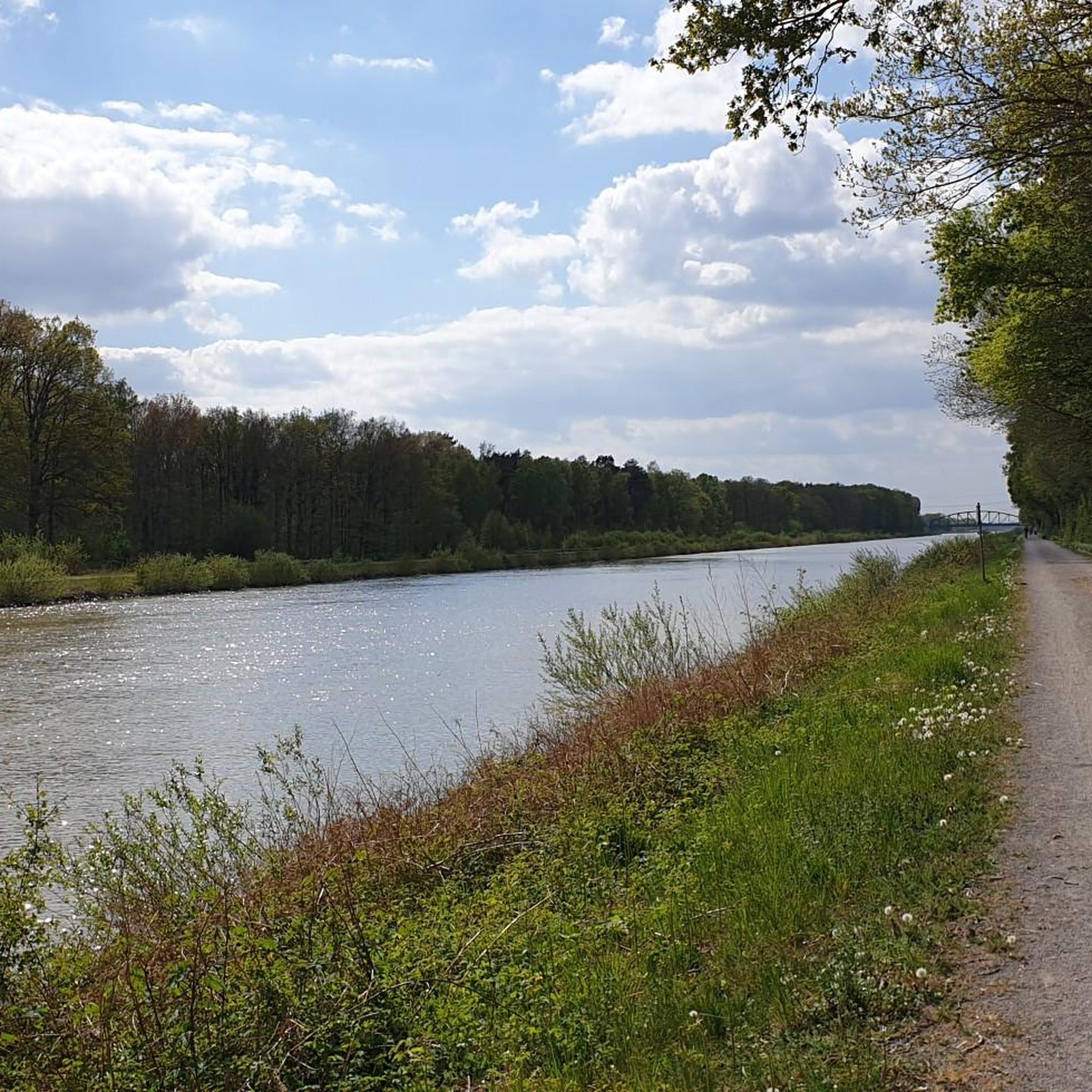
Mittellandkanal in the Hanover region. Nice route along the canal, unfortunately the view is somewhat restricted by the grass.
1
0

beautiful cycle route along the Mittelland Canal
3
0

There are few seats along the canal, here is one of them.
0
0

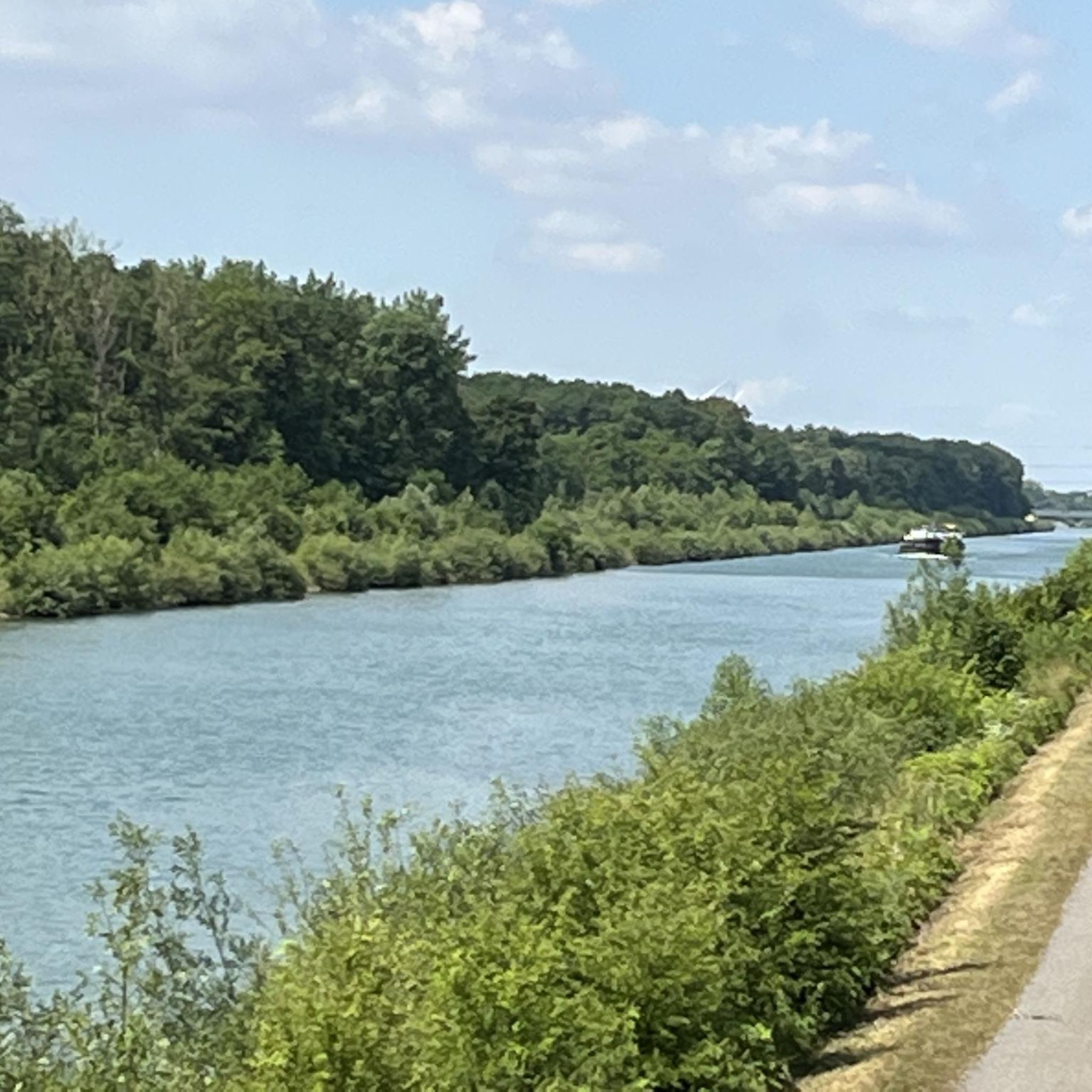
It's always nice on the Mittelland Canal
4
0

The Mittelland Canal: The Mittelland Canal (MLK) is a federal waterway and, at 325.3 kilometers long, the longest artificial waterway in Germany. Including branch and connecting canals, the length is 392 km. It connects the Dortmund-Ems Canal with the Weser, Elbe and the Elbe-Havel Canal. In a broader sense, it is part of a connection between the Rhine and the Oder. In the west, the connection to the Rhine is established via the Dortmund-Ems Canal and the Rhine-Herne Canal or Wesel-Datteln Canal. In the east, the Elbe-Havel Canal, the Lower Havel Waterway and the Havel-Oder Waterway connect the Mittelland Canal with the Oder.
6
0

it doesn't take a lot of words, it's just nice to hike along the canal
0
0

The historic Dülwald (Dühlwald, Dühlholz) was until the end of the Middle Ages, a sparsely populated jungle south of the Steinhuder Sea. Until the 13th century, a dense marshy riparian forest covered the area, which is drained by the Sachsenhäger Aue, the Rodenberger Aue and numerous streams. On its southern side was an old trade route (Hellweg) between the Rhine and the Elbe, whose course follows today's federal highway 65. Early history finds evidence of early settlement of this region. In the 5th century, the Saxons invaded the area of the northernmost low mountain range. The Dülwald was preserved as a large border forest between several Gauen until the beginning of the clearing in the 13th century. The Dülwald was gradually cleared. With the number of settlements, the demand for farmland increased. Today's Dülwald is only about 580 acres and is located between Sachsenhagen and the places Lindhorst and Ottensen (district of Lindhorst) in Schaumburg. It is crossed in the northern third of the Mittelland Canal. In hiking maps the rest of the forest area is called the age part. In a broader sense, however, the Dülwald continues to exist in other isolated but partly even today fairly large forest areas. For example, the 4,000 hectare Schaumburg Forest is a remnant of the Dülwald. Source (Wikipedia)
5
0
Inscription of the stone: "Taken here on the 3rd of August, 1880 Oberland forester from Hagen the last roebuck in his life." Otto Friedrich von Hagen (born February 15, 1817 in Ilsenburg, † September 10, 1880 in Berlin) was a German forestry man. Von Hagen was the first to demand that "the forest should not only be economic capital and wood-litter, but also serve the common good."
3
0
Frequently Asked Questions
How many hiking trails are available in Dühlholz?
Dühlholz offers a wide selection of hiking routes, with nearly 700 trails recorded on komoot. This includes a variety of options for different skill levels.
What kind of terrain can I expect on hikes in Dühlholz?
The terrain in Dühlholz is generally flat, with minimal elevation changes. Trails often follow forest paths and run alongside the Mittelland Canal, providing accessible walking opportunities through woodlands and agricultural areas.
Are there easy hiking options suitable for beginners in Dühlholz?
Yes, Dühlholz is very beginner-friendly. Out of nearly 700 trails, over 490 are rated as easy, making it an ideal location for relaxed walks and those new to hiking. An example is the Otto von Hagen Memorial loop from Ottensen, an easy 4.3 km path through quiet forest sections.
Can I find circular hiking routes in Dühlholz?
Many of the trails in Dühlholz are circular, offering convenient starting and ending points. For instance, the Mittelland Canal Bridge loop from Auhagen is a popular 5.4 km circular route with canal views.
What are some interesting landmarks or viewpoints to see while hiking in Dühlholz?
Along the trails, you can discover several points of interest. Notable highlights include the View of the Mittelland Canal, the historical Otto von Hagen Memorial, and the Mittellandkanal Bridge at Sachsenhagen. There are also scenic spots like the Bench With View of Mittellandkanal (Gemeinde Auhagen).
Are there any challenging hikes in Dühlholz for experienced hikers?
While the majority of trails are easy, there are some options for more experienced hikers. About 18 trails are classified as difficult, offering a greater challenge compared to the predominantly flat and easy routes.
What do other hikers say about the trails in Dühlholz?
The hiking trails in Dühlholz are highly regarded by the komoot community, holding an average rating of 4.6 stars from over 5,000 reviews. Hikers often praise the quiet forest sections and the pleasant canal-side paths.
Are there any routes that offer views of the Mittelland Canal?
Yes, many routes in Dühlholz feature paths alongside the Mittelland Canal, providing open views and waterside walking opportunities. The View of the Mittelland Canal – Wooden Bench by the Canal loop from Sachsenhagen is a great example, leading through canal-side paths and open landscapes.
What is the general character of the landscape in Dühlholz for hiking?
The landscape in Dühlholz is characterized by its extensive woodlands and surrounding agricultural areas. The presence of the Mittelland Canal also adds a distinct waterside element to many of the trails.
Are there any specific trails that pass by memorials or historical sites?
Yes, some trails incorporate local historical sites. The Otto von Hagen Memorial loop from Federal-Mogul Valvetrain is one such route that leads past the Otto von Hagen Memorial.
How many people have explored Dühlholz using komoot?
Over 23,000 hikers have used komoot to explore the varied terrain of Dühlholz, indicating its popularity among the outdoor community.
Most popular routes in Dühlholz
Most popular attractions in Dühlholz

Get inspired with the komoot mobile app


Explore more
Browse the best Hikes in other regions.
