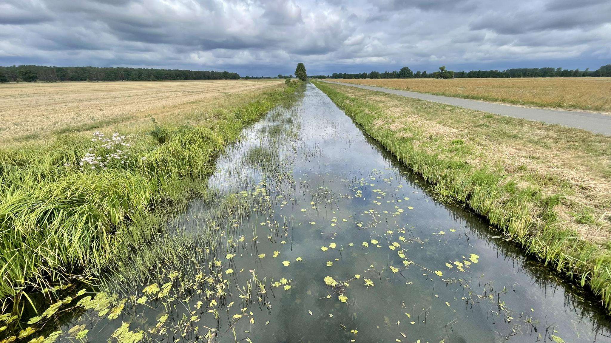
The best running trails in Brandiser Heide
4.0
(17)
181
runners
19
runs
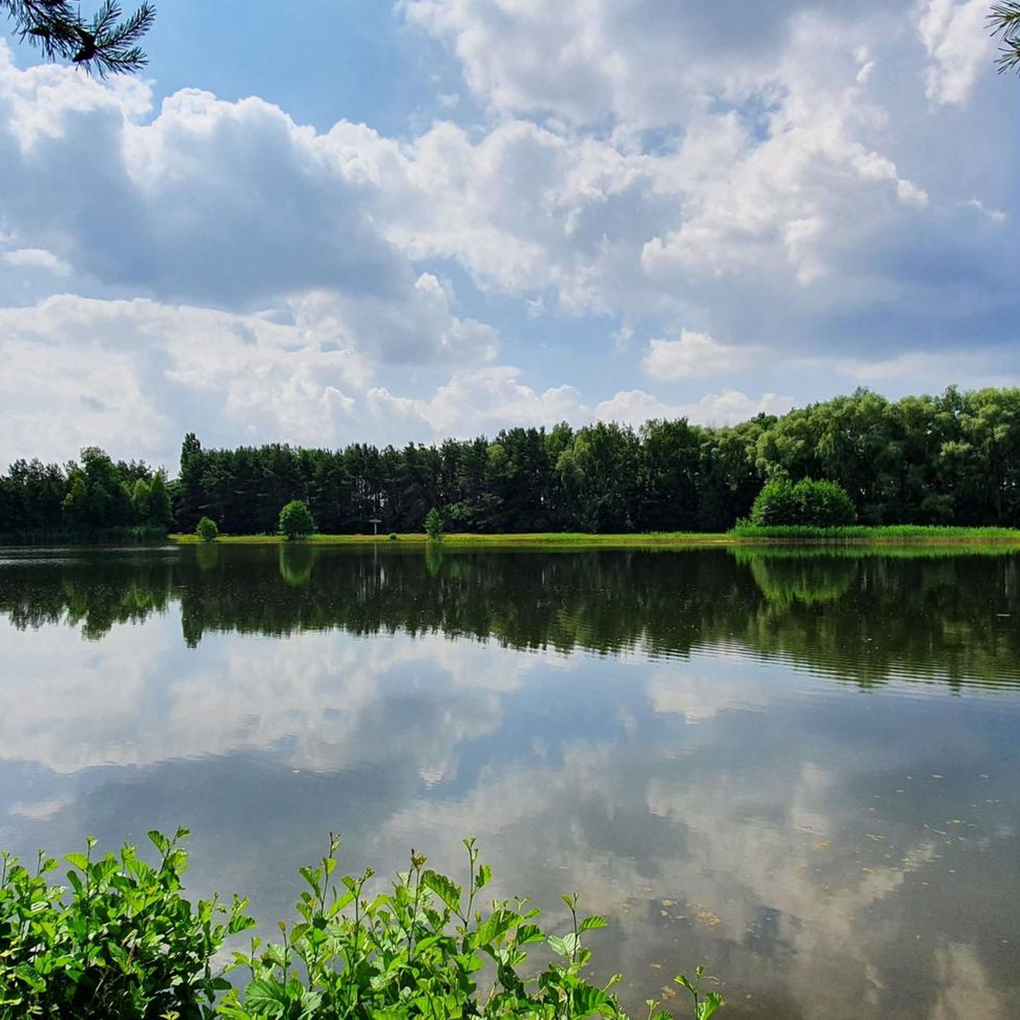
Jogging in Brandiser Heide offers a diverse landscape for runners, characterized by extensive forests, various lakes, and unique quarry features. The region provides a network of trails with varied terrain, including easily accessible paths and sections with moderate elevation changes. These natural features create a refreshing environment for outdoor activity, suitable for different fitness levels.
Best jogging routes in Brandiser Heide
- The most popular jogging route is Air Force Beach loop from Holzdorf-Ost, a 3.4 miles (5.4 km) trail…
Last updated: June 27, 2026
4.3
(3)
36
runners
5.44km
00:35
10m
10m
Moderate run. Good fitness required. Mostly paved surfaces. Suitable for all skill levels.
2.0
(1)
8
runners
7.23km
00:46
10m
10m
Moderate run. Good fitness required. Mostly paved surfaces. Suitable for all skill levels.

Sign up for free
4.0
(1)
4
runners
10.1km
01:05
10m
10m
Moderate run. Good fitness required. Mostly paved surfaces. Suitable for all skill levels.
3.0
(1)
3
runners
9.31km
00:58
10m
10m
Moderate run. Good fitness required. Mostly paved surfaces. Suitable for all skill levels.
5.0
(1)
19
runners
5.21km
00:33
10m
10m
Moderate run. Good fitness required. Mostly paved surfaces. Suitable for all skill levels.
Get access to more routes and recommendations from other explorers.
Sign up for free
Already have an account?
Our route recommendations are based on thousands of hikes, rides, and runs completed by other people on komoot.
Start today with a free account
Your next adventure awaits.
Login or Signup
Popular around Brandiser Heide
Frequently Asked Questions
How many running routes are available in Brandiser Heide?
Brandiser Heide offers a good selection of running trails, with nearly 20 routes documented on komoot. These routes cater to various preferences, from moderate loops to more challenging paths.
What kind of terrain can I expect on the jogging trails in Brandiser Heide?
The terrain in Brandiser Heide is quite varied, featuring extensive forests, serene lakes, and unique quarry landscapes. You'll find a mix of easily accessible paths and sections with moderate elevation changes, providing a refreshing environment for your run. The area around the Kohlenberg near Brandis, for instance, offers some gentle undulations.
Are there any circular running routes in Brandiser Heide?
Yes, many of the running routes in Brandiser Heide are circular, allowing you to start and finish at the same point. For example, the Air Force Beach loop from Holzdorf-Ost is a popular moderate circular trail, as is the longer Running loop from Holzdorf-Ost which takes you through dense woodlands.
What do other runners say about the trails in Brandiser Heide?
The running routes in Brandiser Heide are highly regarded by the komoot community, holding an average rating of 4.0 stars from over 15 reviews. Runners often praise the diverse natural landscapes, including the forests and lakes, and the well-maintained trail network suitable for different fitness levels.
Are there any easy running routes suitable for beginners in Brandiser Heide?
While most routes are classified as moderate, the varied terrain includes easily accessible paths that are suitable for beginners or those looking for a less strenuous run. The region's extensive trail network ensures you can find paths that match your comfort level, often around the lakes or through flatter forest sections.
Can I find challenging running routes in Brandiser Heide?
Yes, for more experienced runners seeking a challenge, Brandiser Heide does offer some routes with slightly more demanding sections. While most are moderate, there is at least one route classified as difficult, providing a good workout with varied elevation changes, particularly around the hills and former quarries.
Are the running trails in Brandiser Heide suitable for families?
Brandiser Heide is generally family-friendly, with many trails offering easily accessible paths through forests and around lakes. The diverse landscape and natural features like Albrechtshainer Lake provide a pleasant environment for families to enjoy a run or walk together. Always check the specific route details for distance and elevation to ensure it suits your family's needs.
Are dogs allowed on the jogging routes in Brandiser Heide?
Generally, dogs are welcome on trails in natural areas like Brandiser Heide. However, it's always recommended to keep your dog on a leash, especially in forested areas or near wildlife, and to adhere to local regulations. The extensive woodlands and open spaces provide a great environment for running with your canine companion.
Are there any scenic viewpoints or natural features to look out for while running?
Absolutely! Brandiser Heide is rich in natural beauty. Routes around Albrechtshainer Lake offer breathtaking views, and the dense woodlands provide a refreshing atmosphere. The unique geological features of the former quarries also add visual interest to many trails, creating a diverse and engaging running experience.
What are the typical distances and durations for running routes in Brandiser Heide?
The running routes in Brandiser Heide vary in length and duration. You can find shorter loops like the Running loop from Herzberg (Elster), which is about 5.2 km and takes around 30-35 minutes. Longer options include the Air Force Beach – Brandiser Heide loop from Holzdorf-Ost at 7.2 km, typically completed in about 45 minutes, or the Running loop from Schönewalde, which is 9.3 km.
Is there public transport access to the running trails in Brandiser Heide?
While specific public transport stops directly at trailheads might vary, the Brandis region generally has public transport connections. It's advisable to check local bus or train schedules to nearby towns like Brandis or Holzdorf-Ost, from where many trails are accessible, allowing you to reach your starting point without a car.
Are there parking facilities available near the running routes?
Yes, for many popular running routes in Brandiser Heide, you can typically find parking facilities in nearby towns or designated areas. For example, routes starting from Holzdorf-Ost or Schönewalde often have accessible parking, making it convenient for runners arriving by car. Always check the specific route details on komoot for recommended parking spots.
Most popular routes in Brandiser Heide

Get inspired with the komoot mobile app


Explore more
Browse the best Running Trails & Routes in other regions.
