The best walks and hikes in Unterheide
4.5
(7576)
25,848
hikers
941
hikes
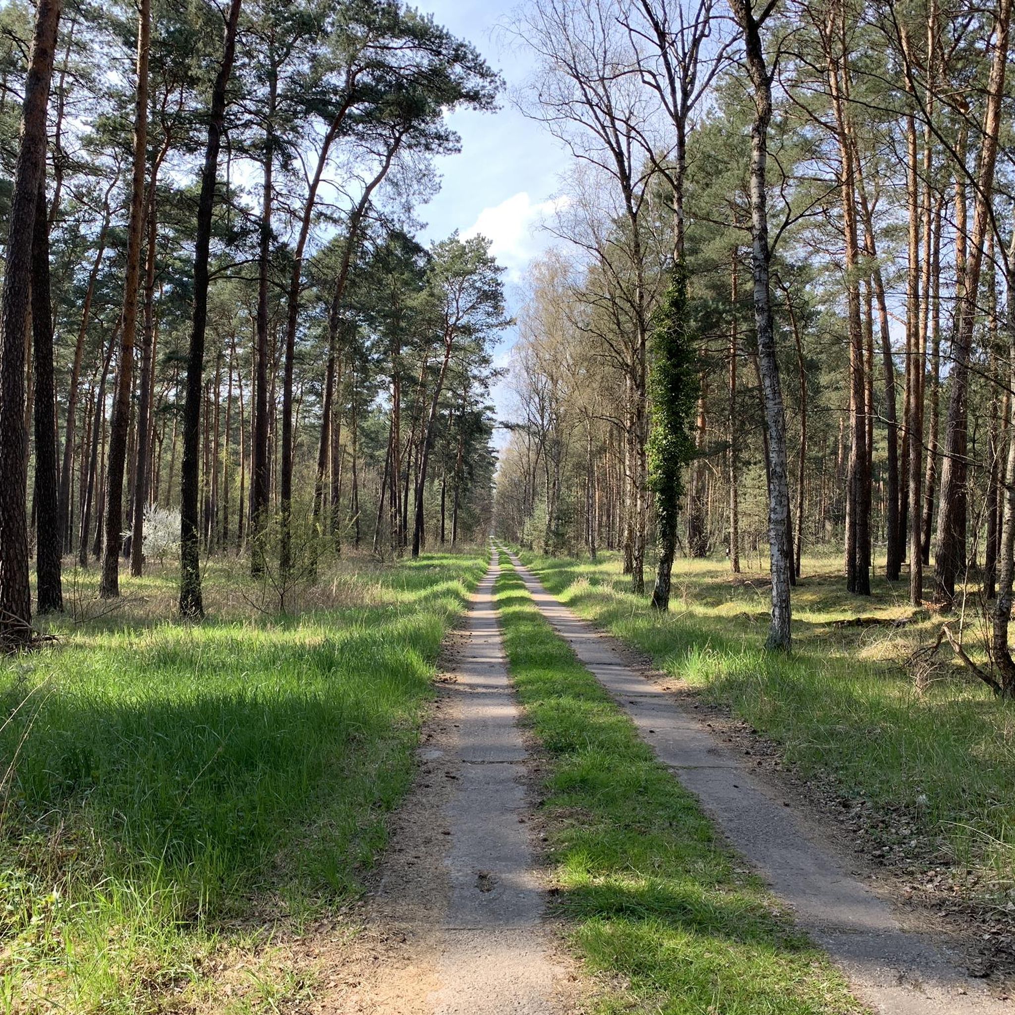
Hiking in Unterheide offers a diverse landscape characterized by gently rolling terrain and minimal elevation changes, making it accessible for various fitness levels. The region features extensive forests with birch, beech, and pine trees, alongside open heathland and moors. These natural environments provide varied scenery throughout the year, from vibrant heather in summer to colorful foliage in autumn. The area is defined by its mix of woodlands and open spaces, providing a tranquil setting for outdoor activities.
Best hiking trails…
Last updated: September 30, 2026
4.3
(12)
26
hikers
Moderate hike. Good fitness required. Easily-accessible paths. Suitable for all skill levels.
5.0
(6)
23
hikers
10.6km
02:40
10m
10m
Moderate hike. Good fitness required. Easily-accessible paths. Suitable for all skill levels.

5.0
(1)
9
hikers
20.7km
05:14
40m
40m
Hard hike. Very good fitness required. Easily-accessible paths. Suitable for all skill levels.
5.0
(2)
8
hikers
4.01km
01:01
10m
10m
Easy hike. Great for any fitness level. Easily-accessible paths. Suitable for all skill levels.
3
hikers
Moderate hike. Good fitness required. Easily-accessible paths. Suitable for all skill levels.
Get access to more routes and recommendations from other explorers.
Already have an account?
Our route recommendations are based on thousands of hikes, rides, and runs completed by other people on komoot.
Start today with a free account
Your next adventure awaits.

Tips from the Community

A quiet route that is easy to drive.
0
0

beautiful path along the Oder Spree Canal from Wernsdorf
0
0
Heather flowers found at the end of August
0
0

Absolutely dream route!!! A real highlight of the region!
1
0

Beautiful view of the Krüpelsee on the one hand and the Zernsdorfer Lankensee on the other.
0
0


In Zernsdorf on Undinestr.1 at BunBo you can rent a houseboat in the summer months. There are always a few of them on the lake :)
1
0

From the bridge you have a wonderful view over the Krüpelsee. Under the bridge there is the connection to Zernsdorfer Lankensee. The Krüpelsee is located east of Königs Wusterhausen and is surrounded by the districts of Kablow, Zernsdorf, Neue Mühle, Senzig and a reed belt. Many private properties make access from the shore difficult. However, a few spots on the lake are open to the public. In the west, the Krüpelsee merges into the Krimmicksee. Both lakes together are about four kilometers long. The Dahme flows through them. The Krüpelsee is about 285 hectares in size, has an average depth of 2.5 m and is part of the federal waterway.
2
0
Frequently Asked Questions
How many hiking trails are available in Unterheide?
Unterheide offers an extensive network of nearly 1000 hiking trails. With over 600 easy routes, 324 moderate paths, and 29 more challenging options, there's a suitable trail for every fitness level.
What kind of terrain can I expect when hiking in Unterheide?
The terrain in Unterheide is characterized by its gently rolling landscape with minimal elevation changes, making it accessible for various fitness levels. You'll encounter diverse environments, including extensive forests with birch, beech, and pine trees, alongside open heathland and tranquil moors. This mix provides varied scenery throughout the year.
Are there any family-friendly hiking routes in Unterheide?
Yes, Unterheide is well-suited for family hikes due to its gentle terrain and numerous easy trails. A great option for families is the Hiking loop from Kablow-Ziegelei, Am Lankensee, which is an easy 4 km route, perfect for a leisurely outing with children.
What are some interesting landmarks or natural features to see along the trails?
Unterheide's trails lead you through diverse landscapes. While hiking, you might encounter historical sites such as the Niederlehme Tank and Lubricant Storage Facility 44 or the Abandoned Bunker. Natural features include the expansive forests and open heathland, which are particularly beautiful during the heather bloom in summer.
Are there any circular hiking routes in Unterheide?
Yes, many of the trails in Unterheide are circular, offering convenient starting and ending points. For example, the Forest Path Near Berlin – Abandoned Village of Uckley loop from Brücke is a moderate 8.1 km circular route that takes you through forested areas and past historical sites.
What is the best time of year to go hiking in Unterheide?
Unterheide offers beautiful hiking experiences throughout the year. Summer is popular for the vibrant purple heather bloom across the heathlands. Autumn brings colorful foliage to the forests, while spring offers fresh greenery. Even in winter, if there's enough snow, some areas might offer prepared trails, extending the outdoor activity season.
Can I bring my dog on the hiking trails in Unterheide?
Generally, dogs are welcome on most hiking trails in Unterheide. The region's extensive forests and open spaces provide plenty of opportunities for walks with your canine companion. However, it's always advisable to keep dogs on a leash, especially in nature protection areas or when encountering wildlife or livestock like the Heidschnucken (heathland sheep).
Are there any viewpoints or scenic spots in Unterheide?
While Unterheide is known for its gently rolling landscape rather than dramatic peaks, many trails offer picturesque views, especially across the open heathlands and tranquil lakes. The View of Lake Lanke – View of the Krüpelsee loop from Kablow-Ziegelei, Am Lankensee, for instance, provides lovely vistas of both Lake Lanke and Krüpelsee.
What do other hikers enjoy most about hiking in Unterheide?
The komoot community highly rates hiking in Unterheide, with an average score of 4.6 stars from over 6,300 reviews. Hikers often praise the tranquil setting, the diverse mix of woodlands and open heathland, and the well-maintained trails that cater to various abilities. The gentle terrain and natural beauty are frequently highlighted as key attractions.
Are there options for longer, more challenging hikes in Unterheide?
Yes, while many routes are easy to moderate, Unterheide also offers longer and more challenging options. For instance, the Oder-Spree Canal Path – Wernsdorf Lock loop from Wildau is a difficult 21.3 km trail that takes you through varied landscapes along the canal, typically requiring over 5 hours to complete.
Is there parking available at the trailheads in Unterheide?
Many of the hiking trails in Unterheide, particularly those within the broader Südheide Nature Park, are designed with designated parking areas. These often serve as starting points for various routes, including themed trails. It's common to find parking facilities conveniently located near popular trailheads.
How can I reach Unterheide's hiking trails using public transport?
The region around Unterheide, being part of the wider Lüneburg Heath area, often has public transport connections to its towns and villages. From these points, many trails are accessible. For specific routes, it's recommended to check local bus or train schedules to the nearest towns or trail access points, as some routes might start directly from public transport stops.
Most popular routes in Unterheide
Most popular attractions in Unterheide

Get inspired with the komoot mobile app


Explore more
Browse the best Hikes in other regions.
