The best running trails in Horlitzer Berg
4.1
(30)
617
runners
106
runs
Jogging routes in Horlitzer Berg offer a variety of paths through a landscape characterized by gentle elevations and forested areas. The region provides a mix of natural trails and well-maintained paths suitable for running. Runners can expect to find routes that traverse woodlands and open spaces, with minimal significant climbs.
Best jogging routes in Horlitzer Berg
- The most popular jogging route is Felixsee Lookout Tower – Felixsee and the Observation Tower loop from Döbern, a 7.2 miles (11.6 km)…
Last updated: July 7, 2026
10
runners
Moderate run. Good fitness required. Mostly paved surfaces. Suitable for all skill levels.
10
runners
11.2km
01:10
70m
70m
Moderate run. Good fitness required. Mostly paved surfaces. Suitable for all skill levels.

Sign up for free
3.0
(1)
4
runners
Easy run. Great for any fitness level. Mostly paved surfaces. Suitable for all skill levels.
5
runners
6.12km
00:39
40m
40m
Moderate run. Good fitness required. Mostly paved surfaces. Suitable for all skill levels.
4
runners
9.04km
00:56
40m
40m
Moderate run. Good fitness required. Mostly paved surfaces. Suitable for all skill levels.
Get access to more routes and recommendations from other explorers.
Sign up for free
Already have an account?
Our route recommendations are based on thousands of hikes, rides, and runs completed by other people on komoot.
Start today with a free account
Your next adventure awaits.
Login or Signup
Popular around Horlitzer Berg
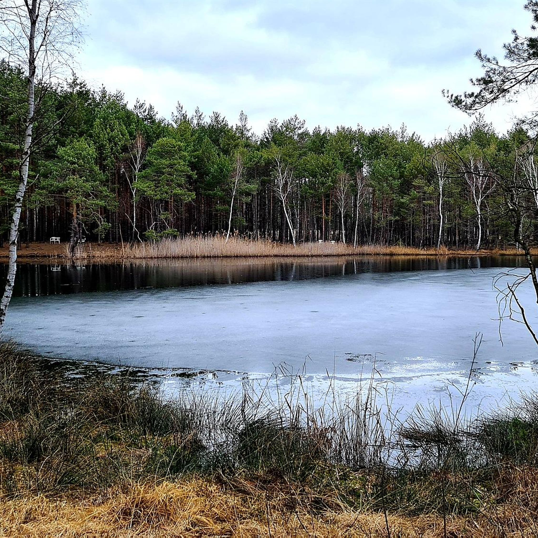
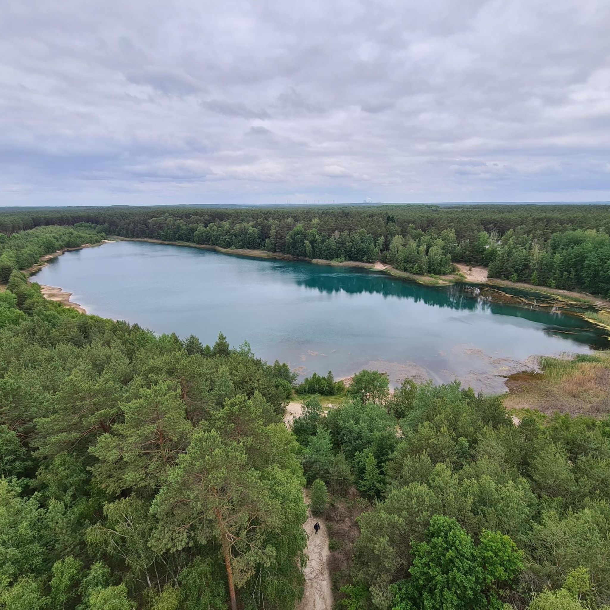
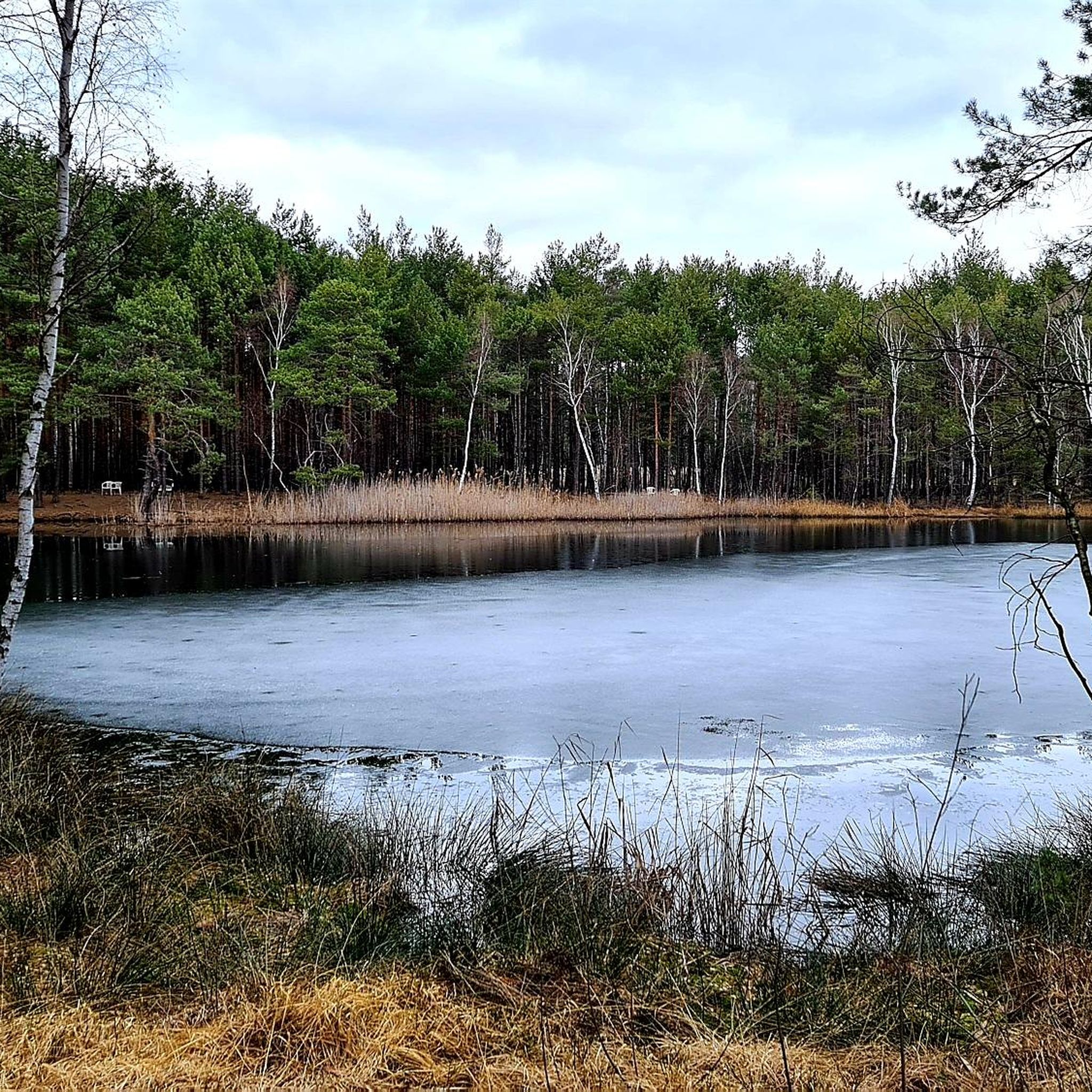
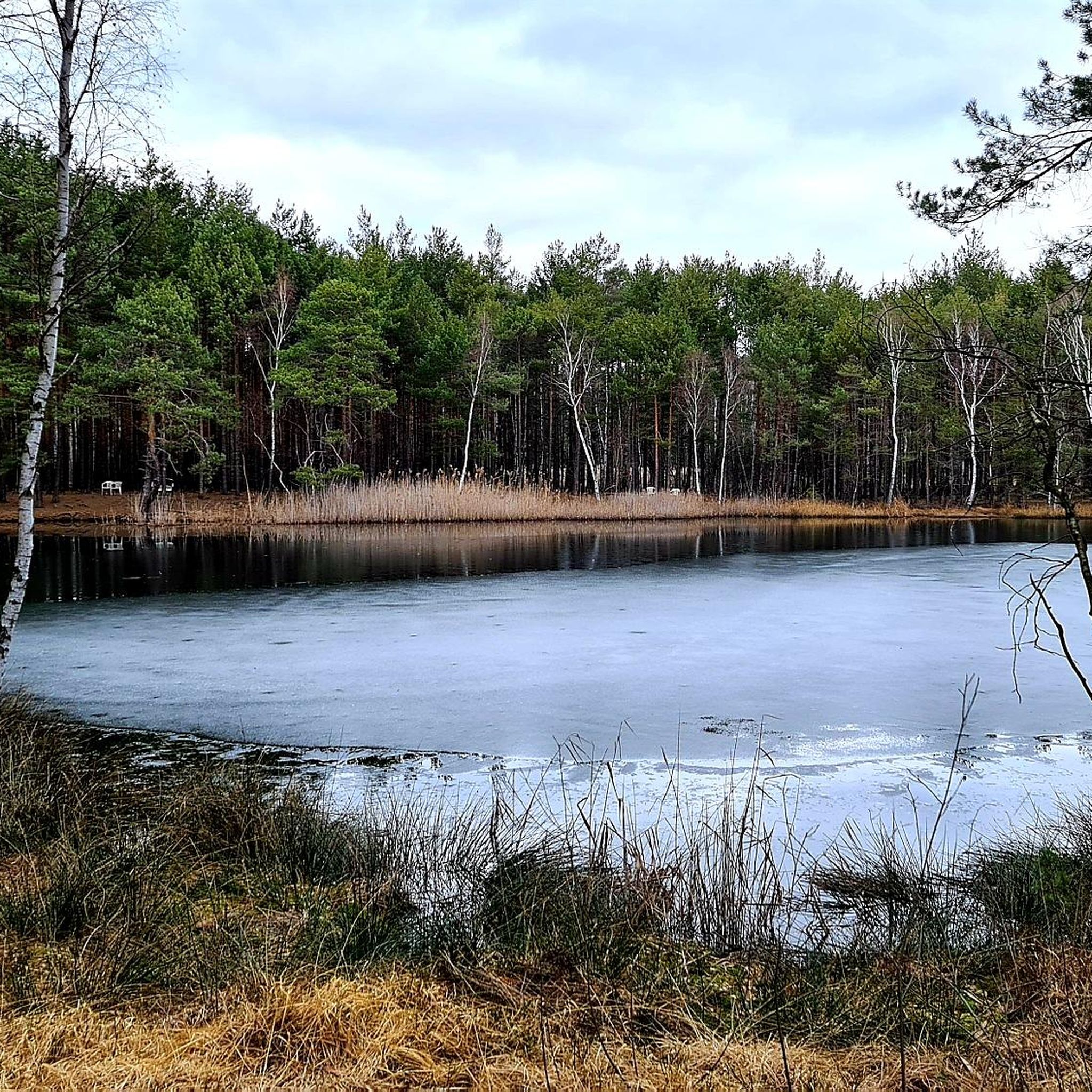
Tips from the Community

The mining character of the area is still impressively tangible on the surface: in residual lakes such as the Schwarzer See and the GST pond, on spoil heaps west of the GST pond, and especially in the numerous collapse fields in the western and southern areas. These surface-visible subsidence and collapse structures, created by collapse and subsidence over relatively shallow underground mining operations, outline the extent of the area's former mining use. Large parts of the area are forested, with pines and birches predominating. https://www.kuladig.de/Objektansicht/BKM-32000778
1
0

Closes at 4pm, so arrive early.
0
0

You should take a look when you come by.
0
0
Nice swimming opportunities on the east bank.
1
0

Unfortunately, there is no idea what could be done with it.
1
0
Particularly interesting for women.
2
0
There you can buy beautiful things made of glass.
1
0

nice water. Always good to cool down in summer!
1
0
Frequently Asked Questions
How many running routes are available in Horlitzer Berg?
Horlitzer Berg offers a wide selection of running routes, with over 110 trails to explore. These range from easy paths suitable for beginners to more challenging routes for experienced runners.
Are there easy running routes for beginners in Horlitzer Berg?
Yes, Horlitzer Berg has 13 easy running routes perfect for beginners. A great option is the Felixsee Lookout Tower – Felixsee and the Observation Tower loop from Felixsee, which is just under 3 km long and features minimal elevation gain.
What is the typical length of running trails in Horlitzer Berg?
The running trails in Horlitzer Berg vary in length. Many popular routes are between 9 km and 12 km. For example, the Running loop from Groß Kölzig is about 9 km, while the Felixsee Lookout Tower – Felixsee and the Observation Tower loop from Döbern is around 11.6 km.
Can I reach the running routes in Horlitzer Berg by public transport?
While specific public transport connections to every trailhead are not detailed, many routes start near towns like Döbern, Felixsee, or Groß Kölzig. It is advisable to check local bus or train schedules for connections to these areas, as public transport options can be limited in more rural parts of the region.
Are the running trails in Horlitzer Berg dog-friendly?
Many trails in Horlitzer Berg are suitable for running with dogs, especially those traversing woodlands and open spaces. However, it's always recommended to keep dogs on a leash, especially in nature reserves or areas with wildlife, and to respect local regulations.
Are there circular running routes in Horlitzer Berg?
Yes, many of the running routes in Horlitzer Berg are circular, offering convenient starting and ending points. Examples include the Abandoned Döbern Train Station loop from Felixsee and the Felixsee and the Observation Tower – Felixsee Lookout Tower loop from Felixsee.
What kind of scenery can I expect on the running trails?
Runners in Horlitzer Berg can expect a diverse landscape characterized by gentle elevations, extensive forested areas, and open spaces. The region is known for its woodlands, open fields, and small lakes, providing a varied and scenic backdrop for your run.
What interesting sights can I see along the running routes?
Along the running routes, you can discover several points of interest. The Felixsee Lookout Tower offers panoramic views, and you might encounter natural monuments like the Eulenschlucht Gorge or the Finkenstein Glacial Erratic. The region also features beautiful lakes such as Luisensee and Giesersee.
What do other runners enjoy most about jogging in Horlitzer Berg?
The running routes in Horlitzer Berg are highly rated by the komoot community, with an average score of 4.1 stars from over 20 reviews. Runners often praise the varied terrain, the peaceful woodlands, and the well-maintained paths that offer options for different ability levels.
Are there any family-friendly running trails in Horlitzer Berg?
Yes, the region offers several easy and shorter routes that are suitable for families. Trails with minimal elevation and well-defined paths, such as the shorter loops around Felixsee, are ideal for a family run or walk.
What is the best time of year for running in Horlitzer Berg?
Horlitzer Berg is enjoyable for running throughout the year. Spring and autumn offer pleasant temperatures and beautiful foliage, while summer provides lush green landscapes. Winter running is also possible, though some trails might be affected by snow or ice, so checking local conditions is advised.
Most popular routes in Horlitzer Berg
Most popular attractions in Horlitzer Berg

Get inspired with the komoot mobile app


Explore more
Browse the best Running Trails & Routes in other regions.
