The best mountain hikes in Sebnitzer Wald
4.9
(359)
1,188
hikers
32
hikes
Mountaineering in Sebnitzer Wald offers a diverse landscape shaped by Lusatian biotite granodiorite, featuring varied terrain with exposed slopes and a nearly completely forested environment. The region is characterized by a network of seepage courses and small streams, contributing to its rich hydrological features. Elevations such as Kaiserberg (495 m) and Buchberg (459 m) provide ascents and contribute to the challenging nature of many routes. This area provides a rugged, forested landscape ideal for active outdoor experiences.
Best mountaineering routes…
Last updated: September 28, 2026
4.7
(3)
13
hikers
Moderate mountaineering route. Good fitness required. Mostly accessible paths. Sure-footedness required.
5.32km
01:35
150m
150m
Moderate mountaineering route. Great for any fitness level. Mostly accessible paths. Sure-footedness required.

5.0
(1)
6
hikers
Hard mountaineering route. Very good fitness required. Sure-footedness, sturdy shoes and alpine experience required.
5.0
(1)
3
hikers
Hard mountaineering route. Good fitness required. Sure-footedness, sturdy shoes and alpine experience required.
5.0
(1)
3
hikers
Hard mountaineering route. Great for any fitness level. Sure-footedness, sturdy shoes and alpine experience required.
Get access to more routes and recommendations from other explorers.
Already have an account?
Our route recommendations are based on thousands of hikes, rides, and runs completed by other people on komoot.
Start today with a free account
Your next adventure awaits.
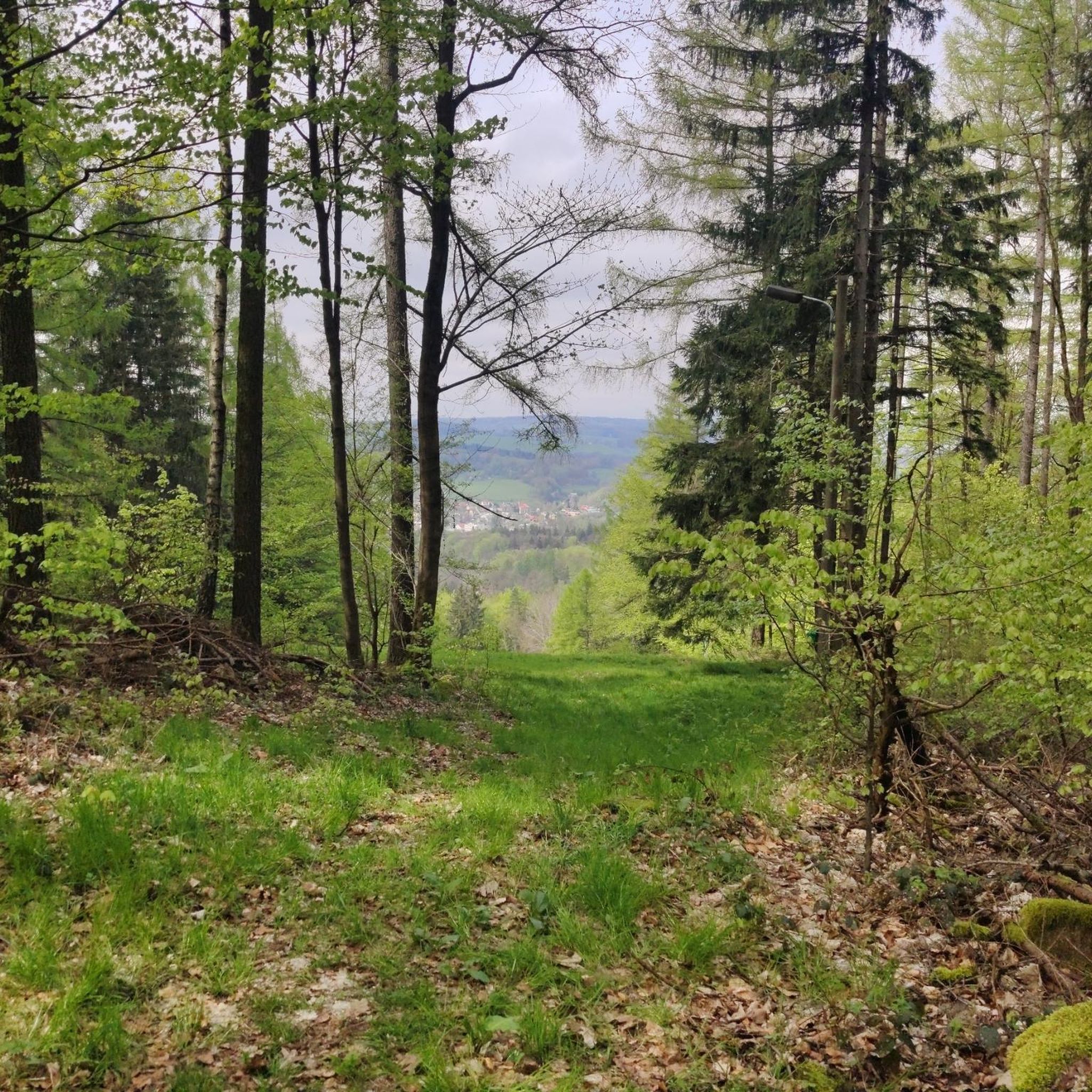
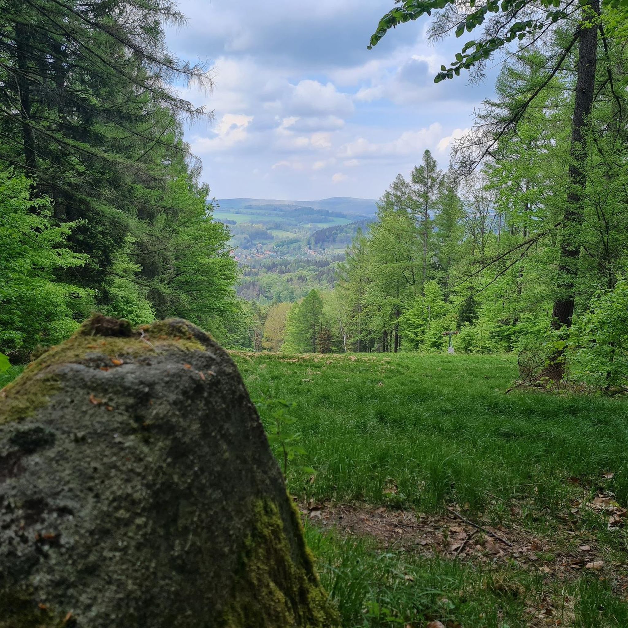
Tips from the Community

It has become very dilapidated in the meantime, the path. We didn't force our way through. ;-)
0
0

Especially on warm summer days, the Flößersteig along the Kirnitzsch offers a bit of cooling. In addition, the number of hikers here remains limited. Numerous information boards provide knowledge about nature and history - and with a bit of luck, you might even encounter wildlife such as dippers, fire salamanders, trout, and dragonflies.
0
0

Beautiful rock formations and a wide view.
0
0

The path has been officially closed since 1981 and is now located in the core zone of the Saxon Switzerland National Park. Walking on the path constitutes an administrative offense and can be punished with a fine.
2
0

It is one of over 1000 climbing rocks in the Elbe Sandstone Mountains.
0
0
It is one of over 1000 climbing rocks in the Elbe Sandstone Mountains.
0
0

Currently (2025), this parking lot can be used free of charge and offers enough space.
0
0

It's just incredibly beautiful here 😊.
0
2
Frequently Asked Questions
How many mountaineering routes are available in Sebnitzer Wald?
There are over 30 mountaineering routes in Sebnitzer Wald, ranging from moderate to difficult. The region offers a diverse landscape for various skill levels.
Are there any easy mountaineering routes suitable for beginners in Sebnitzer Wald?
While many routes are moderate to difficult, there is at least one easy mountaineering route available. For a moderate option that offers scenic views along watercourses and through tranquil forest, consider the Kirnitzsch Bridge – Waldstraße Bus Stop loop from Ottendorf, which is about 5.4 km long.
What kind of terrain can I expect on mountaineering routes in Sebnitzer Wald?
The terrain in Sebnitzer Wald is characterized by a diverse landscape shaped by Lusatian biotite granodiorite, featuring varied terrain with exposed slopes and a nearly completely forested environment. You'll encounter significant elevation changes, rock formations like Wolfstein, and a network of streams.
Are there any circular mountaineering routes in Sebnitzer Wald?
Yes, many routes in Sebnitzer Wald are designed as loops. For example, the popular Zeughaus, Saxon Switzerland – Neumannmühle loop from Saxon Switzerland National Park is a 16.2 km circular trail with significant elevation changes. Another option is the Neumannmühle Parking Area – Neumannmühle loop from Saxon Switzerland National Park, a 7.2 km route.
What are some challenging mountaineering routes in Sebnitzer Wald?
For a more challenging experience, consider routes with significant elevation gain. The Neumannmühle – Goldstein Viewpoint loop from Ottendorf is a difficult 17.4 km trail with substantial elevation gain. Another challenging option is the Great Pohlshorn – Dreisteigensteig loop from Saxon Switzerland National Park, covering about 10.5 km.
What natural features or landmarks can I see along the mountaineering routes?
Sebnitzer Wald offers several natural highlights. You might encounter the tranquil Wölmsteich forest lake, the rock formation of Wolfstein, or the elevations of Kaiserberg and Buchberg. The region is also known for its network of streams and potential waterfalls.
Are there any family-friendly attractions near the mountaineering routes?
Yes, for families, the Uhrzeitpark Sebnitz (Prehistoric Park) is a notable attraction. Additionally, the Forellenschänke — Fish Ponds and Playground offers a recreational area with amenities suitable for families.
What do other mountaineers enjoy most about the routes in Sebnitzer Wald?
The routes in Sebnitzer Wald are highly rated by the komoot community, with an average score of 4.9 stars. Reviewers often praise the varied terrain, the extensive forested landscapes, and the challenging yet rewarding ascents to viewpoints like those found on Kaiserberg and Buchberg.
Is there parking available near the starting points of the mountaineering routes?
Yes, many routes, such as the Neumannmühle Parking Area – Neumannmühle loop, indicate parking availability at their starting points. It's advisable to check specific route details for precise parking information.
Can I reach the mountaineering routes in Sebnitzer Wald by public transport?
While specific public transport details for every trailhead are not provided, some routes, like the Kirnitzsch Bridge – Waldstraße Bus Stop loop, mention bus stops as part of their starting or ending points, suggesting public transport access to certain areas.
Are there any places to eat or rest near the trails?
The Naherholungsgebiet Forellenschenke is a recreational area that serves as a starting point for hikes and offers amenities. While not explicitly cafes, such areas often provide opportunities for refreshments or a break.
What is the best time of year for mountaineering in Sebnitzer Wald?
Sebnitzer Wald offers outdoor experiences throughout the year. While specific 'best time' is not detailed, the forested landscape and varied terrain make it suitable for hiking in most seasons. Winter mountaineering is also an option for those prepared for colder conditions.
Most popular routes in Sebnitzer Wald
Most popular attractions in Sebnitzer Wald

Get inspired with the komoot mobile app


Explore more
Browse the best Mountain Hikes & Routes in other regions.
