The best MTB trails in Forst Doberschütz
4.5
(46)
166
riders
53
rides
Mountain biking in Forst Doberschütz, located within the Dübener Heide nature park, offers diverse terrain for various skill levels. The region features extensive mixed forests, tranquil moorlands, and numerous natural water features, including the Morellensee. Its landscape, shaped by the Ice Age, presents a mix of idyllic lowlands and gentle hilly sections, providing varied ascents and descents for mountain bikers.
Best mountain bike trails in Forst Doberschütz
- The most popular mountain bike trail is Schwarzbach Hut – Wooden Bridge in…
Last updated: July 10, 2026
5.0
(2)
2
riders
Moderate mountain bike ride. Good fitness required. Advanced riding skills necessary.
5.0
(2)
15
riders
48.8km
03:26
130m
130m
Moderate mountain bike ride. Good fitness required. Advanced riding skills necessary.

Sign up for free
5.0
(3)
17
riders
Easy mountain bike ride. Great for any fitness level. Suitable for all skill levels.
4.8
(4)
7
riders
38.9km
02:37
260m
260m
Moderate mountain bike ride. Good fitness required. Advanced riding skills necessary.
4.0
(2)
5
riders
23.5km
01:37
50m
50m
Moderate mountain bike ride. Great for any fitness level. Advanced riding skills necessary.
Get access to more routes and recommendations from other explorers.
Sign up for free
Already have an account?
Our route recommendations are based on thousands of hikes, rides, and runs completed by other people on komoot.
Start today with a free account
Your next adventure awaits.
Login or Signup
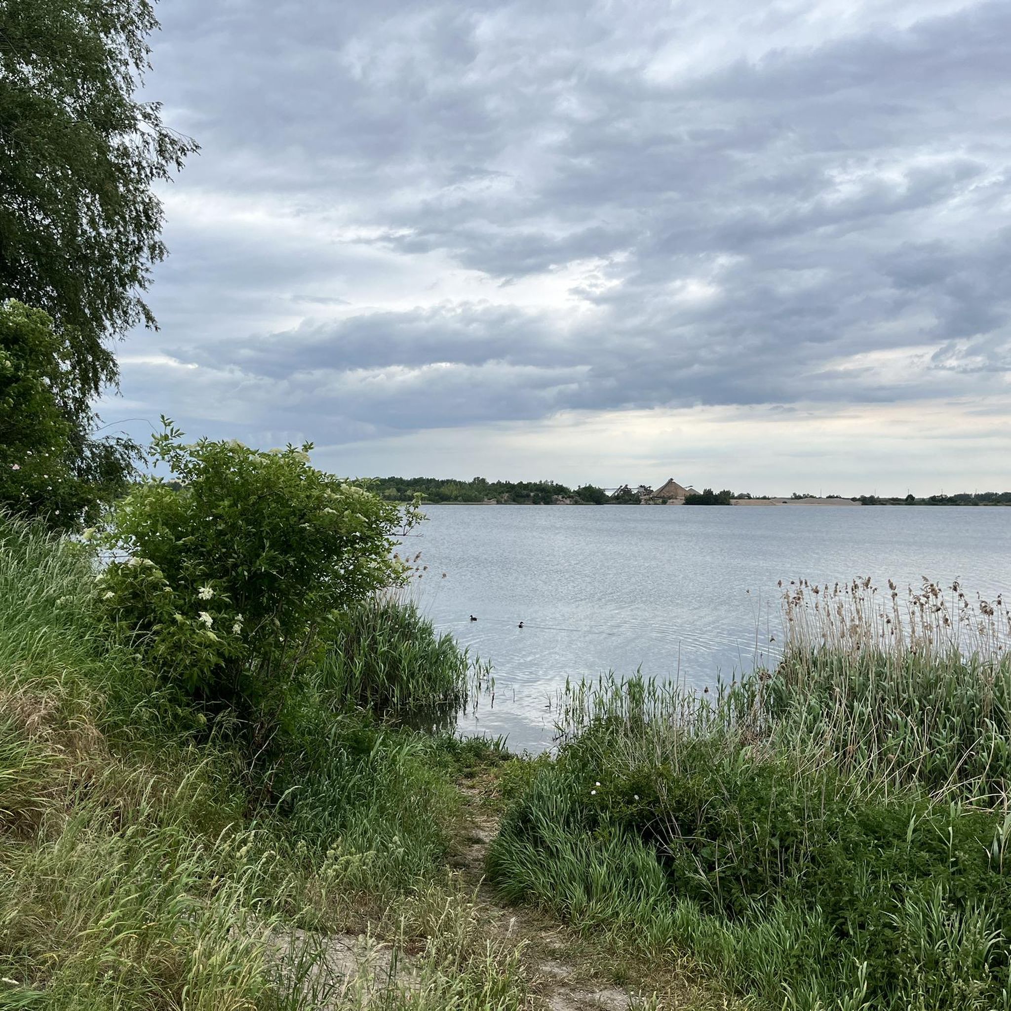
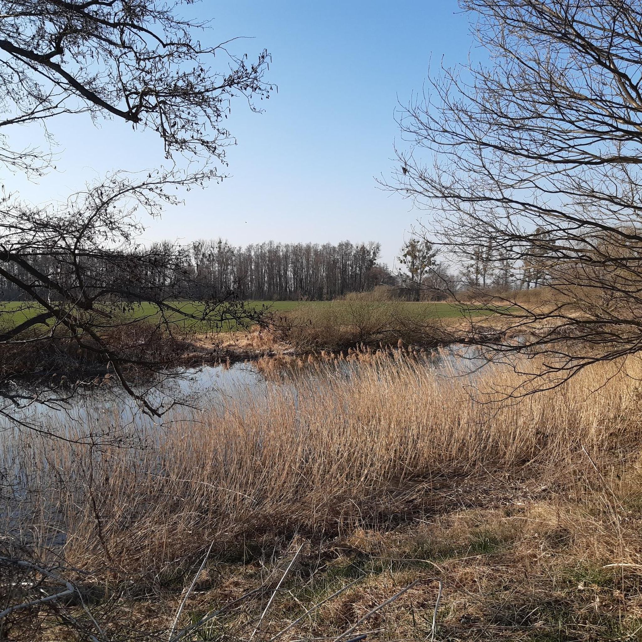
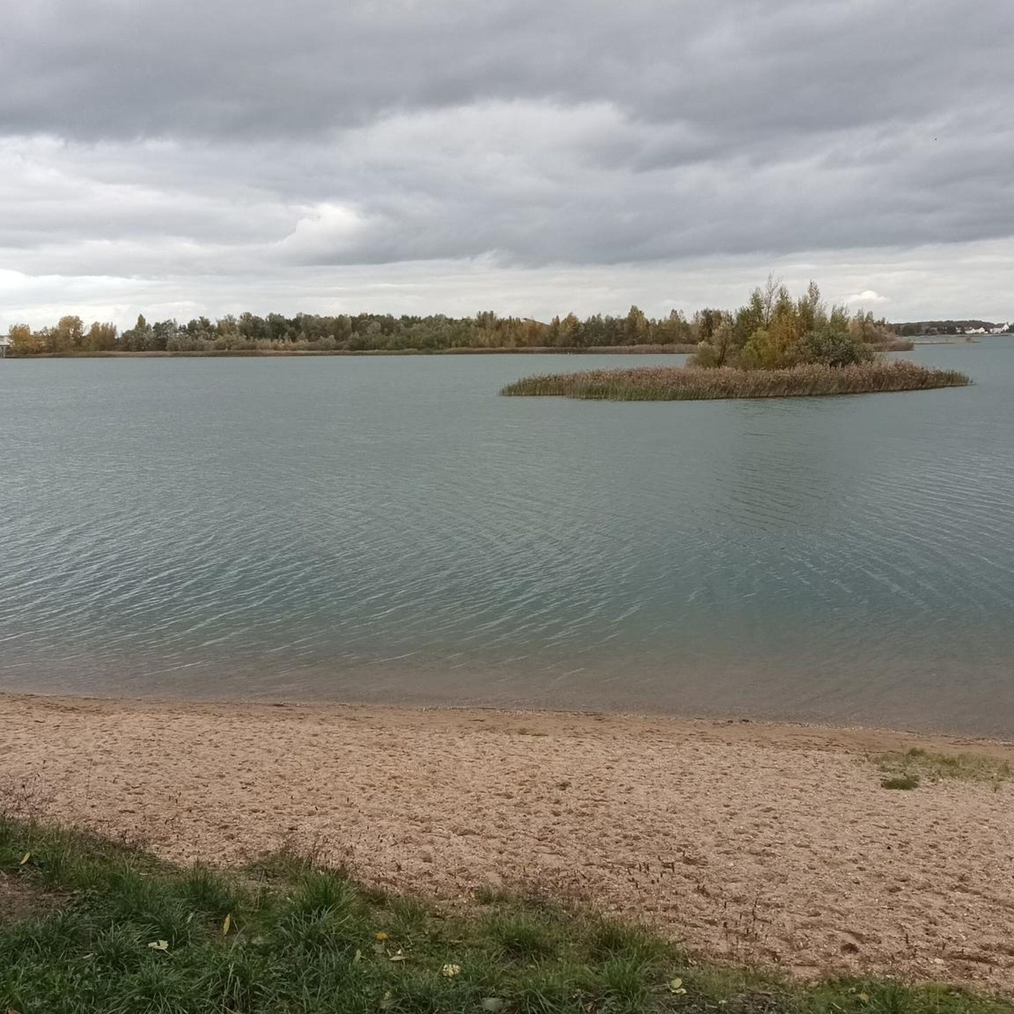
Tips from the Community

From the small bridge, you have a nice view over the water.
2
0
The Mulde flows exclusively in the North German Plain, initially through the Saxon Uplands, and passes Grimma, Nerchau, and Trebsen. Approximately near Wurzen, on the western edge of which it flows, the Mulde reaches the Elbe-Mulde Lowland. It then flows through Eilenburg and Bad Düben and shortly thereafter leaves Saxon territory. The remaining course to its mouth is covered by the Mulde in Saxony-Anhalt. Further downstream, until 1975, the Mulde flowed west of the two places Pouch and Friedersdorf in the area of today's Goitzschesee. Since then, it has been dammed up east of the two places in the Muldestausee – a former open-cast mine. Subsequently, the Mulde flows past Muldenstein, Jeßnitz, Raguhn, and Dessau and flows into the Elbe between Dessau and Roßlau after 147 km.[2] The revitalization project "Wilde Mulde" for the lower course in Dessau was recognized in November 2018 as an official project of the UN Decade of Biodiversity.[11][12] Source https://de.wikipedia.org/wiki/Mulde_(Fluss)#Hochwasser
4
0
Although the confluence of the two source rivers takes place at approximately half the total length of the Mulde, the Freiberger Mulde and Zwickauer Mulde already contribute over 80% of the total water volume. This is due to the shape of the catchment area, which is very wide in the Ore Mountains and narrows towards the Elbe, and also to the higher precipitation in the mountains and simultaneously higher proportion of runoff water. The shape of the catchment areas also means that the longer Zwickauer Mulde is the smaller of the two source rivers at the confluence. The hydrologically strongly dominating main branch of the Freiberger Mulde river system is the Zschopau. In its upper catchment area, it is again a named tributary, the Flöha, that contributes the larger water flow and is thus the actual source river of the Mulde. Along this main flow path, the Mulde is approximately 267 kilometers long, and along the longest flow path (Zwickauer Mulde) a good 314 kilometers.[3] The Mulde catchment area shows total drops of 600 to 900 meters for many important flow paths, so that exceptionally high flow velocities prevail here for Northern Germany. The Mulde is sometimes even referred to as the fastest flowing river in Central Europe.[10] Source https://de.wikipedia.org/wiki/Mulde_(Fluss)#Hochwasser
4
0
The Mulde, also known as Vereinte Mulde or Vereinigte Mulde, is a left-hand, non-navigable tributary of the Elbe. It is formed southeast of Leipzig near Sermuth (Saxony) by the confluence of two large headwaters, the longer Zwickauer Mulde and the Freiberger Mulde, which drains a larger catchment area with a greater discharge. The river's catchment area covers large parts of Saxony and, in particular, by far the largest part of the northern slopes of the Ore Mountains. With a water flow of approximately 73 m³/s at its mouth[8], it is the fourth largest tributary of the Elbe. The old name for the Mulde, Milda, is translated by linguists as "the water-rich one".[9] The word component Mel, referring to grinding, is sometimes associated with the name in view of the large number of mills previously operated on the river, which overlooks the fact that river names represent the oldest, often Slavic or Celtic, geographical name layer.
4
0
Definitely worth seeing
1
0
Definitely worth seeing
3
0
Definitely worth seeing
3
0
Frequently Asked Questions
How many mountain bike trails are there in Forst Doberschütz?
Forst Doberschütz offers a diverse network of over 50 mountain bike trails. These routes cater to various skill levels, with 13 easy, 33 moderate, and 7 difficult options available.
What kind of terrain and surfaces can I expect on the mountain bike trails in Forst Doberschütz?
The terrain in Forst Doberschütz, part of the Dübener Heide nature park, is varied. You'll encounter extensive mixed forests, tranquil moorlands, and natural water features. The landscape, shaped by the Ice Age, includes both idyllic lowlands and gentle hilly sections, offering a mix of ascents and descents. While some easy routes feature mostly paved surfaces, more challenging trails include unpaved and potentially difficult-to-ride segments for an authentic off-road experience.
Are there family-friendly mountain bike trails in Forst Doberschütz?
Yes, Forst Doberschütz offers several family-friendly options. There are 13 easy trails, many of which feature mostly paved surfaces and minimal elevation gain, making them suitable for all fitness levels and families. An example of an easy route is the Joachim Ringelnatz Fountain, Wurzen Market Square – Thallwitz Castle loop from Eilenburg Ost Bk Hp, which is about 19.8 miles long.
What natural features or points of interest can I expect to see along the trails?
The trails in Forst Doberschütz wind through the scenic Dübener Heide nature park, characterized by large mixed forests, tranquil moorlands, and numerous small and large bodies of water. A notable natural attraction often integrated into cycling routes is the Morellensee, offering picturesque views. You'll experience diverse landscapes, from shaded forest paths to open lowlands.
What do other mountain bikers say about the trails in Forst Doberschütz?
The mountain bike trails in Forst Doberschütz are highly rated by the komoot community, with an average score of 4.4 stars from over 40 reviews. More than 150 mountain bikers have explored the varied terrain, often praising the diverse landscapes, from extensive forests to tranquil moorlands and natural water features.
Are there challenging mountain bike routes for experienced riders?
Yes, for experienced riders seeking a challenge, Forst Doberschütz offers 7 difficult mountain bike routes. These trails often feature unpaved segments and greater elevation gains, providing a more demanding off-road experience. The region's hilly landscape, shaped by the Ice Age, contributes to the topographical interest for advanced bikers.
What is the best time of year for mountain biking in Forst Doberschütz?
The diverse landscape of Forst Doberschütz, with its mixed forests and varied terrain, makes it suitable for mountain biking across multiple seasons. Spring and autumn offer pleasant temperatures and vibrant scenery, while the extensive forests provide shade during warmer summer months. Winter mountain biking is also possible, though conditions may vary.
Can I bring my dog on the mountain bike trails in Forst Doberschütz?
While the region is known for its natural beauty and outdoor activities, specific regulations regarding dogs on mountain bike trails are not explicitly stated. It's generally advisable to keep dogs on a leash, especially within a nature park like Dübener Heide, to protect wildlife and ensure a pleasant experience for all users. Always check local signage for any specific restrictions.
Are there many loop mountain bike trails available?
Yes, many of the mountain bike trails in Forst Doberschütz are designed as loops, allowing you to start and end your ride at the same point. Examples include the popular Schwarzbach Hut – Wooden Bridge in Dübener Heide loop from Rote Jahne and the Presseler Pond – Wooden Bridge in Dübener Heide loop from Eilenburg Ost.
Where can I park when visiting the mountain bike trails in Forst Doberschütz?
While specific parking locations are not detailed, as a popular outdoor destination within the Dübener Heide nature park, there are typically designated parking areas near trailheads or key access points. It is recommended to check maps or local information for official parking facilities before your visit.
Is Forst Doberschütz accessible by public transport for mountain bikers?
Forst Doberschütz is part of the wider Dübener Heide region, and while some starting points for tours, such as those from Eilenburg Ost, suggest public transport accessibility (e.g., 'Eilenburg Ost Bk Hp'), direct public transport links to all trailheads within Forst Doberschütz may vary. It's advisable to research specific connections to your chosen starting point.
What is the typical length and duration of mountain bike tours in the area?
Mountain bike tours in Forst Doberschütz vary significantly in length and duration. You can find shorter rides, like the Joachim Ringelnatz Fountain, Wurzen Market Square – Thallwitz Castle loop from Eilenburg Ost Bk Hp at 19.8 miles (31.8 km) taking about 1 hour 39 minutes. Longer routes, such as the Presseler Pond – Wooden Bridge in Dübener Heide loop from Eilenburg Ost, can be up to 30.5 miles (49.1 km) and take over 3 hours.
Most popular routes in Forst Doberschütz

Get inspired with the komoot mobile app


Explore more
Browse the best MTB trails in other regions.
