The best road cycling routes in Untereichet
4.5
(69)
1,248
riders
117
rides
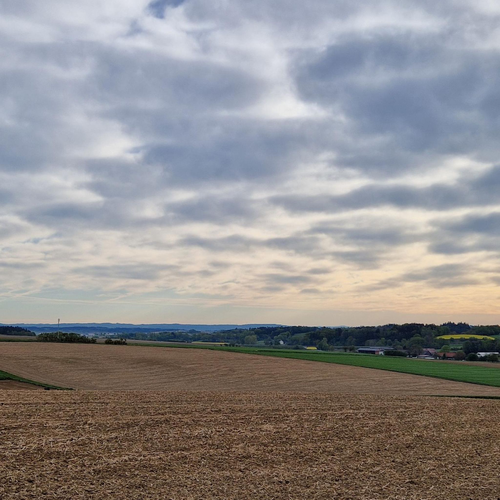
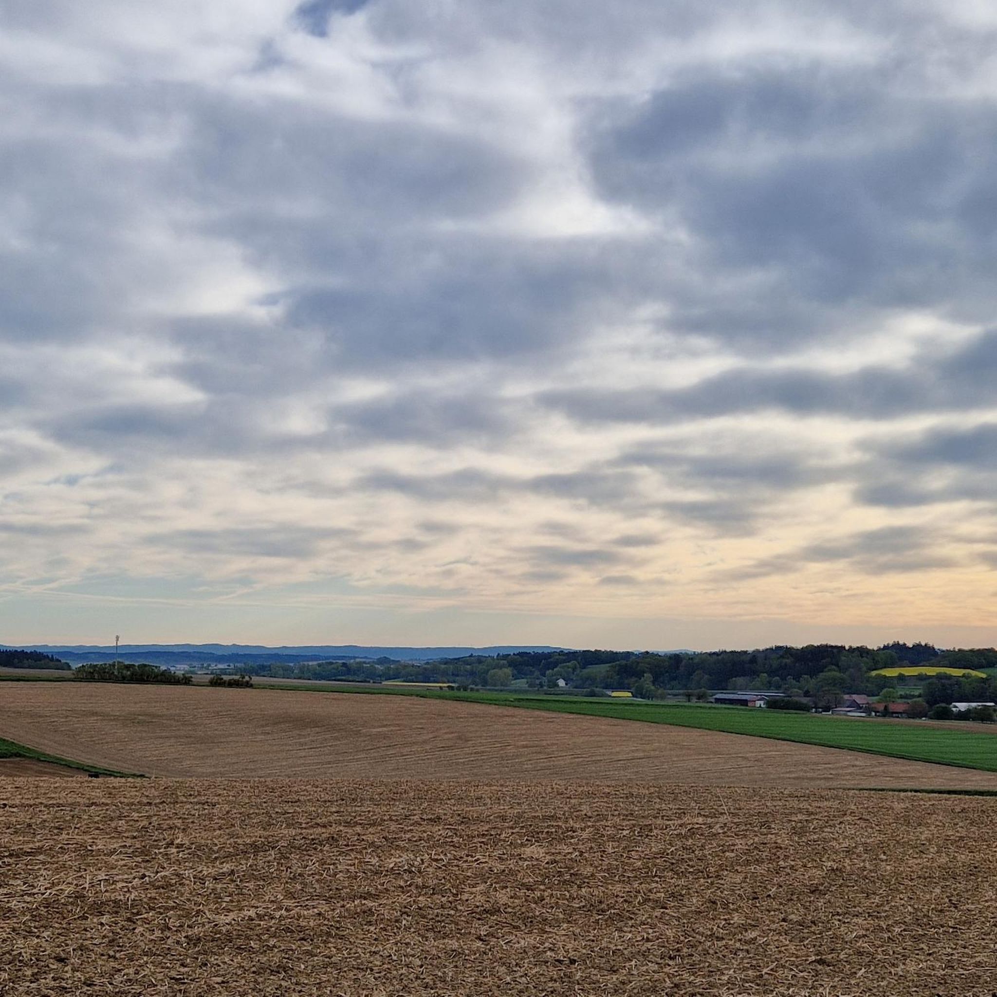
Road cycling routes in Untereichet are situated within a region characterized by rolling hills, forests, and agrarian countryside. The area offers a network of well-maintained asphalt roads suitable for road cyclists. Terrain varies from gentle gradients along river paths to routes with notable elevation gains. This landscape provides diverse opportunities for road cycling.
Best road cycling routes in Untereichet
- The most popular road cycling route is Oberbirnbach Chapel – Section Through Herrngiersdorf loop from Schierling, an 18.8 miles (30.3…
Last updated: August 28, 2026
5.0
(1)
17
riders
30.1km
01:18
180m
180m
Easy road ride. Great for any fitness level. Mostly well-paved surfaces and easy to ride.
13
riders
Moderate road ride. Good fitness required. Some segments of this route may be unpaved and difficult to ride.

Sign up for free
18
riders
40.1km
01:39
230m
230m
Easy road ride. Great for any fitness level. Mostly well-paved surfaces and easy to ride.
4.6
(5)
18
riders
42.1km
01:44
260m
260m
Easy road ride. Great for any fitness level. Mostly well-paved surfaces and easy to ride.
9
riders
28.6km
01:16
250m
250m
Easy road ride. Great for any fitness level. Mostly well-paved surfaces and easy to ride.
Get access to more routes and recommendations from other explorers.
Sign up for free
Already have an account?
Our route recommendations are based on thousands of hikes, rides, and runs completed by other people on komoot.
Start today with a free account
Your next adventure awaits.
Login or Signup
Tips from the Community

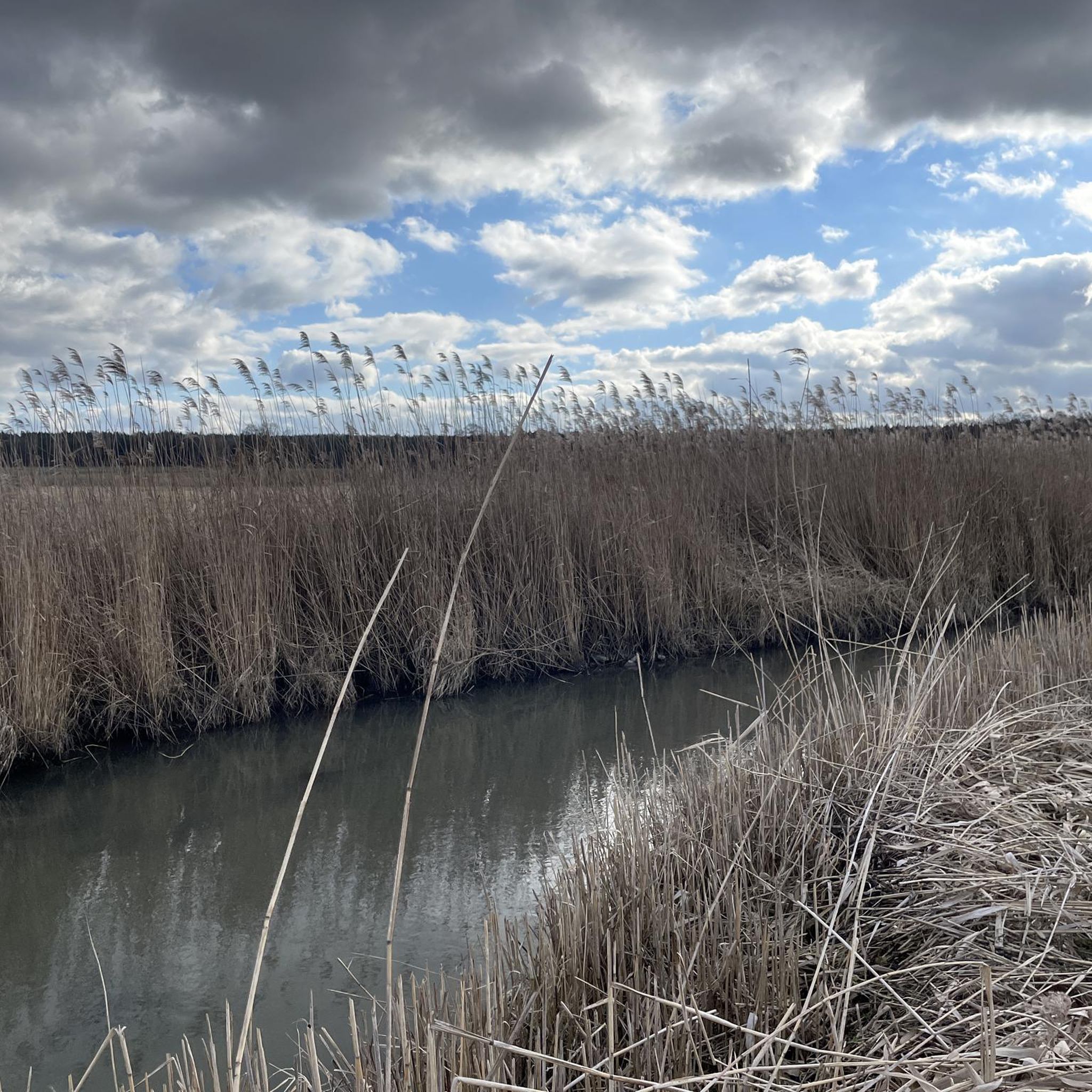
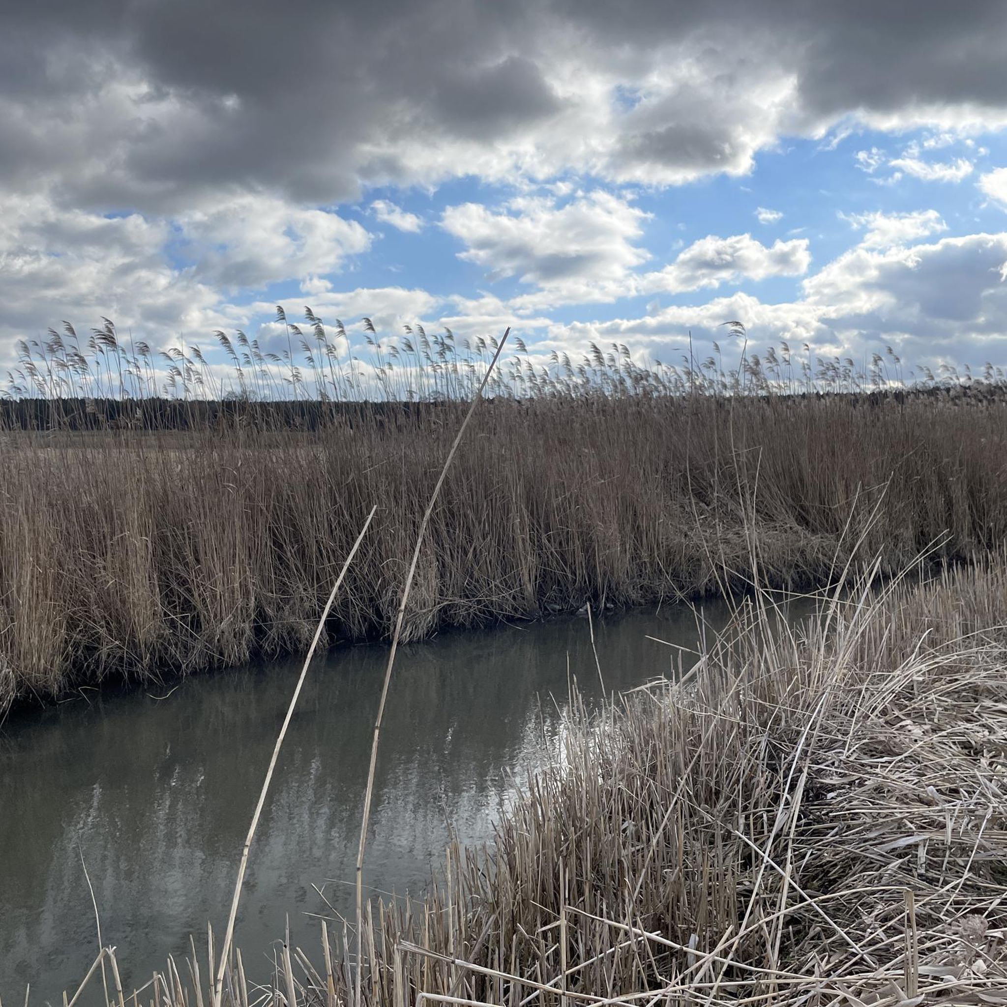
Beautiful pond with duck houses in the water
0
0

Great racing bike section
1
0

Small chapel with tower and onion dome
0
0
Quiet district road between Allersdorf and Birnbach with good asphalt
0
0
Hall church with retracted choir from 1731. Flank tower with pointed helmet from the 2nd half of the 13th century
0
0
Quiet, well-paved connecting road between Schierling and Allersdorf
0
0
Unadorned modern church with a tower and gable roof
0
0
Official house, also called Zollhof. Castle-like hipped roof house with bay tower from the 17th/18th Century. Remnant of the old wall with shell towers from the 16th/17th. Century. Privately owned
0
0
Frequently Asked Questions
How many road cycling routes are available in Untereichet?
Untereichet offers a wide selection of road cycling routes, with over 120 tours available. These routes cater to various skill levels, ranging from easy to challenging, allowing cyclists to explore the diverse landscapes of the region.
Are there road cycling routes suitable for beginners or families in Untereichet?
Yes, Untereichet has numerous options for less experienced cyclists and families. There are 47 easy-rated road cycling routes. These often feature gentler gradients and traverse picturesque agrarian countryside, providing a pleasant and accessible experience. For example, the Oberbirnbach Chapel – Section Through Herrngiersdorf loop from Schierling is an easy route with a gentle elevation gain.
What kind of terrain can I expect on road cycling routes in Untereichet?
The terrain in Untereichet is quite varied. Depending on whether you are near Freilassing (Upper Bavaria) or Fürstenzell (Lower Bavaria), you'll encounter rolling hills, dense forests, and expansive agrarian landscapes. Some routes offer significant climbs, especially in Upper Bavaria towards the Bavarian Alps, while others provide more leisurely rides along river paths like the Inn Cycle Path or Danube-Ilz Cycle Path.
Are there any challenging road cycling routes for advanced cyclists?
Absolutely. While many routes are easy or moderate, Untereichet also features routes with notable elevation gains for advanced cyclists. There are 2 difficult-rated routes, and many of the 76 moderate routes also include significant climbs, particularly in the hilly regions. These routes often lead through scenic forests and offer rewarding views.
What do other road cyclists enjoy most about road cycling in Untereichet?
The komoot community highly rates road cycling in Untereichet, with an average score of 4.6 stars from over 50 reviews. Cyclists often praise the well-maintained asphalt roads, the diverse scenery ranging from quiet woodlands to open agrarian fields, and the variety of routes that accommodate different fitness levels.
Are there any circular road cycling routes in Untereichet?
Yes, many of the road cycling routes in Untereichet are designed as loops, allowing you to start and end at the same point. Examples include the Hohenthann–Untergambach Road – Drinking Water Fountain loop from Schierling, which is a moderate 34.1-mile (54.8 km) path, and the Oberbirnbach Chapel – Schloss Adlhausen loop from Schierling, a 25.0-mile (40.3 km) trail.
What are some scenic viewpoints or attractions along the road cycling routes?
The region offers numerous scenic points. Near Freilassing, routes can provide majestic mountain backdrops of the Bavarian Alps and views along the Saalach River. Near Fürstenzell, you'll find tranquil forests, charming small lakes, and impressive rivers. While specific highlights are not listed, the broader area includes cultural attractions like the historic center of Salzburg or Passau Old Town, which can be incorporated into longer tours or visited after your ride.
Can I find places to stop for refreshments or cafes along the routes?
While specific cafe stops are not detailed in the route descriptions, the agrarian countryside and small villages you'll pass through often feature local inns or cafes. Planning your route to pass through larger towns like Freilassing or Fürstenzell will provide more guaranteed options for refreshments and breaks.
What is the best time of year for road cycling in Untereichet?
Summer is generally an excellent time for road cycling in Untereichet, offering pleasant weather conditions for exploring the region's diverse landscapes. Spring and autumn also provide beautiful scenery with milder temperatures, though it's always advisable to check local weather forecasts before heading out.
Are there options for parking near the road cycling routes?
Many road cycling routes in Untereichet, particularly those starting from towns like Schierling, offer convenient parking options. It's common to find designated parking areas in or near the starting points of popular routes, especially in smaller communities that cater to outdoor enthusiasts.
How long are the road cycling routes in Untereichet?
The routes in Untereichet vary significantly in length. You can find shorter rides, such as the Roadbike loop from Schierling at 17.8 miles (28.6 km), which takes about 1 hour 15 minutes. Longer routes, like the Hohenthann–Untergambach Road – Drinking Water Fountain loop from Schierling, extend to 34.1 miles (54.8 km) and can take over 2 hours to complete, offering options for various endurance levels.
Are there any unique regional cycle paths near Untereichet?
Yes, depending on the Untereichet location. Near Fürstenzell, you can access sections of the Inn Cycle Path and the Danube-Ilz Cycle Path, which offer scenic riverine cycling experiences. Near Freilassing, routes can connect to paths along the Saalach River, leading towards Salzburg, Austria.
Most popular routes in Untereichet

Get inspired with the komoot mobile app


Explore more
Browse the best Road cycling routes in other regions.
