The best mountain hikes in Im Biendl
5.0
(4)
39
hikers
9
hikes
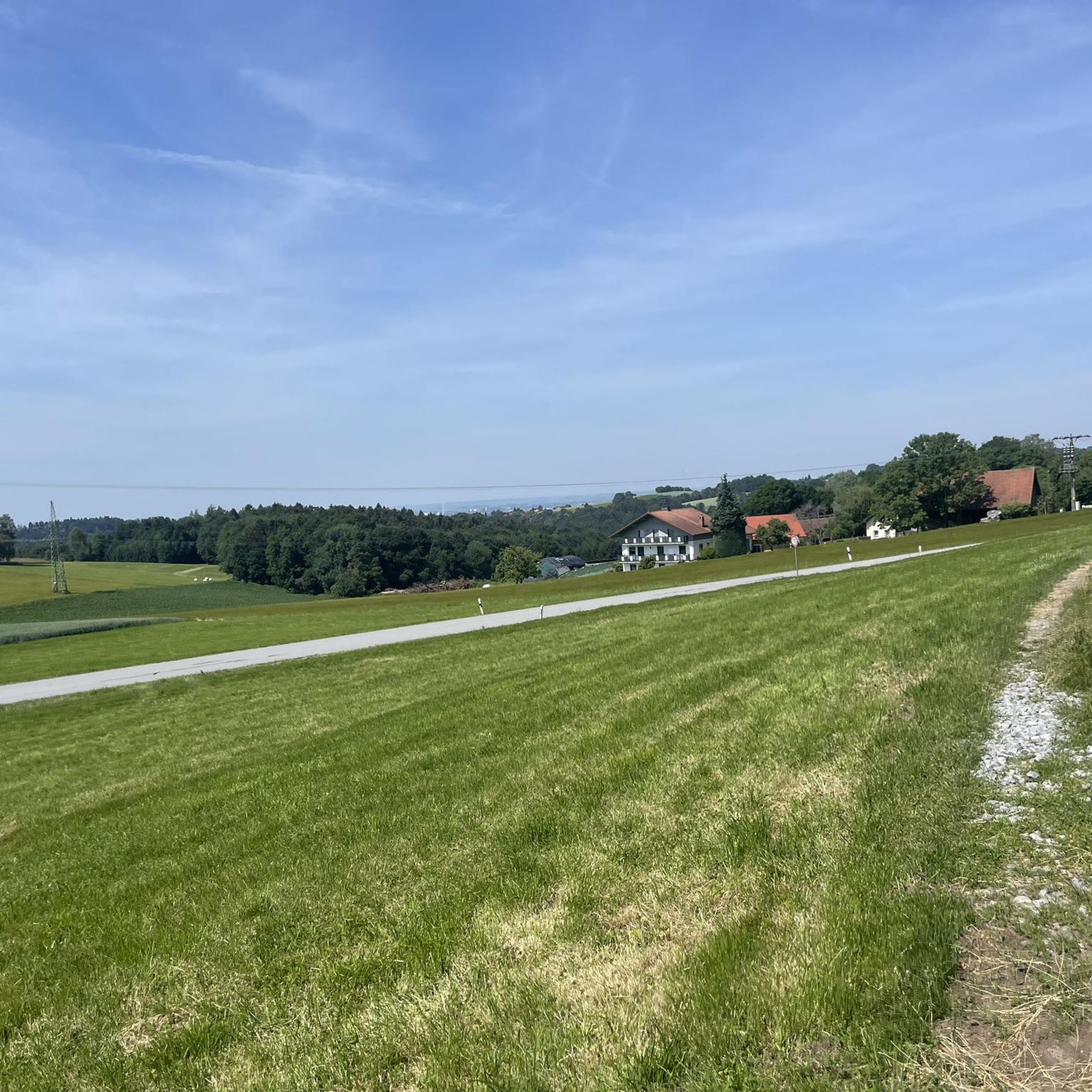
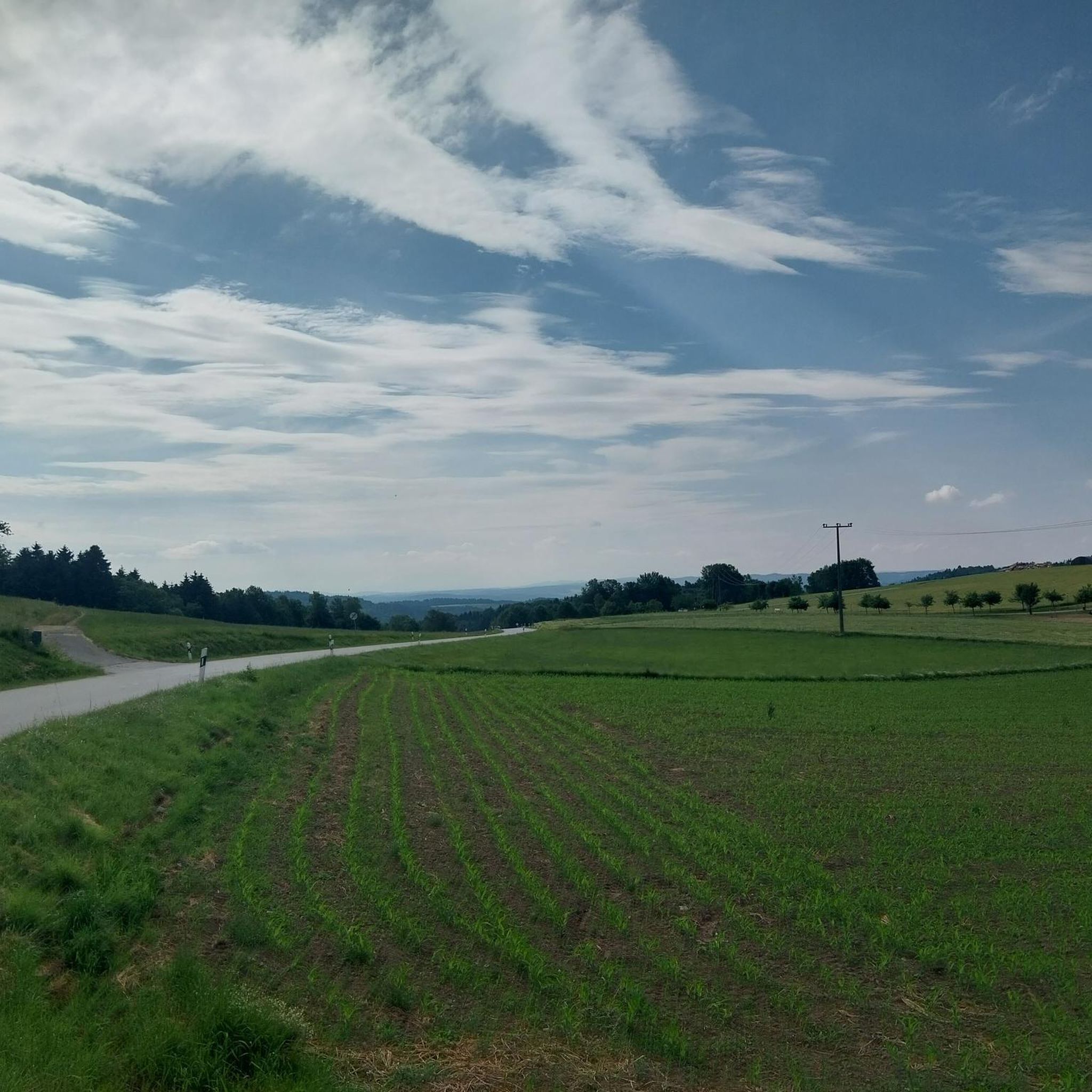
Mountaineering routes Im Biendl are situated within a region characterized by forested hills and distinct summits, offering varied terrain for outdoor exploration. The landscape features a mix of dense woodlands, open ridge sections, and elevated viewpoints. Elevations typically range across several hundred meters, providing opportunities for sustained ascents and descents.
Best mountaineering routes in Im Biendl
- The most popular mountaineering route is Breitenauriegel Summit – Geißkopf Summit and Bike Park loop from Ruselabsatz, a 9.6 miles (15.4 km) trail…
Last updated: July 5, 2026
5.0
(1)
12
hikers
Moderate mountaineering route. Good fitness required. Easily-accessible paths. Suitable for all skill levels.
5.0
(2)
4
hikers
13.6km
04:00
380m
380m
Moderate mountaineering route. Good fitness required. Easily-accessible paths. Suitable for all skill levels.

Sign up for free
4
hikers
16.0km
05:07
550m
550m
Hard mountaineering route. Very good fitness required. Mostly accessible paths. Sure-footedness required.
6
hikers
Moderate mountaineering route. Good fitness required. Mostly accessible paths. Sure-footedness required.
5.0
(1)
2
hikers
Moderate mountaineering route. Good fitness required. Mostly accessible paths. Sure-footedness required.
Get access to more routes and recommendations from other explorers.
Sign up for free
Already have an account?
Our route recommendations are based on thousands of hikes, rides, and runs completed by other people on komoot.
Start today with a free account
Your next adventure awaits.
Login or Signup
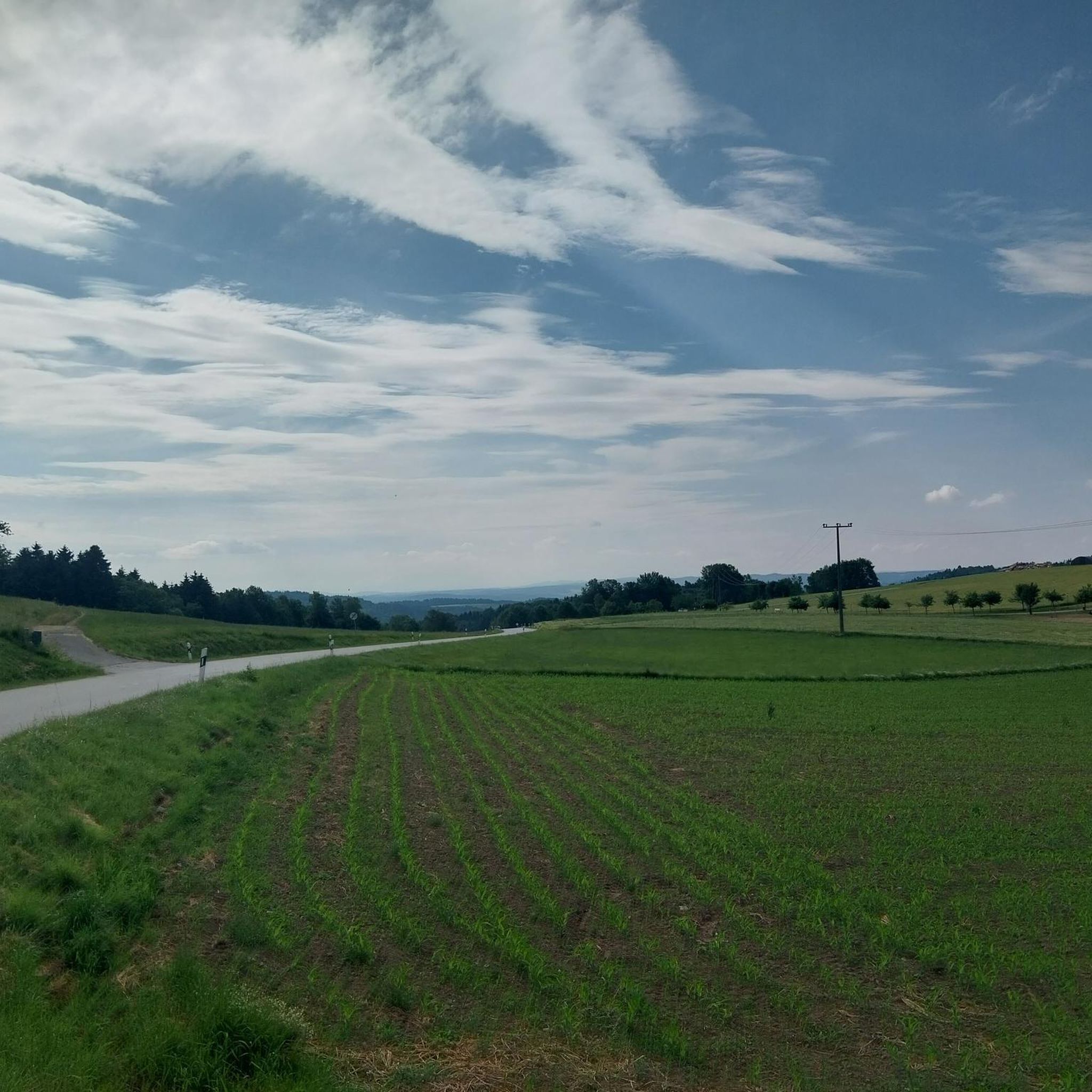
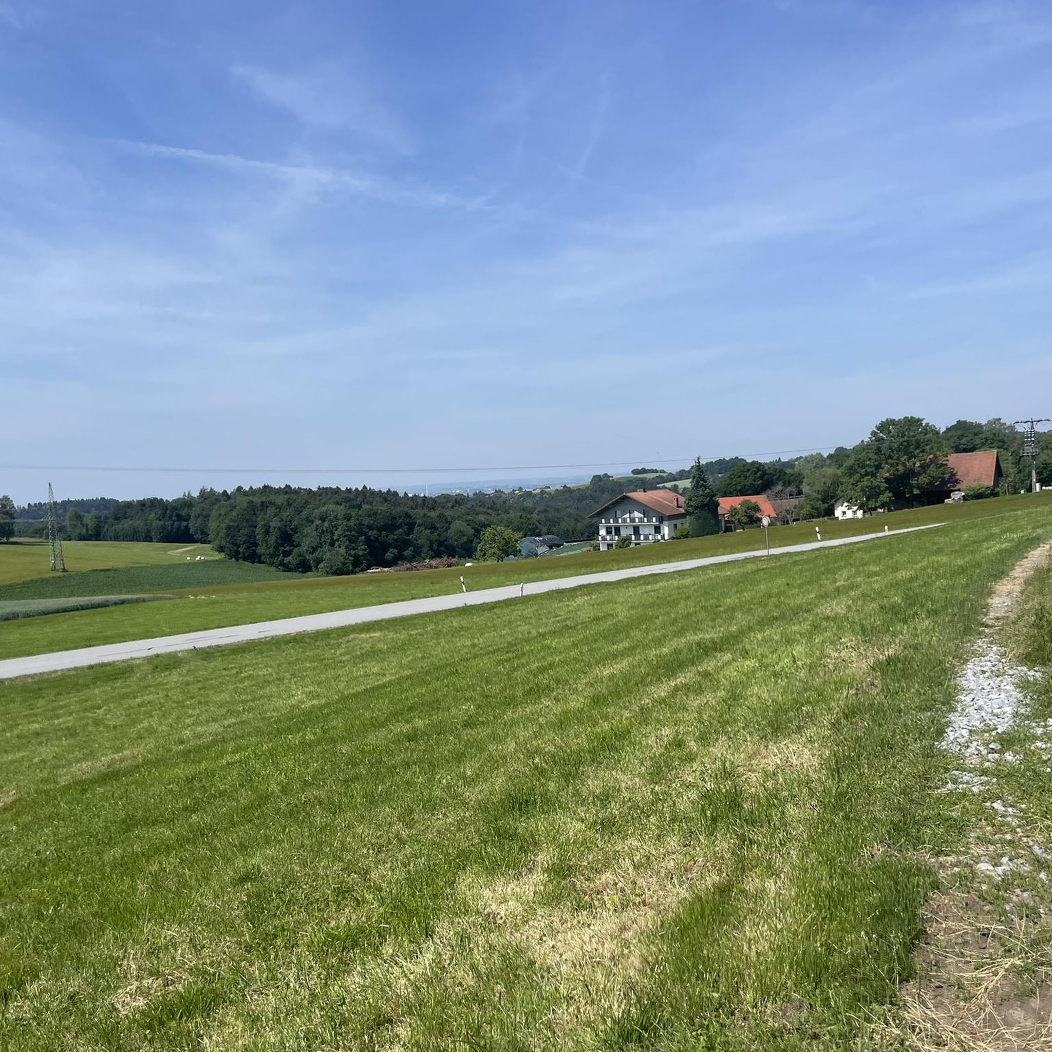
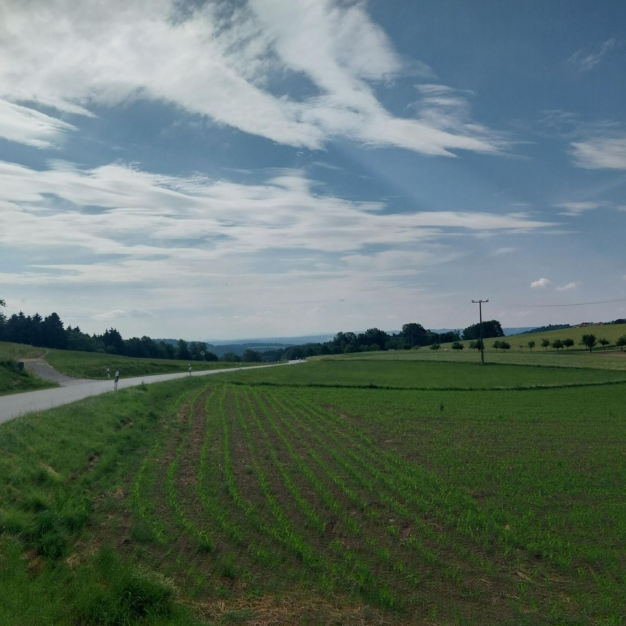
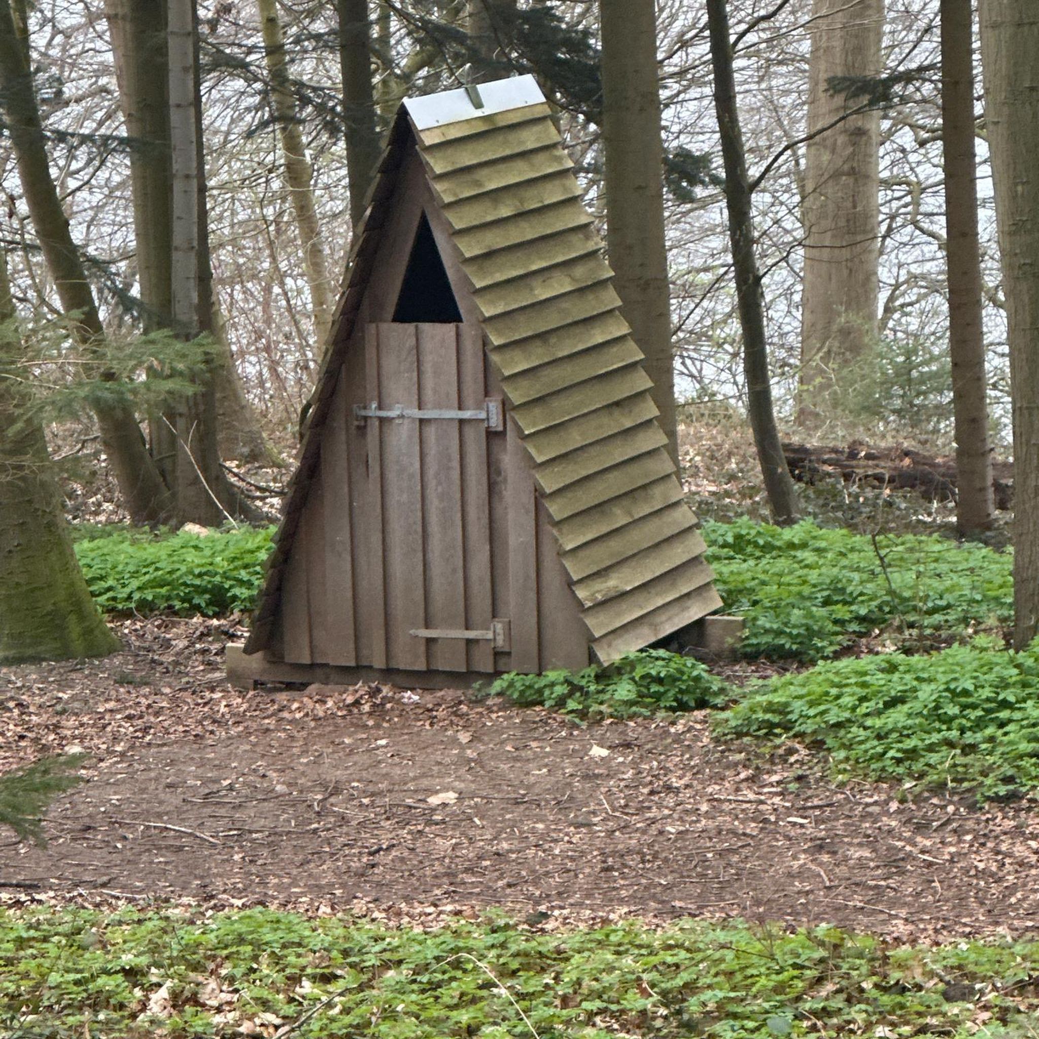
Tips from the Community

There are plenty of parking spaces, so it's a good starting point for a hike in the Bavarian Forest.
5
0

Kreuzfelsen viewpoint with an impressive view of the Danube's water loop.
4
0

Possibility to start a tour from here
3
0

The "Kreuzfelsen" vantage point on the Steinberg is a worthwhile stop. From here, you can enjoy a beautiful view down to the plains with Plattling and the Danube. On a clear day, you can even see as far as the Alps.
2
1

Be sure to climb the observation tower!
3
0

The wooden hand. There are several stories about it. Now the question is which is the right one?
1
0
The hiking car park is free, but fills up quickly when the weather is nice.
0
0
Perfect parking space, park and start. And as quickly as possible on good trails
2
0
Frequently Asked Questions
How many mountaineering routes are available in Im Biendl?
You'll find over 10 distinct mountaineering routes in Im Biendl, offering a variety of experiences across its forested hills and summits.
What are the difficulty levels of mountaineering routes in Im Biendl?
Im Biendl offers a range of difficulties, with 1 easy route, 8 moderate routes, and 2 challenging routes. This variety ensures there's something for every skill level, from leisurely ascents to more demanding climbs.
Are there any beginner-friendly mountaineering routes in Im Biendl?
While most routes are moderate, beginners can find suitable options. For instance, the Dreitannenriegel Summit – Dreitannenriegel Summit Cross loop from Schwallwiese is a moderate route that is shorter at 3.2 miles (5.2 km) and offers a good introduction to the region's terrain without being overly strenuous.
Are there any challenging routes for experienced mountaineers in Im Biendl?
Yes, experienced mountaineers can tackle more demanding routes. The region features 2 difficult routes, such as the Breitenauriegel Summit – Geißkopf Summit and Bike Park loop from Rohrmünz, which covers 9.9 miles (16 km) with significant elevation changes, providing a good test of endurance.
What is the best time of year for mountaineering in Im Biendl?
The forested nature of Im Biendl's routes makes them enjoyable throughout the warmer months, typically from late spring to early autumn. During this period, the trails are generally clear, and the weather is more stable, offering pleasant conditions for exploration.
Are there any circular mountaineering routes in Im Biendl?
Many of the routes in Im Biendl are designed as loops, allowing you to start and end at the same point. A popular example is the Ruselabsatz Pass – The wooden hand loop from Ruselabsatz, which offers a scenic 8.5-mile (13.6 km) journey through forested areas.
What interesting landmarks or attractions can I see along the mountaineering routes in Im Biendl?
As you explore Im Biendl, you might encounter several points of interest. Keep an eye out for the Schützinger Berg Summit Cross, or the unique Reichsautobahn ruins near Klessing, which offer a glimpse into the region's history. There are also various viewpoints, such as the View of Schützing and Rusel, providing panoramic vistas.
What do other mountaineers say about the routes in Im Biendl?
The komoot community highly rates the routes in Im Biendl, with an average score of 5.0 stars from 4 reviews. Mountaineers often appreciate the varied terrain, distinct summits, and the opportunity to explore both dense woodlands and open ridge sections.
Are there any facilities or rest stops available near the mountaineering routes?
While specific cafes directly on every route might be limited, you can find facilities in nearby areas. For example, the Wegbier & Wegwein Rest Stop on the Klessingrunde is a highlight that offers a place to pause and refresh during your tour.
How long do mountaineering routes in Im Biendl typically take to complete?
The duration of routes varies significantly based on distance and difficulty. Shorter, moderate loops like the Dreitannenriegel Summit – Dreitannenriegel Summit Cross loop can be completed in about 2 hours, while longer routes such as the Breitenauriegel Summit – Geißkopf Summit and Bike Park loop from Ruselabsatz may take over 4 hours.
Is parking readily available for accessing mountaineering routes in Im Biendl?
Many routes in Im Biendl, particularly those starting from popular access points like Ruselabsatz or Greising, typically have designated parking areas nearby. It's always advisable to check the specific route details on komoot for parking information relevant to your chosen starting point.
Most popular routes in Im Biendl
Most popular attractions in Im Biendl

Get inspired with the komoot mobile app


Explore more
Browse the best Mountain Hikes & Routes in other regions.
