The best walks and hikes around Goldisthal
4.5
(9354)
30,504
hikers
26
hikes
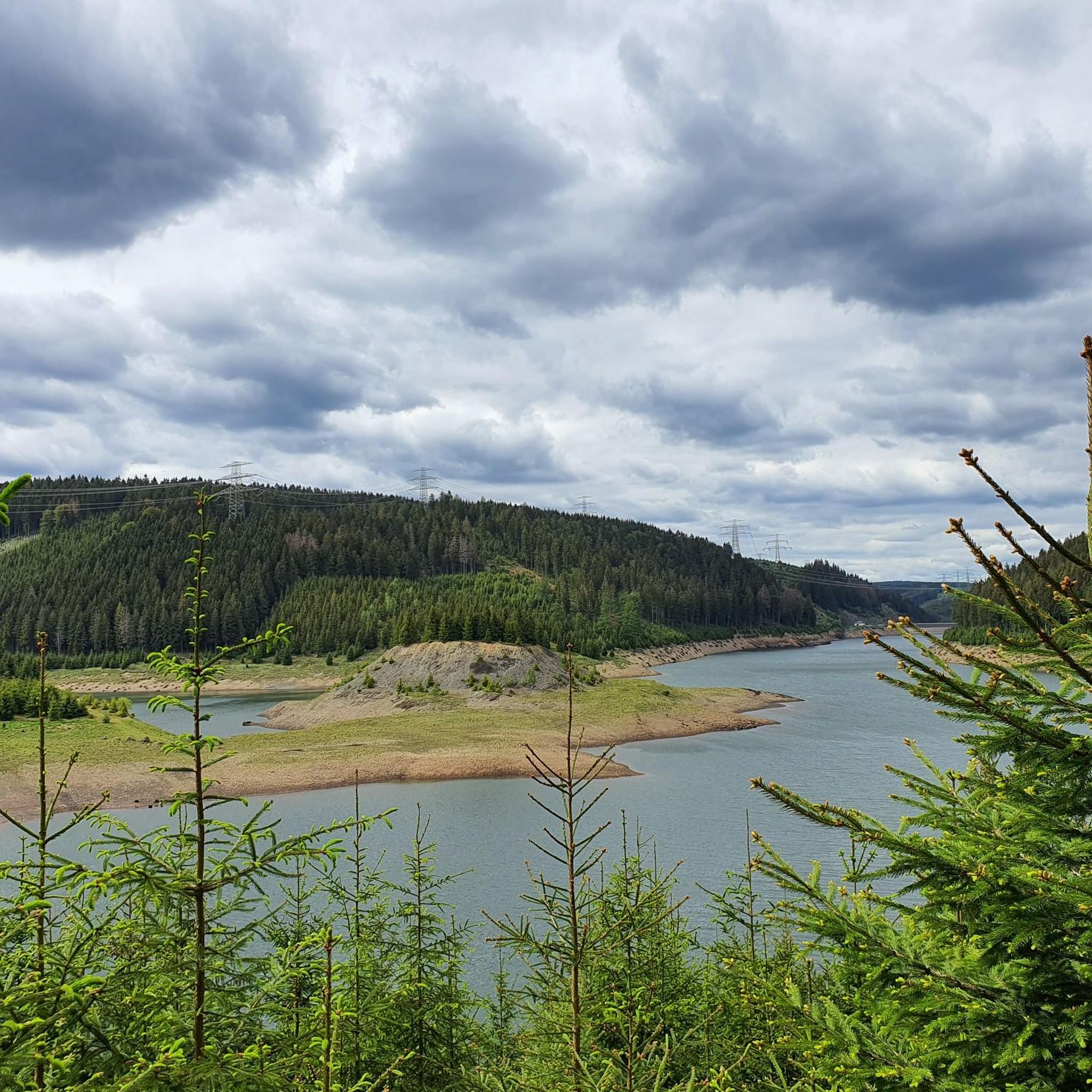
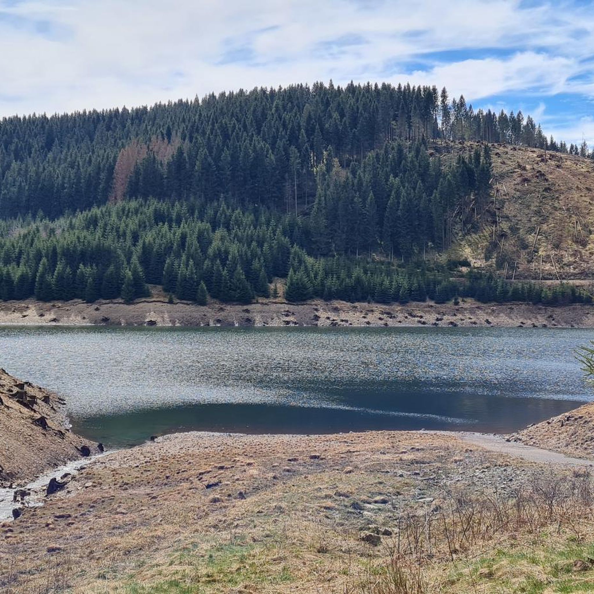
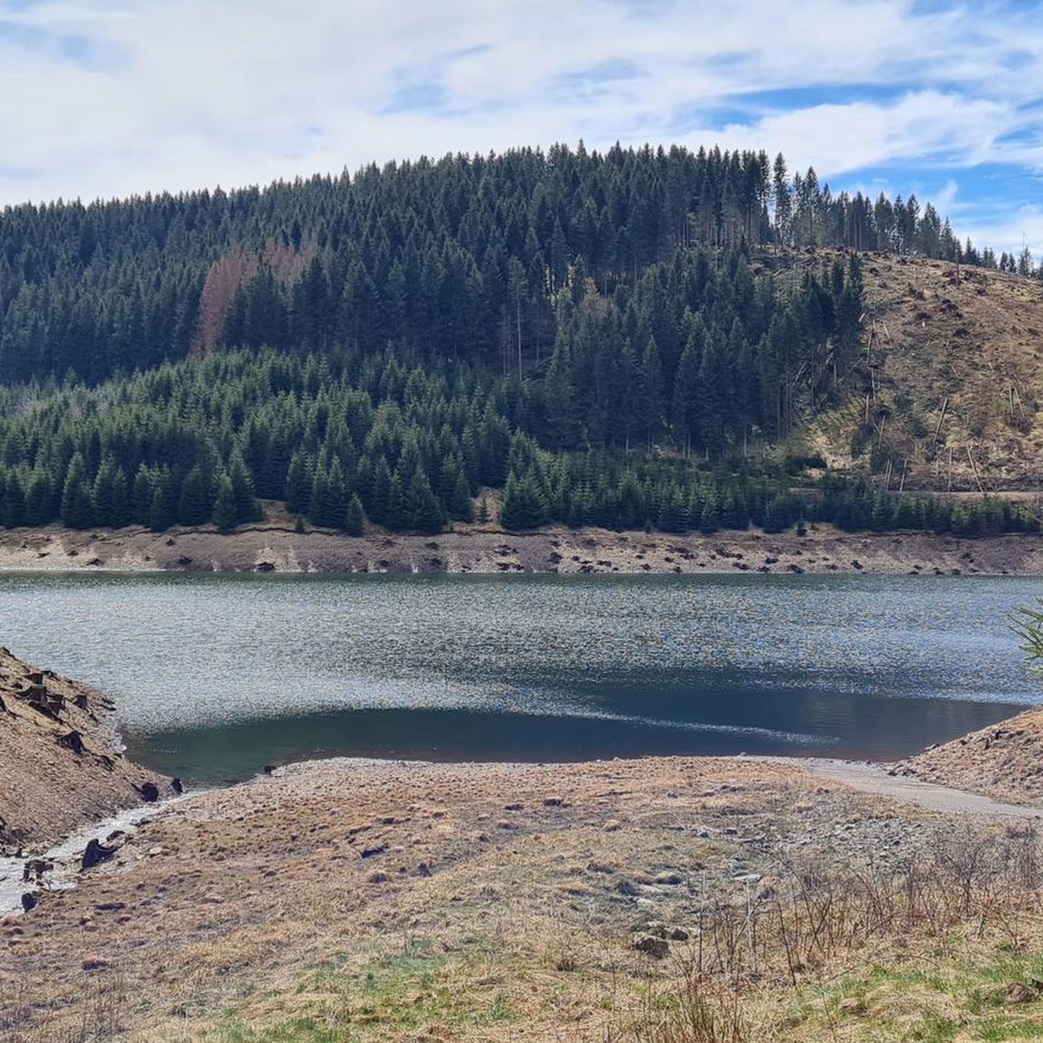
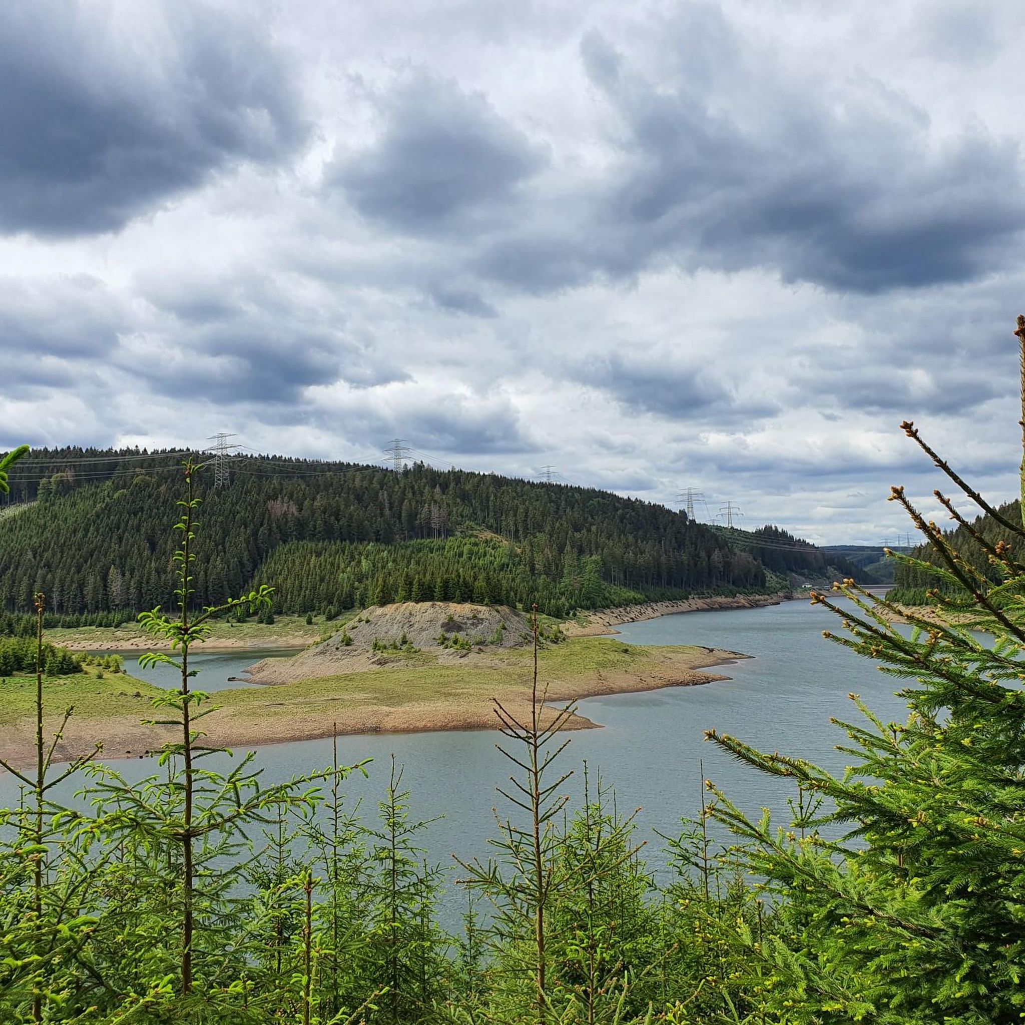
Hiking around Goldisthal, situated within the diverse landscapes of Thuringia, Germany, offers varied terrain for outdoor activities. The region is embedded in the Thuringian Forest, a predominantly forested mountain range with diverse topography. Large dams, such as the Goldisthal Pumped Storage Station and Talsperre Schönbrunn, create picturesque reservoir landscapes often surrounded by hiking paths. Viewpoints like the Rennsteigwarte on Eselsberg and the Blessberg Observation Tower provide extensive panoramas over the forest and beyond.
Best hiking trails around Goldisthal
- The most…
Last updated: September 29, 2026
4.6
(173)
517
hikers
16.5km
05:06
550m
550m
Hard hike. Very good fitness required. Mostly accessible paths. Sure-footedness required.
4.1
(66)
193
hikers
Easy hike. Great for any fitness level. Easily-accessible paths. Suitable for all skill levels.

4.4
(56)
252
hikers
Easy hike. Great for any fitness level. Easily-accessible paths. Suitable for all skill levels.
4.4
(8)
33
hikers
11.0km
03:23
390m
390m
Moderate hike. Good fitness required. Mostly accessible paths. Sure-footedness required.
3.8
(9)
17
hikers
Moderate hike. Good fitness required. Mostly accessible paths. Sure-footedness required.
Get access to more routes and recommendations from other explorers.
Already have an account?
Our route recommendations are based on thousands of hikes, rides, and runs completed by other people on komoot.
Start today with a free account
Your next adventure awaits.


Other adventures around Goldisthal

Tips from the Community


Superb structure in a very beautiful area.
0
0

Great view and you can follow the course of the Rennsteig
0
0

You can only ride short distances up to the fore-dam, otherwise, for safety reasons, push the bike 🤔
0
0

The House of Nature in Goldisthal is a fascinating museum nestled in the beautiful landscape of the Thuringian Forest. It offers an interactive exhibition on the region's flora, fauna, and hydropower, inviting you to experience nature with all your senses.
2
0

I found the view of the dam quite disappointing. Thuringia has much more beautiful things to offer. Apart from the reservoir, you can constantly see power lines and thick steel pylons. These are an eyesore on the lake and its natural surroundings.
0
0

Sometimes you wonder... A house gets a stamp, but the technical masterpiece that is the Goldisthal pumped storage power plant does not.
2
0

Strictly speaking, it is not a dam but a reservoir.
0
0
Frequently Asked Questions
How many hiking trails are available around Goldisthal?
There are over 25 hiking trails around Goldisthal, offering a diverse range of experiences. These include 4 easy routes, 18 moderate routes, and 4 difficult routes, catering to various fitness levels.
What kind of terrain can I expect on hikes in Goldisthal?
Hiking around Goldisthal is characterized by the dense woodlands of the Thuringian Forest, scenic reservoir paths, and elevated viewpoints. The diverse topography means you'll encounter varied forest terrain, paths along the edges of large dams like the Goldisthal Pumped Storage Station, and ascents to panoramic vistas.
Are there any easy or family-friendly hiking options in Goldisthal?
Yes, Goldisthal offers several easy routes suitable for families or those seeking a more relaxed walk. An example is the Goldisthal Upper Reservoir – Goldisthal Upper Reservoir loop from Wurzelbergfarmde, which is 6.5 km long and takes about 1 hour 45 minutes. Another easy option is the View from the Upper Basin – View of Farmdenkopfbecken loop from Wurzelbergfarmde, a 3.1 km trail.
What are some notable viewpoints or natural features to see while hiking?
The region boasts several impressive viewpoints and natural features. You can enjoy magnificent panoramas from the Rennsteigwarte on Eselsberg or breathtaking views over the Thuringian Forest from the Blessberg Observation Tower. The Werra Spring near Fehrenbach, one of the sources of the Werra River, is also a significant natural landmark.
Are there any circular hiking routes in Goldisthal?
Many of the trails in Goldisthal are circular, allowing you to start and end at the same point. For instance, the challenging Goldisthal Upper Reservoir – Roitenberg Viewpoint Rest Area loop from Wurzelbergfarmde is a 16.4 km circular route with expansive views. A moderate circular option is the View of Goldisthal Reservoir – View of Farmdenkopfbecken loop from Goldisthal, covering 14.2 km.
What do other hikers say about the trails in Goldisthal?
The hiking trails in Goldisthal are highly regarded by the komoot community, with an average rating of 4.5 stars from over 2,600 reviews. Hikers often praise the diverse landscapes, the well-maintained paths, and the stunning views from elevated points, particularly around the reservoirs and through the Thuringian Forest.
Is Goldisthal a good destination for winter hiking?
While the region is primarily known for hiking in warmer months, the Fellberg area, near Goldisthal, transforms into a destination for skiing and cross-country skiing in winter. Some trails might be suitable for winter hiking, but conditions can vary, so it's advisable to check local weather and trail reports before heading out.
Are there any places to eat or rest along the trails?
Yes, some areas offer opportunities for refreshments. For example, near the Werra Spring, there's a hut where visitors can refill water bottles and enjoy Thuringian delicacies. The Fellbergbaude on the Fellberg also provides a wonderful vista and a place to stop for refreshments.
What are the options for public transport to Goldisthal hiking trails?
Goldisthal is situated within Thuringia, Germany. While specific public transport links directly to trailheads might be limited, regional bus services connect smaller towns. It's recommended to check local transport schedules for connections to Goldisthal or nearby villages that serve as starting points for hikes.
Are there any historical landmarks or cultural attractions nearby?
Beyond natural beauty, the region has historical points of interest. You can explore sites like Eisfeld Castle or the Schaumburg Castle Ruins. The Eisfeld Old Town also offers a glimpse into the area's heritage.
What is the best time of year to go hiking in Goldisthal?
The best time to hike in Goldisthal is generally from spring through autumn (April to October) when the weather is mild, and the Thuringian Forest is lush. This period offers ideal conditions for enjoying the varied terrain, reservoir views, and elevated panoramas.
Most popular attractions around Goldisthal

Get inspired with the komoot mobile app


Explore more
Browse the best Hikes in other regions.
