The best walks and hikes in Las Maziarnia
4.5
(40)
402
hikers
15
hikes
Hiking in Las Maziarnia, located within Poland's Ciężkowice Foothills, offers routes through a landscape characterized by undulating terrain and predominantly forested hills. The region features the Brzanka Range, home to Góra Pasia, and notable natural features like Ostry Kamień, a striking rock outcrop of Godula sandstone. Hikers can explore diverse topography, including peaks such as Liwecka Góra, providing varied natural environments.
Best hiking trails in Las Maziarnia
- The most popular hiking route is Diabli Kamień Rocks – Mountain Hut Brzanka…
Last updated: July 10, 2026
9
hikers
Easy hike. Great for any fitness level. Easily-accessible paths. Suitable for all skill levels.
12
hikers
5.49km
01:37
160m
160m
Easy hike. Great for any fitness level. Easily-accessible paths. Suitable for all skill levels.

Sign up for free
4.7
(6)
74
hikers
Moderate hike. Good fitness required. Easily-accessible paths. Suitable for all skill levels.
4.8
(6)
29
hikers
Moderate hike. Good fitness required. Easily-accessible paths. Suitable for all skill levels.
4.0
(3)
34
hikers
Moderate hike. Good fitness required. Easily-accessible paths. Suitable for all skill levels.
Get access to more routes and recommendations from other explorers.
Sign up for free
Already have an account?
Our route recommendations are based on thousands of hikes, rides, and runs completed by other people on komoot.
Start today with a free account
Your next adventure awaits.
Login or Signup

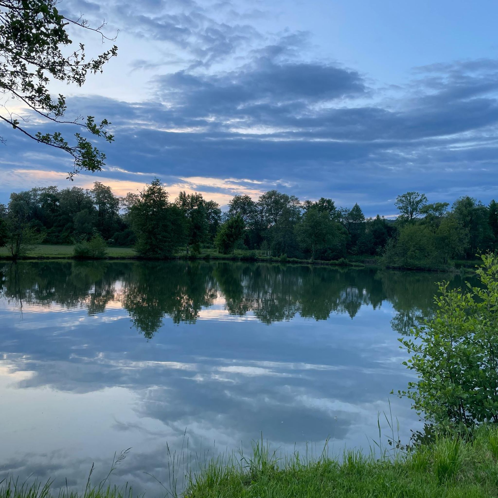
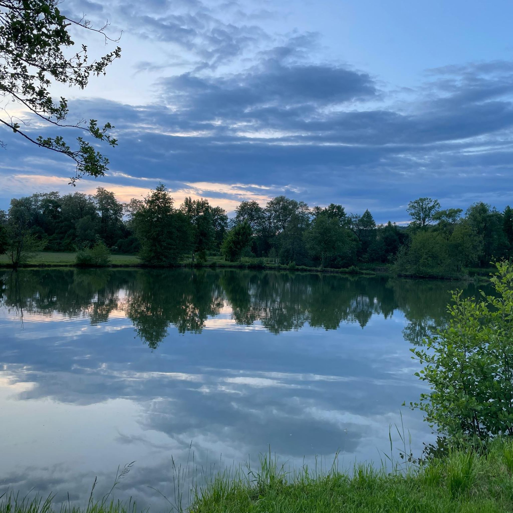
Tips from the Community

Unfortunately, on April 30, the bacówka on Brzanka ceased its operations.
0
0


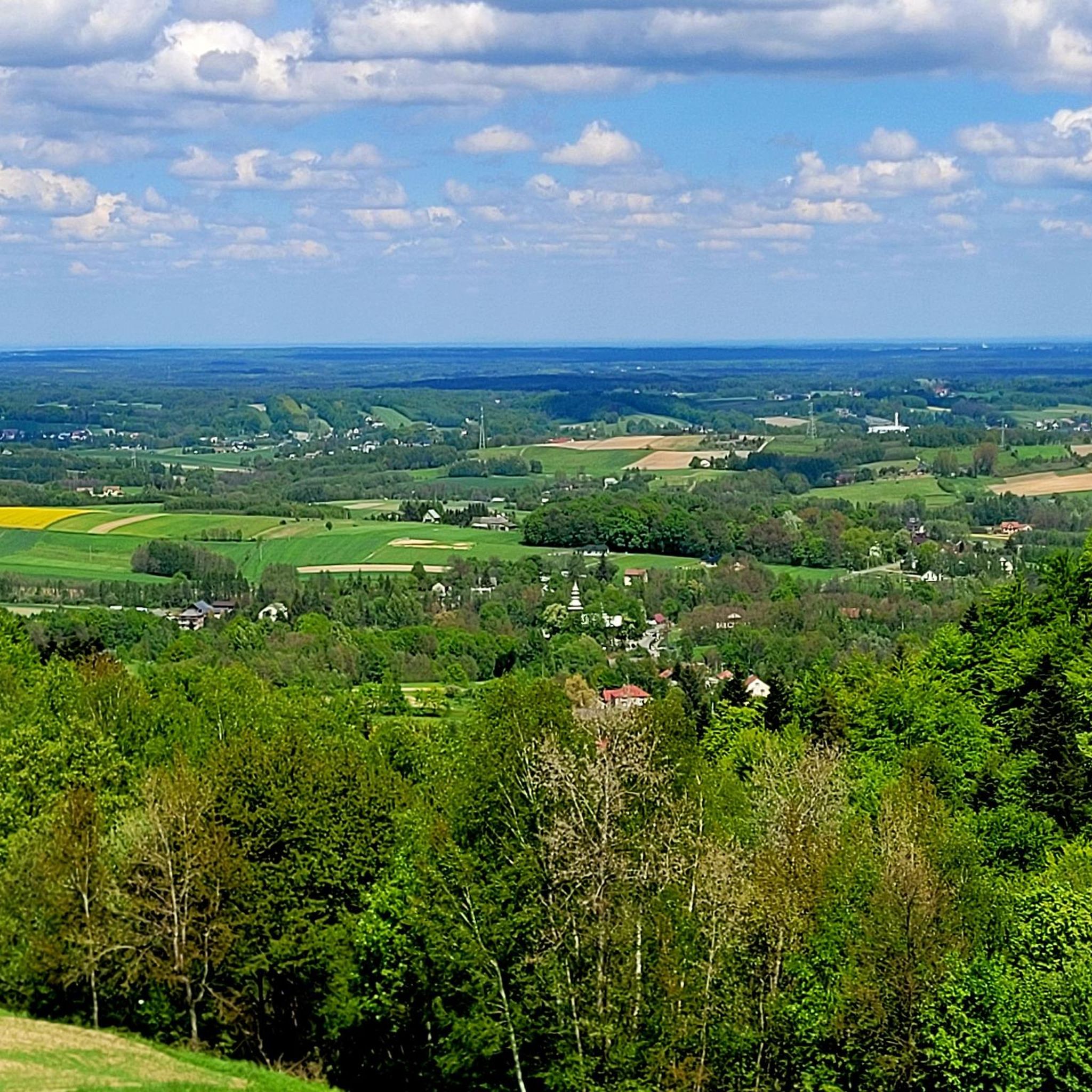
A great mountain shelter in Jodłówka Tucholska at an altitude of 508 m above sea level. You will eat well here and there are also accommodations - take a look at the mountain shelter's website http://www.brzanka.pl/ You are of course in a beautiful natural environment: beautiful green trees everywhere (in winter it will probably be snowy and white here), and the panorama from the top is so extraordinary that you are already being born into another Adam Mickiewicz! There is a great observation tower nearby, which of course you are already climbing.
1
0

A beautiful place to rest and sit. Tasty dishes at good prices.
0
0

Large shelter. Unfortunately quite heavily littered. Most likely a meeting place for cars. Next to it is a forester's lodge and the entrance to the educational trail.
0
0

Very nice place for the rest of the spot with a rocky top things
1
0
Frequently Asked Questions
How many hiking trails are available in Las Maziarnia?
Las Maziarnia offers a diverse network of over 20 hiking trails. These routes cater to various preferences, ranging from easy forest walks to more challenging climbs through the undulating terrain of the Ciężkowice Foothills.
What kind of terrain can I expect on the trails in Las Maziarnia?
The trails in Las Maziarnia primarily traverse the picturesque Ciężkowice Foothills, characterized by undulating terrain and predominantly forested hills. You'll encounter paths through dense forests, ascents in the Brzanka Range, and unique geological formations like the striking rock outcrop of Ostry Kamień.
Are there any notable natural landmarks or viewpoints to see while hiking?
Yes, a significant natural attraction is Ostry Kamień, a striking rock outcrop on the ridge of Góra Pasia. This natural monument, composed of Godula sandstone, offers impressive formations and scenic views. Other notable peaks like Liwecka Góra also provide panoramic vistas of the surrounding landscape.
Are there any easy hiking trails suitable for beginners or casual walkers?
Absolutely. Las Maziarnia features 13 easy trails. For a gentle forest walk, consider the Forest Parking with Shelter loop from Cmentarz wojenny nr 164 – Tuchów, which is just over 4 km long with minimal elevation gain.
What do other hikers enjoy most about the trails in Las Maziarnia?
The trails in Las Maziarnia are highly rated by the komoot community, with an average score of 4.3 stars from over 40 reviews. Hikers often praise the serene forested paths, the diverse topography, and the unique natural features like Ostry Kamień.
Are there any circular hiking routes in Las Maziarnia?
Yes, many trails in Las Maziarnia are designed as loops. For example, the Mountain Hut Brzanka loop from Wiata LP is an easy 5.7 km circular route, perfect for experiencing the area's natural beauty.
Can I bring my dog on the hiking trails in Las Maziarnia?
Generally, dogs are welcome on hiking trails in forested areas like Las Maziarnia, especially if kept on a leash. It's always a good idea to ensure your dog is well-behaved and to clean up after them to maintain the natural environment for everyone.
Are there any family-friendly hiking options in Las Maziarnia?
Many of the easy and moderate trails are suitable for families. The predominantly forested paths offer a pleasant environment for children. Look for routes with shorter distances and less elevation gain, such as the Forest Parking with Shelter loop from Cmentarz wojenny nr 164 – Tuchów, which is an easy option.
What is the best time of year to go hiking in Las Maziarnia?
Las Maziarnia offers beautiful hiking experiences throughout the year. Autumn is particularly recommended when the forests display vibrant colors, and the occasional fog can create a magical atmosphere. Spring brings fresh greenery, while summer provides lush shade. Winter hikes can also be picturesque, though some paths might require more appropriate footwear.
Are there any longer, more challenging routes for experienced hikers?
While there are no trails classified as 'difficult' in our current data, experienced hikers can combine moderate routes for a longer challenge. The Diabli Kamień Rocks – Mountain Hut Brzanka loop from Park Krajobrazowy Pasma Brzanki is a moderate 12.7 km trail with over 360 meters of elevation gain, offering a good workout.
Where can I find parking for the hiking trails in Las Maziarnia?
Parking is typically available near trailheads or designated forest parking areas. For example, the Forest Parking with Shelter loop from Cmentarz wojenny nr 164 – Tuchów starts from a location with parking facilities, making it convenient for hikers.
Are there any routes that specifically lead to the Ostry Kamień rock formation?
Yes, you can hike directly to Ostry Kamień. The Ostry Kamień – Shepherd's Hut on Brzanka loop from Park Krajobrazowy Pasma Brzanki is a moderate 7.4 km trail that takes you through forested hills and directly past this impressive rock formation.
Most popular routes in Las Maziarnia

Get inspired with the komoot mobile app


Explore more
Browse the best Hikes in other regions.
