The best road cycling routes around Goldwörth
4.4
(493)
15,406
riders
253
rides
Road cycling around Goldwörth offers diverse terrain, characterized by its location on the banks of the Danube River within the Danube-Auen plain. The region features flat, scenic routes along the river, complemented by a beautiful lake area. Routes often extend into the Mühlviertel region, introducing varied topography that can include short climbs and farm roads with minimal motor vehicle traffic. This combination provides a range of road cycling experiences from riverside paths to more undulating sections.
Best road cycling routes…
Last updated: October 25, 2026
4.6
(16)
465
riders
Moderate road ride. Good fitness required. Mostly well-paved surfaces and easy to ride.
5.0
(3)
260
riders
54.5km
02:12
170m
170m
Moderate road ride. Good fitness required. Some segments of this route may be unpaved and difficult to ride.

4.8
(9)
355
riders
36.1km
01:51
520m
520m
Moderate road ride. Good fitness required. Some segments of this route may be unpaved and difficult to ride.
4.8
(5)
208
riders
Moderate road ride. Good fitness required. Mostly well-paved surfaces and easy to ride.
4.7
(3)
135
riders
106km
04:51
940m
940m
Hard road ride. Very good fitness required. Some segments of this route may be unpaved and difficult to ride.
Get access to more routes and recommendations from other explorers.
Already have an account?
Our route recommendations are based on thousands of hikes, rides, and runs completed by other people on komoot.
Start today with a free account
Your next adventure awaits.


Tips from the Community

The section of the Danube Cycle Path from Schlögener Schlinge to the hydroelectric power station (Kraftwerk Aschach/Ottensheim) offers a flat, safe route immersed in the nature of Upper Austria.
0
0

Aschach an der Donau is one of those places that you visit and immediately feel like you are in a postcard. It is one of the oldest and most charming market towns in Upper Austria (Eferding district) and is located directly on the great Danube loop. For centuries, Aschach was an important hub for shipping and trade. This is still reflected in the townscape today. The row of houses directly on the Danube promenade largely dates from the 16th century (Renaissance and Baroque). The facades are magnificently restored and a popular photo motif.
0
0

We enjoyed the ferry ride.
4
0

(still?) Hotel, was the venue for weddings and football club training camps, and a TV film was also shot here.
0
0

Ottensheim-Wilhering Power Plant and Lock! This impressive facility on the Danube plays an important role in energy generation and shipping. Here are some interesting aspects: ### General Information - **Location**: The power plant and lock are located in the municipality of **Wilhering** in **Upper Austria**. - **Year of Construction**: The power plant was built from **1970 to 1975** and is a run-of-river power plant. ### Technical Features 1. **Lock**: - The lock has **two lock chambers** measuring **230 × 24 m**. - It allows ships to pass through and overcomes the height difference in the river. 2. **Power Plant**: - The power plant has an **capacity** of approximately **30 MW** and uses the current of the Danube to generate electricity. - It is part of a project with **72 million euros** being invested to ensure the lifespan and efficiency of the power plant for another **50 years**. 3. **Water level**: - The river dam length is **16 km**, and the dam target is at an altitude of approximately **250 m**. ### Significance - **Energy generation**: The power plant contributes significantly to the region's electricity supply and is an important component of renewable energy sources in Austria. - **Shipping**: The lock is a central point for inland navigation on the Danube, enabling the transport of goods and passengers. ### Summary The **Ottensheim-Wilhering power plant and lock** are not only technical masterpieces, but also crucial elements for the energy supply and shipping in the region. A visit to this facility offers exciting insights into the world of hydropower and engineering! ✨
2
0

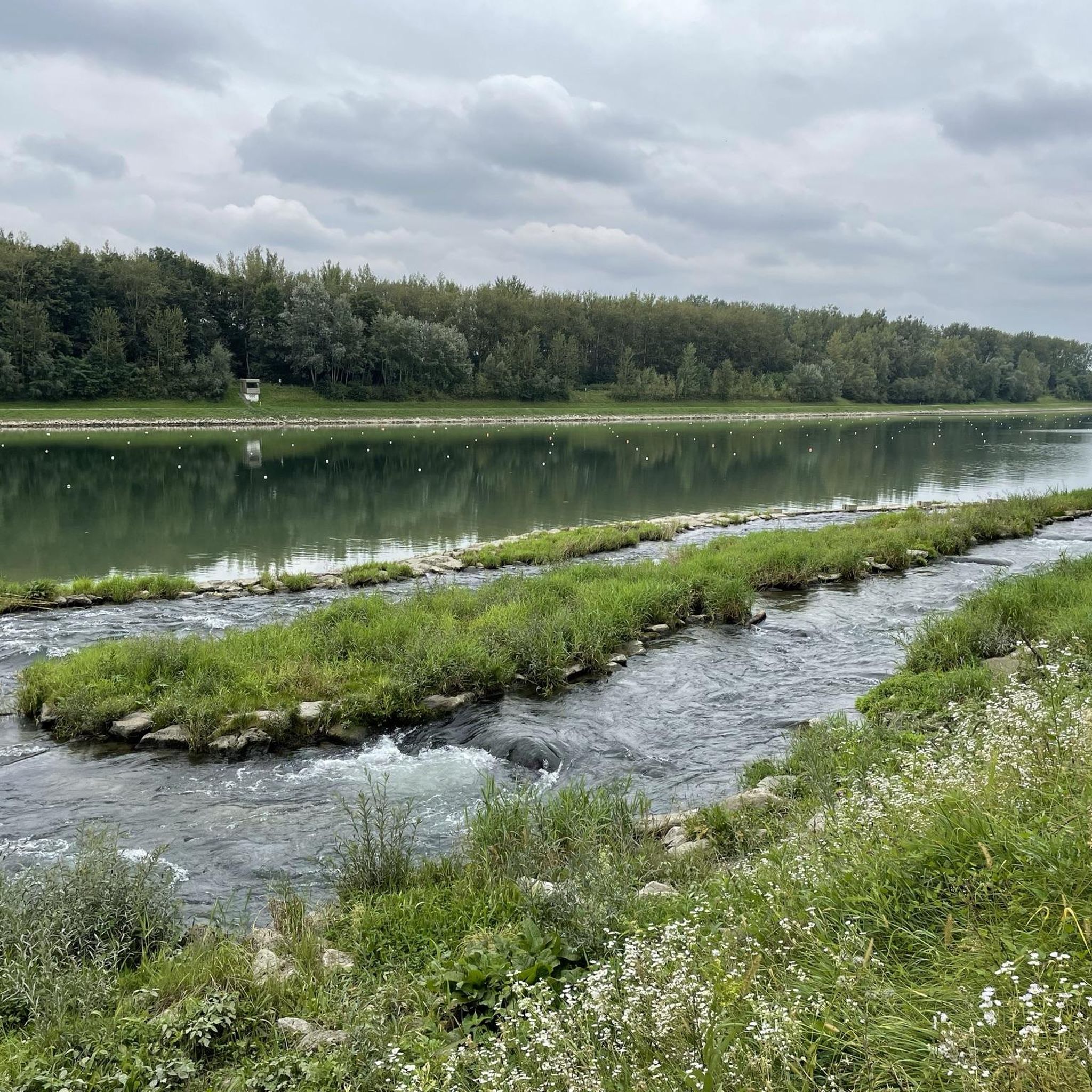
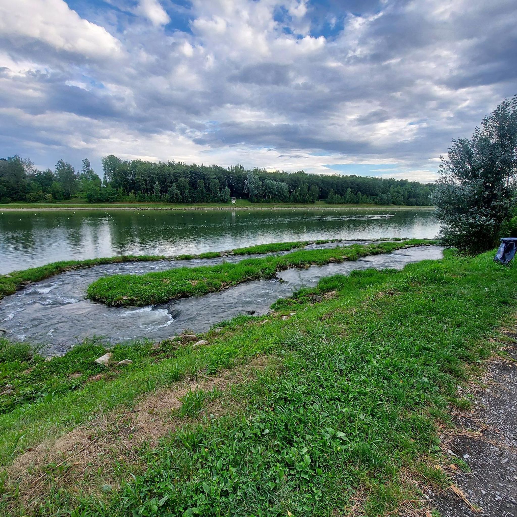
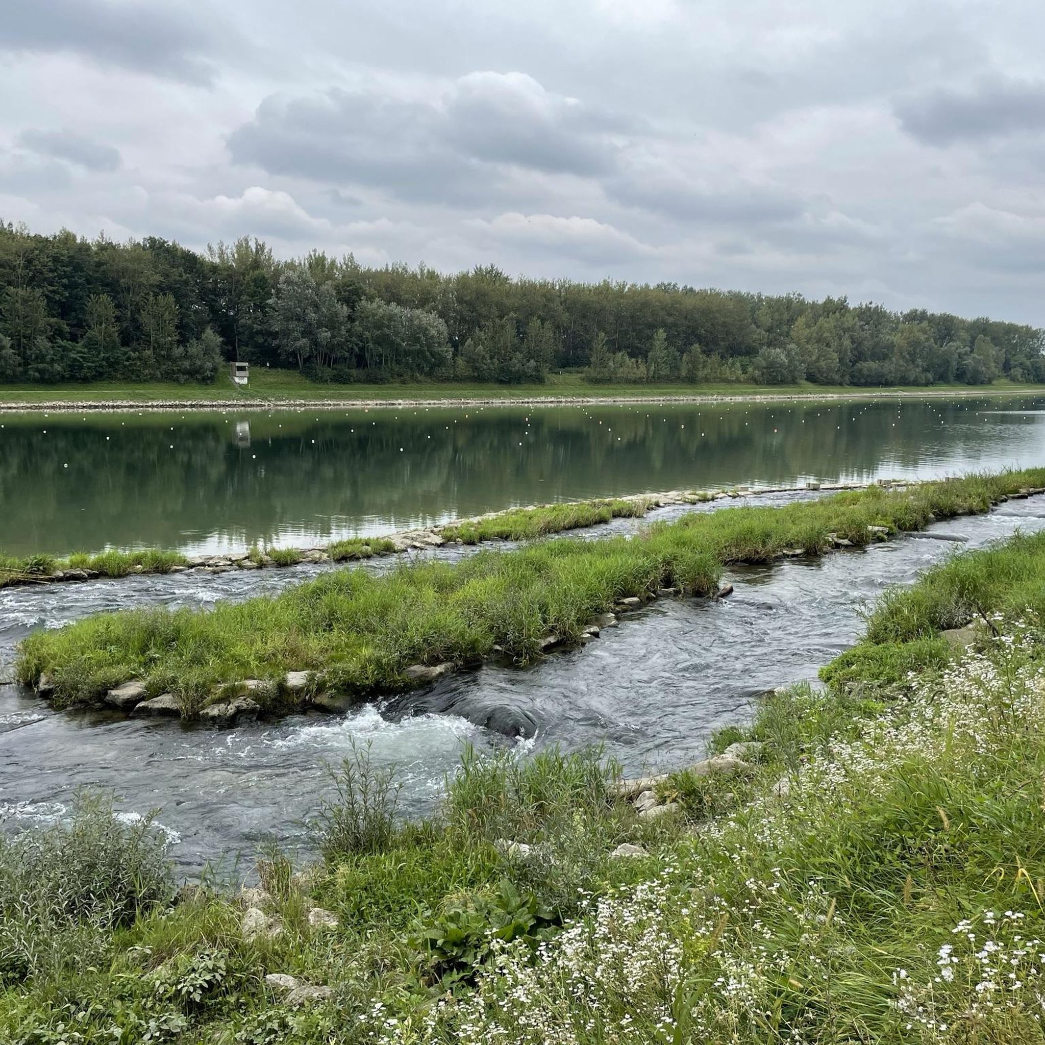
Great rest area with swimming and refreshment options on hot days on the Danube Cycle Path.
3
0
Many cafes and restaurants along the Danube, perfect for a break on your bike tour.
1
0

Frequently Asked Questions
What kind of terrain can I expect when road cycling around Goldwörth?
Road cycling around Goldwörth offers a diverse mix of terrain. You'll find flat, scenic routes along the Danube River and within the Danube-Auen plain, perfect for relaxed rides. Routes also extend into the Mühlviertel region, which introduces more varied topography, including short climbs and farm roads with minimal motor vehicle traffic, providing a moderate challenge.
How many road cycling routes are available in the Goldwörth area?
There are over 260 road cycling routes available around Goldwörth, catering to various skill levels. This includes 57 easy routes, 137 moderate routes, and 66 difficult routes, ensuring options for everyone from beginners to experienced cyclists.
What are some notable landmarks or attractions I can see along the road cycling routes?
While cycling, you can encounter various points of interest. The region features the majestic Danube River and the Danube-Auen plain. Some routes pass by historical sites like Schaunberg Castle Ruins or Aschach Castle. You might also pass by natural features such as the Feldkirchen Bathing Lake.
What is the best time of year for road cycling in Goldwörth?
The Goldwörth region is generally pleasant for road cycling from spring through autumn. The summer months offer warm weather, ideal for enjoying the Danube-Auen plain and lake areas. However, the exact best time depends on personal preference for temperature and crowd levels.
Are there any family-friendly road cycling routes in Goldwörth?
Yes, Goldwörth offers family-friendly options, particularly along the flat, scenic paths of the Danube River and within the Danube-Auen plain. These routes often feature minimal motor vehicle traffic, making them suitable for cyclists of all ages. Look for routes categorized as 'easy' for the most family-friendly experiences.
Where can I park my car when starting a road cycling tour in Goldwörth?
Goldwörth and its surrounding communities offer various parking options. Many routes start from villages or towns where public parking is available. Specific parking information is often detailed on individual route pages on komoot, or you can look for designated parking areas near popular starting points like the village square in Goldwörth.
Can I reach Goldwörth and its cycling routes using public transport with my bike?
Yes, public transport options are available in the broader Goldwörth region. The Danube Cycle Path, which passes through the area, is well-connected by regional trains and buses that often accommodate bicycles. It's advisable to check the specific public transport provider's regulations and schedules for bicycle transport in advance.
What do other road cyclists enjoy most about road cycling in Goldwörth?
The Goldwörth area is highly rated by the komoot community, with an average score of 4.6 stars from over 370 reviews. Cyclists often praise the diverse terrain, from the flat, scenic Danube paths to the more challenging sections in the Mühlviertel, as well as the minimal traffic on farm roads and the beautiful natural landscapes.
Are there any long-distance road cycling routes starting from or passing through Goldwörth?
Yes, Goldwörth is situated on the banks of the Danube River, which is part of the extensive Danube Cycle Path. This allows for long-distance cycling adventures. An example is the difficult Danube Cycle Path South Bank – Schlögen Loop loop from Alkoven, which covers over 100 km and features significant elevation gain.
Are there any circular road cycling routes available in Goldwörth?
Many of the road cycling routes around Goldwörth are designed as loops, allowing you to start and end at the same point. For instance, the moderate Ottensheim Castle – railway bridge loop from Ottensheim is a popular circular route that offers scenic views.
What kind of challenges can I expect on the more difficult road cycling routes?
The more difficult road cycling routes in Goldwörth, particularly those extending into the Mühlviertel region, can feature significant elevation gain and longer distances. For example, the difficult Danube Cycle Path South Bank – Schlögen Loop loop from Alkoven includes nearly 1000 meters of ascent, offering a substantial workout for experienced cyclists.
Can I find routes that combine riverside cycling with views of the surrounding hills?
Absolutely. Many routes in the Goldwörth area offer this combination. You can enjoy the flat, picturesque paths along the Danube River, and then transition into sections that climb into the fore-peaks above the Danube valley, providing expansive views. The region's location at the edge of the Mühlviertel ensures this varied scenery.
Most popular attractions around Goldwörth

Get inspired with the komoot mobile app


Explore more
Browse the best Road cycling routes in other regions.
