The best walks and hikes around Golmbach
4.7
(275)
771
hikers
35
hikes
Hiking around Golmbach offers diverse landscapes within the Weserbergland region of Lower Saxony, Germany. The area is characterized by rolling hills, lush river valleys, and dense forests, providing varied terrain for exploration. Golmbach is situated amidst low mountain ranges including the Vogler, Homburgwald, Solling, and Burgberg, with the village itself nestled in the Forstbach valley. This geographical setting provides a range of hiking experiences from gentle valley paths to more challenging ascents.
Best hiking trails around Golmbach
- The most popular…
Last updated: July 4, 2026
4.7
(89)
201
hikers
Easy hike. Great for any fitness level. Easily-accessible paths. Suitable for all skill levels.
4.9
(15)
64
hikers
18.2km
05:15
450m
450m
Hard hike. Very good fitness required. Mostly accessible paths. Sure-footedness required.

Sign up for free
4.9
(19)
75
hikers
8.17km
02:18
170m
170m
Moderate hike. Good fitness required. Easily-accessible paths. Suitable for all skill levels.
4.6
(17)
63
hikers
14.5km
04:13
370m
370m
Moderate hike. Good fitness required. Mostly accessible paths. Sure-footedness required.
4.8
(15)
39
hikers
20.4km
06:04
620m
620m
Hard hike. Very good fitness required. Mostly accessible paths. Sure-footedness required.
Get access to more routes and recommendations from other explorers.
Sign up for free
Already have an account?
Our route recommendations are based on thousands of hikes, rides, and runs completed by other people on komoot.
Start today with a free account
Your next adventure awaits.
Login or Signup

Tips from the Community

For stamp collectors with a rest stop.
8
0

Romantic Bremkebachtal, in the distance Stadtoldendorf's Holzberg
0
0

Unfortunately only a door frame without a leaf. But nice path!
0
0

Here, you'll find a very pleasant, cool wading pool and the Solling/Vogler Hiking Treasures stamp. Cooling off is definitely recommended :)
1
0

Stamp point 9 Wilde Heimat Tretbecken Hohlenberg
1
0

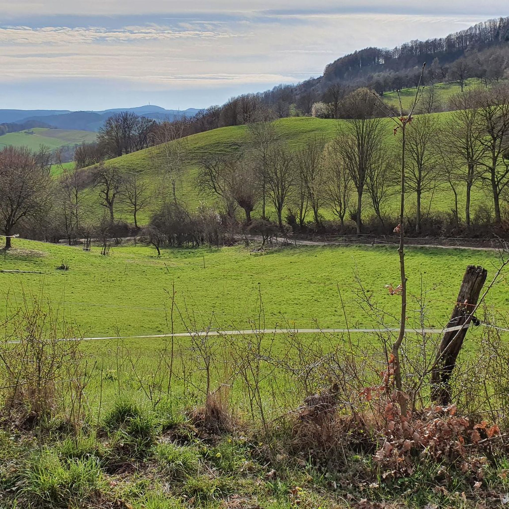
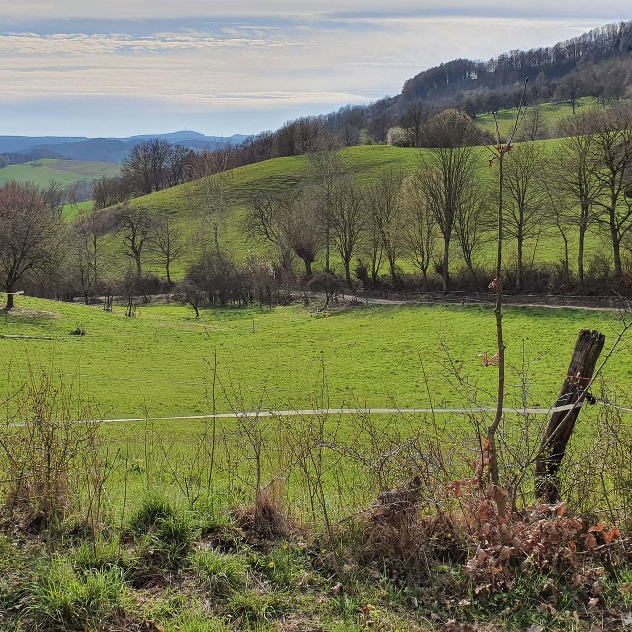
A truly beautiful view.
0
0

A very nice view
0
0
A very nice view
0
0
Frequently Asked Questions
How many hiking trails are available around Golmbach?
There are over 30 hiking trails around Golmbach, catering to various skill levels. You'll find 17 easy routes, 15 moderate paths, and 2 more challenging trails, ensuring options for everyone from beginners to experienced hikers.
What is the best time of year to go hiking in Golmbach?
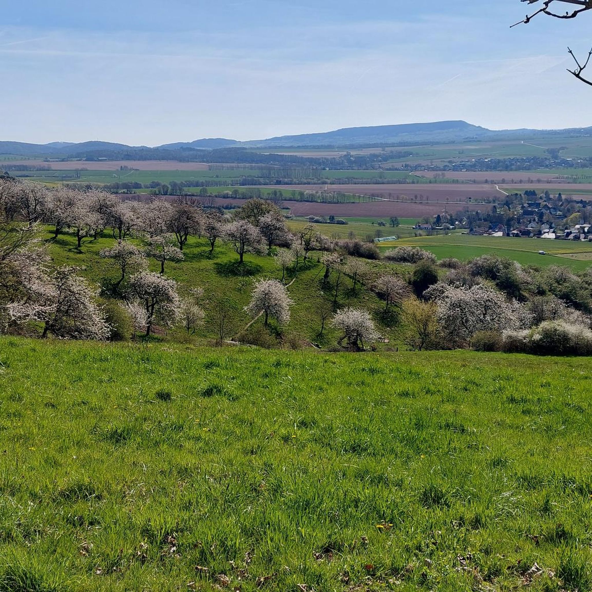
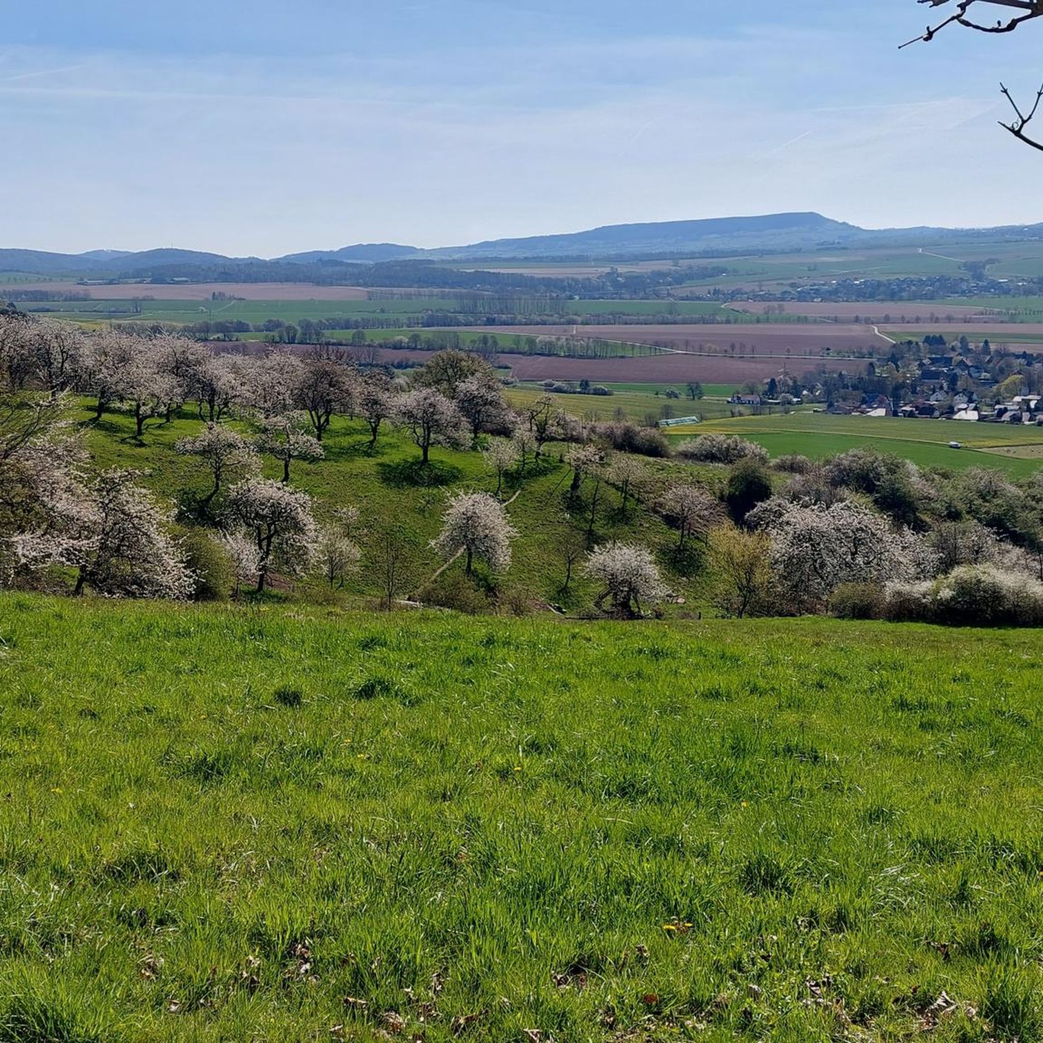
The best seasons for hiking in Golmbach are spring and autumn. Spring brings blooming flowers and plants, including the famous cherry blossoms, while autumn transforms the forests into vibrant hues of red and brown. The mild climate during these times is ideal for extended walks.
Are there family-friendly hiking routes in Golmbach?
Yes, Golmbach offers several easy, family-friendly paths. For example, the WS Stamp 10: Cherry Paradise – Golmbach Cherry Orchards loop from Golmbach is an easy 2.8-mile (4.5 km) trail that's particularly appealing during the spring blossom season.
Can I find circular hiking routes in the Golmbach area?
Yes, the region around Golmbach is known for its numerous circular hiking trails. You can explore routes that offer views of the Weser at Rühle, or the Romantic Path Above Golmbach – Rühler Bach Valley loop from Holzminden, which provides picturesque scenery.
Are there any good viewpoints or natural landmarks to see on hikes near Golmbach?
Absolutely. The region boasts several prominent natural landmarks and viewpoints. The Ebersnacken Tower, the highest peak of the Vogler, offers panoramic views stretching as far as the Brocken in the Harz mountains on clear days. You can also find the Weser Cliffs at Steinmühle and the View of the Mühlenberg Nature Reserve cliffs.
What do other hikers enjoy most about hiking in Golmbach?
The hiking trails in Golmbach are highly rated by the komoot community, with an average score of 4.7 stars from over 200 reviews. Hikers often praise the diverse landscapes, from rolling hills and river valleys to dense forests, and the variety of routes available for all ability levels.
Are there any caves to explore near Golmbach?
Yes, the area around Golmbach features several interesting caves. Notable ones include the Rothestein Cave, the Bear Cave (Ith), and the Nasenstein Cave and Children’s Cave, offering unique geological insights.
Can I hike with my dog in the Golmbach area?
Many trails in the natural landscapes around Golmbach, including parts of the Solling-Vogler Nature Park, are generally dog-friendly. However, it's always recommended to keep dogs on a leash, especially in nature reserves or near wildlife, and to respect local regulations.
Are there any longer or more challenging hikes available?
Yes, for more experienced hikers, there are longer and more challenging routes. The Ebersnacken Tower – WS Stamp 7: Bodoturm loop from Holzminden is a difficult 13.9-mile (22.3 km) hike that leads to the prominent Ebersnacken tower, offering significant elevation gain and rewarding views.
What kind of landscapes can I expect to see while hiking around Golmbach?
Hiking around Golmbach offers diverse and picturesque landscapes. You'll encounter rolling hills, lush river valleys like the idyllic Forstbach valley, and dense forests. The region is situated between low mountain ranges such as the Vogler, Homburgwald, Solling, and Burgberg, providing varied terrain and stunning vistas.
Are there any specific events or festivals that might enhance a hiking trip to Golmbach?
Yes, the local area near Golmbach, known as Rühler Schweiz (Rühle Switzerland), hosts events like the Kirschblütenfest (cherry blossom festival) in late April. This festival often includes guided hikes through the cherry orchards, making it a particularly charming time to visit and combine hiking with local culture.
Most popular attractions around Golmbach

Get inspired with the komoot mobile app


Explore more
Browse the best Hikes in other regions.
