The best walks and hikes in Dragišnica
4.6
(1593)
8,619
hikers
65
hikes
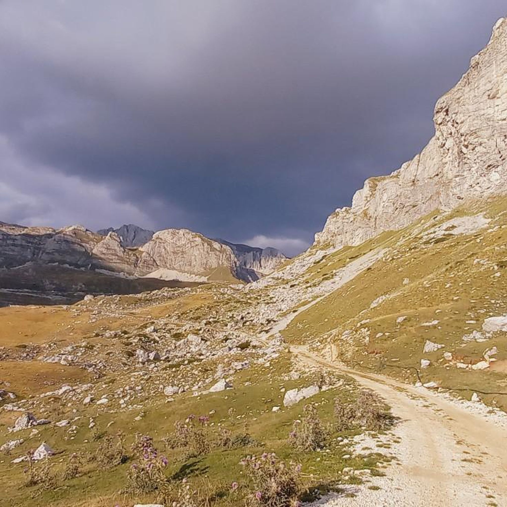
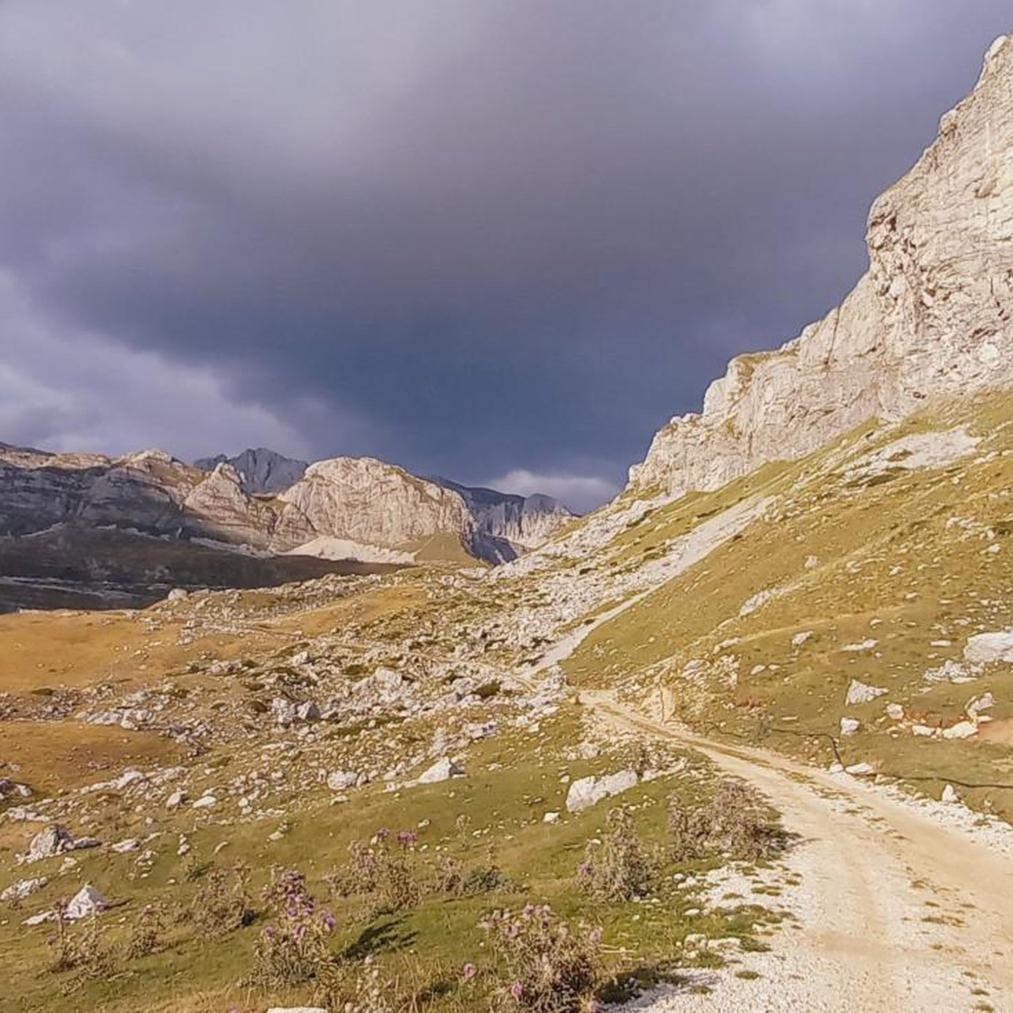
Hiking in Dragišnica, located within the Dragišnica and Komarnica Nature Park in northwestern Montenegro, features diverse and rugged natural terrain. The region is characterized by untouched mountain landscapes, deep canyon valleys, and gorges, with elevations ranging from 651 meters in the Komarnica River canyon to 1,998 meters at Ogorjeli Krš. Expansive coniferous and beech forests, pristine mountain meadows, and dramatic rock formations like Boljske Grede define the area's hiking environment.
Best hiking trails in Dragišnica
- The most popular hiking route…
Last updated: August 18, 2026
6.48km
02:18
370m
380m
Moderate hike. Good fitness required. Easily-accessible paths. Suitable for all skill levels.
4.9
(140)
727
hikers
12.1km
05:38
840m
840m
Hard hike. Very good fitness required. Sure-footedness, sturdy shoes and alpine experience required.

Sign up for free
4.7
(26)
210
hikers
10.7km
05:49
1,000m
1,000m
Hard hike. Very good fitness required. Mostly accessible paths. Sure-footedness required.
4.7
(30)
218
hikers
8.48km
04:17
680m
680m
Hard hike. Good fitness required. Sure-footedness, sturdy shoes and alpine experience required.
4.7
(10)
76
hikers
10.6km
04:54
770m
760m
Moderate hike. Good fitness required. Mostly accessible paths. Sure-footedness required.
Get access to more routes and recommendations from other explorers.
Sign up for free
Already have an account?
Our route recommendations are based on thousands of hikes, rides, and runs completed by other people on komoot.
Start today with a free account
Your next adventure awaits.
Login or Signup
Popular around Dragišnica

Tips from the Community

Amazing views from the summit! However, the route from Todorov Do on the western side is definitely difficult, with very steep, narrow sections and steep drop-offs. Some parts require climbing experience, and descending this way does not seem feasible. The route from Dobri Do to the south looks like a much better option for both ascent and descent. The Todorov Do route should definitely be rated difficult, not moderate.
3
0

If you choose to stay in the hut, keep in mind there are many rodents, which are active at night. It may spoil your sleep, as they scratch and stomp.
1
0

Spectacular 360° view, unique rock formations
0
0
Breathtaking views and well-maintained and marked trails
0
0
We just completed this hike in early June. The ascent (via Todorov Do) is very technical and challenging for inexperienced hikers (30/40 degree slope, rocky and unstable terrain, some climbing, etc.). The descent (which is actually the ascent to the summit of the other side, which is another hike - a loop with a lake viewpoint, starting from the Dobri Do parking lot) is much simpler. Note that the end of the hike in the plain to return to the car is not at all signposted, the path is not easily visible, and the GPS track does not always match; you are mostly off-piste.
3
3

Steep via ferrata, but easily doable without snow. Only a short section, about 50 meters.
0
0

Here you can take a short break to enjoy the great view of the lake and the surrounding area. Then comes the final push to the summit, where you have to climb.
4
0
From here you can already see Bobotov Kuk. It is easy to see that before the summit it becomes steep and strenuous. Up to this point the path is quite normal, but that will soon change.
4
0
Frequently Asked Questions
How many hiking trails are available in Dragišnica?
Dragišnica offers a wide selection of hiking routes, with over 60 trails available. These range from easy walks to challenging mountain ascents, catering to various fitness levels and preferences.
What types of terrain can I expect on Dragišnica's hiking trails?
The terrain in Dragišnica is diverse and rugged, featuring untouched mountain landscapes, deep canyon valleys, and gorges. You'll encounter expansive coniferous and beech forests, pristine mountain meadows, and dramatic rock formations like Boljske Grede. Elevations vary significantly, from 651 meters in the Komarnica River canyon to 1,998 meters at Ogorjeli Krš.
Are there any easy hikes suitable for beginners or families in Dragišnica?
Yes, Dragišnica has 15 easy trails perfect for beginners or families. These routes often explore the region's beautiful forest complexes and mountain meadows, offering a gentle introduction to the area's natural beauty without requiring extensive hiking experience.
Are there any circular hiking routes in Dragišnica?
Many of Dragišnica's trails are circular, allowing you to start and end at the same point. An example is the moderate Vidana Pecina loop from Trebljevina, which takes about 2 hours and 18 minutes to complete.
What are some notable natural features or landmarks to see while hiking in Dragišnica?
Dragišnica is rich in natural wonders. You can explore the dramatic Nevidio Canyon, known for its narrow passages and high waterfalls, or witness the impressive Boljske Grede rock formations. The Dragišnica Forest Complex offers ancient forests and mountain springs, while the Komarnica River and Skakavica Waterfall are also prominent highlights.
What is the best time of year to go hiking in Dragišnica?
The best time to hike in Dragišnica is typically from spring through autumn. During these seasons, the mountain meadows are vibrant with flowering communities, and the weather is generally more favorable for exploring the diverse landscapes. Winter hikes are possible but require appropriate gear and experience due to snow and colder conditions.
What do other hikers say about their experience in Dragišnica?
The komoot community highly rates hiking in Dragišnica, with an average score of 4.6 stars from over 1500 reviews. Hikers often praise the untouched mountain landscapes, the dramatic canyon views, and the rich biodiversity encountered along the trails.
Are there any challenging hikes for experienced mountaineers?
Absolutely. Dragišnica offers 21 difficult trails for experienced hikers. Routes like the Bobotov Kuk – Bobotov Kuk loop from Dobri Do ascend to high mountain elevations, providing panoramic views and requiring good fitness and alpine experience.
Can I find trails that offer views of Durmitor Peaks?
Yes, several trails provide stunning vistas of the Durmitor Peaks. For instance, the difficult View of Durmitor Peaks – Bobotov Kuk loop from Dobri Do offers expansive views of the surrounding mountains.
Are there any trails that pass by significant rock formations?
Indeed. The region is known for its impressive rock formations. The difficult Prutaš Rock Formations – Skrčko Ždrijelo Pass (2114 m) loop from Dobri Do is a great option, leading you through rugged landscapes and past prominent geological features.
What kind of wildlife might I encounter while hiking in Dragišnica?
Dragišnica boasts a rich biodiversity. Hikers might spot various animal species, including deer, wild goats, bears, foxes, and grey wolves. The area is also home to diverse birds, amphibians, and reptiles, especially in its well-preserved forest complexes and mountain meadows.

Get inspired with the komoot mobile app


Explore more
Browse the best Hikes in other regions.
