The best walks and hikes in Rotlehmbodenwald
4.5
(187)
1,360
hikers
64
hikes
Hiking in Rotlehmbodenwald offers trails through a beautiful forest in Südoststeiermark, characterized by its riverine landscapes and agricultural areas. The region features paths along the Mur River, through vineyards, and around local lakes. Terrain is generally flat to gently rolling, with some routes offering more significant elevation changes.
Best hiking trails in Rotlehmbodenwald
- The most popular hiking route is View of the Mur River – Murauen Trail loop from Halbenrain, a 7.1 miles (11.5 km) trail that takes 2…
Last updated: June 26, 2026
4.7
(7)
41
hikers
11.7km
02:58
20m
20m
Moderate hike. Good fitness required. Easily-accessible paths. Suitable for all skill levels.
2
hikers
Hard hike. Very good fitness required. Mostly accessible paths. Sure-footedness required.

Sign up for free
6
hikers
Moderate hike. Good fitness required. Easily-accessible paths. Suitable for all skill levels.
5.0
(14)
80
hikers
15.9km
04:25
280m
280m
Moderate hike. Good fitness required. Mostly accessible paths. Sure-footedness required.
4.8
(6)
29
hikers
Moderate hike. Good fitness required. Easily-accessible paths. Suitable for all skill levels.
Get access to more routes and recommendations from other explorers.
Sign up for free
Already have an account?
Our route recommendations are based on thousands of hikes, rides, and runs completed by other people on komoot.
Start today with a free account
Your next adventure awaits.
Login or Signup
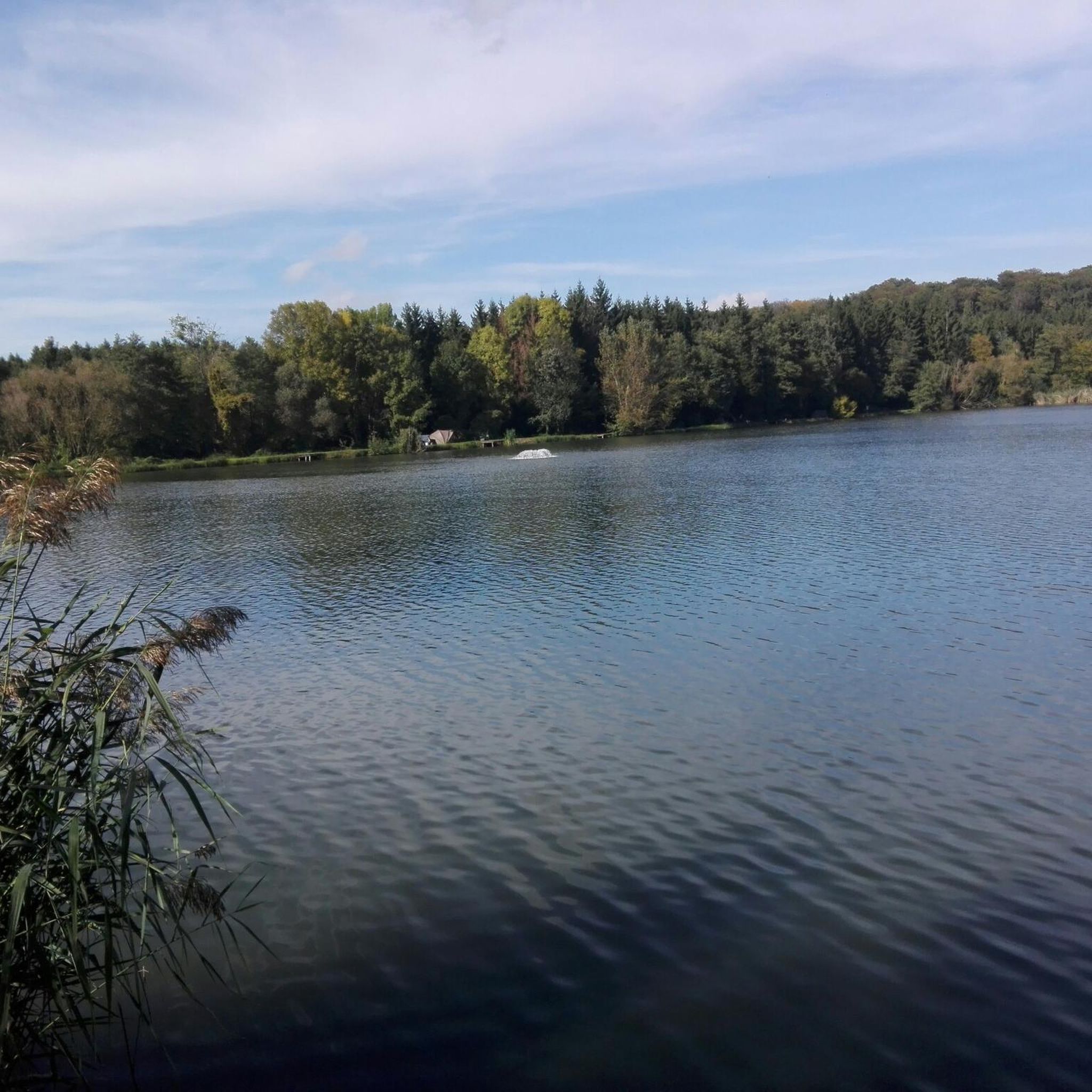
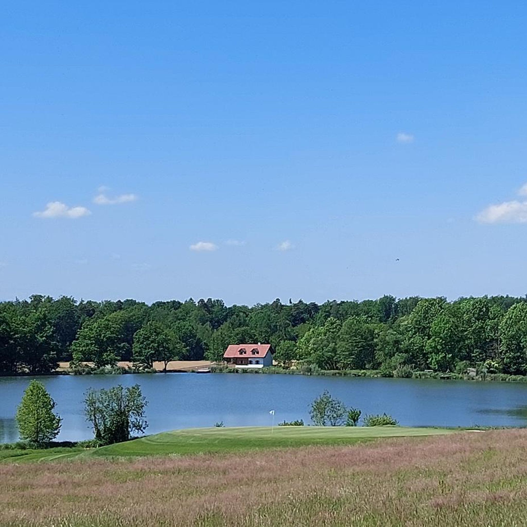
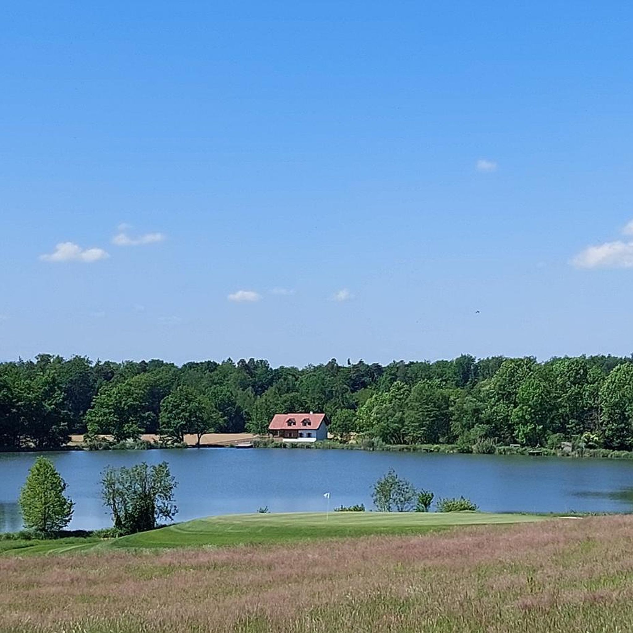
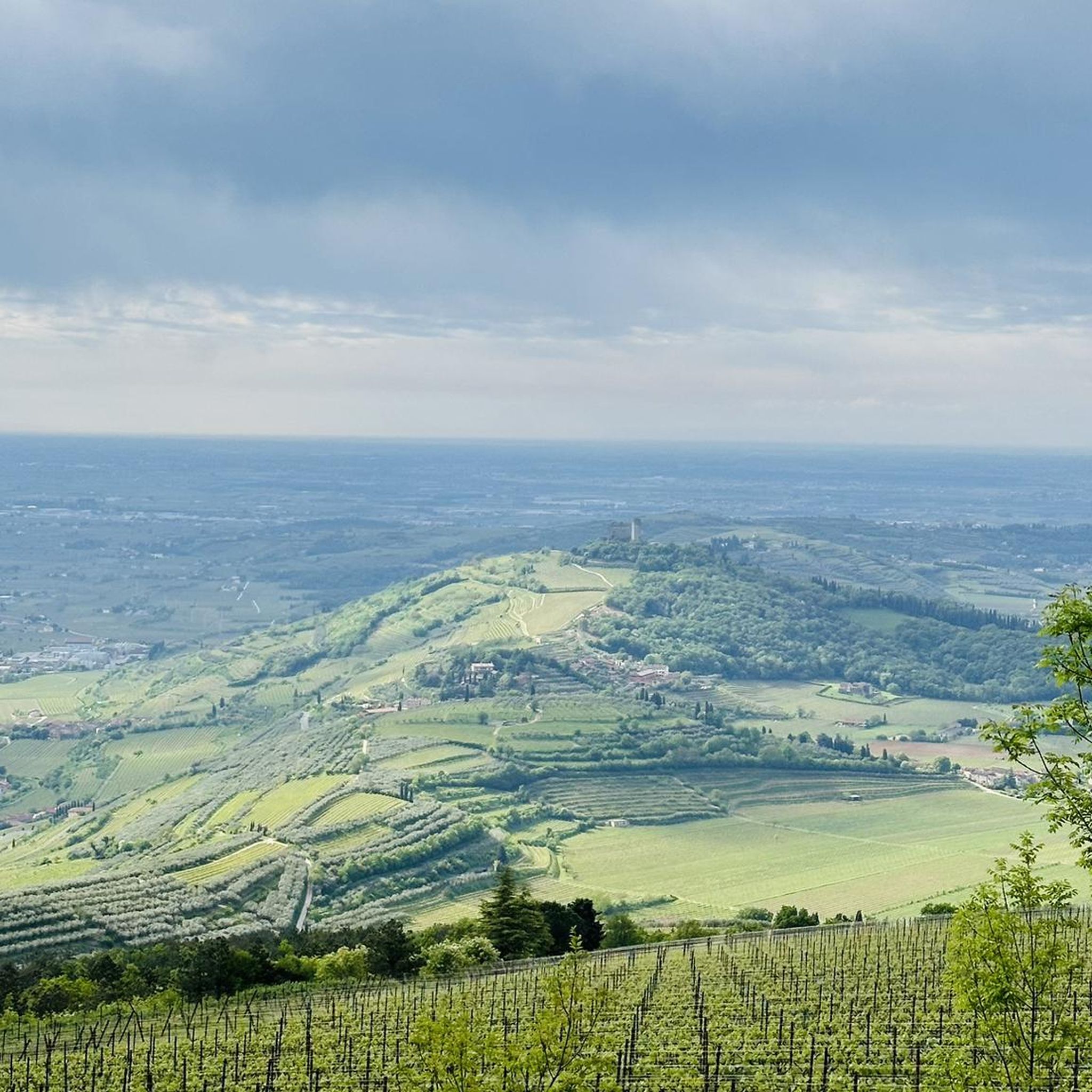
Tips from the Community

Once a short break and something to drink to quench your thirst!
0
0

Super great regional products
3
0

Beautiful fountain sculpture in the main square
3
0
Erected in memory of the fallen soldiers of the First World War
1
0
Great wines, always worth a visit
4
0

Important: Here at Liebmannsee is the only battery charging station for e-bikes for miles around. It's about 100 meters from the rest area. https://maps.app.goo.gl/n5dm6BzavBZJpkGh6
1
0
A super nice tour, lots of asphalt roads, but also gravel paths, partly along the Mur, great views, beautiful towns, good food, great lakes and ponds, a short ride on the Mur ferry (free), highly recommended
4
0
Frequently Asked Questions
How many hiking trails are available in Rotlehmbodenwald?
Rotlehmbodenwald offers a diverse network of over 60 hiking trails. These routes cater to various skill levels, ranging from easy strolls to more challenging long-distance paths, ensuring there's something for every hiker.
What kind of terrain can I expect on hikes in Rotlehmbodenwald?
The region is characterized by riverine landscapes and agricultural areas, with paths along the Mur River, through vineyards, and around local lakes. The terrain is generally flat to gently rolling, though some routes do feature more significant elevation changes, particularly those venturing into the vineyard areas.
Are there easy hiking options suitable for beginners or families in Rotlehmbodenwald?
Yes, Rotlehmbodenwald has 23 easy hiking routes, perfect for beginners or families looking for a relaxed outdoor experience. These trails often follow the river paths or gentle forest sections, providing accessible and enjoyable walks.
Can I find challenging hikes in Rotlehmbodenwald?
Absolutely. For those seeking a more demanding experience, there are 5 difficult routes available. One such challenging option is the Klöcher Traminerweg Trail – View of the Vineyards of Klöch loop from Halbenrain, which spans 13.5 miles (21.7 km) and offers extensive views of the Klöch vineyards with notable elevation changes.
Are there any circular hiking routes in Rotlehmbodenwald?
Many of the trails in Rotlehmbodenwald are designed as circular routes, allowing you to start and end at the same point. An example is the View of the Mur River – Murauen Trail loop from Halbenrain, a moderate 7.1-mile (11.5 km) path offering scenic views of the Mur River and its floodplains.
What natural features or landmarks can I see while hiking in Rotlehmbodenwald?
While hiking, you can explore picturesque valleys, tranquil rivers like the Mur, and local lakes such as the Aartalsee and Krombach Reservoir. The region also features unique geological sites like the Wilhelmsteine Rock Formation and offers views of extensive vineyards, particularly around Klöch.
Are dogs allowed on the hiking trails in Rotlehmbodenwald?
Generally, dogs are welcome on most hiking trails in Rotlehmbodenwald. However, it's always recommended to keep them on a leash, especially in nature protection areas or near wildlife, and to respect local signage regarding pet regulations.
What do other hikers say about the trails in Rotlehmbodenwald?
The trails in Rotlehmbodenwald are highly rated by the komoot community, with an average score of 4.6 stars from over 150 reviews. Hikers often praise the varied terrain, the beautiful riverine landscapes, and the well-maintained paths that make for an enjoyable experience.
Are there opportunities to see wildlife while hiking in Rotlehmbodenwald?
Yes, the dense forests and riverine areas of Rotlehmbodenwald are rich in biodiversity. You might encounter various animals in their natural habitats, especially in areas like the Donsbach wildlife park, which provides easily accessible trails for wildlife observation.
Are there any specific trails that offer views of vineyards?
Yes, the region is known for its vineyards. The Klöcher Traminerweg Trail – View of the Vineyards of Klöch loop from Halbenrain is a prime example, providing extensive and scenic views of the vineyards of Klöch, making it a popular choice for wine enthusiasts and hikers alike.
What are the typical durations for hikes in Rotlehmbodenwald?
Hike durations vary significantly depending on the route's length and difficulty. For instance, a moderate trail like the View of the Mur River – Murauen Trail loop from Halbenrain typically takes around 2 hours 54 minutes, while longer, more difficult routes can extend to over 6 hours.
Are there any historical or cultural attractions near the hiking trails?
Beyond the natural beauty, the region offers several historical and cultural attractions. The historic old town of Herborn, with its half-timbered houses and castle, is a major draw. Nearby, you can also visit Greifenstein Castle, known for its distinctive double tower and bell museum, offering a rich cultural experience.
Most popular routes in Rotlehmbodenwald

Get inspired with the komoot mobile app


Explore more
Browse the best Hikes in other regions.
