The best cycling routes in Hochleithenwald
4.6
(1777)
7,313
riders
495
rides
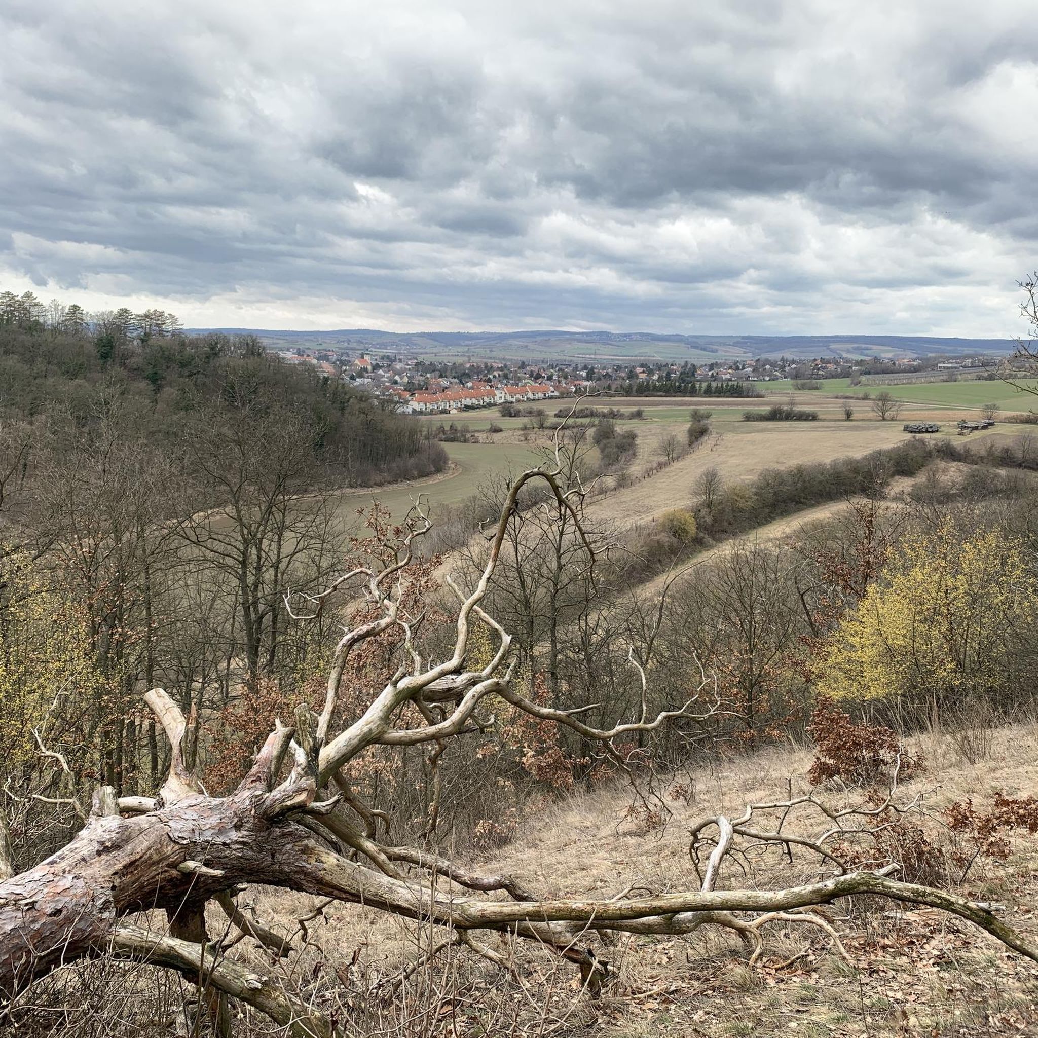
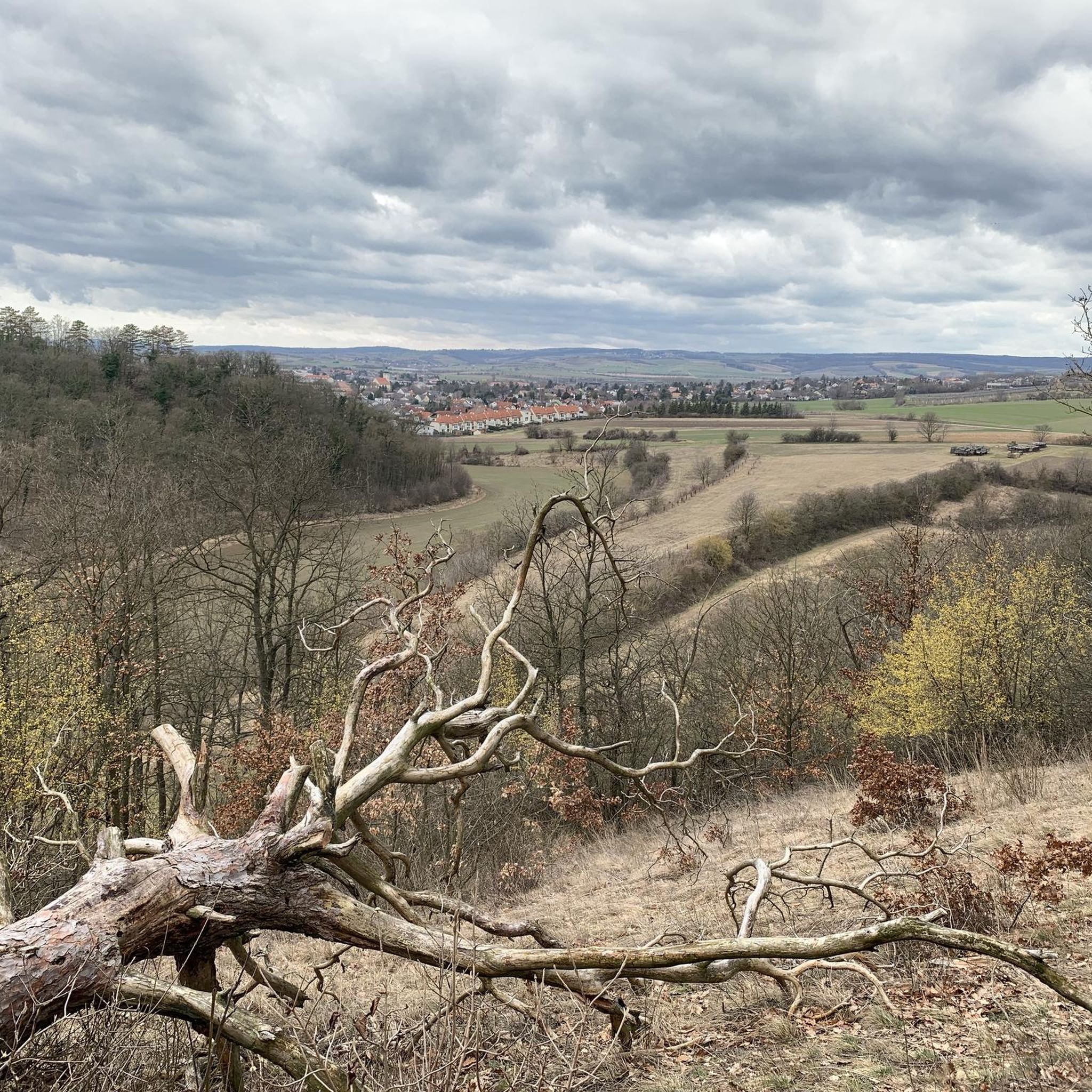
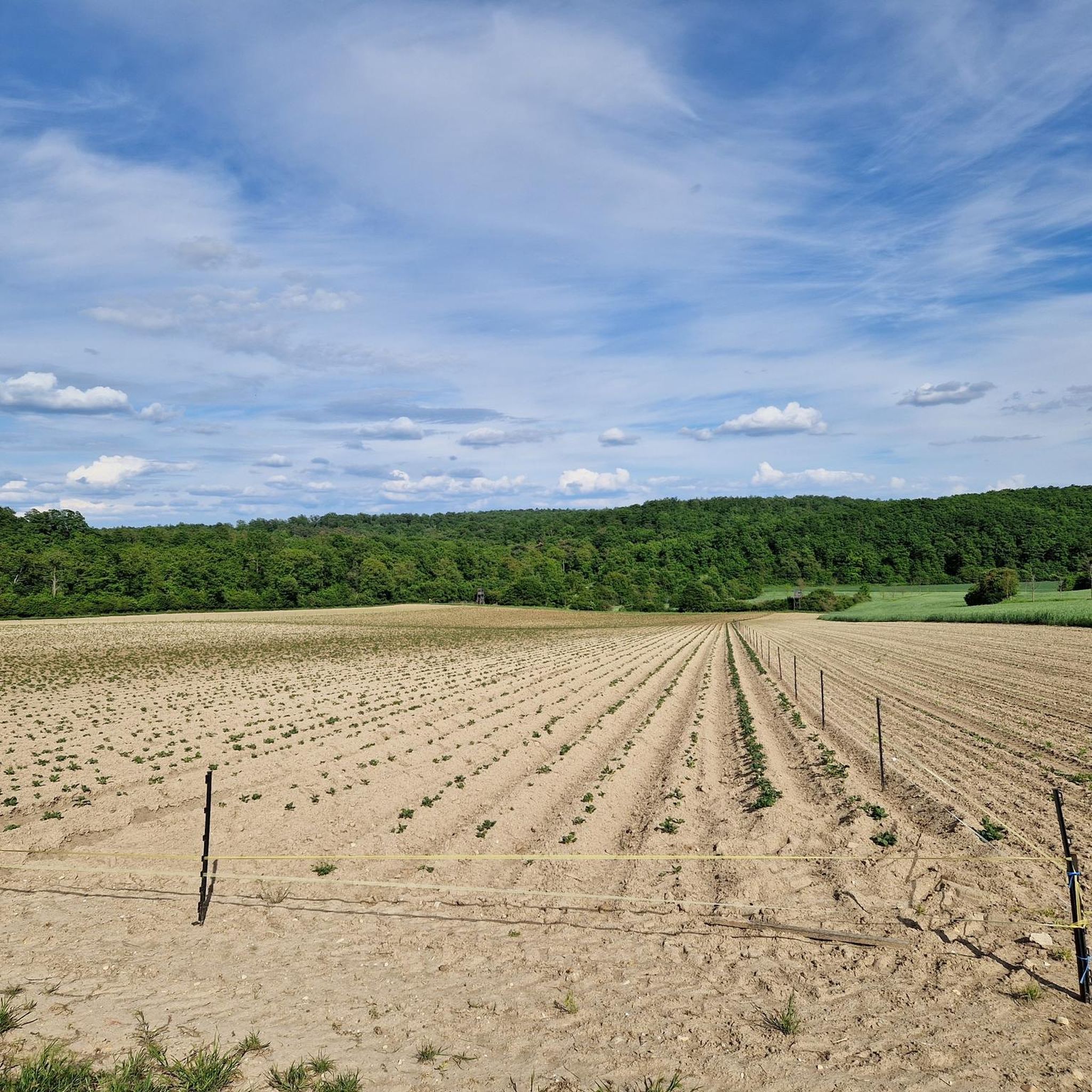
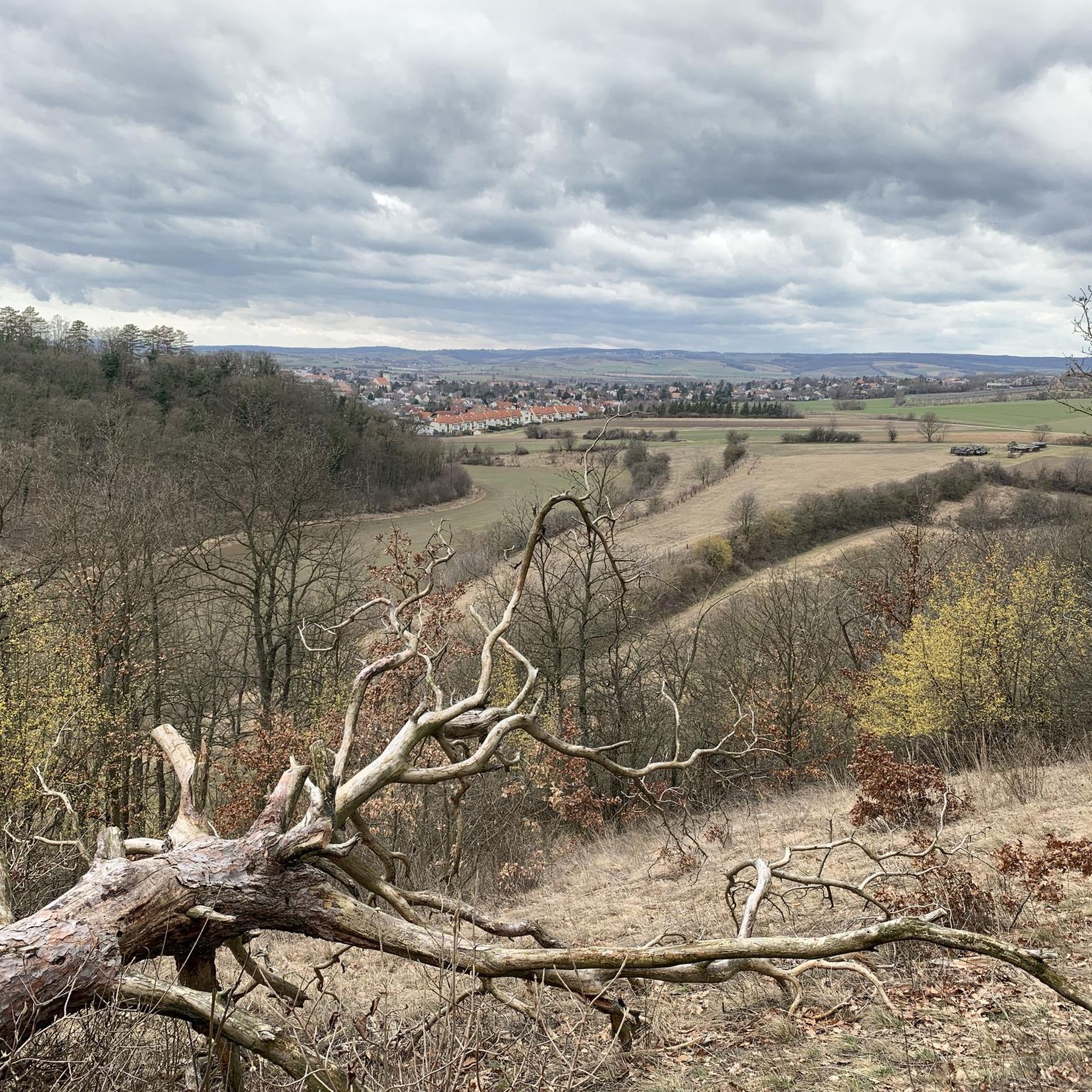
Touring cycling in Hochleithenwald offers a diverse landscape characterized by extensive forests and a network of dedicated cycle paths. The region features gently rolling terrain, typical of the Weinviertel area, with routes often passing through open fields and alongside historic towns. This environment provides a mix of shaded forest sections and more open stretches, suitable for various cycling preferences.
Best touring cycling routes in Hochleithenwald
- The most popular touring cycling route is Parish Church of Wolkersdorf – Bust loop from Wolkersdorf im Weinviertel, a 7.6 miles (12.3 km) trail that takes about 40 minutes to complete. This easy route offers a pleasant ride through the local countryside.
- Another top favourite among local touring cyclists is Avenue near Großebersdorf – Dampfroß Cycle Path loop from Wolkersdorf, a moderate 27.6 miles (44.4 km) path. This route showcases the region's open landscapes and well-maintained cycle paths.
- Local touring cyclists also love the Wolkersdorf Castle – Karpatenblick Viewpoint loop from Wolkersdorf, a 34.4 miles (55.4 km) trail leading through forested areas and offering distant views, often completed in about 3 hours 39 minutes.
- Touring cycling in Hochleithenwald is defined by its extensive forests, open fields, and dedicated cycle paths. The network offers options for different ability levels, from easy loops to more challenging moderate routes.
- The routes in Hochleithenwald are highly rated by the komoot community with an average score of 4.6 stars from over 1600 reviews. More than 7000 touring cyclists have used komoot to explore Hochleithenwald's varied terrain.
Last updated: July 8, 2026
5.0
(8)
43
riders
Easy bike ride. Great for any fitness level. Mostly paved surfaces. Suitable for all skill levels.
4.5
(31)
115
riders
55.7km
03:40
370m
370m
Moderate bike ride. Good fitness required. Mostly paved surfaces. Suitable for all skill levels.

Sign up for free
4.9
(14)
70
riders
18.7km
01:24
120m
120m
Easy bike ride. Great for any fitness level. Mostly paved surfaces. Suitable for all skill levels.
4.6
(11)
56
riders
Easy bike ride. Great for any fitness level. Mostly paved surfaces. Suitable for all skill levels.
4.9
(18)
46
riders
39.0km
02:21
200m
200m
Moderate bike ride. Good fitness required. Mostly paved surfaces. Suitable for all skill levels.
Get access to more routes and recommendations from other explorers.
Sign up for free
Already have an account?
Our route recommendations are based on thousands of hikes, rides, and runs completed by other people on komoot.
Start today with a free account
Your next adventure awaits.
Login or Signup
Tips from the Community

Simply beautiful. One can hardly believe that there are such beautiful and quiet places - so close to Vienna.
0
0

The Korneuburg–Klosterneuburg roll-on/roll-off ferry is a unique Danube bridge between the Tulln Danube Bridge and the Vienna North Bridge. It connects the two Lower Austrian towns of Korneuburg on the left bank and Klosterneuburg on the right bank of the Danube. The ferry is a reaction ferry. This means it uses the current of the Danube for propulsion. This makes it a particularly environmentally friendly and interesting way to cross the river. The ferry is located at river kilometer 1941. Currently, service ends at 8:00 p.m. The last crossing from Korneuburg to Klosterneuburg is at 7:50 p.m. Thus, the Korneuburg–Klosterneuburg roll-on/roll-off ferry is, like any other ferry, the ONLY way to cross the Danube between the Tulln Danube Bridge and the Vienna North Bridge. 🤯 It's a total game-changer, connecting the dope cities of Korneuburg on the left bank and Klosterneuburg on the right bank of the Danube. Thi
3
0

How big is the solar system really? The new Planet Trail demonstrates the relative dimensions of space in a navigable and walkable format. A special attraction, a planet trail has been constructed along the cycle path. Starting at the cyclist's rest stop, the sun is depicted with a diameter of 85 centimeters. Each star has an explanatory display panel. These are equipped with a QR code.
0
0

The best burgers along the Danube 😁
1
0

An old railway line, flat, asphalted, partly shady
1
0

There is a nice restaurant with good food in the city center
0
0

The route runs primarily along farm tracks, riverside paths, quiet country roads, and dedicated or roadside cycle paths. The quality of the trail is generally good. Only short sections are on gravel paths. Otherwise, asphalt predominates. While the topography in the Czech Republic and Lower Austria is relatively flat,
1
0

The Roman Catholic parish church of Klein-Engersdorf is located on a hillside in the east of the village of Klein-Engersdorf in the market town of Bisamberg. The parish was founded around 1100 and initially belonged to the Formbach monastery and was incorporated into the Schottenstift in 1540. The Gothic choir dates from the 14th century, the nave was built in 1772. The church features late Baroque architecture with a facade tower and onion dome. The high altar from the 18th century originally contained a picture of St. Vitus by Martin Johann Schmidt in 1775. The former high altar painting is now in safekeeping.
1
0
Frequently Asked Questions
How many touring cycling routes are available in Hochleithenwald?
Hochleithenwald offers a wide selection of over 500 touring cycling routes. These include more than 230 easy routes, over 210 moderate options, and around 60 more challenging trails.
Are there easy touring cycling routes suitable for beginners in Hochleithenwald?
Yes, Hochleithenwald is very welcoming for beginners, with over 230 easy routes. A great option is the Wolkersdorf Castle – Hochleithen Cycle Path loop from Wolkersdorf, an 18.7 km trail that offers a pleasant ride through the local countryside.
What are some longer touring cycling routes in Hochleithenwald?
For those looking for longer rides, the region has several options. The Wolkersdorf Castle – Karpatenblick Viewpoint loop from Wolkersdorf is a moderate 55.4 km trail, while the Avenue near Großebersdorf – Dampfroß Cycle Path loop from Wolkersdorf covers 44.4 km, showcasing open landscapes and well-maintained paths.
What kind of terrain can I expect on touring cycling routes in Hochleithenwald?
The terrain in Hochleithenwald is characterized by gently rolling hills, typical of the Weinviertel area. You'll find a mix of extensive forests providing shaded sections, open fields, and dedicated cycle paths. Routes often pass through historic towns, offering varied scenery.
Are there any circular touring cycling routes in Hochleithenwald?
Many of the touring cycling routes in Hochleithenwald are designed as loops. For example, the Wolkersdorf Castle – Hauptplatz Wolkersdorf loop from Katastralgemeinde Kronberg is a 14.9 km circular route that allows you to start and finish in the same location.
What can I see along the touring cycling routes in Hochleithenwald?
Along the routes, you can explore various points of interest. Notable attractions include the Crosses of the White Lady of Bockfließ, the Marian Wayside Shrine on Tetzenberg, and the Memorial Cross for the 1990 Balloon Accident. The Hochleithen Cycle Path itself is a highlight for cyclists.
What do other touring cyclists enjoy most about cycling in Hochleithenwald?
The area is highly rated by the komoot community, with an average score of 4.6 stars from over 1600 reviews. Cyclists often praise the well-maintained dedicated cycle paths, the diverse landscape featuring both forests and open fields, and the overall pleasant riding experience in the gently rolling Weinviertel terrain.
Are there family-friendly touring cycling routes in Hochleithenwald?
Yes, many of the easy routes are suitable for families. The region's gently rolling terrain and dedicated cycle paths make it ideal for cyclists of all ages. The Parish Church of Wolkersdorf – Bust loop from Wolkersdorf im Weinviertel, at 12.3 km, is an easy and popular choice for a family outing.
When is the best time of year to go touring cycling in Hochleithenwald?
The best time for touring cycling in Hochleithenwald is typically from spring to autumn. During these seasons, the weather is generally mild, and the landscapes are vibrant, offering comfortable conditions for exploring both the forested areas and open fields.
Are there places to stop for refreshments or cafes along the routes?
While specific cafes vary by route, the region's routes often pass through or near historic towns where you can find local eateries and cafes. Additionally, the Weingarten Hut is a notable spot that cyclists might encounter.
Where can I find parking for touring cycling routes in Hochleithenwald?
Many routes in Hochleithenwald start from towns like Wolkersdorf im Weinviertel. These towns typically offer public parking facilities. It's advisable to check specific starting points of your chosen route for the most convenient parking options.
Most popular routes in Hochleithenwald
Most popular attractions in Hochleithenwald

Get inspired with the komoot mobile app


Explore more
Browse the best Cycling routes in other regions.
