The best running trails in Dunkelsteinerwald
5.0
(1)
79
runners
11
runs
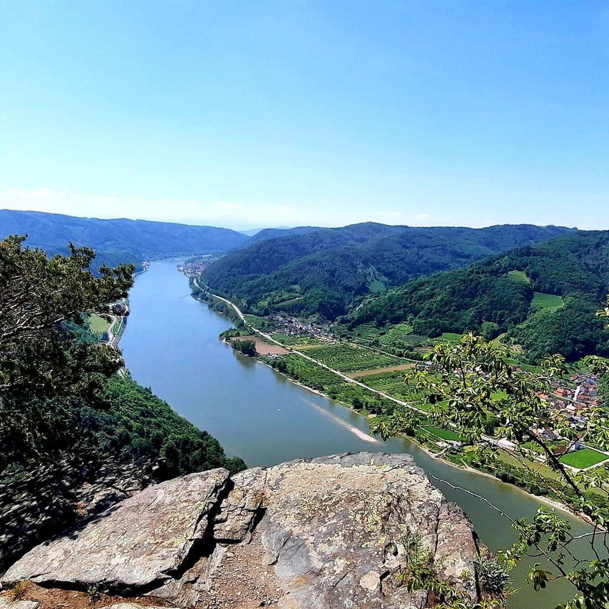
Jogging routes in Dunkelsteinerwald traverse a diverse landscape of rolling hills and dense forests in Lower Austria. The region features a hilly topography with elevations reaching up to 700 meters above sea level, offering varied terrain for runners. Vast forested areas, covering 99 km², provide abundant shaded trails, while other sections include vineyards, fruit orchards, and agricultural lands. The northwestern border follows the Wachau and Danube valley, providing scenic views and a mix of natural features.
Best jogging routes in…
Last updated: October 5, 2026
20
runners
5.04km
00:34
140m
140m
Moderate run. Good fitness required. Mostly paved surfaces. Suitable for all skill levels.
14
runners
4.62km
00:56
440m
440m
Hard run. Very good fitness required. Mostly paved surfaces. Suitable for all skill levels.

11
runners
5.39km
00:37
100m
110m
Moderate run. Good fitness required. Mostly paved surfaces. Suitable for all skill levels.
5.0
(1)
9
runners
20.3km
02:42
690m
690m
Hard run. Very good fitness required. Sure-footedness, sturdy shoes and alpine experience required.
6
runners
Hard run. Very good fitness required. Sure-footedness, sturdy shoes and alpine experience required.
Get access to more routes and recommendations from other explorers.
Already have an account?
Our route recommendations are based on thousands of hikes, rides, and runs completed by other people on komoot.
Start today with a free account
Your next adventure awaits.

Other adventures in Dunkelsteinerwald

Tips from the Community

Always beautiful, the view over the Danube to Dürnstein. Especially in the evening sun 🌞.
0
0
Rollfähre Spitz-Arnsdorf The Rollfähre connects the villages of Spitz and Arnsdorf by water. The ferry, consisting of two interconnected hulls, has a load capacity of 20 t (bridge load on its own 10 t) and transports both people and vehicles. The loading deck substructure is made of steel, while the superstructures are made of wood. The catamaran design ensures good stability. The ferry is held by a 485 m long cable, which is stretched across the Danube and anchored to the banks in strong towers. The ferry and cable are connected by a so-called yaw rope. No expensive energy is required for propulsion; only the river current of the Danube is utilized. The Rollfähre has a four-person crew, working in pairs. Since 2004, an art object by the Icelandic artist Olafur Eliasson has been installed on the ferry.
0
0

beautiful view from Rossatz to Dürnstein. The Rossatz side has been disfigured since the music event.
1
0

Imposing, sturdy building directly on the riverbank. Unusual at first glance, very interesting and worth seeing.
1
0

Falkenhorst/ a summit with schnapps 😁
1
0

A definite recommendation for anyone who needs to get out of the city and is looking for a destination! Thanks to the various ascent options, the tour can be tailored to individual time constraints and adapts to all lifestyles! Fantastic!!
0
0

The Dunkelstein (625m) near St. Pölten is an easily accessible destination with a summit cross, ideal for a short hike without any special requirements, often combined with the summit cross at the Hennesteck for a beautiful view, as the Dunkelstein itself is mostly surrounded by trees; a tip is to combine the loop with the nearby, scenic summit to have the full experience with summit register and panoramic view.
0
0

The **fortified church of St. Michael** in the Wachau is a fascinating historical building that not only impresses with its architecture but also plays a significant role in the region's history. Here are some interesting aspects of the church: 1. **History and Significance**: - The fortified church was once the seat of a far-reaching parish and is considered the **mother church of the Wachau**. - It stands on the site of a small Celtic settlement and thus has a long and eventful history. 2. **Architecture**: - The church is built in the **Romanesque style** and is characterized by its robust construction, which marks it as a fortified church. - Particularly noteworthy are the **thick walls** and the **tower**, which served as a defensive structure. 3. **Opening Hours**: - The fortified church is open daily from **March to October** from **8 AM to 6 PM** up to the gate. - In the winter months, it is accessible on **Sundays and public holidays**. 4. **Cultural Events**: - The church is not only a place of worship but also a popular venue for **concerts** and cultural events that underscore the historical atmosphere of the church. The fortified church of St. Michael is therefore an important cultural heritage of the Wachau, attracting both history enthusiasts and architecture lovers.
0
0
Frequently Asked Questions
How many running routes are available in Dunkelsteinerwald?
Dunkelsteinerwald offers a diverse selection of over 10 running routes, catering to various skill levels. You'll find a mix of moderate and difficult trails to explore.
What kind of terrain can I expect when running in Dunkelsteinerwald?
The region is characterized by its hilly topography, with elevations reaching up to 700 meters above sea level. You'll encounter vast forested areas, providing abundant shaded trails, alongside sections with vineyards, fruit orchards, and agricultural lands. The northwestern border also follows the scenic Wachau and Danube valley.
Are there routes suitable for beginners or those looking for an easier run?
While many routes feature elevation changes, there are several moderate paths available. For example, the Running loop from Katastralgemeinde Stein-Eichberg is a moderate 3.1-mile (5.0 km) trail that offers a good workout through the local landscape.
What do other runners say about the trails in Dunkelsteinerwald?
The running routes in Dunkelsteinerwald are highly rated by the komoot community, with an average score of 4.0 stars from 2 reviews. Over 90 runners have used komoot to explore the varied terrain, often praising the scenic views and well-maintained paths.
Can I find routes with scenic viewpoints or historical landmarks?
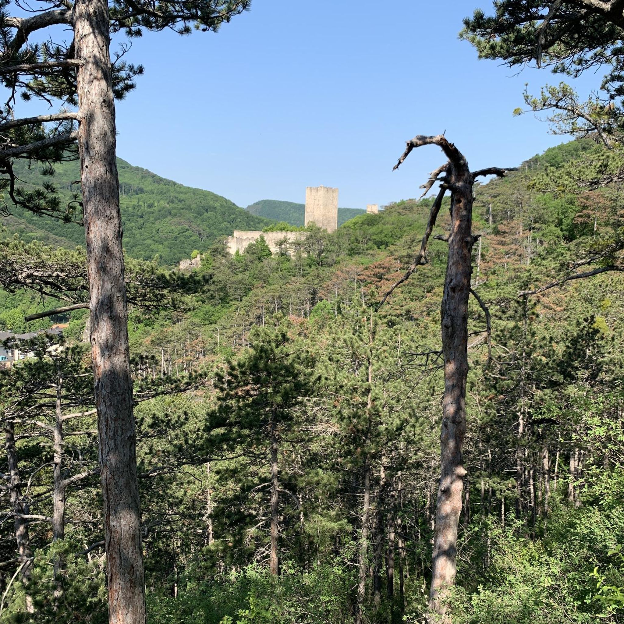
Absolutely! Many running routes offer stunning views and pass by historical sites. You can find trails near the medieval Aggstein Castle Ruins, which offer breathtaking views of the Wachau. Other routes might lead you past the Hohenegg Castle Ruins or the Seekopf Observation Tower for expansive panoramas.
Are there family-friendly jogging paths in the region?
Dunkelsteinerwald offers a mix of terrain, and while specific 'family-friendly' designations aren't always explicit, many of the moderate, shorter loops through forests or agricultural lands could be suitable for families. Look for routes with less significant elevation gain and shorter distances.
What about dog-friendly running trails in Dunkelsteinerwald?
The extensive network of trails through forests and open landscapes generally welcomes dogs, provided they are kept on a leash and owners adhere to local regulations. It's always a good idea to check specific trail rules or signage at the trailhead.
Are there longer, more challenging running trails for experienced athletes?
Yes, Dunkelsteinerwald has several difficult routes for experienced runners. For instance, the Flag Wall – Seekopf in the Wachau loop from Bergern im Dunkelsteinerwald is a challenging 12.6-mile (20.3 km) route with significant elevation changes, offering a demanding workout and rewarding views.
When is the best time of year to go running in Dunkelsteinerwald?
The region is beautiful year-round, but spring (May to mid-July) is particularly vibrant with wild roses blooming. Autumn offers stunning foliage. Summer provides shaded forest trails, while winter can offer unique, crisp running conditions, though some trails might be icy or snowy.
Are there options for parking near the running trailheads?
Yes, many trailheads in Dunkelsteinerwald, especially those for popular routes or near villages, offer designated parking areas. It's advisable to check specific route details on komoot for parking information related to your chosen starting point.
How can I reach the running routes in Dunkelsteinerwald using public transport?
Dunkelsteinerwald is located in the triangle between St. Pölten, Krems, and Melk, which are accessible by public transport. From these larger towns, local bus services often connect to smaller villages within the region, providing access points to various trailheads. Planning your journey in advance is recommended.
Are there any permits required for running on trails in Dunkelsteinerwald?
Generally, no specific permits are required for recreational running on the public trails and paths in Dunkelsteinerwald. However, always respect private property, conservation areas, and any posted local regulations or signage.
Can I find running routes that pass by cafes or places to rest?
Many routes in Dunkelsteinerwald pass through or near charming villages where you can find local cafes or inns for a refreshing break. The region's historical importance as a pilgrimage destination also means you might encounter monasteries or churches that offer a moment of rest and reflection.
Most popular routes in Dunkelsteinerwald
Most popular attractions in Dunkelsteinerwald

Get inspired with the komoot mobile app


Explore more
Browse the best Running Trails & Routes in other regions.
