The best MTB trails in Sandlau
4.5
(331)
2,115
riders
205
rides
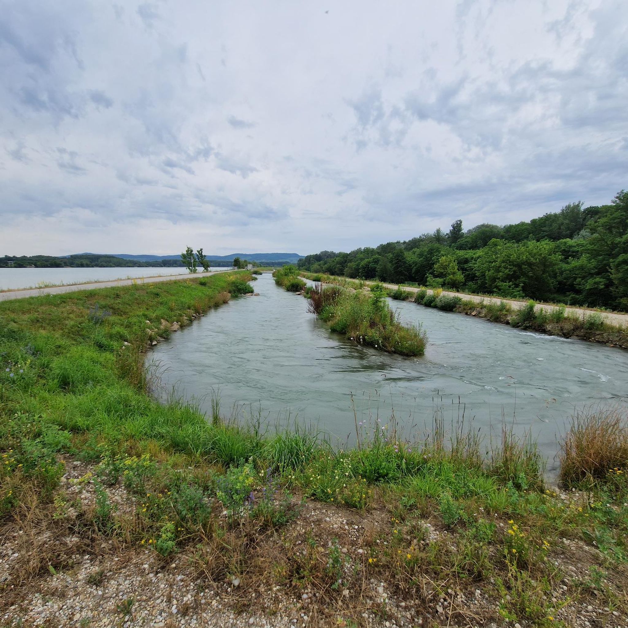
Mountain biking in Sandlau offers a diverse network of trails primarily situated around the forest areas of Bezirk Tulln. The region is characterized by its relatively flat terrain with gentle elevation changes, making it accessible for various skill levels. Riders can expect routes that follow riverbanks, traverse open fields, and wind through wooded sections. The landscape provides a mix of natural paths and well-maintained tracks suitable for mountain biking.
Best mountain bike trails in Sandlau
- The most popular mountain bike…
Last updated: July 1, 2026
4.6
(8)
49
riders
47.1km
02:27
120m
120m
Moderate mountain bike ride. Good fitness required. Suitable for all skill levels.
4.7
(3)
41
riders
33.7km
01:44
80m
80m
Easy mountain bike ride. Great for any fitness level. Suitable for all skill levels.

Sign up for free
4.5
(4)
19
riders
54.6km
03:16
360m
360m
Moderate mountain bike ride. Good fitness required. Suitable for all skill levels.
4.0
(1)
5
riders
Easy mountain bike ride. Great for any fitness level. Suitable for all skill levels.
4.5
(2)
4
riders
18.1km
01:01
30m
30m
Easy mountain bike ride. Great for any fitness level. Suitable for all skill levels.
Get access to more routes and recommendations from other explorers.
Sign up for free
Already have an account?
Our route recommendations are based on thousands of hikes, rides, and runs completed by other people on komoot.
Start today with a free account
Your next adventure awaits.
Login or Signup
Tips from the Community

The Tullner Hauptplatz with its fountain and cafés is the center of Tulln.
0
0

here you can cross the Danube and continue on the other side
1
0
there are many beautiful views along the Danube
0
0
very interesting explanation on the board in front of the bowl
0
0
beautiful facility on the left bank of the Danube
1
0
very much interesting information e.g. about the former car ferry Grafenwörth-Traismauer
0
0
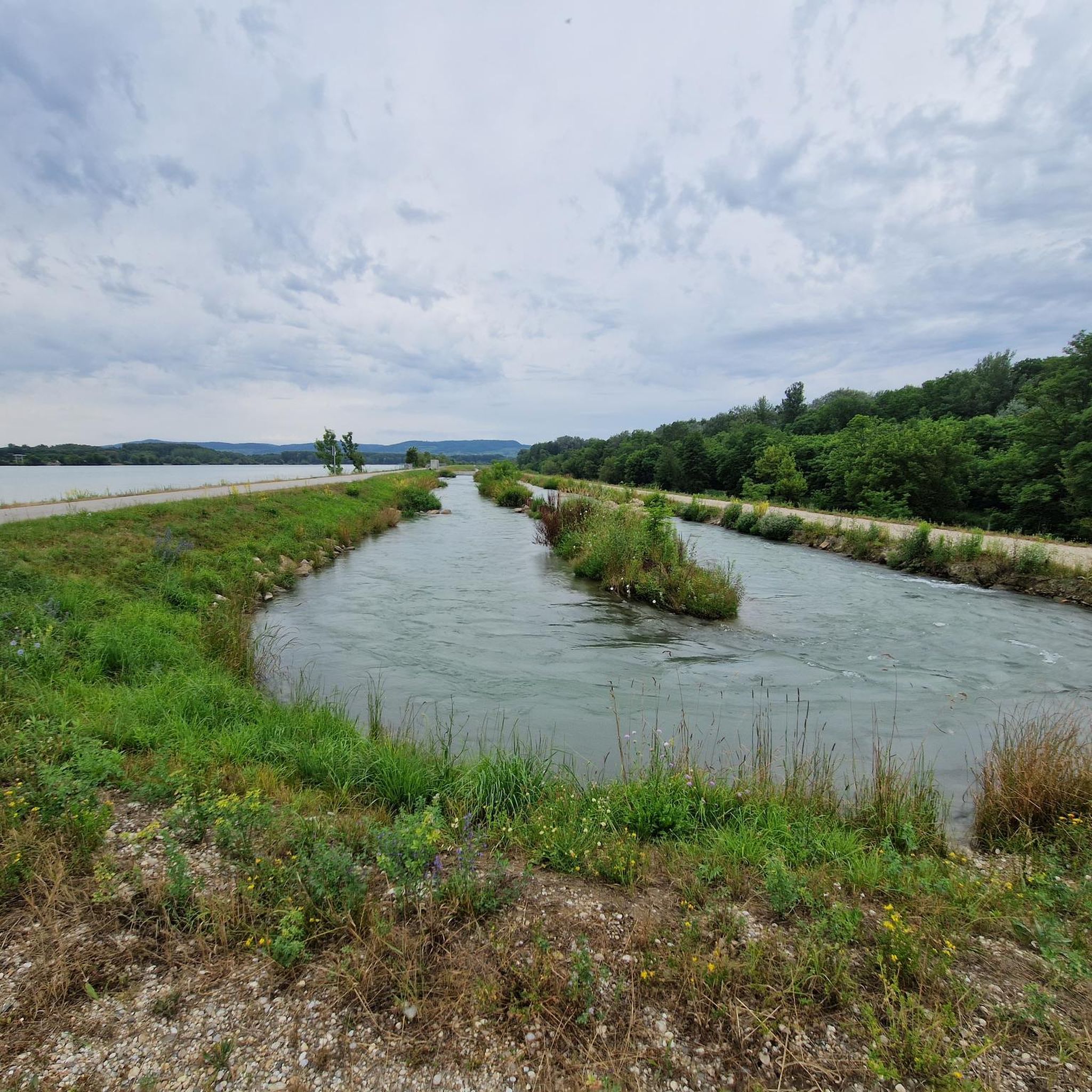
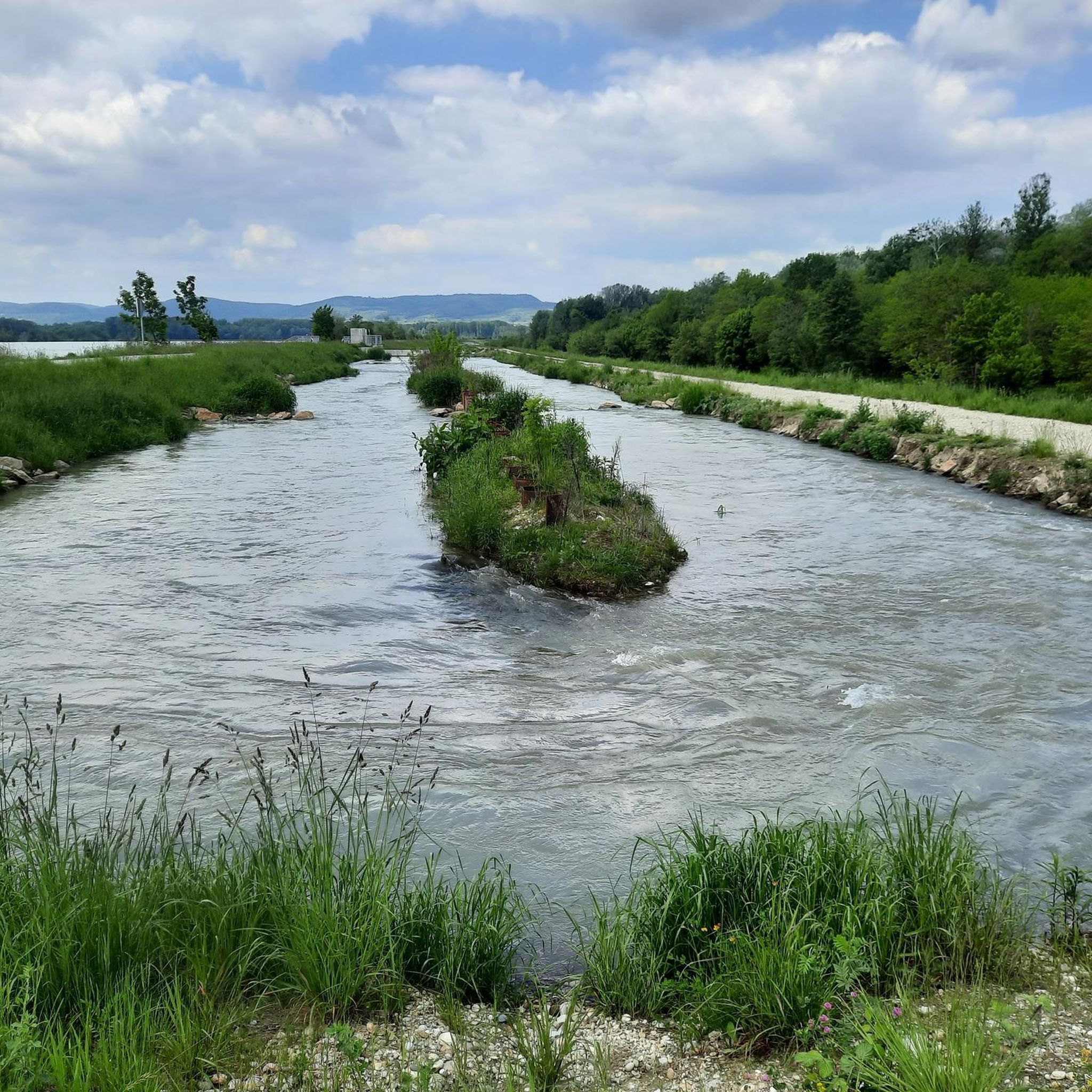
the confluence of the Krems had to be relocated due to the power plant construction
0
0
very well done and nice to look at
0
0
Frequently Asked Questions
How many mountain bike trails are available in Sandlau?
Sandlau features a comprehensive network of over 200 mountain bike trails. These routes are primarily situated around the forest areas of Bezirk Tulln, offering diverse options for riders.
What kind of terrain can I expect on mountain bike trails in Sandlau?
The region is characterized by relatively flat terrain with gentle elevation changes, making it accessible for various skill levels. You'll find routes that follow riverbanks, traverse open fields, and wind through wooded sections, providing a mix of natural paths and well-maintained tracks.
Are there easy mountain bike trails suitable for beginners or families in Sandlau?
Yes, Sandlau has a good selection of easy trails. There are 49 easy routes available, perfect for beginners or family outings. An example is the Last Kamp Bridge – View over the Danube loop from Grafenwörth, which is 20.9 miles (33.7 km) long and offers scenic views.
Are there any challenging mountain bike routes in Sandlau?
While the region is generally characterized by gentle terrain, there are 6 routes classified as difficult for those seeking more of a challenge. The majority of trails, 161 to be exact, fall into the moderate difficulty category, offering a good balance for experienced riders.
What is the best time of year to go mountain biking in Sandlau?
The best time for mountain biking in Sandlau is typically from spring through autumn (April to October) when the weather is mild and trails are dry. During these months, the riverine landscapes and forested sections are particularly enjoyable. Winter riding might be possible on some routes, but conditions can be variable due to snow or ice.
What are some scenic highlights or attractions along the mountain bike trails in Sandlau?
Many routes offer scenic views over the Danube and pass by interesting points. You might encounter attractions such as the Altenwörth fish pass, the Last Kamp Bridge, or the Swan Idyll. These highlights provide great spots for a break or to enjoy the local environment.
Are there mountain bike trails that form a loop in Sandlau?
Yes, many mountain bike trails in Sandlau are designed as loops, offering convenient starting and ending points. For instance, the Wayside shrine – Last Kamp Bridge loop from Grafenwörth is an easy 14.0-mile (22.6 km) loop that takes about 1 hour 9 minutes to complete.
What do other mountain bikers say about the trails in Sandlau?
The mountain bike trails in Sandlau are highly regarded by the komoot community, holding an average rating of 4.5 stars from over 300 reviews. Riders often praise the diverse terrain, the mix of riverside paths and open landscapes, and the well-maintained tracks that make for an enjoyable experience.
Are there any mountain bike routes that pass by places to eat or drink?
While specific pubs or restaurants directly on every trail are not listed, many routes pass through or near towns and villages like Grafenwörth or Altenwörth, where you can find local establishments to refuel. Planning your route with komoot allows you to identify such points of interest along the way.
How long do mountain bike trails in Sandlau typically take to complete?
Trail durations vary significantly based on distance and difficulty. For example, the Regentag Ship – Tulln Main Square loop from Altenwörth is a moderate 29.2-mile (47.1 km) trail that typically takes about 2 hours 26 minutes, while shorter, easier routes like the Last Kamp Bridge – Altenwörth fish pass loop from Grafenwörth (11.3 miles / 18.1 km) can be completed in just over an hour.
Is it possible to access mountain bike trails in Sandlau using public transport?
Sandlau and the surrounding Bezirk Tulln region are generally well-connected by public transport, including train and bus services that can bring you close to various trailheads. It's advisable to check local public transport schedules and bike carriage policies for specific routes and starting points.
Most popular routes in Sandlau
Most popular attractions in Sandlau

Get inspired with the komoot mobile app


Explore more
Browse the best MTB trails in other regions.
