The best running trails in Breitlüsser Wald
4.3
(226)
8,277
runners
327
runs
Jogging in Breitlüsser Wald offers a diverse landscape for runners, characterized by its extensive woodlands and varied elevation. The region features numerous trails that wind through forests and open areas, providing a mix of gradients suitable for different fitness levels. Many routes incorporate local points of interest, such as cafes or viewpoints, enhancing the running experience. The terrain generally consists of well-maintained paths and forest tracks, making it accessible for regular running activities.
Best jogging routes in Breitlüsser Wald
- The most popular jogging route is Land & Liebe Café loop from Haibach im Mühlkreis, a 3.7 miles (6.0 km) trail that takes about 40 minutes to complete, offering a pleasant loop with moderate elevation changes.
- Another top favourite among local runners is Zur Gis Inn – Giselawarte loop from Kirchschlag bei Linz, a difficult 20.8 miles (33.5 km) path. This route features significant elevation gain, leading to panoramic views from the Giselawarte.
- Local runners also love the Land & Liebe Café loop from Hellmonsödt, a 6.9 miles (11.1 km) trail leading through varied forest and open landscapes, often completed in about 1 hour 10 minutes.
- Jogging in Breitlüsser Wald is defined by dense woodlands, rolling hills, and scenic viewpoints. The network of routes offers options for different ability levels, from easy jogs to more challenging long-distance runs.
- The routes in Breitlüsser Wald are highly rated by the komoot community with an average score of 4.3 stars from over 190 reviews. More than 7,800 runners have used komoot to explore Breitlüsser Wald's varied terrain.
Last updated: July 2, 2026
19
runners
6.03km
00:39
70m
70m
Moderate run. Good fitness required. Mostly paved surfaces. Suitable for all skill levels.
5.0
(1)
14
runners
33.5km
04:02
1,050m
1,050m
Hard run. Very good fitness required. Mostly paved surfaces. Suitable for all skill levels.

Sign up for free
7
runners
11.1km
01:11
170m
170m
Moderate run. Good fitness required. Mostly paved surfaces. Suitable for all skill levels.
3.0
(1)
5
runners
5.45km
00:34
60m
60m
Moderate run. Good fitness required. Mostly paved surfaces. Suitable for all skill levels.
5.0
(2)
3
runners
6.92km
00:45
110m
110m
Moderate run. Good fitness required. Mostly paved surfaces. Suitable for all skill levels.
Get access to more routes and recommendations from other explorers.
Sign up for free
Already have an account?
Our route recommendations are based on thousands of hikes, rides, and runs completed by other people on komoot.
Start today with a free account
Your next adventure awaits.
Login or Signup
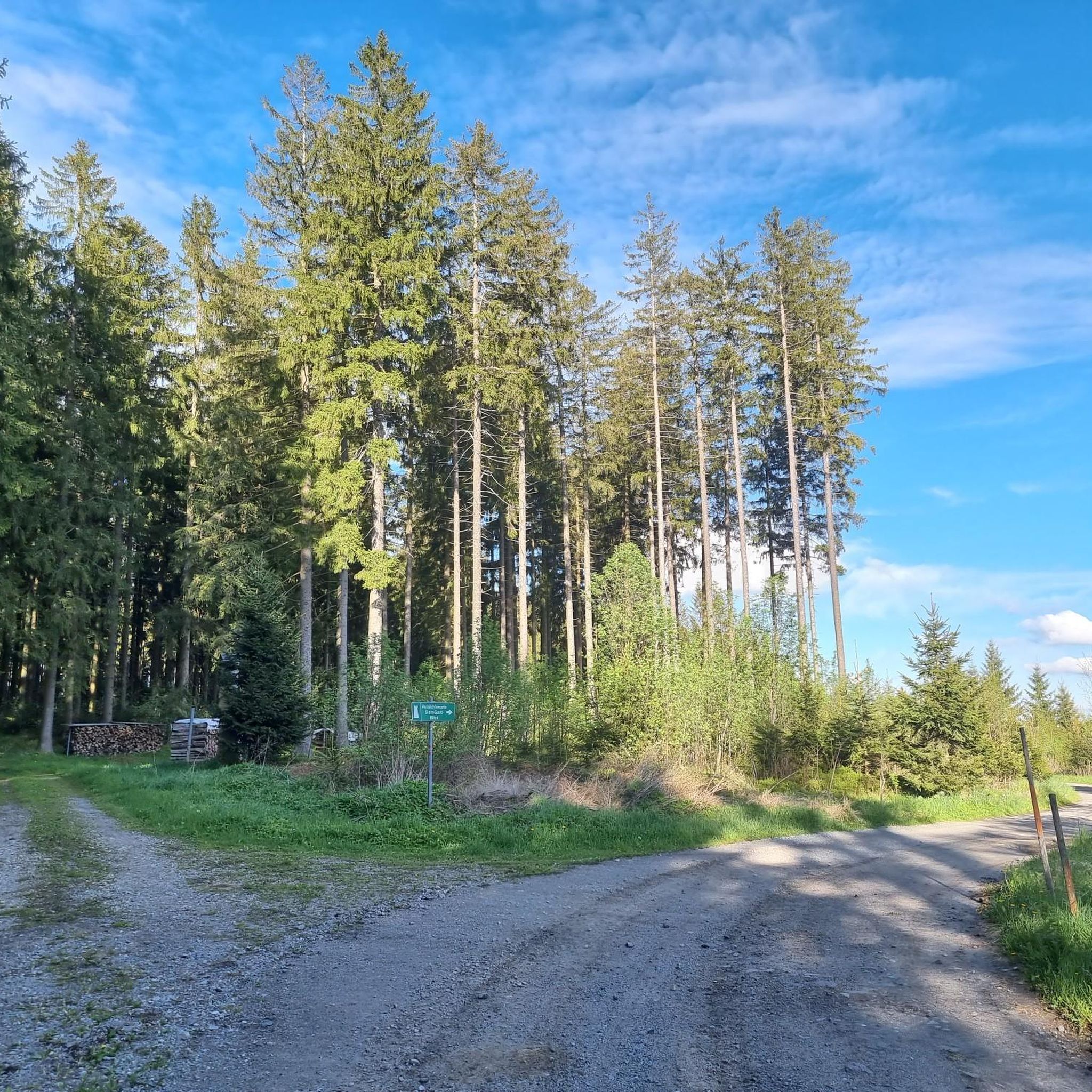
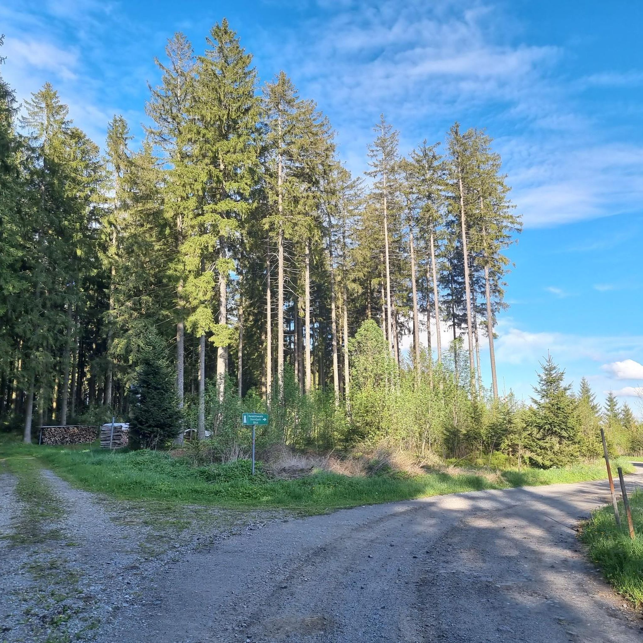
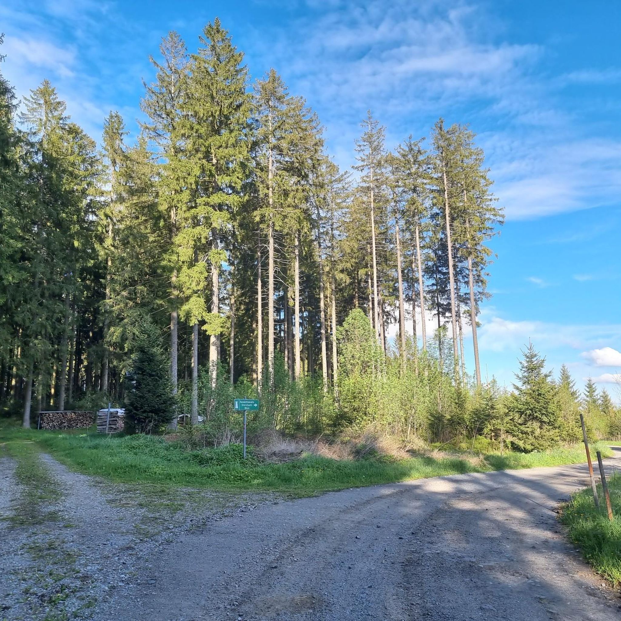
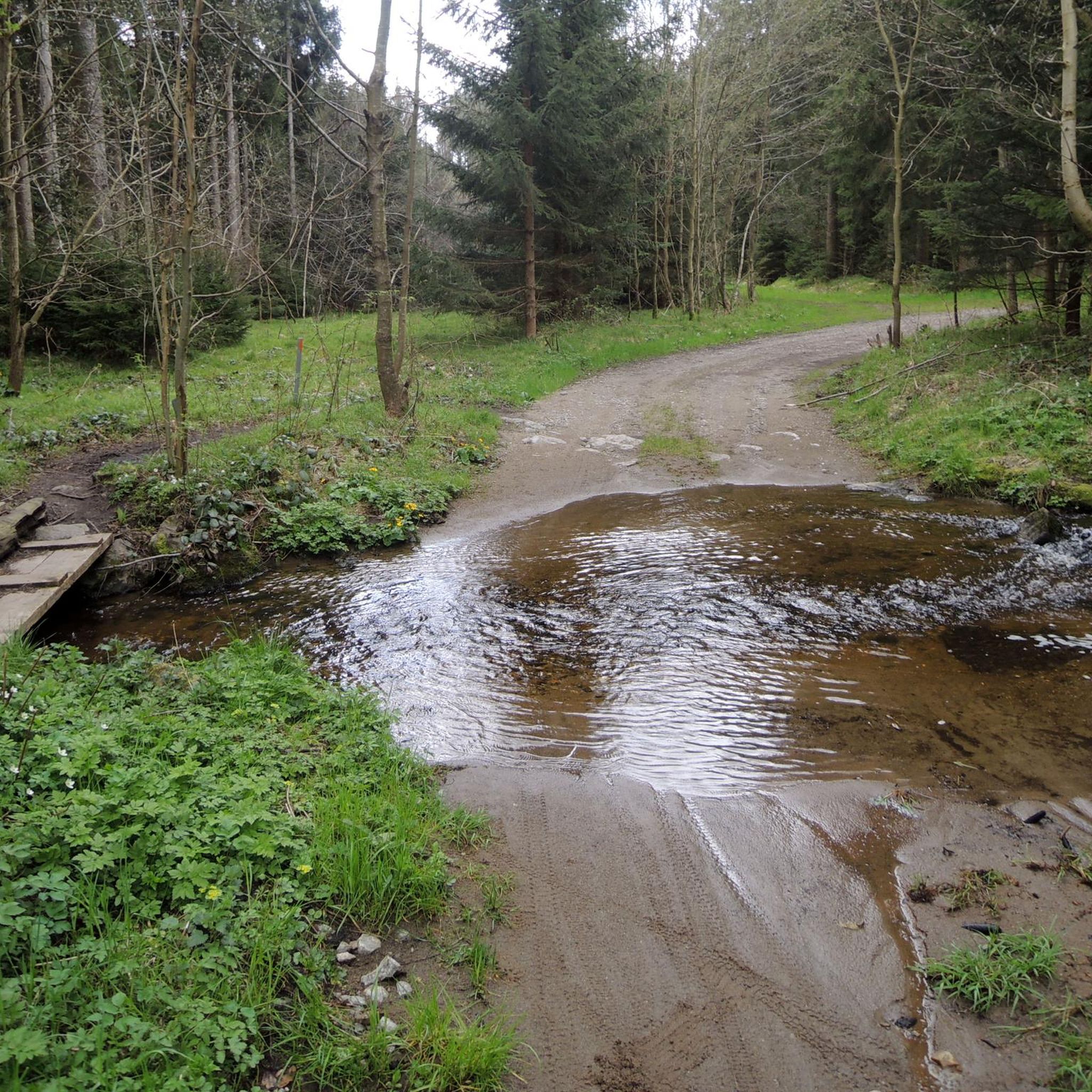


Tips from the Community

The summit cross on the Gis (Lichtenberg) was completely renewed and re-consecrated in June 2026!
3
0
Giselawarte was built in 1856 and named after Princess Gisela, a daughter of Emperor Franz Joseph. In 1960, it was increased by two stories.
3
0
Built in 1856 and named after Princess Gisela, a daughter of Emperor Franz Joseph. In 1960, two stories were added.
3
0

Built in 1856, the Giselawarte is located at 927m above sea level.
0
0

The parish church of St. Anne, with its attached parish office and parish hall, is well worth a visit.
0
0

Transmitter near Lichtenberg
6
0
Cross at the Gisela Tower
6
0

Frequently Asked Questions
How many running routes are available in Breitlüsser Wald?
Breitlüsser Wald offers a wide selection of running routes, with over 330 trails available for exploration. These range from easy jogs to more challenging long-distance runs, catering to various fitness levels.
Are there easy or beginner-friendly running routes in Breitlüsser Wald?
Yes, Breitlüsser Wald has several easy running options. For instance, the Land & Liebe Café loop from Haibach im Mühlkreis is a moderate 3.7-mile (6.0 km) trail with gentle elevation changes, perfect for a pleasant jog. There are 12 routes specifically classified as easy.
What kind of terrain can I expect on the running trails in Breitlüsser Wald?
The terrain in Breitlüsser Wald is characterized by dense woodlands and rolling hills. You'll find a mix of well-maintained paths and forest tracks, offering varied landscapes and gradients suitable for different running experiences.
Are there any circular running routes in Breitlüsser Wald?
Many of the running routes in Breitlüsser Wald are designed as loops. A popular example is the Land & Liebe Café loop from Hellmonsödt, which is a 6.9-mile (11.1 km) trail leading through varied forest and open landscapes, ideal for a continuous run.
What do other runners enjoy most about jogging in Breitlüsser Wald?
The running routes in Breitlüsser Wald are highly rated by the komoot community, with an average score of 4.3 stars from over 190 reviews. Runners often praise the diverse landscape, the mix of forest and open areas, and the well-maintained paths that make for an enjoyable experience.
Are there any scenic viewpoints along the running trails?
Yes, some routes offer scenic viewpoints. For a challenging run with panoramic rewards, consider the Zur Gis Inn – Giselawarte loop from Kirchschlag bei Linz. This difficult 20.8-mile (33.5 km) path features significant elevation gain, leading to stunning views from the Giselawarte.
What are some interesting landmarks or attractions near the running routes?
While running in Breitlüsser Wald, you might encounter several points of interest. These include the historic French cross / stone cross in Kirchbühel or the intriguing Witch Stone. The area also features the peaceful Waldkapelle Oberaigen "Mary, Queen of Peace".
Are there any cafes or places to get refreshments near the running trails?
Yes, some routes incorporate local points of interest like cafes. The Land & Liebe Café loop from Haibach im Mühlkreis, for example, suggests a route that passes by a cafe, offering a convenient stop for refreshments.
Is Breitlüsser Wald suitable for family-friendly running or walking?
Breitlüsser Wald offers a variety of routes, and many of the easier and moderate trails are suitable for families looking for a pleasant run or walk together. The well-maintained paths and varied scenery make it an enjoyable outdoor experience for all ages.
What is the best time of year to go running in Breitlüsser Wald?
Breitlüsser Wald is enjoyable for running throughout much of the year. The dense woodlands provide shade in warmer months, while the well-maintained forest tracks can be suitable for winter running, depending on snow conditions. Spring and autumn offer particularly beautiful scenery with changing foliage.
Are there options for longer, more challenging runs?
Absolutely. For experienced runners seeking a significant challenge, the Zur Gis Inn – Giselawarte loop from Kirchschlag bei Linz is a difficult 20.8-mile (33.5 km) route with substantial elevation gain, providing a demanding and rewarding experience.
How accessible are the running routes by public transport?
While specific public transport details for each trailhead vary, many routes start from villages or towns that may have public transport connections. It's advisable to check local bus schedules for access points near your chosen starting location.
Most popular routes in Breitlüsser Wald
Most popular attractions in Breitlüsser Wald

Get inspired with the komoot mobile app


Explore more
Browse the best Running Trails & Routes in other regions.
