The best walks and hikes in Unterer Weilhartforst
4.5
(2636)
14,543
hikers
774
hikes
Hiking in Unterer Weilhartforst offers trails through a landscape shaped by its glacial past, featuring hilly morainic terrain. The region is characterized by diverse natural features, including bogs and still waters like the Huckinger Seen, which are remnants of the Ice Age. The forest itself is predominantly composed of beeches and spruces, with some areas also containing firs and larches, providing varied environments for hikers. This area, located in Upper Austria near the Bavarian border, provides a well-developed network of…
Last updated: October 4, 2026
4.8
(23)
89
hikers
12.2km
03:21
190m
190m
Moderate hike. Good fitness required. Easily-accessible paths. Suitable for all skill levels.
4.5
(16)
41
hikers
5.50km
01:28
60m
60m
Easy hike. Great for any fitness level. Easily-accessible paths. Suitable for all skill levels.

4.5
(13)
37
hikers
Easy hike. Great for any fitness level. Easily-accessible paths. Suitable for all skill levels.
5.0
(1)
4
hikers
11.3km
03:03
140m
140m
Moderate hike. Good fitness required. Easily-accessible paths. Suitable for all skill levels.
9
hikers
Easy hike. Great for any fitness level. Easily-accessible paths. Suitable for all skill levels.
Get access to more routes and recommendations from other explorers.
Already have an account?
Our route recommendations are based on thousands of hikes, rides, and runs completed by other people on komoot.
Start today with a free account
Your next adventure awaits.
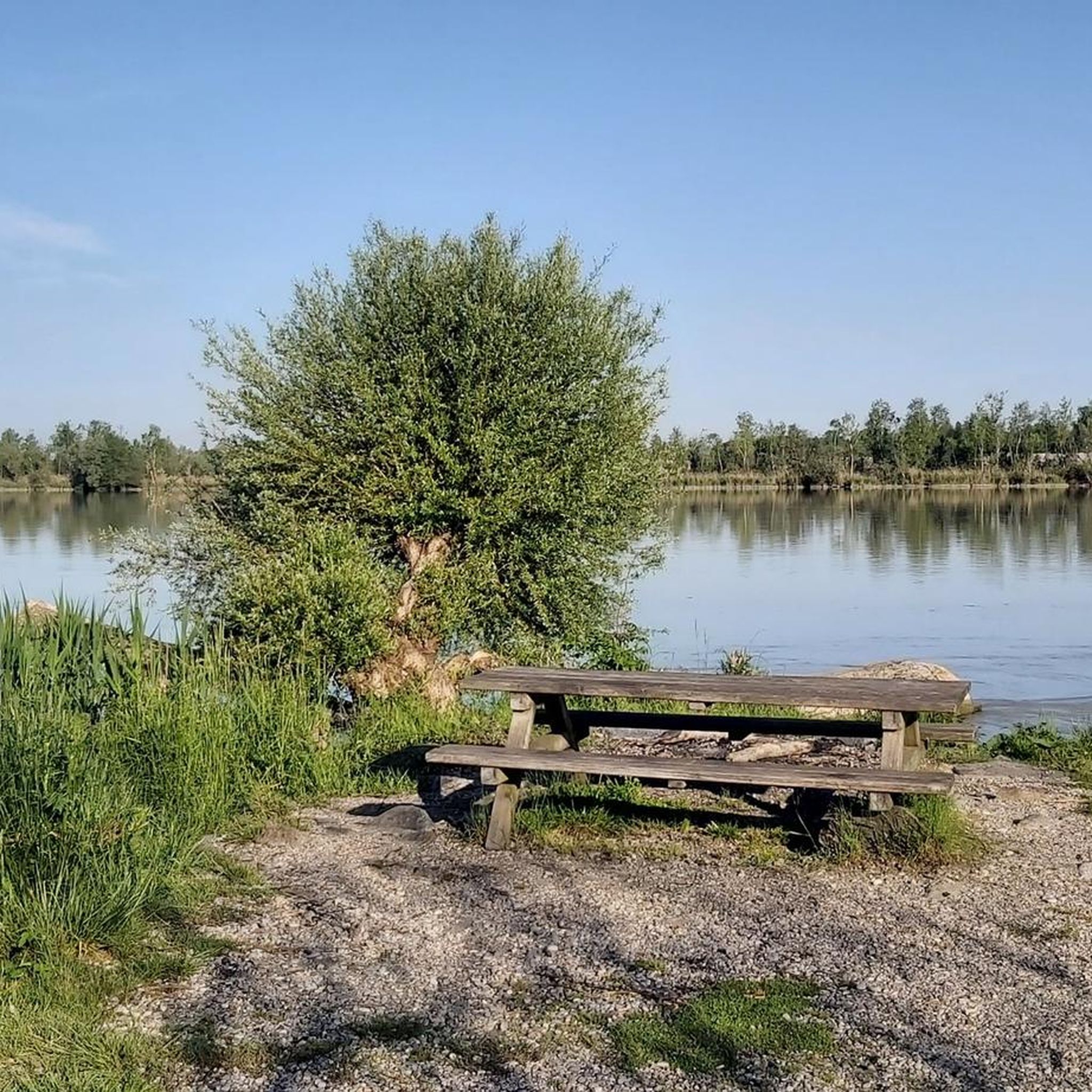
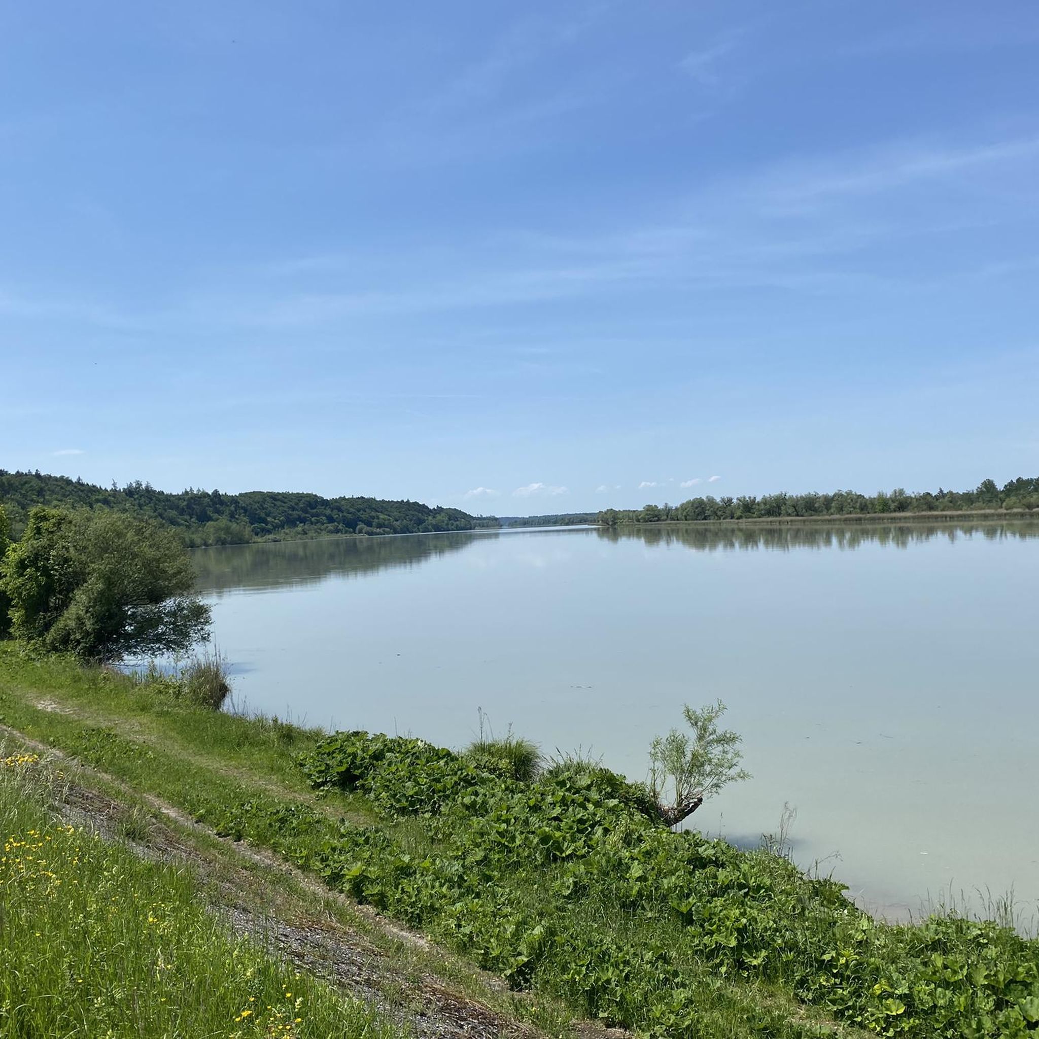
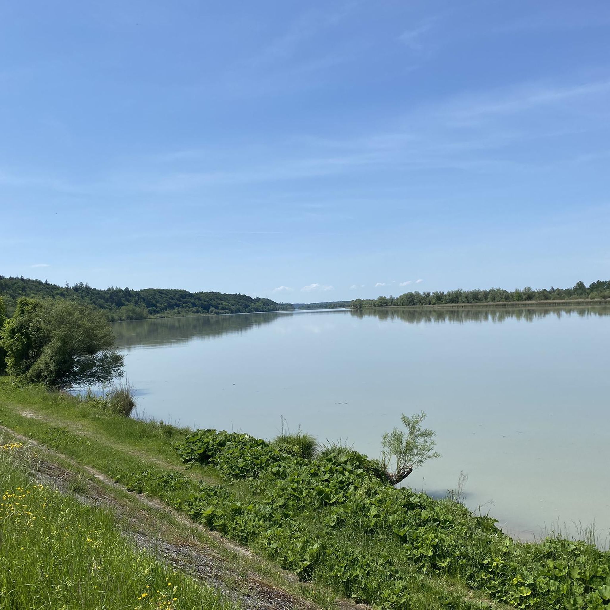
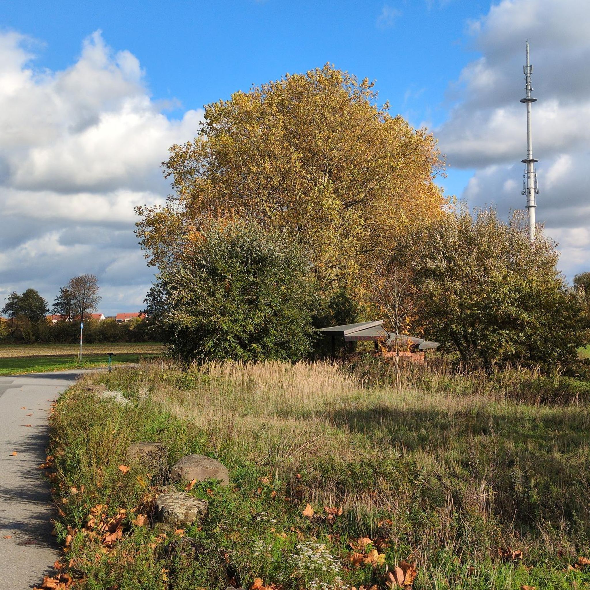
Tips from the Community


1.051 meters, six castle courtyards, magnificent gardens, two chapels, and a breathtaking panorama: Burghausen Castle is not only the longest castle in the world, it is a masterpiece of medieval architecture and the heart of the city. As you stroll through the centuries on a walk through the castle courtyards and finally cross a massive wooden bridge through the mighty iron gate into the defiant main castle, you are transported to the pure Middle Ages and experience a unique piece of European history. The first expansion of the castle began in the 11th century, followed by further development as the seat of the Counts of Burghausen in the 12th century. The fortress complex took on its present form in the 15th century under the wealthy Lower Bavarian Dukes, particularly Duke Henry XIII and Duke George the Rich. Source:https://www.visit-burghausen.com/weltlaengste-burg
17
0

Unfortunately, the chapel was closed
1
0

A wonderful viewpoint with seating area, offering a view of the Salzach estuary.
0
0

Extremely steep and very slippery ascent due to fallen leaves
0
0

The current structure, a steel and concrete bridge, was inaugurated in 1963 – three years after the "New Bridge" further upstream. Locals still refer to it as the "Old Bridge," as it was first mentioned in 1272 and had several predecessors, which were completely or partially destroyed at least 12 times by floods and 6 times by ice jams. In 1809, Austrian troops rendered the bridge unusable to hinder Napoleon I Bonaparte's advance to Vienna. During a minor flood in 1959, a work platform that broke loose from the "New Bridge" severely damaged the "Old Bridge," before the major flood of the same year destroyed the temporary bridge that had been erected at short notice; for a time, there was no permanent crossing of the Salzach River near Burghausen, only a ferry service. This flood – with a maximum water level of 8.14 meters, one of Burghausen's worst – was the catalyst for the construction of the flood protection wall.
2
0
Frequently Asked Questions
What types of hiking trails can I find in Unterer Weilhartforst?
Unterer Weilhartforst offers a diverse network of trails catering to various fitness levels. You'll find a mix of easy, moderate, and a few more challenging routes. The landscape, shaped by its glacial past, features hilly morainic terrain, dense forests, and tranquil still waters like the Huckinger Seen.
Are there any easy or beginner-friendly hikes in Unterer Weilhartforst?
Yes, the region is well-suited for beginners and those looking for easier walks. There are over 490 easy routes available. An example is the Scenic Forest Path – Inn River Cycle Path loop from Ratzlburg, an easy 3.6-mile (5.7 km) path that combines peaceful forest sections with scenic views along the Inn River.
What are the main natural attractions or landmarks to see while hiking?
The primary natural attractions are the unique landscapes shaped by glacial activity, including bogs and the serene Huckinger Seen, which are remnants of the Ice Age. The forest itself, with its mix of beeches, spruces, firs, and larches, provides varied and scenic environments. You can also find points of interest like the View of the confluence of the Inn and Salzach.
Are there any circular hiking routes in Unterer Weilhartforst?
Yes, many of the trails in Unterer Weilhartforst are circular, allowing you to start and end at the same point. A popular option is the Burghausen Castle – Wöhrsee Bridge loop from Burghausen, a 7.2-mile (11.7 km) trail offering views of the historic castle and the Wöhrsee.
Is Unterer Weilhartforst suitable for family hikes?
Absolutely. The region offers many easy and moderate trails that are suitable for families. The peaceful forest paths and the natural beauty of areas like the Huckinger Seen provide a pleasant environment for walks with children. Consider routes that are shorter in distance and have minimal elevation gain.
Can I bring my dog on the hiking trails?
Most trails in Unterer Weilhartforst are dog-friendly, but it's always recommended to keep your dog on a leash, especially in areas with wildlife or near other hikers. The broad forest paths provide ample space for you and your canine companion to enjoy the natural surroundings.
What is the best time of year to go hiking in Unterer Weilhartforst?
The region is enjoyable for hiking throughout much of the year. Spring and autumn offer pleasant temperatures and beautiful scenery with changing foliage. Summer provides lush green forests and shade, while winter can offer serene, snow-covered landscapes, though some paths might be less accessible depending on conditions.
What do other hikers say about the trails in Unterer Weilhartforst?
The trails in Unterer Weilhartforst are highly regarded by the komoot community, with an average rating of 4.5 stars from over 2,200 reviews. Hikers often praise the tranquility of the woodlands, the well-developed network of paths, and the scenic beauty of the glacial landscapes and still waters.
Are there any historical sites or castles near the hiking routes?
While the forest itself is primarily natural, the nearby villages at its edge offer historical points of interest. For example, Hochburg is home to Castell Castle. You can explore routes like the Salzach Gorge – View of Burghausen Castle loop from Burghausen, which offers views of the historic Burghausen Castle.
How many hiking routes are available in Unterer Weilhartforst?
There are over 770 hiking routes recorded in Unterer Weilhartforst on komoot, offering a wide variety of options for all skill levels and preferences.
Are there any trails that follow rivers or offer water views?
Yes, several routes incorporate views of the Inn River. For instance, the Inn River Cycle Path – Scenic Forest Path loop from Inn-Salzachblick is a 3.0-mile (4.9 km) trail that leads through mixed forest and along the Inn River, providing pleasant water views.
Where can I find parking for hiking trails in Unterer Weilhartforst?
Parking is generally available at common starting points for trails, often near the edges of the forest or in the surrounding villages like Hochburg, Geretsberg, and Überackern. Specific parking information is usually detailed on individual route pages on komoot.
Most popular routes in Unterer Weilhartforst
Most popular attractions in Unterer Weilhartforst

Get inspired with the komoot mobile app


Explore more
Browse the best Hikes in other regions.
