The best walks and hikes in Schermannsöd
4.5
(601)
2,556
hikers
282
hikes
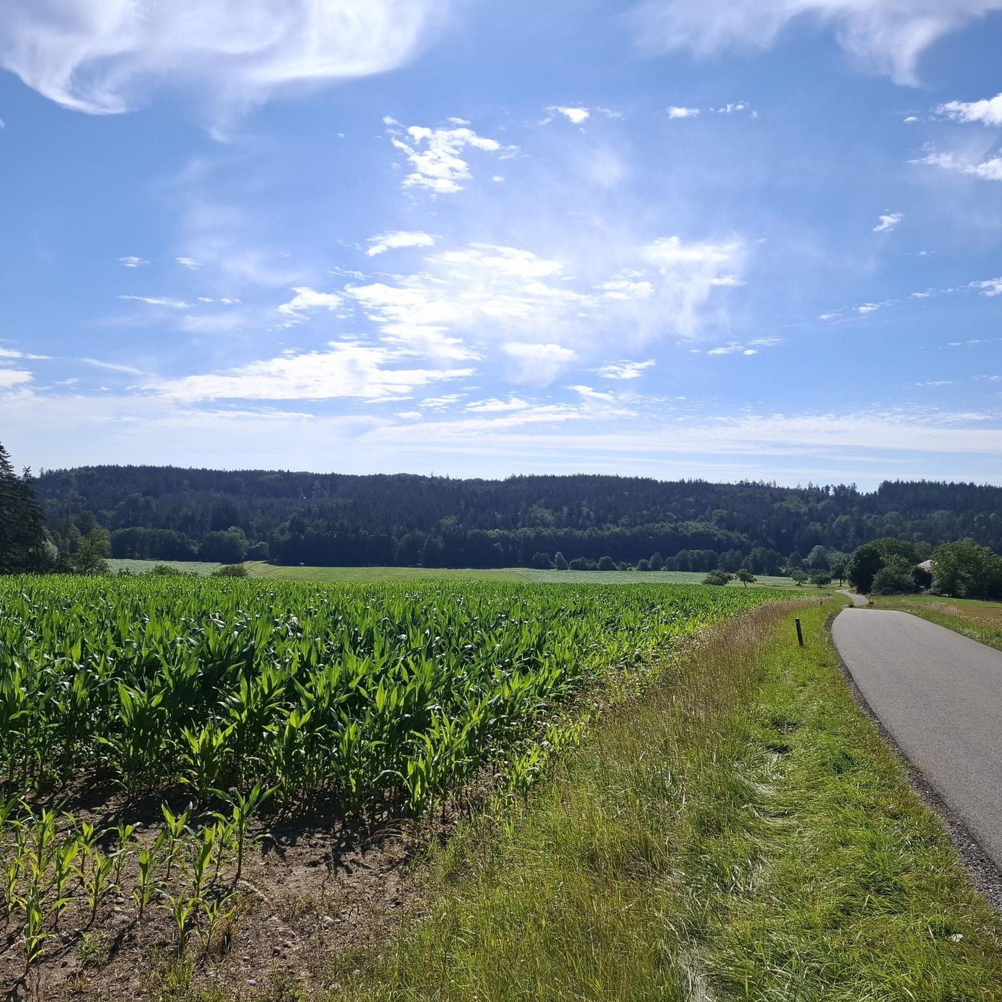
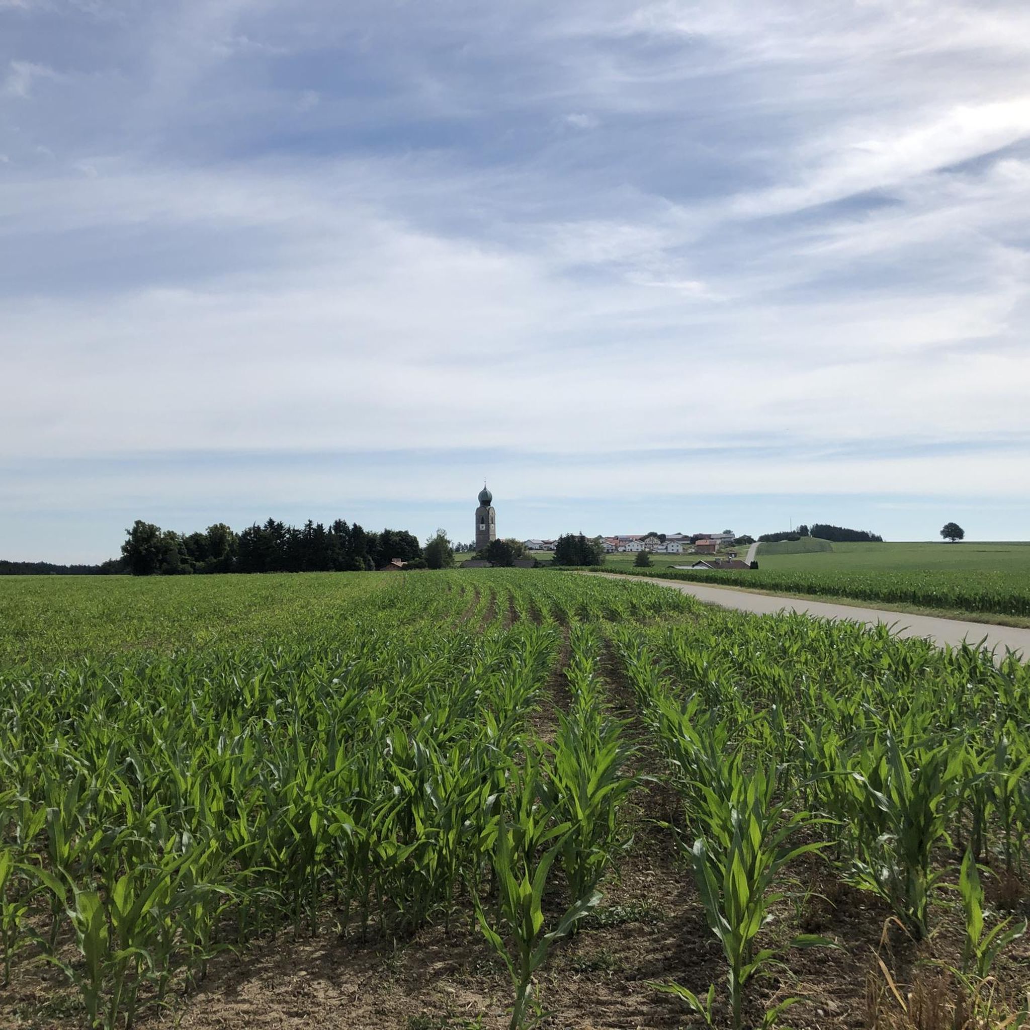
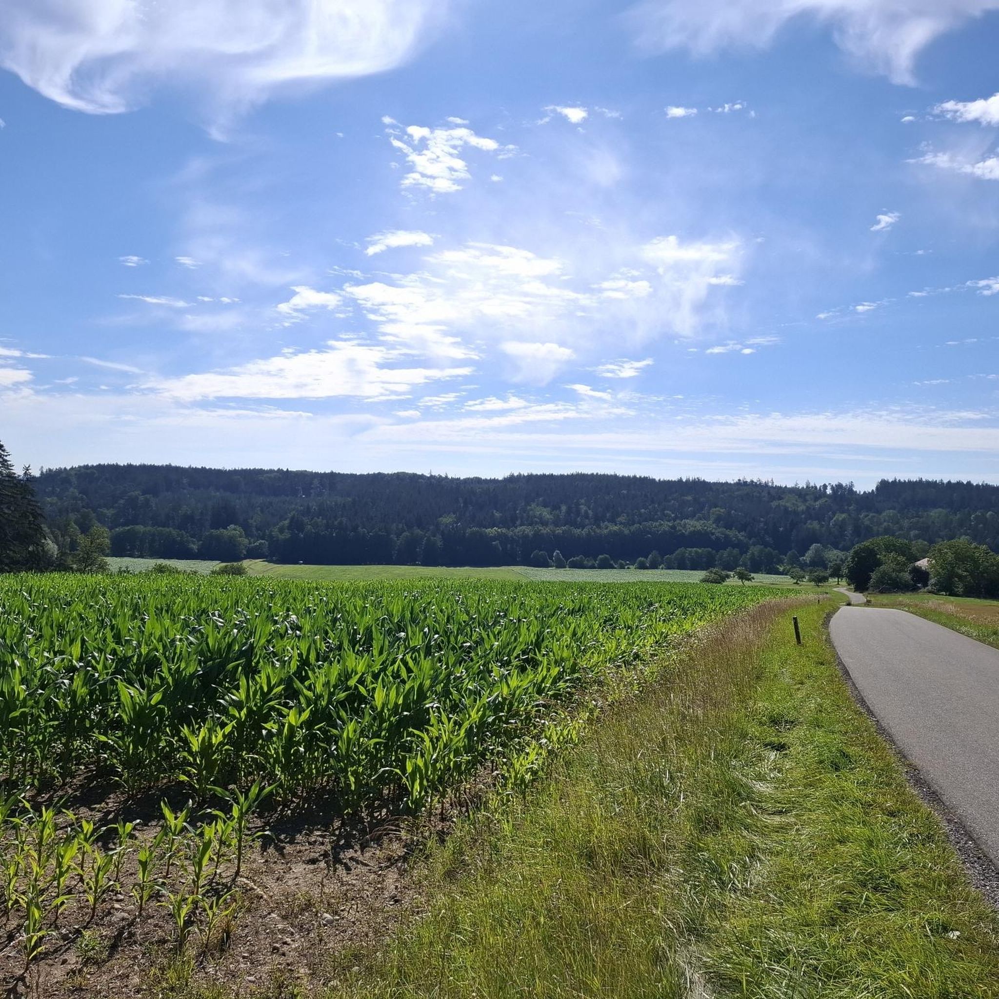
Hiking in Schermannsöd, located in the Landkreis Mühldorf am Inn, Bavaria, offers diverse trails through forest landscapes. The region is part of the broader Inn-Salzach area, with routes often featuring views or proximity to the Inn River. Terrain includes gentle paths and moderate ascents, providing options for various fitness levels.
Best hiking trails in Schermannsöd
- The most popular hiking route is Hamperer Chapel loop from Schermannsöd, an easy 3.9 miles (6.3 km) trail that takes about 1 hour 40…
Last updated: June 27, 2026
3.0
(1)
4
hikers
6.28km
01:39
60m
60m
Easy hike. Great for any fitness level. Easily-accessible paths. Suitable for all skill levels.
3.0
(1)
4
hikers
10.0km
02:43
140m
140m
Moderate hike. Good fitness required. Easily-accessible paths. Suitable for all skill levels.

Sign up for free
4.6
(11)
27
hikers
13.7km
03:41
150m
150m
Moderate hike. Good fitness required. Easily-accessible paths. Suitable for all skill levels.
4
hikers
5.32km
01:23
40m
40m
Easy hike. Great for any fitness level. Easily-accessible paths. Suitable for all skill levels.
5.0
(1)
3
hikers
Moderate hike. Good fitness required. Easily-accessible paths. Suitable for all skill levels.
Get access to more routes and recommendations from other explorers.
Sign up for free
Already have an account?
Our route recommendations are based on thousands of hikes, rides, and runs completed by other people on komoot.
Start today with a free account
Your next adventure awaits.
Login or Signup
Tips from the Community


Beautiful spot with a great view. There's a bench for a snack.
0
0

Great view from the Schlossberg and an interesting history of the Schlossberg Chapel.
0
0

A romantic place with a view
0
0

Branch church of St. Maximilian "Maxloner Kirche" The church was first mentioned in 1481 as a chapel at Kirmerhof. The church of Maxlo also has an Innocent Kind Cemetery. Unbaptized children were buried here outside the cemetery walls. Source: https://www.erzbistum-muenchen.de/pfarrei/pv-kraiburg/cont/74531
0
0

Great view Top area
0
0

In 2022, this unique chapel was built by the Scherer family as a chapel of gratitude.
0
0
Frequently Asked Questions
What kind of terrain can I expect on hiking trails in Schermannsöd?
Schermannsöd offers a diverse range of terrain. You'll find trails leading through beautiful forest landscapes, along riverbanks, and paths with moderate ascents. The region is part of the Inn-Salzach area, so some routes provide views or proximity to the Inn River. Options range from gentle paths suitable for leisurely strolls to more challenging routes requiring good basic fitness.
Are there any viewpoints or notable landmarks to see while hiking in Schermannsöd?
Yes, a significant landmark in the area is the Aussichtsturm Schnaitsee, an observation tower offering panoramic views that can extend to the Bavarian Alps on clear days. You can experience this viewpoint on routes like the Schnaitsee Observation Tower – Corona Chapel Schnaitsee loop from Buchet. Additionally, several trails feature charming chapels, such as the Zieglerhof Chapel – Inn Riverbank View loop from Kraiburg am Inn (VGem).
How many hiking trails are available in the Schermannsöd area?
There are over 300 hiking routes available in the Schermannsöd area. These include a wide variety of options, with approximately 174 easy trails, 121 moderate trails, and 5 more difficult routes, ensuring something for every fitness level.
Are there family-friendly hiking options in Schermannsöd?
Yes, Schermannsöd offers several easy trails suitable for families. The Hamperer Chapel loop from Schermannsöd is an easy 3.9-mile (6.3 km) route through local woodlands, perfect for a relaxed family outing. Many other easy routes are available, providing gentle paths and manageable distances.
What do other hikers say about the trails in Schermannsöd?
The hiking trails in Schermannsöd are highly regarded by the komoot community, with an average rating of 4.5 stars from over 500 reviews. Hikers often praise the quiet woodlands, varied landscapes, and well-maintained paths that offer enjoyable experiences for all skill levels.
Are there circular hiking routes available in Schermannsöd?
Yes, many of the trails in Schermannsöd are designed as circular routes, allowing you to start and end at the same point. Examples include the popular Hamperer Chapel loop from Schermannsöd and the St. George's Church in Sonham loop from Taufkirchen, which offers a pleasant 5.3 km walk.
What is the best time of year to go hiking in Schermannsöd?
The region is generally pleasant for hiking from spring through autumn, when the forest landscapes are vibrant and the weather is mild. While specific seasonal conditions aren't detailed, the diverse terrain makes it enjoyable across these seasons. Winter hiking may also be possible, but trail conditions should be checked for snow or ice.
Are dogs allowed on the hiking trails in Schermannsöd?
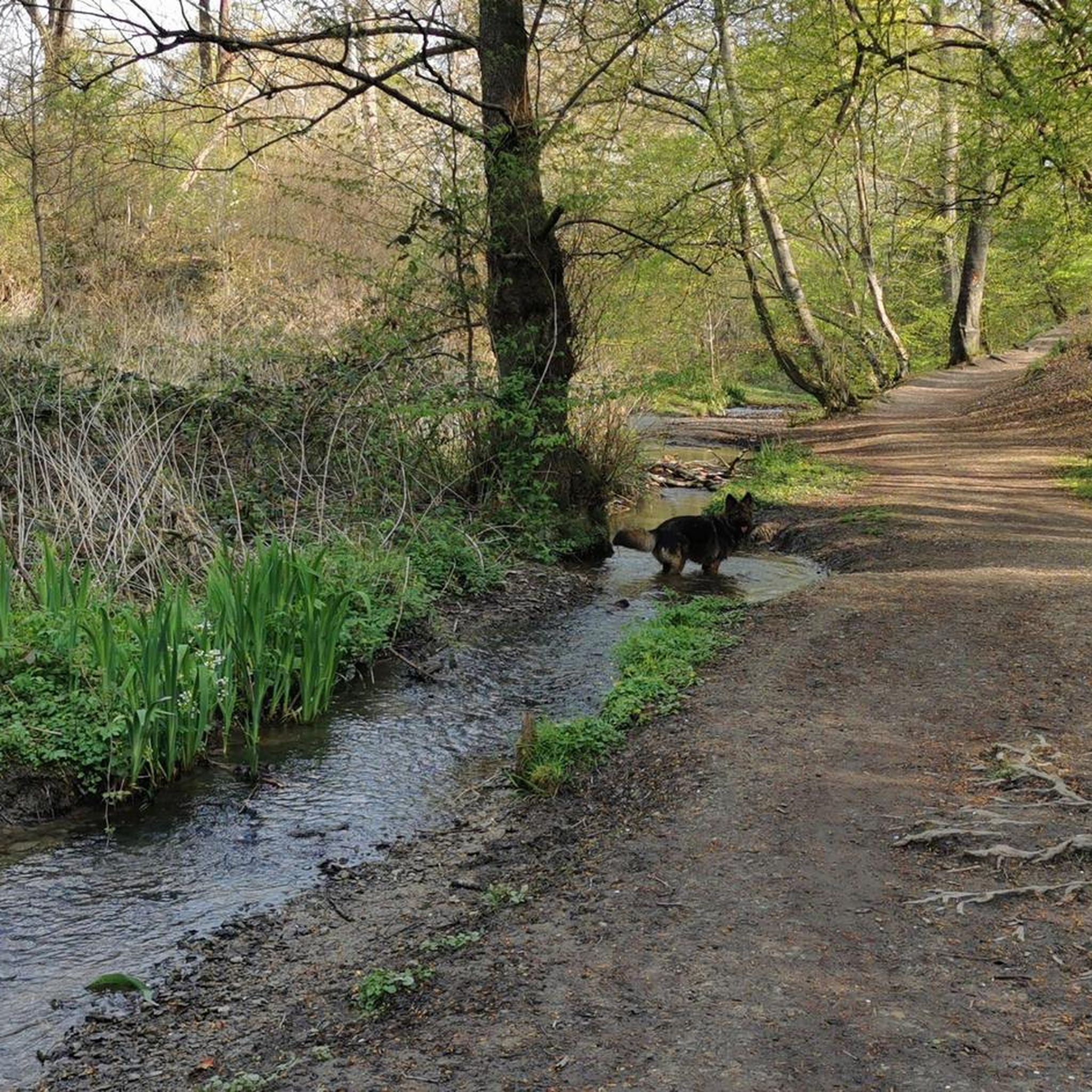
Generally, dogs are welcome on hiking trails in the Schermannsöd region. However, it's always advisable to keep them on a leash, especially in forested areas or near wildlife, and to respect local regulations. Always carry bags to clean up after your pet.
Are there any longer, more challenging hikes in the Schermannsöd area?
While most trails are easy to moderate, there are options for those seeking a longer hike. For instance, the Wild Mountain Trail – Steep mountain trail loop from Köllerersiedlung is a moderate 11.1 km route with notable elevation changes, requiring good basic fitness.
Where can I find parking for hiking trails in Schermannsöd?
Parking availability varies by trailhead. For routes starting from specific villages or attractions, designated parking areas are often available. For example, trails originating from Kraiburg am Inn or near the Aussichtsturm Schnaitsee typically have parking facilities nearby. It's recommended to check the specific tour details on komoot for parking information related to your chosen route.
Can I reach hiking trails in Schermannsöd using public transport?
While Schermannsöd is located in a rural area, some trailheads may be accessible via local public transport, particularly those starting from larger nearby towns like Kraiburg am Inn or Taufkirchen. However, direct access to all trailheads might be limited. It's best to research specific bus routes or train connections to the starting points of your desired hikes.
Most popular routes in Schermannsöd

Get inspired with the komoot mobile app


Explore more
Browse the best Hikes in other regions.
