The best mountain hikes in Ebnetriedel
4.7
(50)
888
hikers
26
hikes
Mountaineering in Ebnetriedel offers a range of challenging routes within a mountainous environment. The region, situated near Bezirk Hallein, provides terrain suitable for experienced mountaineers. These routes often feature significant elevation gains, leading to high-altitude experiences. The landscape is characterized by the demands of mountain ascent and descent.
Best mountaineering routes in Ebnetriedel
- The most popular mountaineering route is Scheiblingkogel Summit – Leo Ertl Trail loop from Lammeröfen, a 9.7 miles (15.7 km) trail that takes about 7 hours…
Last updated: August 11, 2026
5.0
(2)
12
hikers
15.5km
07:24
1,620m
1,620m
Hard mountaineering route. Very good fitness required. Easily-accessible paths. Suitable for all skill levels.
5.0
(1)
32
hikers
8.07km
04:33
750m
750m
Hard mountaineering route. Good fitness required. Sure-footedness, sturdy shoes and alpine experience required.

Sign up for free
5.0
(3)
29
hikers
14.8km
07:51
1,230m
1,230m
Hard mountaineering route. Very good fitness required. Sure-footedness, sturdy shoes and alpine experience required.
4.8
(4)
18
hikers
9.20km
05:10
860m
860m
Hard mountaineering route. Very good fitness required. Sure-footedness, sturdy shoes and alpine experience required.
5.0
(1)
15
hikers
11.1km
05:16
880m
880m
Hard mountaineering route. Very good fitness required. Sure-footedness, sturdy shoes and alpine experience required.
Get access to more routes and recommendations from other explorers.
Sign up for free
Already have an account?
Our route recommendations are based on thousands of hikes, rides, and runs completed by other people on komoot.
Start today with a free account
Your next adventure awaits.
Login or Signup
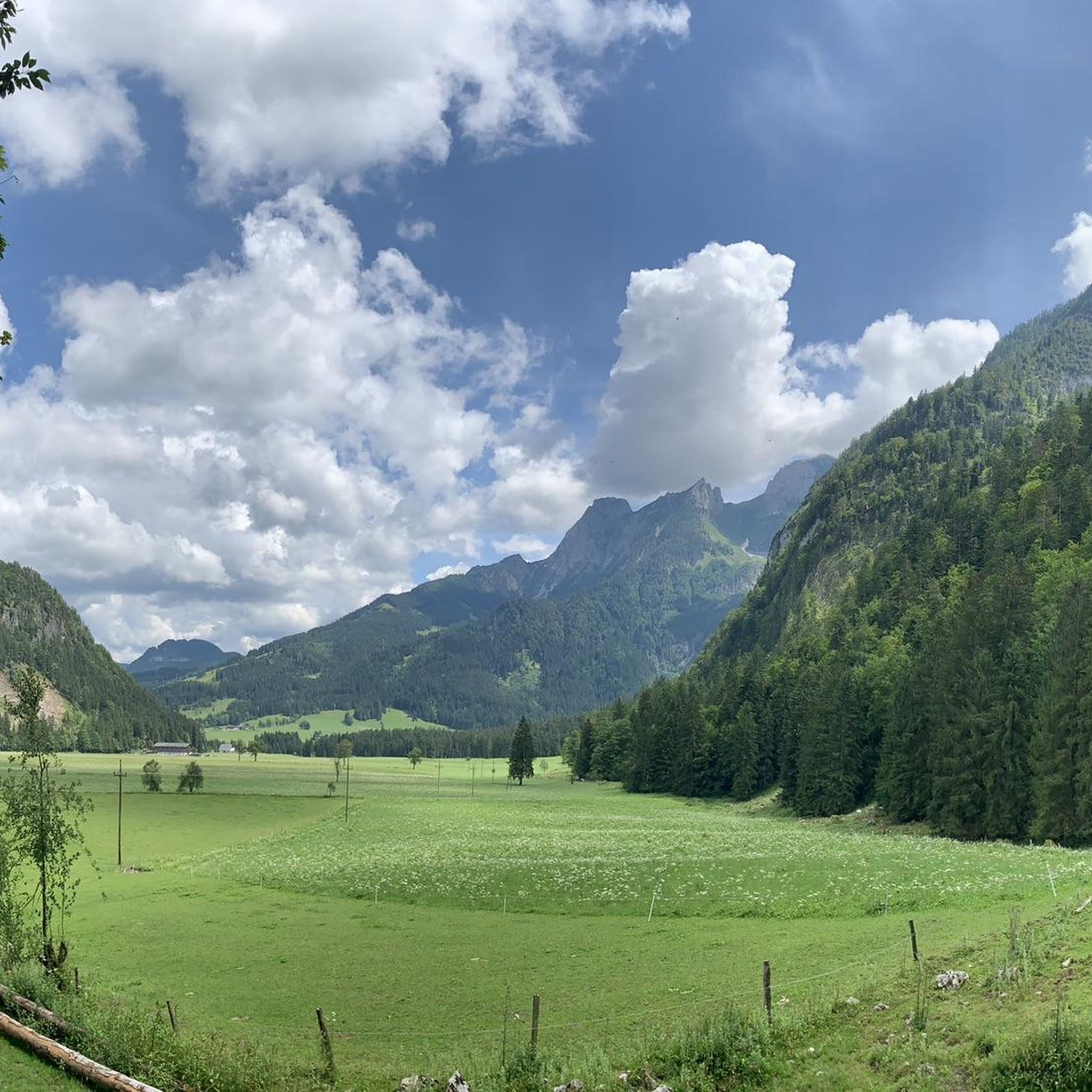
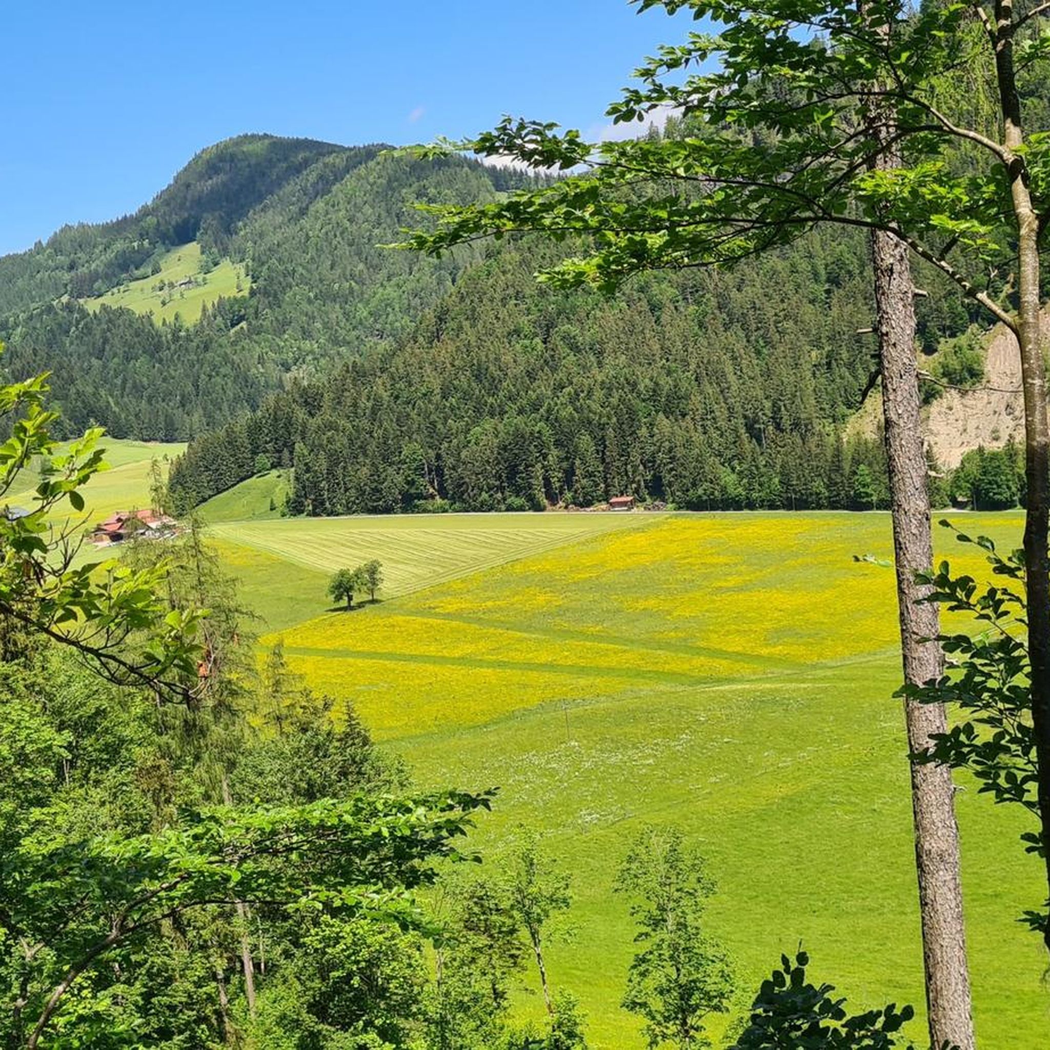

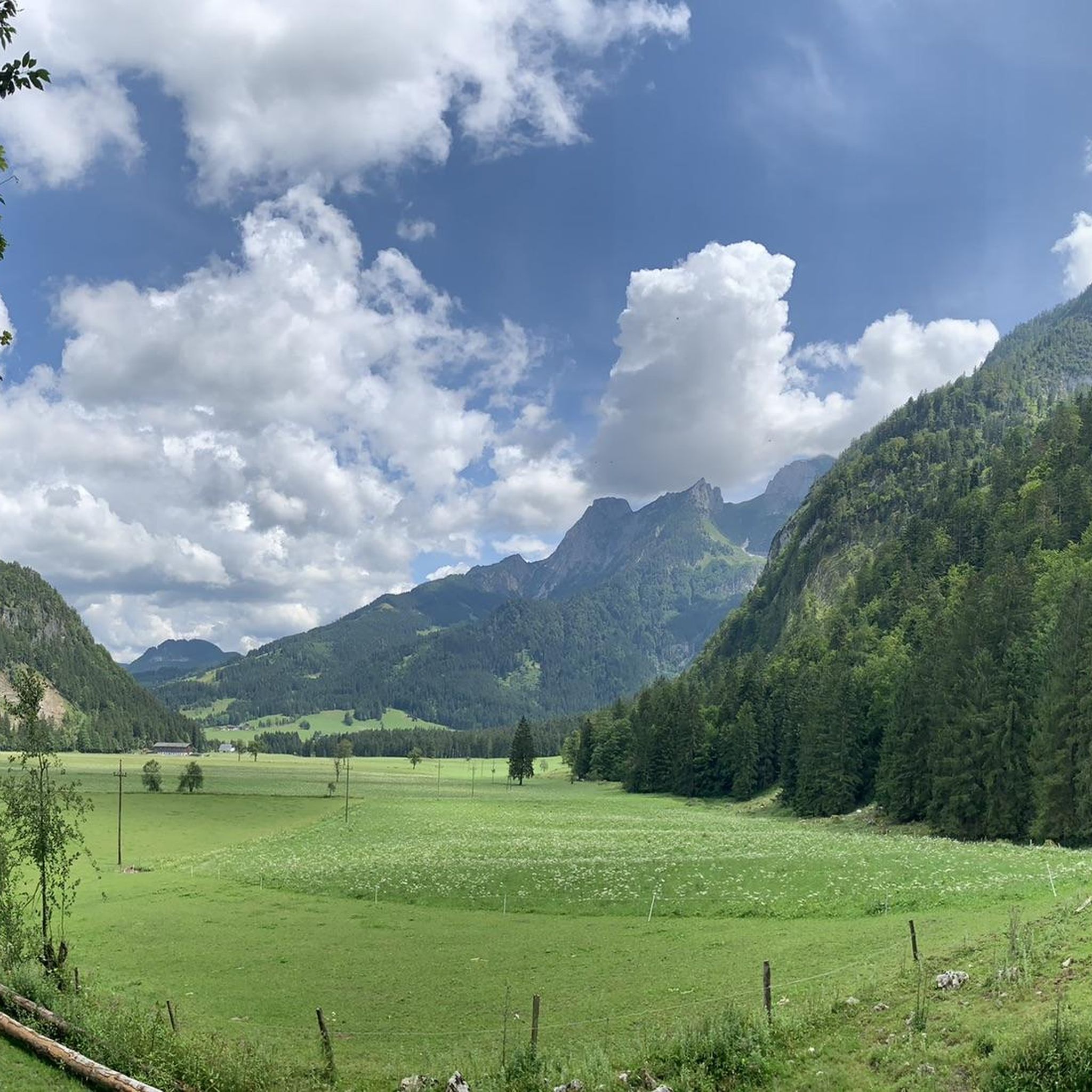
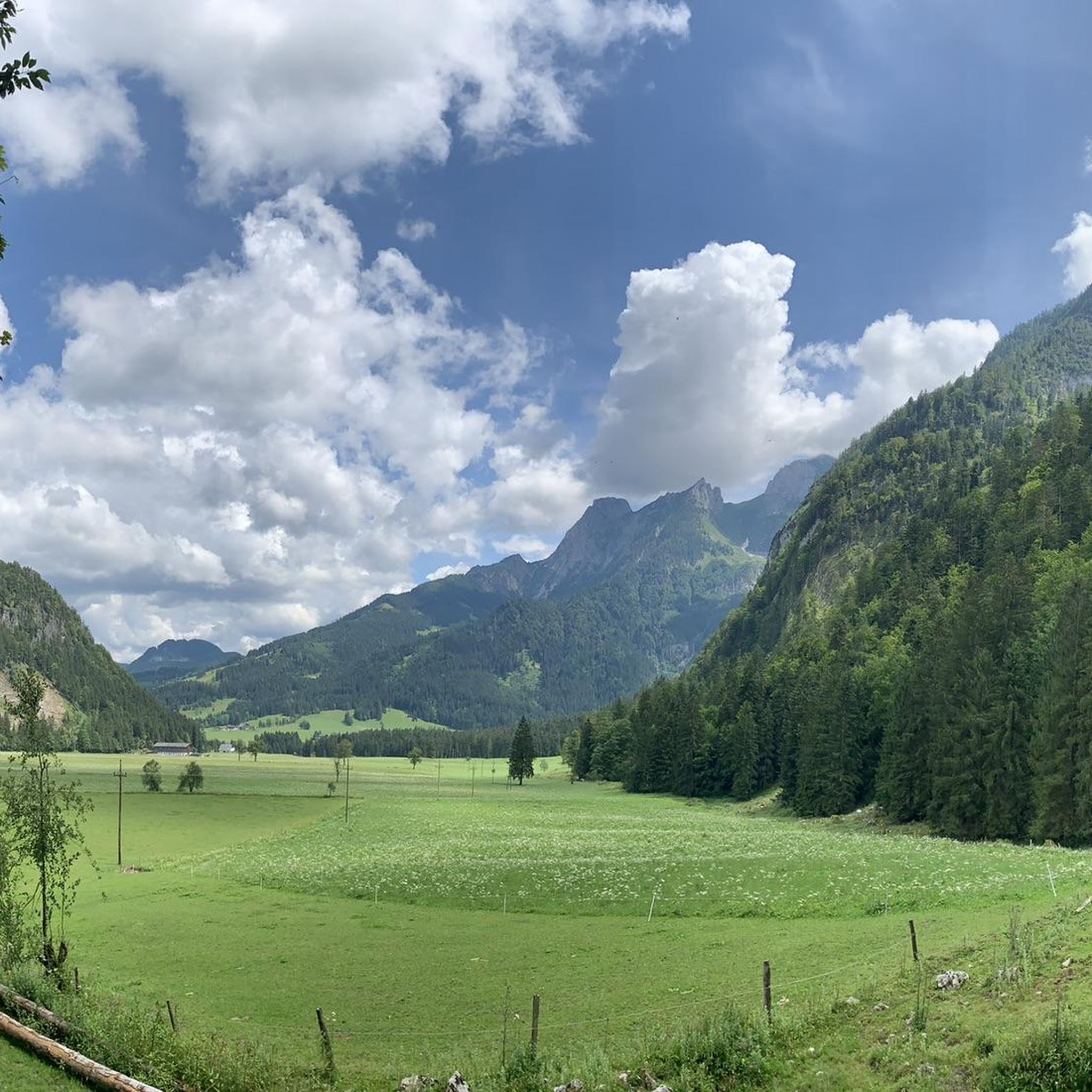
Tips from the Community

If there's no menu on the table, ask - there's plenty of good food! Very friendly crew
0
0

Every year I take my mobility scooter up to the top (the employees are very helpful) and drive down the mountain.
1
0

At the Edelweißscharte you go up to the Hochkarfelderkopf on the one hand, and on the other hand you go over a ridge of grass and pines up to the summit of the Edelweißkogel. From the summit you have a beautiful view of, among other things, the Dachstein massif. From the Laufener Hut, the 330 meters in altitude can be achieved in less than 1.5 hours.
0
0

After 400 meters uphill on the train you are here!
5
0
Everything was great, food was great, service was great
7
1

Tennengebirge: Gsengalm as a great starting point and stop on the descent
0
0
Easily overlooked when descending from the ridge
0
0
Tennengebirge: Take water with you again
0
0
Frequently Asked Questions
How many mountaineering routes are available in Ebnetriedel?
There are nearly 30 mountaineering routes recorded in Ebnetriedel on komoot. These routes primarily cater to experienced mountaineers, offering challenging ascents and high-altitude experiences.
What is the general difficulty level of mountaineering routes in Ebnetriedel?
The mountaineering routes in Ebnetriedel are predominantly challenging. Out of nearly 30 routes, 25 are classified as difficult, and 4 are moderate. There are no easy routes available, indicating the region is best suited for experienced mountaineers.
Are there any moderate mountaineering routes in Ebnetriedel?
Yes, there are a few moderate mountaineering routes in Ebnetriedel. One such route is Gsengalm and Surroundings – Gsengalmhütte loop from Karalm, which covers 7.1 km with an elevation gain of 631 meters. This route offers a less strenuous option compared to the many difficult trails.
What kind of terrain can I expect on mountaineering routes in Ebnetriedel?
Mountaineering in Ebnetriedel involves a mountainous environment with significant elevation gains. You can expect varied mountain terrain, including ascents to alpine huts, paths through mountain pastures, and trails leading to summits.
What do other mountaineers say about the routes in Ebnetriedel?
The routes in Ebnetriedel are highly regarded by the komoot community, with an average rating of 4.8 stars from over 60 reviews. More than 1,200 mountaineers have explored the area, often praising the challenging ascents and the high-altitude experiences.
Are there any circular mountaineering routes in Ebnetriedel?
Yes, several routes in Ebnetriedel are circular. For instance, the popular Scheiblingkogel Summit – Leo Ertl Trail loop from Lammeröfen is a challenging 15.7 km loop. Another option is the Gsengalmhütte – Kleiner Traunstein (1,652 m) loop from Abtenau, which is 11.1 km long.
Is Ebnetriedel suitable for beginner mountaineers or families?
Given that 25 out of nearly 30 routes are classified as difficult and there are no easy routes, Ebnetriedel is primarily suited for experienced mountaineers. Beginners or families seeking gentle trails may find the routes here too challenging.
What is one of the longer and more challenging routes in Ebnetriedel?
One of the longer and more challenging routes is the Water Source at Wandalm – Laufener Hütte loop from Karalm. This difficult path spans 14.3 km and involves significant elevation changes, typically taking over 7 hours to complete.
Are there routes that lead to specific summits in Ebnetriedel?
Yes, some routes in Ebnetriedel lead to summits. For example, the Scheiblingkogel Summit – Leo Ertl Trail loop from Lammeröfen involves a substantial elevation gain to a summit. Another route, Gsengalmhütte – Kleiner Traunstein (1,652 m) loop from Abtenau, leads towards the Kleiner Traunstein peak.
What is the highest elevation gain on a mountaineering route in Ebnetriedel?
The route with the highest elevation gain among those highlighted is the Scheiblingkogel Summit – Leo Ertl Trail loop from Lammeröfen, which features an ascent of over 1,600 meters.
Can I find routes that include alpine huts in Ebnetriedel?
Yes, several mountaineering routes in Ebnetriedel offer access to alpine huts. The Water Source at Wandalm – Laufener Hütte loop from Karalm traverses varied mountain terrain, including ascents to alpine huts. Similarly, the Gsengalmhütte – Kleiner Traunstein (1,652 m) loop from Abtenau passes by the Gsengalmhütte.
Most popular routes in Ebnetriedel

Get inspired with the komoot mobile app


Explore more
Browse the best Mountain Hikes & Routes in other regions.
