The best mountain hikes in Sandlingberg
4.7
(149)
2,221
hikers
58
hikes
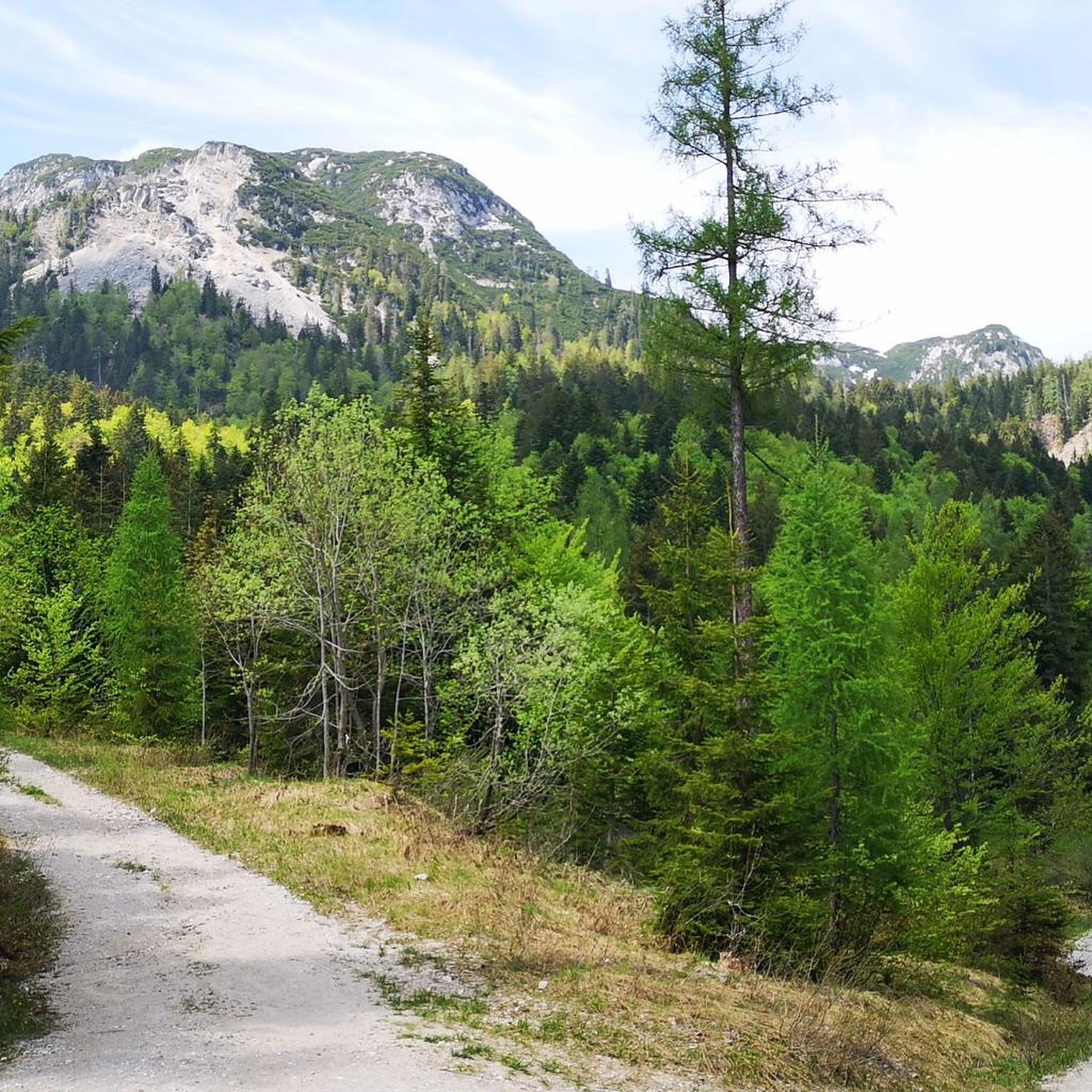
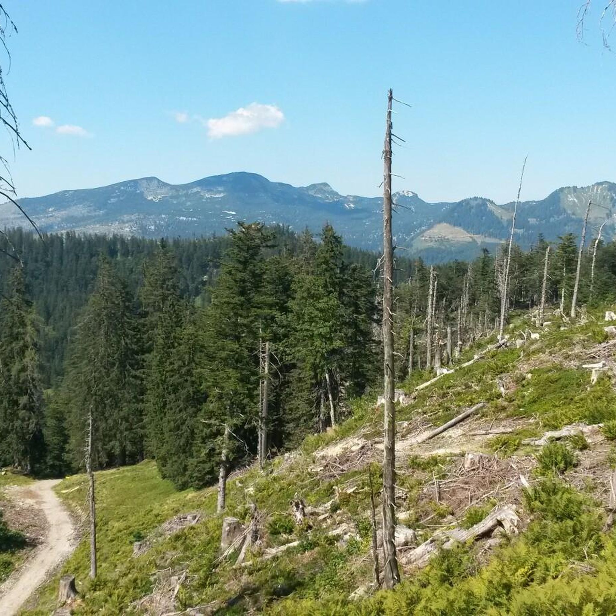
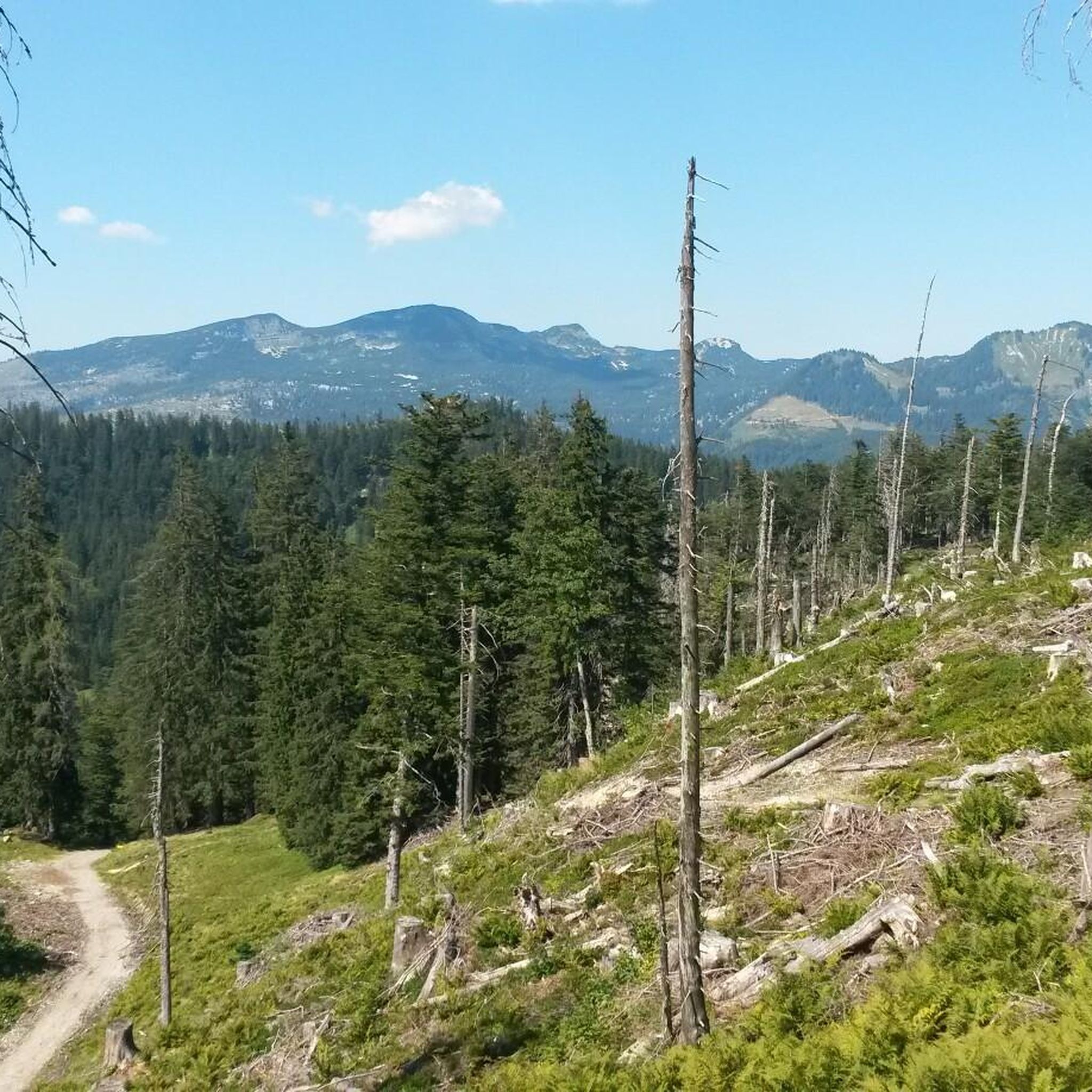
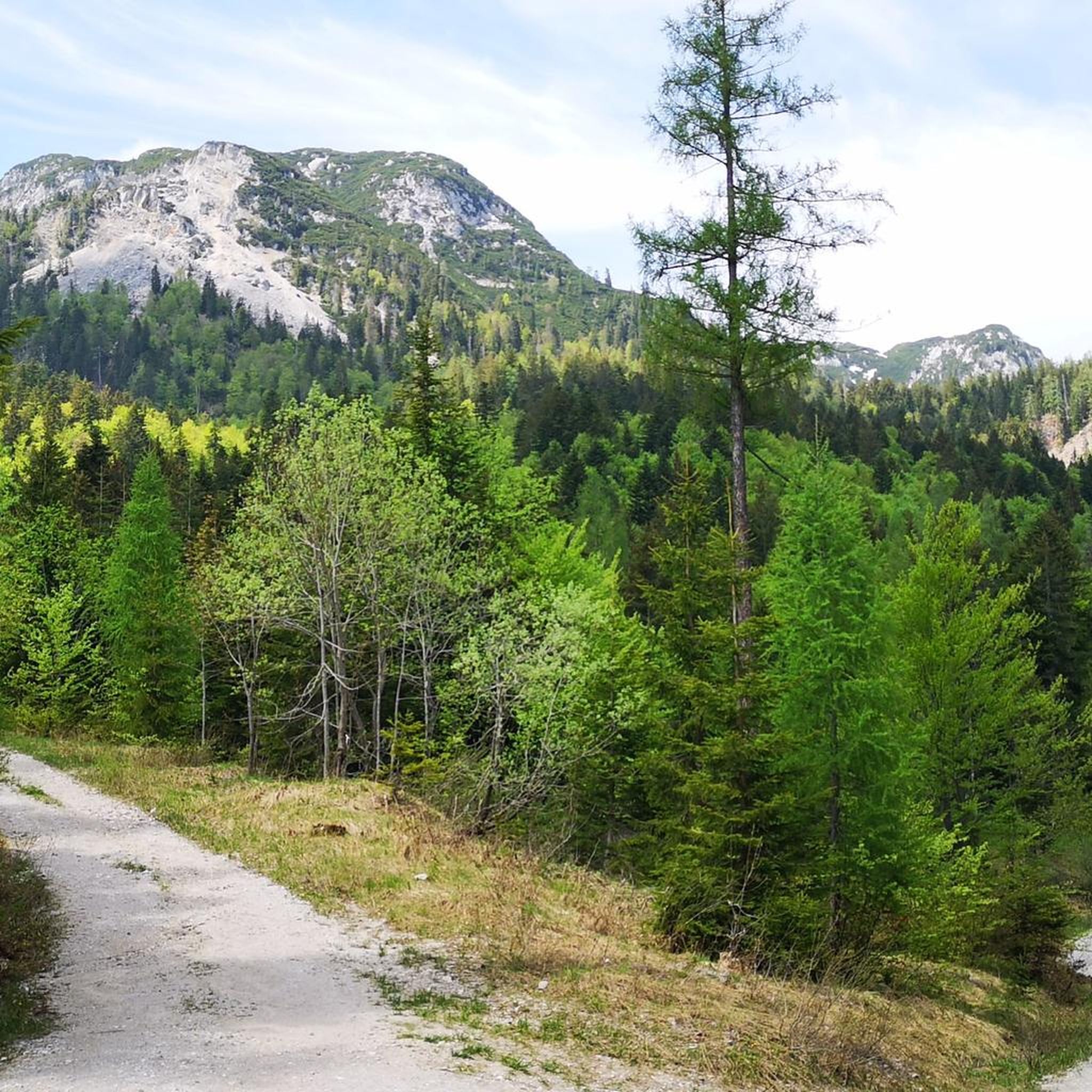
Mountaineering routes in Sandlingberg traverse a diverse alpine landscape, characterized by prominent summits such as Sandling (1,717 m) and Sarstein (1,975 m). The region features varied terrain, including forested slopes, open alpine pastures, and rocky ascents leading to panoramic viewpoints. These routes offer opportunities to explore the natural environment of the Sandlinger Berge.
Best mountaineering routes in Sandlingberg
- The most popular mountaineering route is Lambacher Hut – Sandling Summit (1,717 m) loop from Ruine Pflindsberg, a 7.6 miles (12.3…
Last updated: July 5, 2026
13
hikers
12.1km
05:24
850m
860m
Hard mountaineering route. Very good fitness required. Sure-footedness, sturdy shoes and alpine experience required.
4
hikers
13.7km
05:01
660m
660m
Hard mountaineering route. Very good fitness required. Mostly accessible paths. Sure-footedness required.

Sign up for free
75
hikers
11.0km
04:11
710m
710m
Hard mountaineering route. Good fitness required. Sure-footedness, sturdy shoes and alpine experience required.
4.9
(8)
73
hikers
10.6km
06:01
970m
970m
Hard mountaineering route. Very good fitness required. Sure-footedness, sturdy shoes and alpine experience required.
5.0
(3)
12
hikers
10.8km
04:49
820m
820m
Moderate mountaineering route. Good fitness required. Mostly accessible paths. Sure-footedness required.
Get access to more routes and recommendations from other explorers.
Sign up for free
Already have an account?
Our route recommendations are based on thousands of hikes, rides, and runs completed by other people on komoot.
Start today with a free account
Your next adventure awaits.
Login or Signup
Tips from the Community

the kitchen is the best place to be (at least in winter :))
0
0


Also called "Loser Panorama Via Ferrata" - more of a long traverse with a bit of up and down, always beautiful views and not too difficult.
3
0

Very nice hut with good food and great view
1
0

Self-catering hut - fantastic panoramic view from the Dachstein massif to the Totes Gebirge
0
0

Fantastic view, open for weekends until the end of October
0
0

Very good food (including Loser beer) and friendly service!
0
0

My photos are from October 11, 2014. We climbed at night with headlamps. We were already at the top at 5:20 a.m. - a great experience - we were rewarded with a great sunrise and a wonderful view of the Dachstein. Standing on such a beautiful mountain and feeling the radiant heat of the rising sun after a cold wait was a wonderful experience. In fond memory of my friend Alois.
2
0
Frequently Asked Questions
Are there mountaineering routes suitable for beginners in Sandlingberg?
While many routes in Sandlingberg are rated difficult, there are also moderate options available. For instance, the Sandling Summit (1,717 m) – Sandling Summit loop from Salzwelten Altaussee is a moderate trail that still offers a rewarding alpine experience. It's always recommended to check the specific route details for elevation gain and distance to ensure it matches your fitness level.
What are some of the more challenging mountaineering routes in Sandlingberg?
Sandlingberg offers several demanding routes for experienced mountaineers. The Sarsteinalm – Sarstein Summit (1,975 m) loop from Pötschenpass is a difficult 10.4 km path with significant elevation gain to the Sarstein Summit, providing expansive views. Another challenging option is the Lambacher Hut – Sandling Summit (1,717 m) loop from Ruine Pflindsberg, which covers 12.3 km and features substantial ascents.
Are there any circular mountaineering routes in Sandlingberg?
Yes, many of the mountaineering routes in Sandlingberg are designed as loops, allowing you to start and end at the same point. Examples include the Schwarzenbachloch Cave – Raschberghütte loop from Ruine Pflindsberg and the View of Altaussee – Löserhütte loop from Salzwelten Altaussee, both offering diverse terrain and views.
What is the best time of year for mountaineering in Sandlingberg?
The prime season for mountaineering in Sandlingberg is typically from late spring to early autumn (May to October). During these months, trails are generally free of snow, and weather conditions are more stable, making for safer and more enjoyable ascents. Always check local weather forecasts before heading out.
Are there any huts or places to stop for refreshments along the routes?
Yes, several routes pass by or lead to alpine huts where you can often find refreshments and shelter. For example, the Lambacher Hut – Sandling Summit loop includes the Lambacher Hut, and the Schwarzenbachloch Cave – Raschberghütte loop passes the Raschberghütte. These huts provide excellent opportunities for a break and to enjoy local hospitality.
What kind of wildlife might I encounter on the Sandlingberg trails?
The Sandlinger Berge region is home to diverse alpine wildlife. You might spot chamois and ibex on higher rocky slopes, while marmots are often seen and heard in alpine meadows. Birdwatchers may also encounter various raptors. Remember to observe wildlife from a distance and avoid disturbing their natural habitat.
What do other mountaineers enjoy most about Sandlingberg?
The komoot community highly rates the mountaineering experience in Sandlingberg, with an average score of 4.6 stars from over 140 reviews. Users frequently praise the diverse alpine landscape, the challenging yet rewarding ascents to prominent summits like Sandling and Sarstein, and the expansive panoramic views from the peaks.
Are there any family-friendly mountaineering options in Sandlingberg?
While many mountaineering routes are challenging, some sections or shorter trails might be suitable for families with older, experienced children. It's crucial to assess the difficulty, distance, and elevation gain of each route carefully. The region also offers numerous easier hiking trails that are more appropriate for younger families.
What are the parking options for trailheads in Sandlingberg?
Many popular trailheads in Sandlingberg, such as those near Ruine Pflindsberg, Salzwelten Altaussee, and Pötschenpass, offer designated parking areas. Availability and fees can vary, so it's advisable to check local signage or online resources for specific parking information before your trip, especially during peak season.
Can I reach Sandlingberg trailheads using public transport?
Public transport options to the Sandlingberg region are available, primarily by bus services connecting to towns like Altaussee or Bad Aussee. From these towns, some trailheads might be accessible via local bus routes or require a short taxi ride. Planning your journey in advance using regional transport schedules is recommended.
Are there any permits required for mountaineering in Sandlingberg?
Generally, no specific permits are required for day mountaineering on marked trails in the Sandlingberg region. However, if you plan to engage in activities like overnight camping outside designated areas or specific climbing routes, it's always best to check with local authorities or park management for any regulations or restrictions.
What are some notable landmarks or points of interest near the mountaineering routes?
The Sandlingberg area is rich in natural beauty and historical sites. Starting points for some routes, like Ruine Pflindsberg, offer historical interest. The Salzwelten Altaussee (salt mines) is another significant attraction nearby, providing cultural insights into the region's heritage.
Most popular routes in Sandlingberg

Get inspired with the komoot mobile app


Explore more
Browse the best Mountain Hikes & Routes in other regions.
