The best running trails in Krunglwald
4.6
(77)
1,942
runners
131
runs
Jogging routes in Krunglwald traverse a varied landscape, characterized by extensive forests, rolling hills, and alpine meadows. The region offers diverse terrain suitable for different running preferences, from gentle paths to more challenging ascents. Elevation changes are common, providing opportunities for both endurance training and scenic runs through natural surroundings.
Best jogging routes in Krunglwald
- The most popular jogging route is Bad Mitterndorf Town Center loop from Hoisbauer, a 5.8 miles (9.4 km) trail that takes 59 minutes to…
Last updated: July 5, 2026
7
runners
9.38km
01:00
100m
100m
Moderate run. Good fitness required. Mostly paved surfaces. Suitable for all skill levels.
4
runners
11.4km
01:38
400m
400m
Hard run. Very good fitness required. Sure-footedness, sturdy shoes and alpine experience required.

Sign up for free
3
runners
6.30km
00:41
90m
90m
Moderate run. Good fitness required. Mostly paved surfaces. Suitable for all skill levels.
4.5
(2)
11
runners
10.4km
01:08
180m
180m
Moderate run. Good fitness required. Mostly paved surfaces. Suitable for all skill levels.
5.0
(2)
6
runners
Hard run. Very good fitness required. Sure-footedness, sturdy shoes and alpine experience required.
Get access to more routes and recommendations from other explorers.
Sign up for free
Already have an account?
Our route recommendations are based on thousands of hikes, rides, and runs completed by other people on komoot.
Start today with a free account
Your next adventure awaits.
Login or Signup
Tips from the Community


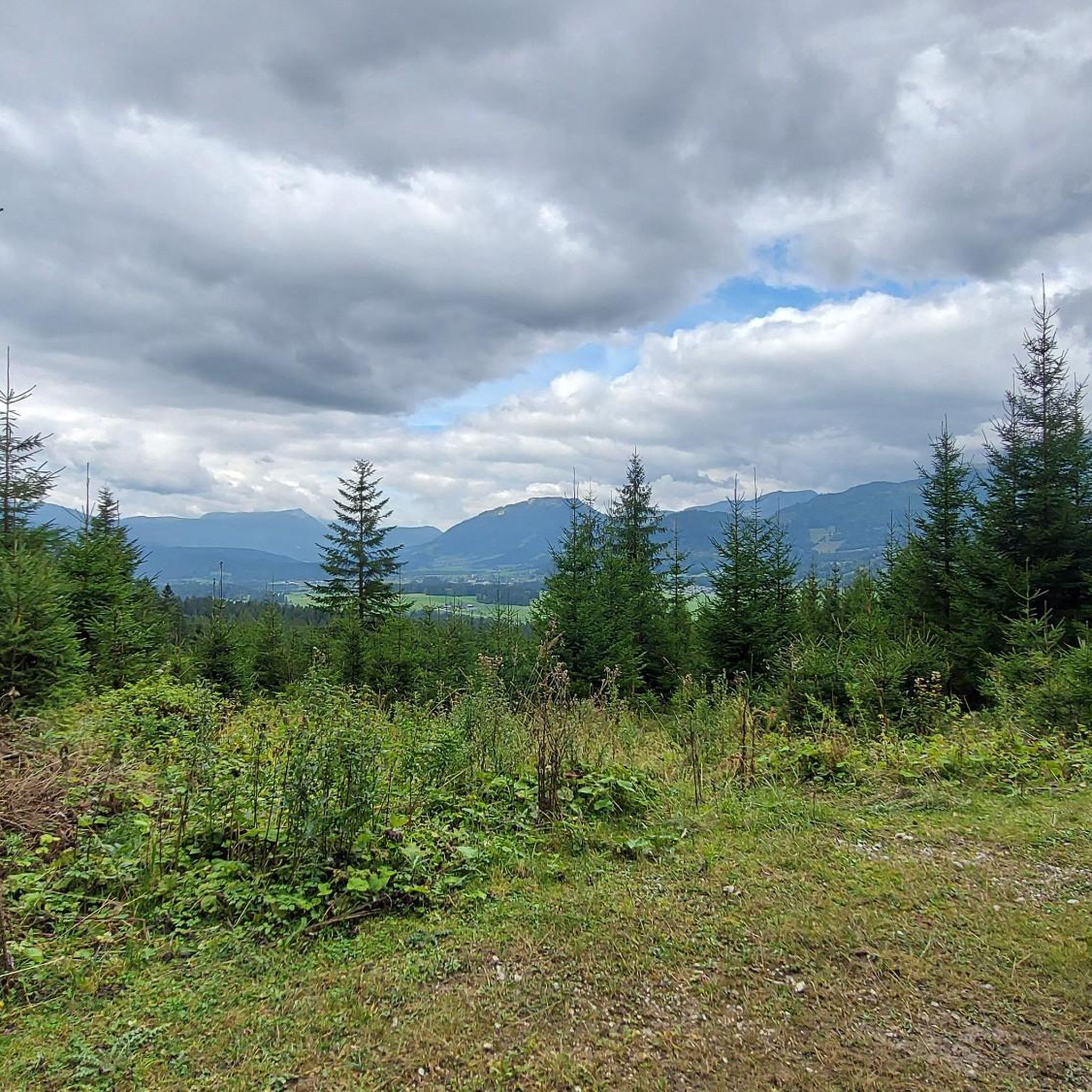
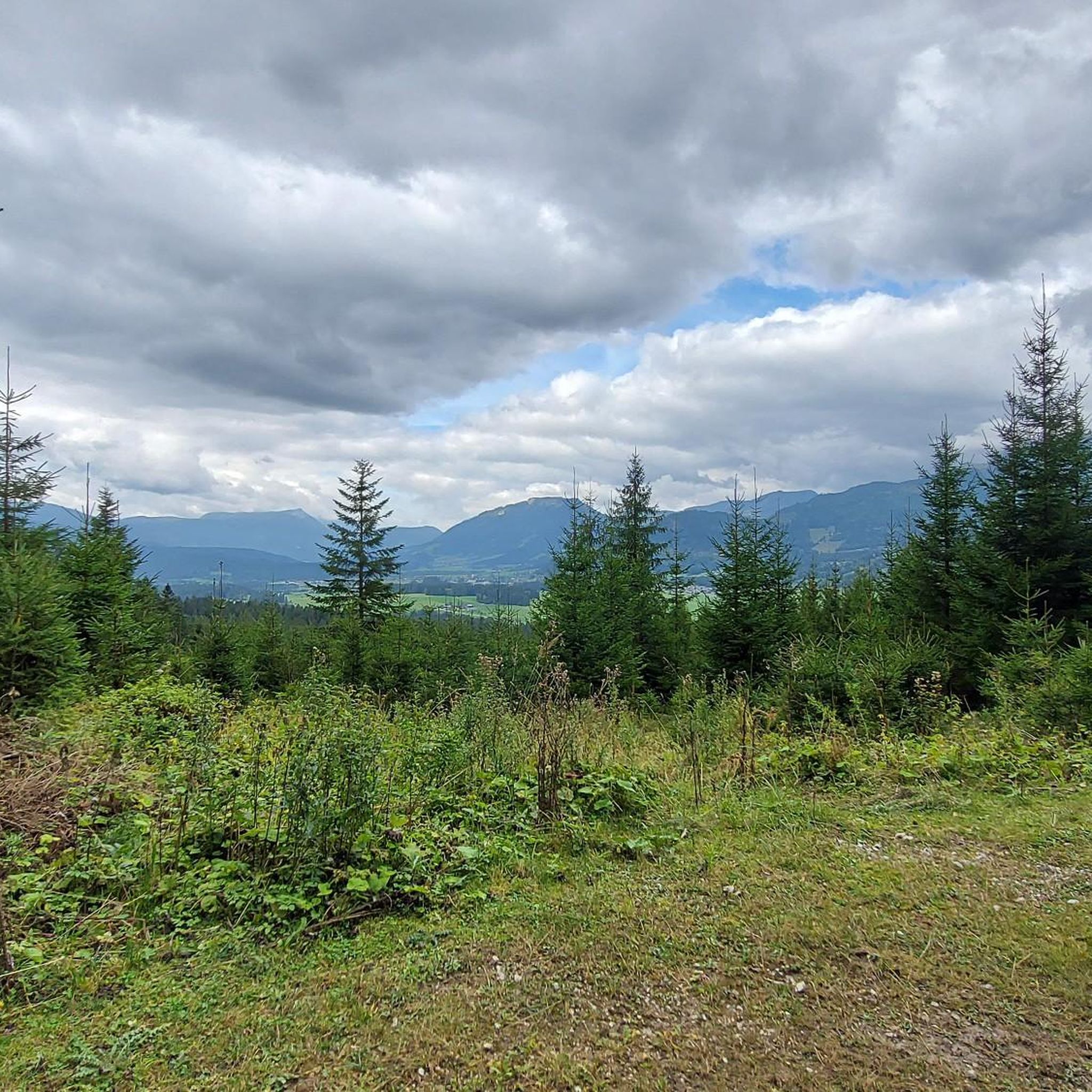
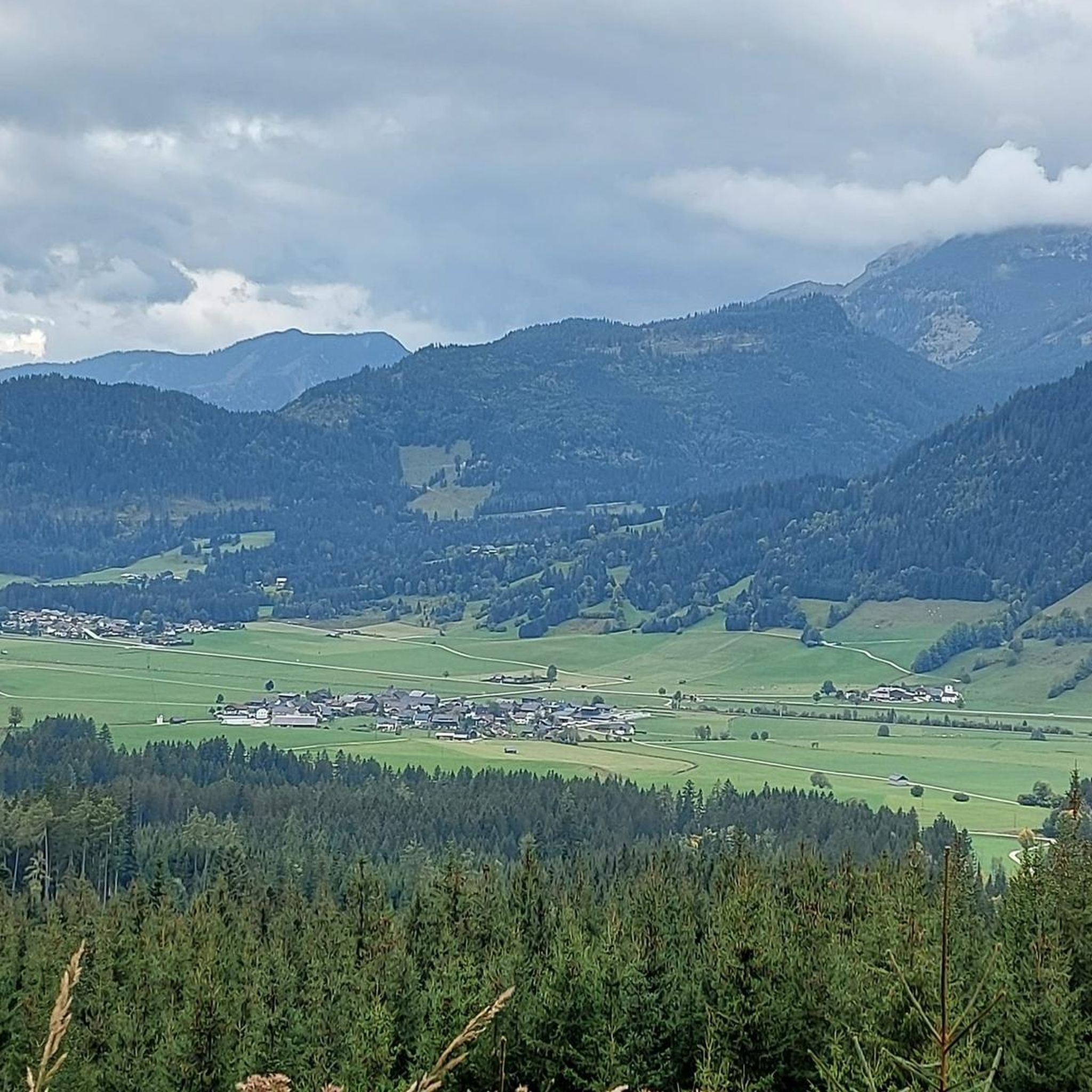
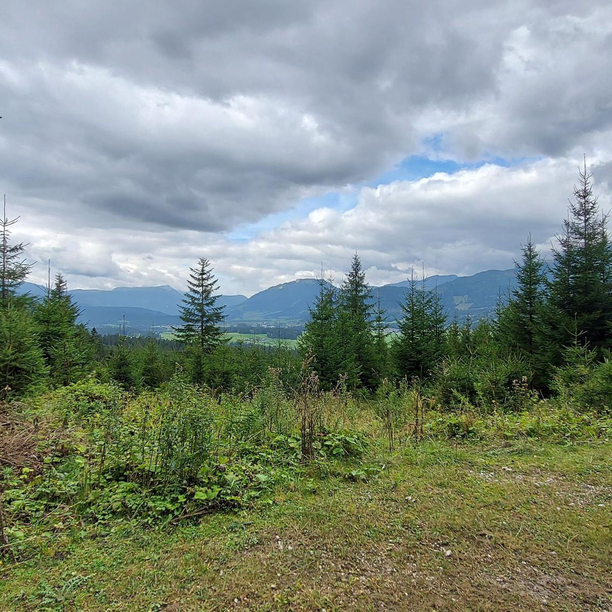
Beautiful path through the forest. There are always good views of the valley.
1
0

Bad Mitterndorf is a picturesque town in Styria, known for its breathtaking mountain scenery and diverse leisure opportunities. The region is particularly popular for its wellness offers and as a starting point for numerous hikes and ski tours.
2
0

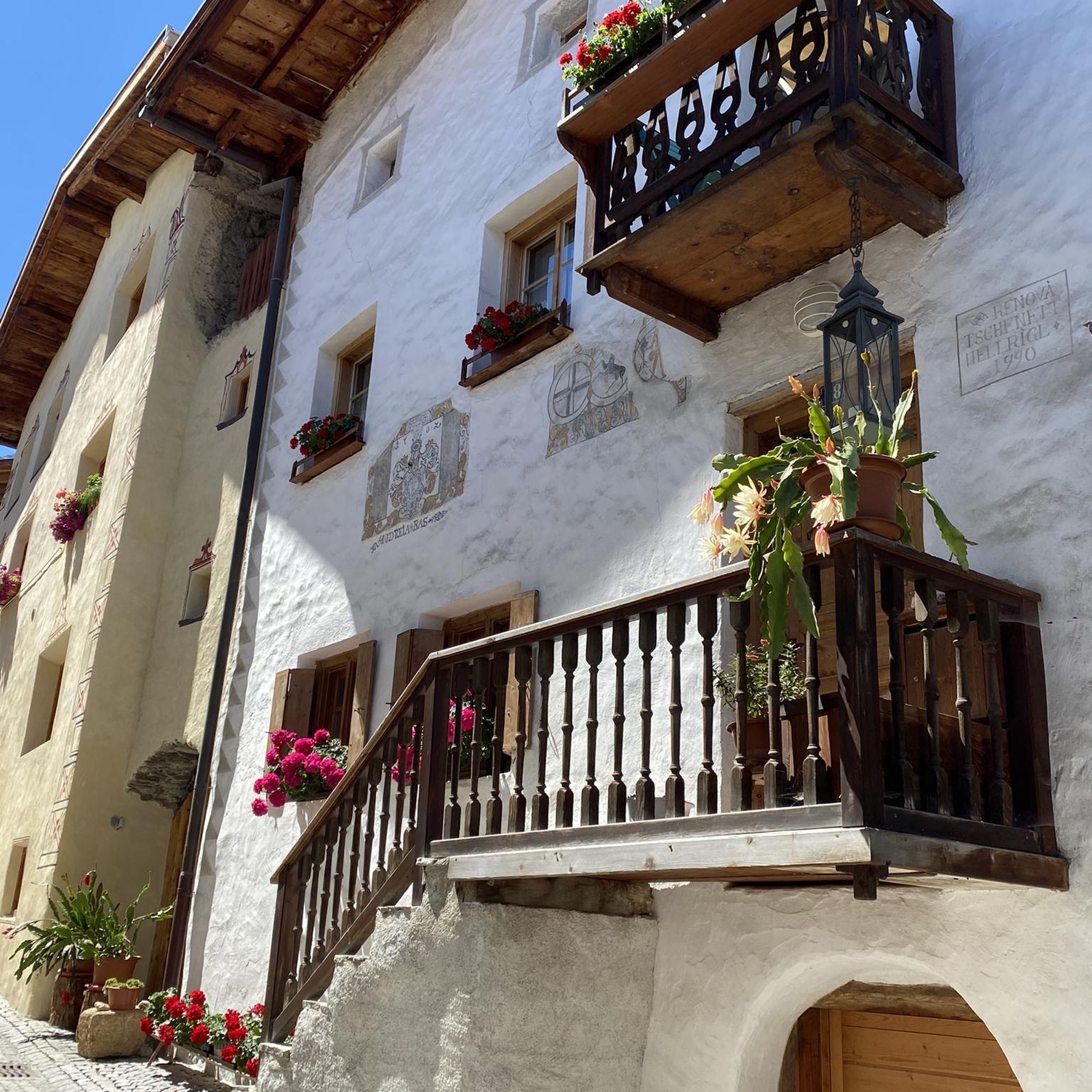
Dreamy place with beautiful houses
0
0

The circular route to the Simonywarte is a good tour if the conditions for the higher areas (snow conditions, weather, personal fitness) are unfavourable. Sturdy shoes and poles are recommended.
2
0

Nice village with a small outdoor pool and Conchita Wurst's house
0
0

Very nice village and good starting point for many tours.
0
0
Frequently Asked Questions
How many running routes are available in Krunglwald?
Krunglwald offers a wide selection of running routes, with over 130 trails documented on komoot. This extensive network provides diverse options for runners of all levels.
What kind of terrain can I expect on the jogging routes in Krunglwald?
The jogging routes in Krunglwald traverse a varied landscape, featuring extensive forests, rolling hills, and alpine meadows. You'll find diverse terrain suitable for different running preferences, from gentle paths to more challenging ascents with significant elevation changes. This region, reminiscent of the broader Karwendel Nature Park, is known for its dramatic rocky mountain faces and vast woodlands.
Are there routes suitable for beginners or those looking for an easy run?
Yes, Krunglwald has options for all abilities. There are 11 easy running routes available, perfect for beginners or those seeking a more relaxed pace. Many of these will lead you through forested areas and gentle paths.
What about more challenging running trails in Krunglwald?
For experienced runners seeking a challenge, Krunglwald offers 29 difficult routes. Trails like the Simonywarte loop from Hoisbauer, which is 7.1 miles (11.4 km) with significant elevation gain, provide a strenuous workout with rewarding views.
What do other runners say about the trails in Krunglwald?
The running routes in Krunglwald are highly rated by the komoot community, with an average score of 4.6 stars from over 60 reviews. Runners often praise the varied terrain, the beautiful natural surroundings, and the well-maintained paths that cater to different fitness levels.
Are there any loop running trails in Krunglwald?
Yes, many of the running routes in Krunglwald are designed as loops, offering convenient starting and ending points. Popular examples include the Bad Mitterndorf Town Center loop from Hoisbauer and the Eckwald loop from Hoisbauer, which takes you through forested areas.
What are the best times of year for jogging in Krunglwald?
The Karwendel region, which Krunglwald is part of, offers seasonal beauty throughout the year. Spring and summer bring alpine meadows in full bloom, while autumn showcases spectacular colors, making these seasons particularly vibrant for outdoor activities. Winter conditions can vary, so checking local weather and trail conditions is always advisable.
Are there any scenic viewpoints or natural features to look out for while running?
While specific highlights are not detailed in the route data, the Krunglwald region, like the broader Karwendel Nature Park, is characterized by stunning natural features. You can expect to encounter extensive forests, rolling hills, and potentially views of dramatic rocky mountain flanks and alpine meadows. The region is known for its rich biodiversity, so keep an eye out for local flora and fauna.
How long are the running trails typically in Krunglwald?
The running trails in Krunglwald vary significantly in length. For example, the Eckwald loop from Hoisbauer is 3.9 miles (6.3 km), while the Simonywarte loop from Hoisbauer extends to 7.1 miles (11.4 km). You'll find options ranging from shorter, quicker runs to longer, more enduring routes.
Is public transport available to access the running trails in Krunglwald?
While specific public transport details for Krunglwald are not provided, regions like Alpenwelt Karwendel (encompassing Mittenwald, Krün, and Wallgau) are known for offering good access to trails. It's advisable to check local transport schedules for the specific starting points of your chosen routes.
Where can I park my car when visiting the running routes?
Many routes in Krunglwald, such as those starting from Hoisbauer or Skiflugschanze Kulm, likely have designated parking areas nearby. It's recommended to check the specific route details on komoot for information on parking facilities at or near the trailhead.
Can I bring my dog on the running trails in Krunglwald?
Generally, many outdoor trails in natural parks and forested areas are dog-friendly, especially if dogs are kept on a leash. However, specific regulations can vary. It's always best to check local signage or specific route information on komoot to confirm if a particular trail has restrictions for dogs.
Are there family-friendly jogging routes in Krunglwald?
Given the variety of terrain and difficulty levels, Krunglwald likely offers several family-friendly jogging routes. Look for the 11 easy-rated trails, which are typically shorter and have less elevation gain, making them suitable for families with children or those looking for a leisurely run together.
Most popular routes in Krunglwald

Get inspired with the komoot mobile app


Explore more
Browse the best Running Trails & Routes in other regions.
