The best road cycling routes in Schlagerwald
4.7
(51)
1,416
riders
34
rides
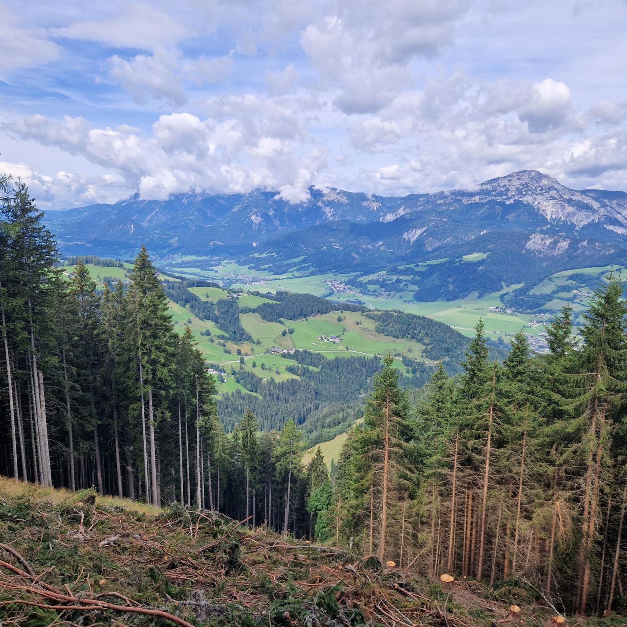
Road cycling routes in Schlagerwald traverse a landscape characterized by extensive forests and varied terrain. Located near Liezen, the region offers a mix of ascents and descents suitable for road cyclists. The routes often wind through wooded areas and open sections, providing diverse riding experiences.
Best road cycling routes in Schlagerwald
- The most popular road cycling route is Ramsau am Dachstein – Forstau descent loop from Gröbming, a 63.9 miles (102.9 km) trail that takes 5 hours 15 minutes…
Last updated: September 29, 2026
5.0
(9)
260
riders
104km
05:17
1,710m
1,710m
Hard road ride. Very good fitness required. Mostly well-paved surfaces and easy to ride.
5.0
(2)
83
riders
70.2km
03:10
610m
610m
Moderate road ride. Good fitness required. Mostly well-paved surfaces and easy to ride.

4.7
(3)
50
riders
42.8km
02:08
670m
670m
Moderate road ride. Good fitness required. Mostly well-paved surfaces and easy to ride.
5.0
(1)
42
riders
40.9km
02:10
740m
740m
Moderate road ride. Good fitness required. Mostly well-paved surfaces and easy to ride.
5.0
(1)
33
riders
47.5km
03:01
1,310m
1,310m
Hard road ride. Very good fitness required. Mostly well-paved surfaces and easy to ride.
Get access to more routes and recommendations from other explorers.
Already have an account?
Our route recommendations are based on thousands of hikes, rides, and runs completed by other people on komoot.
Start today with a free account
Your next adventure awaits.
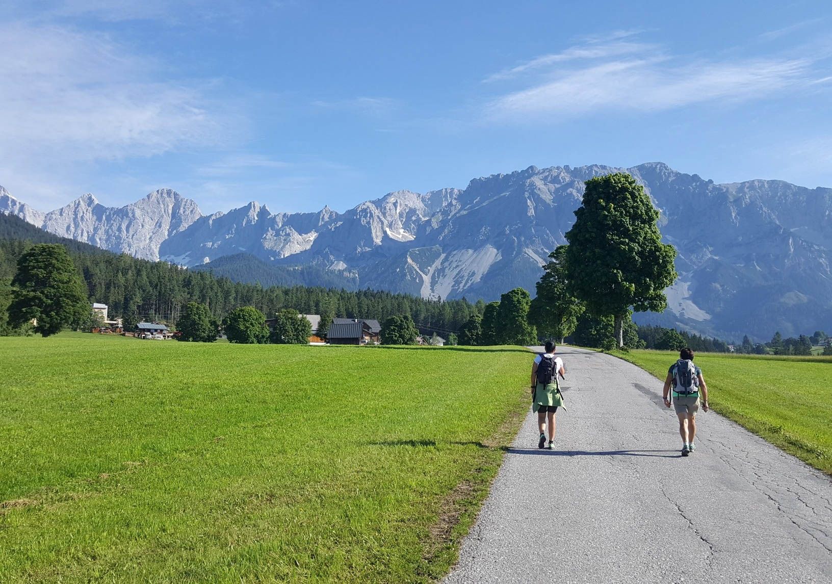
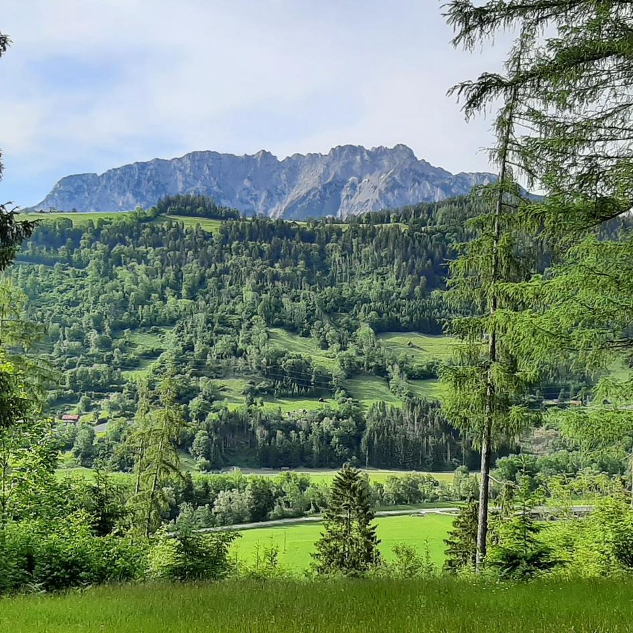
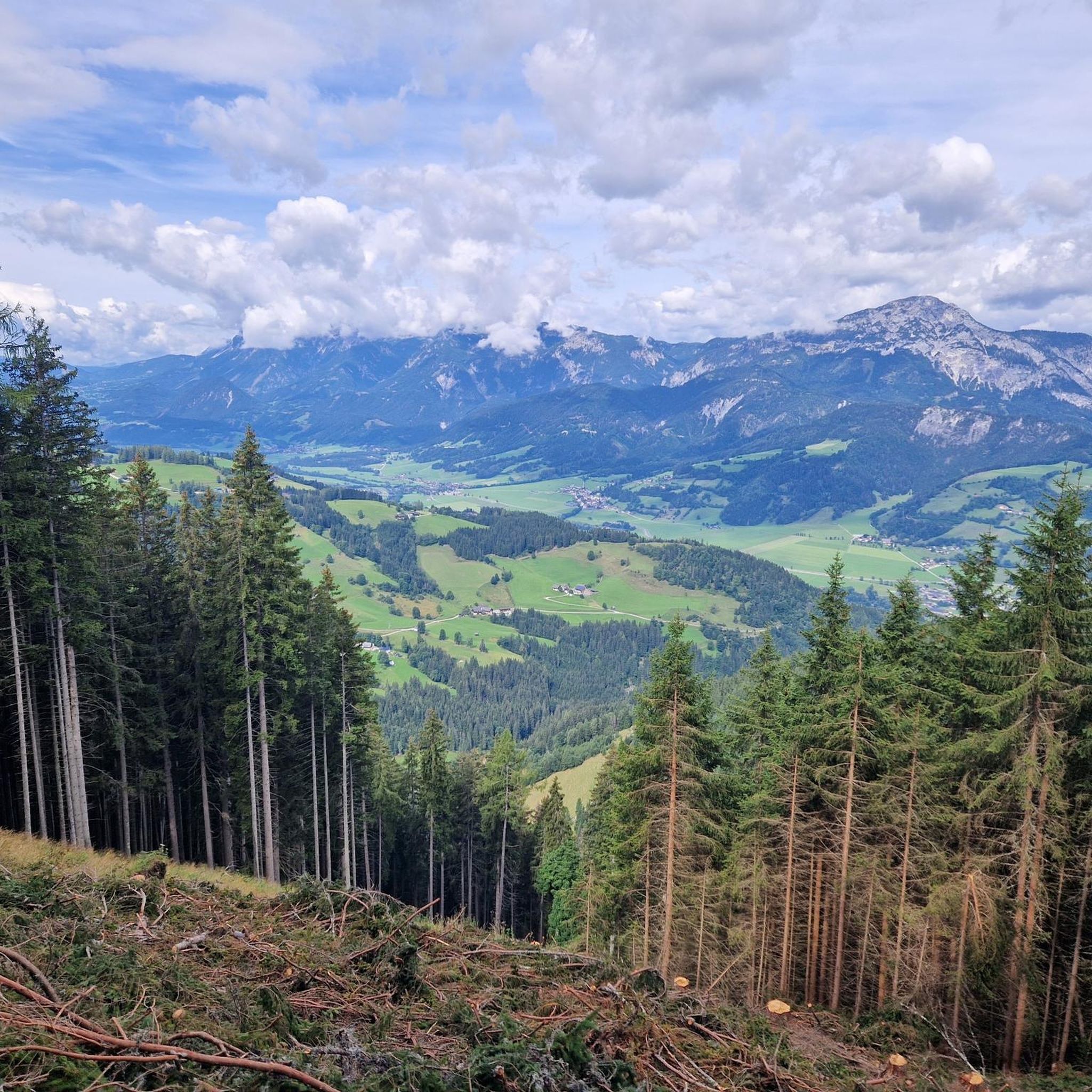
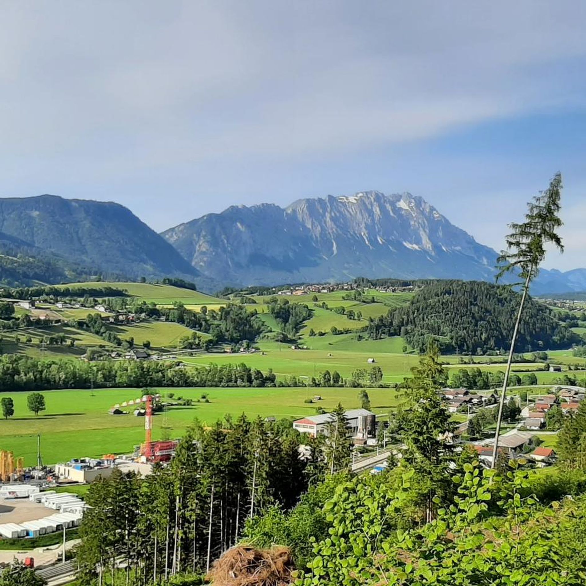

Other adventures in Schlagerwald

Tips from the Community

Option to charge the e-bike while enjoying a cool drink or delicious ice cream. Bosch chargers available, you should bring your own for other brands.
0
0

Very interesting for fans of the series Bergretter.
1
0

Bergrettung Ramsau (Filming location - Die Bergretter)
0
1


Stoderzinken with a visit to the Kicherl is a must in Gröbming
0
0

The Rossfeld parking area on the Stoderzinken mountain is a great starting point for your hikes, located directly on the toll road, the Stoderzinken Panorama Road. If you're coming from Gröbming, it's only about a 13-kilometer drive. The parking area is right next to the popular Rosemi Alm mountain hut, a perfect spot for a break. From here, you can immediately set off on the trail to the Stoderzinken summit, where a magnificent view awaits you! The Friedenskircherl (Peace Chapel) is also nearby and invites you to a moment of quiet reflection. The surrounding area is quite picturesque and full of beautiful hiking trails, ideal for all ages. Don't forget to pack plenty of provisions, as nature has a lot to offer! So, lace up your hiking boots and discover the stunning mountain scenery around the Stoderzinken!
10
1


Impressive building of the valley station.
1
0
Frequently Asked Questions
How many road cycling routes are available in Schlagerwald?
Schlagerwald offers a diverse network of nearly 40 road cycling routes. These routes cater to various skill levels, ranging from easy scenic rides to challenging climbs through the region's varied terrain.
What is the best season for road cycling in Schlagerwald?
The best season for road cycling in Schlagerwald is typically from late spring to early autumn. During these months, the weather is generally mild, and the forested landscapes are at their most vibrant. It's always a good idea to check local weather forecasts before heading out, especially for routes at higher elevations.
Are there road cycling routes suitable for beginners in Schlagerwald?
Yes, Schlagerwald has several road cycling routes that are suitable for beginners. There are 5 easy routes available, offering gentler gradients and shorter distances, perfect for those new to road cycling or looking for a relaxed ride. These routes often wind through picturesque valleys and less demanding sections of the forest.
What kind of challenges can I expect on road cycling routes in Schlagerwald?
Schlagerwald's road cycling routes are known for their varied terrain, which includes both ascents and descents. You can expect challenging climbs, particularly on the 11 difficult routes available, which often feature significant elevation gains. For example, the Ramsau am Dachstein – Forstau descent loop from Gröbming is a difficult route with over 1,700 meters of elevation gain, providing a demanding experience for seasoned cyclists.
Are there loop road cycling routes in Schlagerwald?
Yes, many of the road cycling routes in Schlagerwald are designed as loops, allowing you to start and finish at the same point. Examples include the popular View of Kulmkogel – Gröbming loop from Gröbming and the Ramsau am Dachstein – View of Dachstein loop from Gröbming. These loops offer convenient ways to explore the region's diverse landscapes.
What scenic viewpoints can I find along the road cycling routes in Schlagerwald?
Schlagerwald offers several stunning viewpoints along its routes. You can enjoy panoramic vistas from places like Kochofen Summit or take in the expansive View of the Enns Valley. These spots provide perfect opportunities for a break and to appreciate the natural beauty of the region.
Are there any interesting landmarks or places to explore near the road cycling routes?
Beyond the natural scenery, Schlagerwald's routes can lead you near charming local spots. You might pass by traditional huts like Michaelerberghaus or Stiegler Alm, which often offer refreshments and a glimpse into local culture. The region's small towns also provide historic centers and traditional ambiance.
What do other road cyclists enjoy most about road cycling in Schlagerwald?
The road cycling experience in Schlagerwald is highly rated by the komoot community, with an average score of 4.7 stars from nearly 70 reviews. Cyclists frequently praise the region's extensive forests, varied elevation changes, and the rewarding scenic views. The mix of ascents and descents through wooded and open sections provides a diverse and engaging ride for many.
Are there cafes or places to stop for refreshments along the routes?
Yes, many road cycling routes in Schlagerwald pass through or near charming small towns and villages where you can find cafes, restaurants, and local eateries. Additionally, some routes may lead past traditional mountain huts or alms, such as Michaelerberghaus or Stiegler Alm, which often offer refreshments and local specialties.
Is parking available near the road cycling trails in Schlagerwald?
Parking is generally available in the towns and villages that serve as starting points for road cycling routes in Schlagerwald, such as Gröbming. Look for designated parking areas, often near public facilities or trailheads. It's advisable to check local signage for any parking restrictions or fees.
Are there family-friendly road bike routes in Schlagerwald?
While Schlagerwald is known for its varied terrain, there are family-friendly options among the easier routes. These routes typically feature less challenging gradients and are shorter in length, making them suitable for families with children or those preferring a more leisurely pace. Always check the route's difficulty and elevation profile to ensure it matches your family's capabilities.
What are the typical lengths of road cycling routes in Schlagerwald?
The road cycling routes in Schlagerwald vary significantly in length. You can find shorter routes, such as the Ramsau am Dachstein – View of Dachstein loop from Gröbming at about 43 km (26.7 miles), which can be completed in around 2 hours. Longer, more challenging routes, like the Ramsau am Dachstein – Forstau descent loop from Gröbming, can extend over 100 km (63.9 miles) and take more than 5 hours to complete.
Most popular routes in Schlagerwald
Most popular attractions in Schlagerwald

Get inspired with the komoot mobile app


Explore more
Browse the best Road cycling routes in other regions.
