The best walks and hikes in Turiawald
4.5
(5189)
25,640
hikers
688
hikes
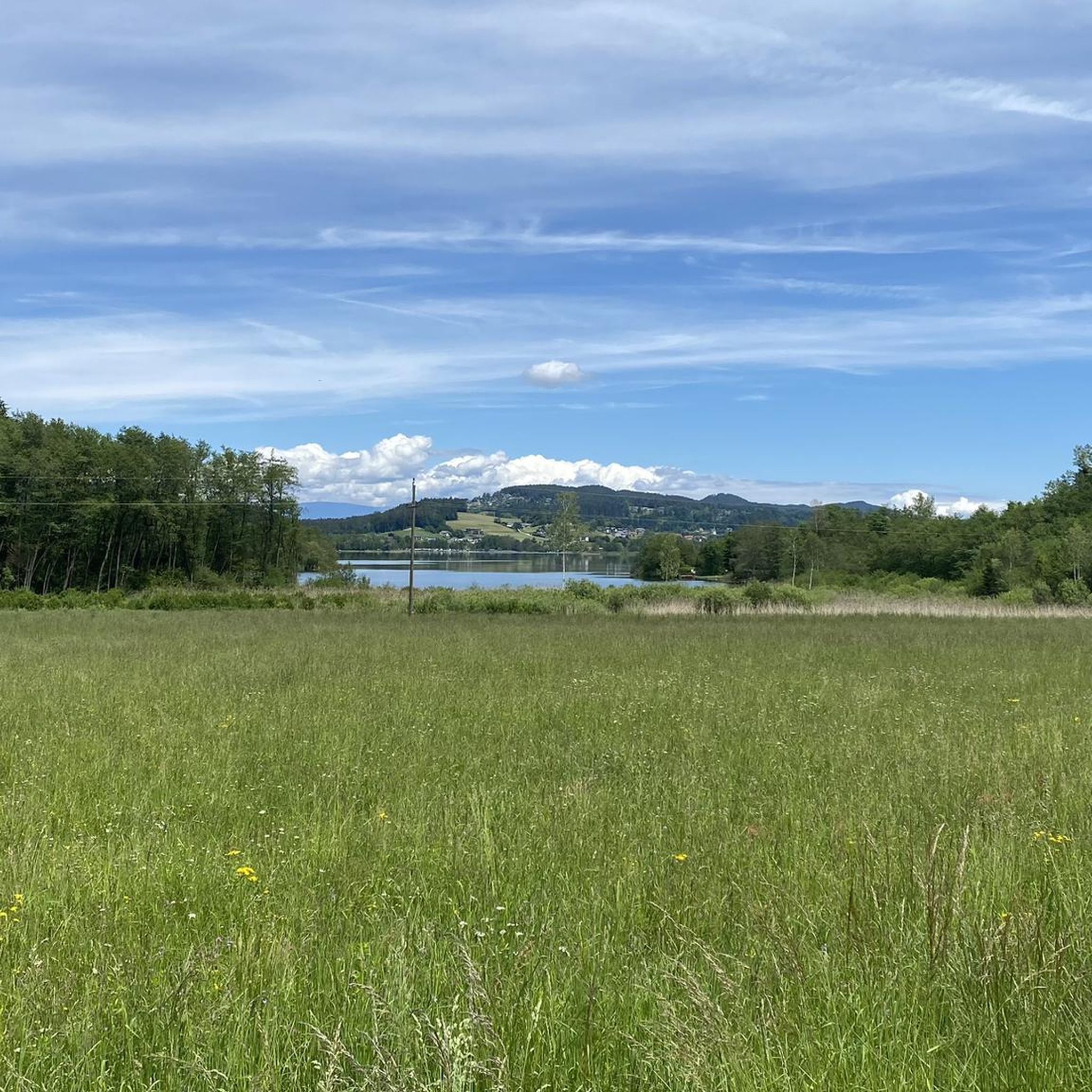
Hiking in Turiawald offers diverse landscapes within the Bezirk Klagenfurt-Land, Austria. The region is characterized by the dense Turiawald forest, featuring unique geological formations like massive conglomerates and calc-tufa. Water features such as the Turiawald Waterfall and lakes like Hafnersee, Penkensee, and Keutschacher See are prominent natural attractions. Some trails also provide views of the distant Karawanken Mountains.
Best hiking trails in Turiawald
- The most popular hiking route is Turiawald Waterfall – Hafnersee loop from Hafnersee, a 5.6 miles…
Last updated: September 28, 2026
4.3
(40)
115
hikers
8.80km
02:32
220m
220m
Moderate hike. Good fitness required. Easily-accessible paths. Suitable for all skill levels.
4.6
(21)
65
hikers
Easy hike. Great for any fitness level. Easily-accessible paths. Suitable for all skill levels.

4.4
(11)
67
hikers
Easy hike. Great for any fitness level. Easily-accessible paths. Suitable for all skill levels.
4.8
(6)
25
hikers
4.27km
01:15
120m
120m
Easy hike. Great for any fitness level. Easily-accessible paths. Suitable for all skill levels.
5.0
(7)
19
hikers
6.05km
01:47
170m
170m
Easy hike. Great for any fitness level. Easily-accessible paths. Suitable for all skill levels.
Get access to more routes and recommendations from other explorers.
Already have an account?
Our route recommendations are based on thousands of hikes, rides, and runs completed by other people on komoot.
Start today with a free account
Your next adventure awaits.
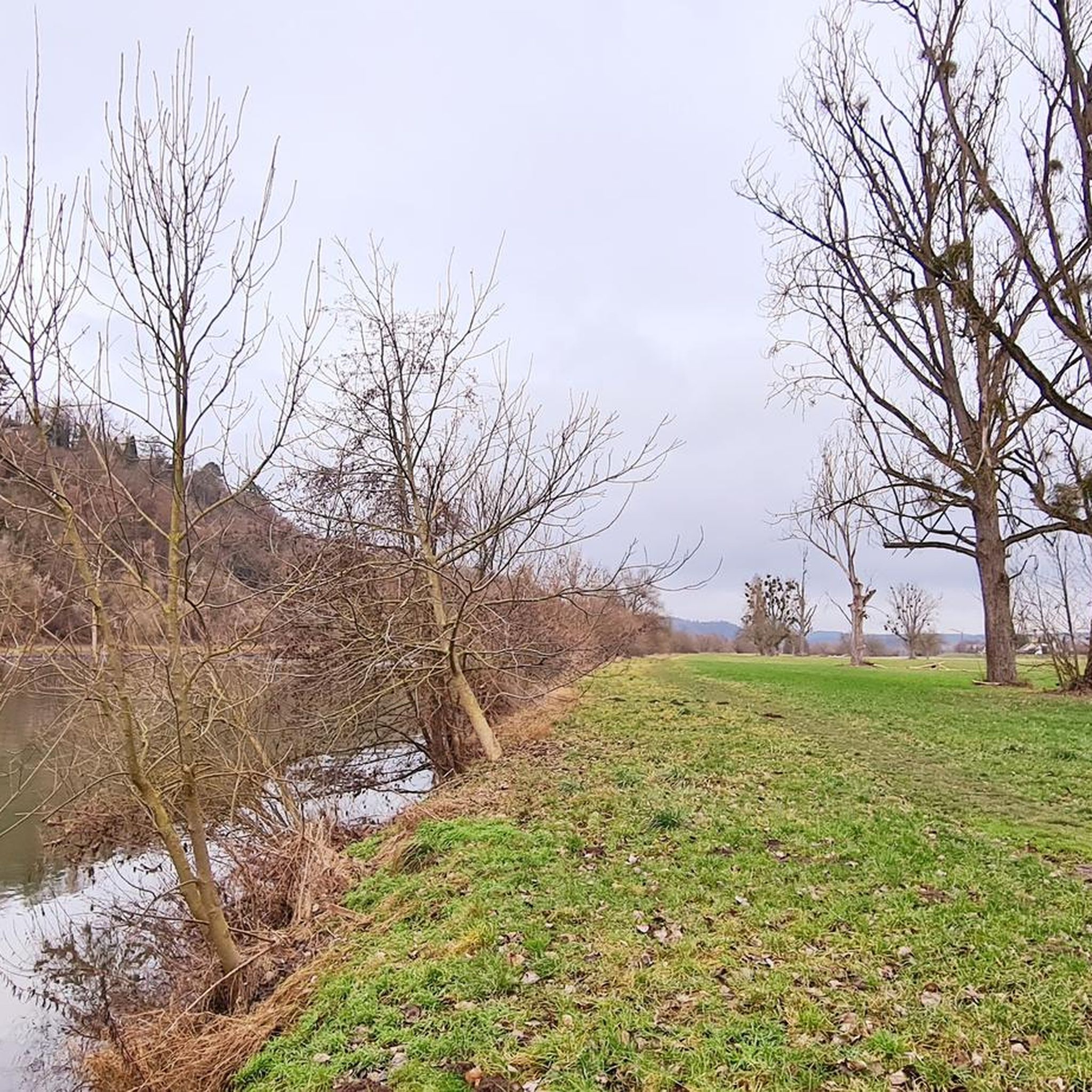
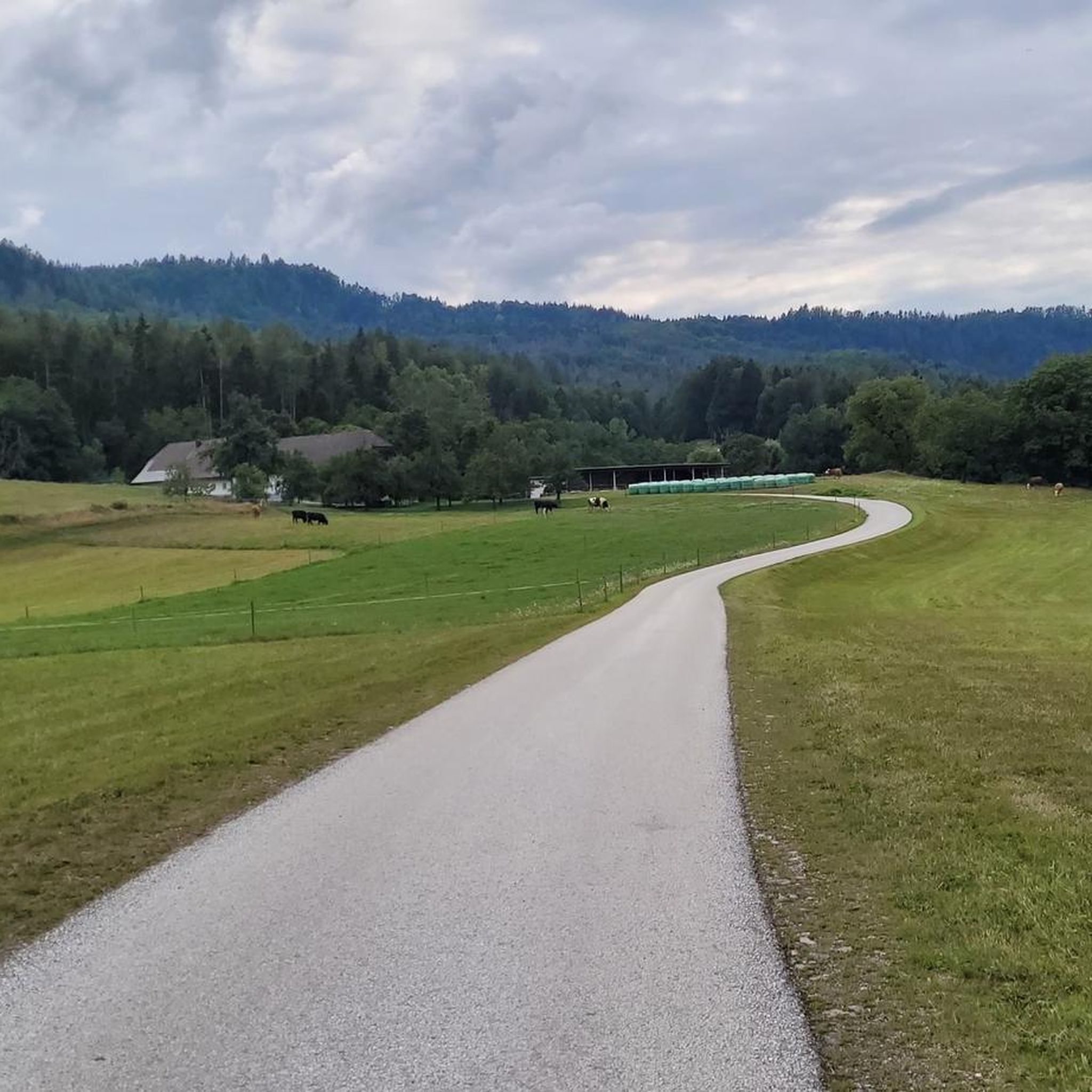
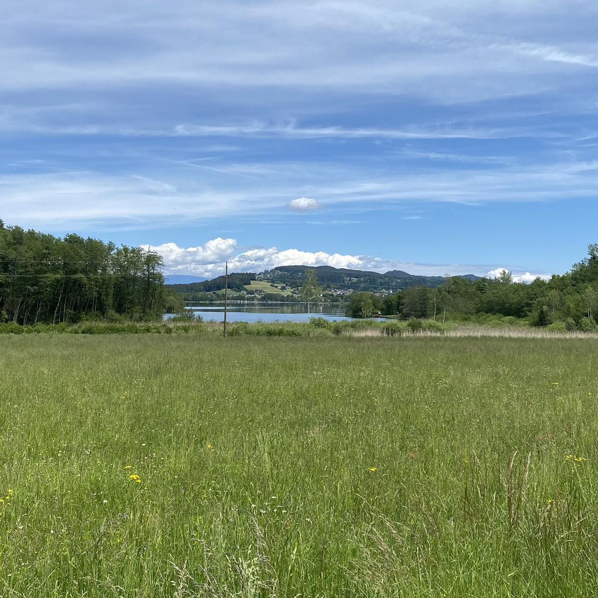
Tips from the Community

In the footsteps of the Ironman
0
0

Near the shores of the Hafnersee, cycling is possible in the southern area via a pleasant gravel path. For the most part, the route leads through a shady forest path, a small section leads over a small hill between moorland and cultivated fields. Along the route, some natural bathing spots invite you to dive into the lake.
0
0
Along the Keutschacher See, in the southern area, you can cycle on a shady forest path that is only a bit "tricky" in one spot. Along the route, some natural bathing spots invite you to dive into the lake.
0
0
Along the Keutschacher See, in the southern area, you can cycle along a shady forest path that is only a little "tricky" in one spot. Along the route, some natural bathing spots invite you to dive into the lake.
0
0
Along the Keutschach Lake, cycling is possible in the southern area via a shady forest path, which is only a bit "tricky" in one spot. Along the route, some natural bathing spots invite you to dive into the lake.
0
0
A well-radable forest path runs along the southern shore of the lake, and several natural bathing spots along the route invite you to jump into the lake.
0
0
One of many crossroads along the route around the lake. Next to the cross, there is a bench, which is sometimes shady and pleasant for a short break, depending on the sunlight.
0
0
This interesting sculpture can be seen from afar. In the opposite meadow, you can usually see "real horses".
0
0
Frequently Asked Questions
How many hiking trails are available in Turiawald?
Turiawald boasts an extensive network of over 700 hiking trails. These routes vary in difficulty, from easy strolls to more challenging paths, ensuring options for every hiker.
Are there any waterfalls to see while hiking in Turiawald?
Yes, the region is home to the picturesque Turiawald Waterfall, a prominent natural attraction. You can experience it on routes like the Turiawald Waterfall – Hafnersee loop, which leads directly past it. There is also a Moss-Covered Waterfall near Bezirk Klagenfurt-Land.
What kind of terrain can I expect on Turiawald's hiking trails?
The terrain in Turiawald is predominantly characterized by lush forest environments, with trails winding through dense woodlands. You'll encounter unique geological features, including massive conglomerates and calc-tufa formations. Many routes also feature scenic paths around beautiful lakes and offer views of the distant Karawanken Mountains.
Are there easy hiking options suitable for families in Turiawald?
Absolutely. Turiawald offers a significant number of easy trails, with over 340 routes classified as easy. An excellent family-friendly option is the Hollenburger Thor loop, which is an easy hike suitable for all skill levels.
Can I bring my dog on the hiking trails in Turiawald?
While many trails in Turiawald are generally dog-friendly, it's always recommended to keep dogs on a leash, especially in nature protection areas or near wildlife. Please check specific trail regulations or local signage before heading out with your furry companion.
Are there any circular hiking routes in Turiawald?
Yes, many of the popular hiking routes in Turiawald are circular, allowing you to start and end at the same point. Examples include the Turiawald Waterfall – Hafnersee loop and the Turiawald Waterfall – Hafnersee and Penkensee Ponds loop, both offering diverse scenery in a convenient loop format.
Where can I find scenic views of lakes or mountains in Turiawald?
For stunning lake views, consider the Cafè Mitanond – View of Keutschacher See loop, which provides scenic vistas of Lake Keutschach. Some trails also offer glimpses of the majestic Karawanken Mountains, blending rugged alpine scenery with the green forest landscape.
What is the best time of year to go hiking in Turiawald?
The best time to hike in Turiawald is typically from spring through autumn. During these seasons, the weather is generally pleasant, and the forest is vibrant. Spring brings blooming flora, summer offers lush greenery, and autumn showcases beautiful fall colors. Winter hiking is possible but may require appropriate gear due to snow and ice.
Are there options for parking near the trailheads in Turiawald?
Yes, many popular trailheads and starting points for hikes in Turiawald offer designated parking areas. It's advisable to check the specific route details on komoot for information on parking availability at your chosen starting point.
What do hikers generally enjoy about the trails in Turiawald?
Hikers consistently praise Turiawald for its tranquil forest setting, picturesque waterfalls, and scenic lake views. The komoot community has rated the routes highly, with an average score of 4.5 stars from over 4,400 reviews, highlighting the diverse and well-maintained paths.
Are there any historical or cultural sights along the hiking routes?
Beyond natural beauty, the region offers historical elements. Near Rupertiberg, you can find a church with documented history dating back to 1301. The area around Lake Keutschach also holds significance, including a Neolithic pile-dwelling settlement that is a UNESCO World Heritage Site.
Are there any cafes or places to eat near the hiking trails?
Yes, you can find cafes and eateries in the vicinity of Turiawald's hiking trails. For example, the Cafè Mitanond – View of Keutschacher See loop starts near a cafe, offering a convenient stop before or after your hike. Several villages surrounding the forest also provide dining options.
What are some longer or more challenging hiking routes in Turiawald?
For those seeking a longer or more challenging experience, Turiawald offers over 40 difficult routes. The Turiawald Waterfall – Hafnersee loop is a moderate 9 km trail with over 230 meters of elevation gain, providing a good workout while exploring the area's natural beauty.
Most popular routes in Turiawald
Most popular attractions in Turiawald

Get inspired with the komoot mobile app


Explore more
Browse the best Hikes in other regions.
