The best mountain hikes in Findenauer Wald
4.6
(568)
5,643
hikers
67
hikes
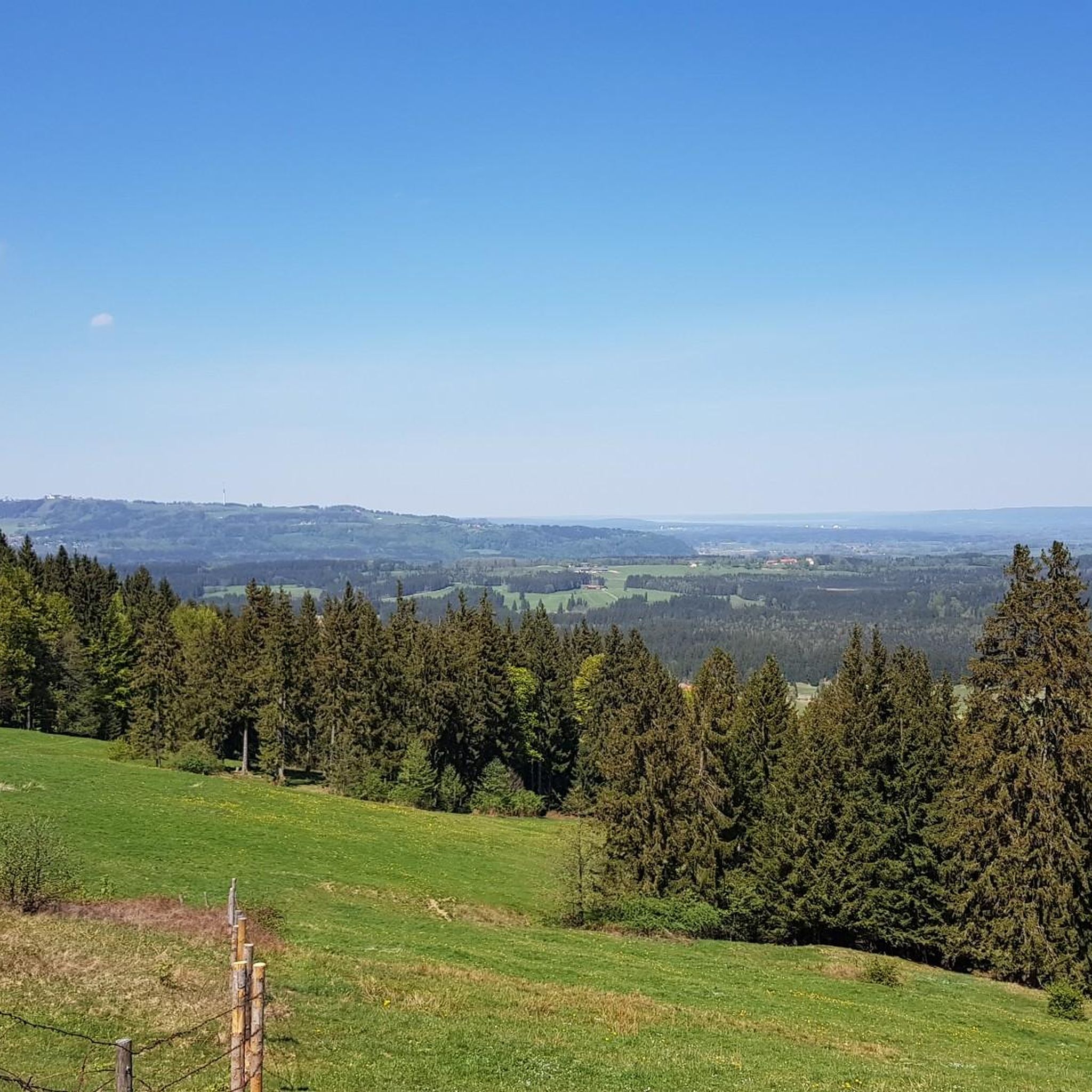
Mountaineering routes in Findenauer Wald traverse a landscape characterized by dense woodlands and river valleys, with trails leading to elevated viewpoints and modest summits. The region offers well-established paths suitable for mountain hiking, rather than technical climbing. These routes often feature varied terrain, including forest tracks and ascents to local peaks like Hörnle. The area is known for its extensive network of trails, providing opportunities to explore the natural environment on foot.
Best mountaineering routes in Findenauer Wald
- The most…
Last updated: July 15, 2026
5.0
(4)
19
hikers
Moderate mountaineering route. Good fitness required. Mostly accessible paths. Sure-footedness required.
5.0
(1)
25
hikers
9.92km
03:28
520m
520m
Moderate mountaineering route. Good fitness required. Mostly accessible paths. Sure-footedness required.

Sign up for free
4.7
(40)
398
hikers
7.33km
03:16
530m
530m
Moderate mountaineering route. Good fitness required. Mostly accessible paths. Sure-footedness required.
4.5
(2)
14
hikers
13.8km
05:26
780m
780m
Hard mountaineering route. Very good fitness required. Mostly accessible paths. Sure-footedness required.
4
hikers
12.5km
04:57
670m
670m
Moderate mountaineering route. Good fitness required. Mostly accessible paths. Sure-footedness required.
Get access to more routes and recommendations from other explorers.
Sign up for free
Already have an account?
Our route recommendations are based on thousands of hikes, rides, and runs completed by other people on komoot.
Start today with a free account
Your next adventure awaits.
Login or Signup
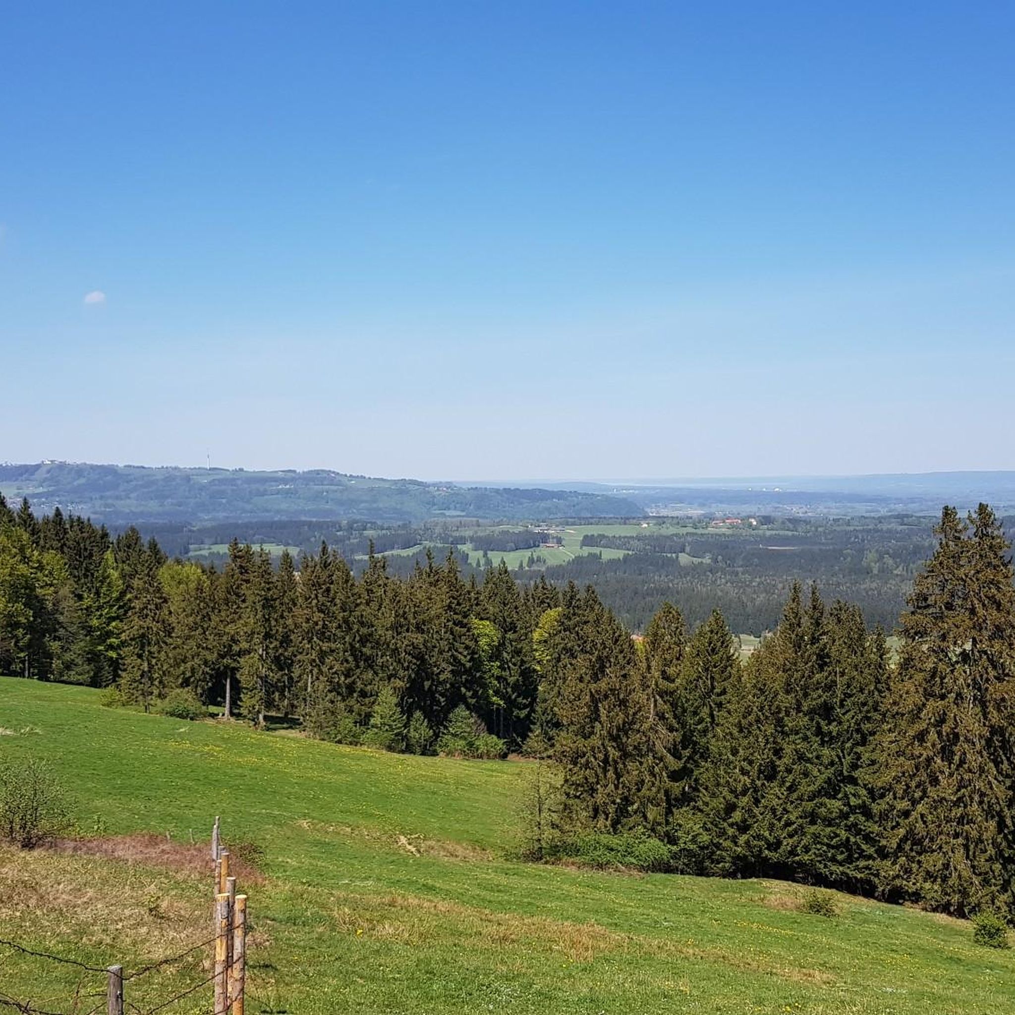
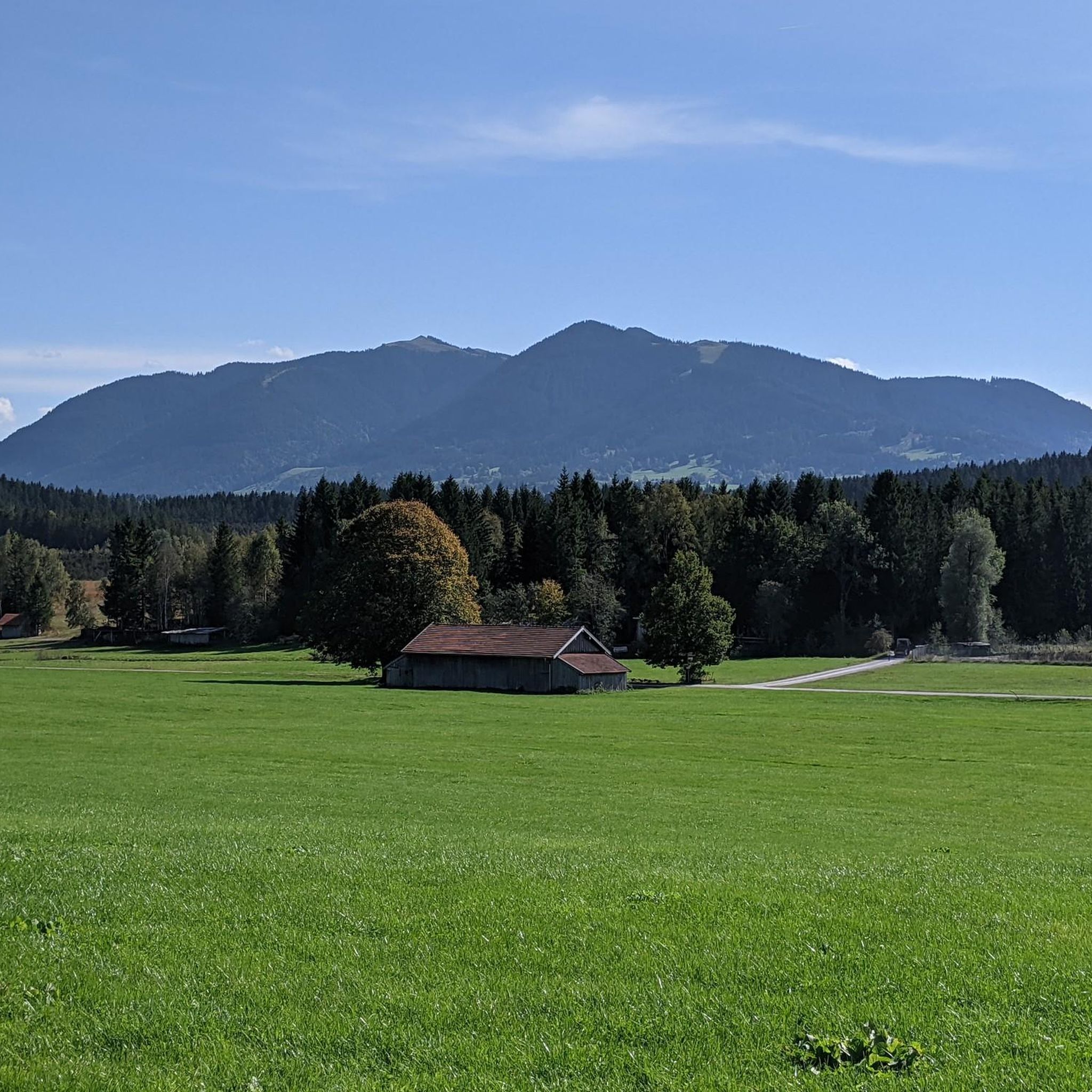
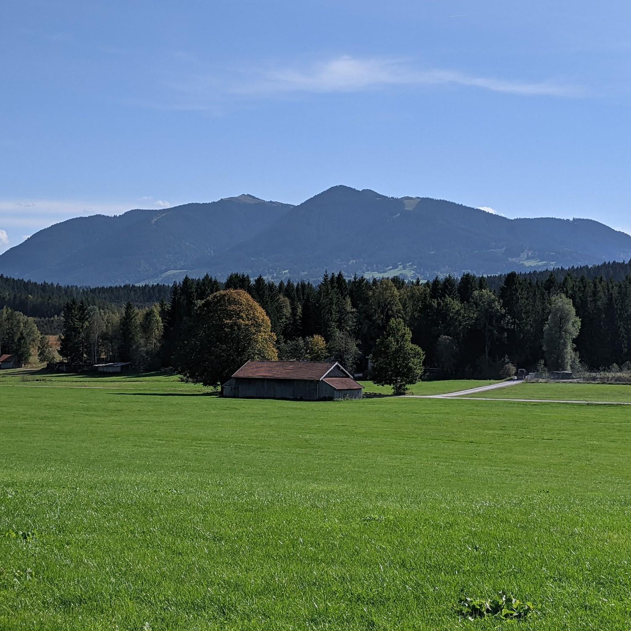
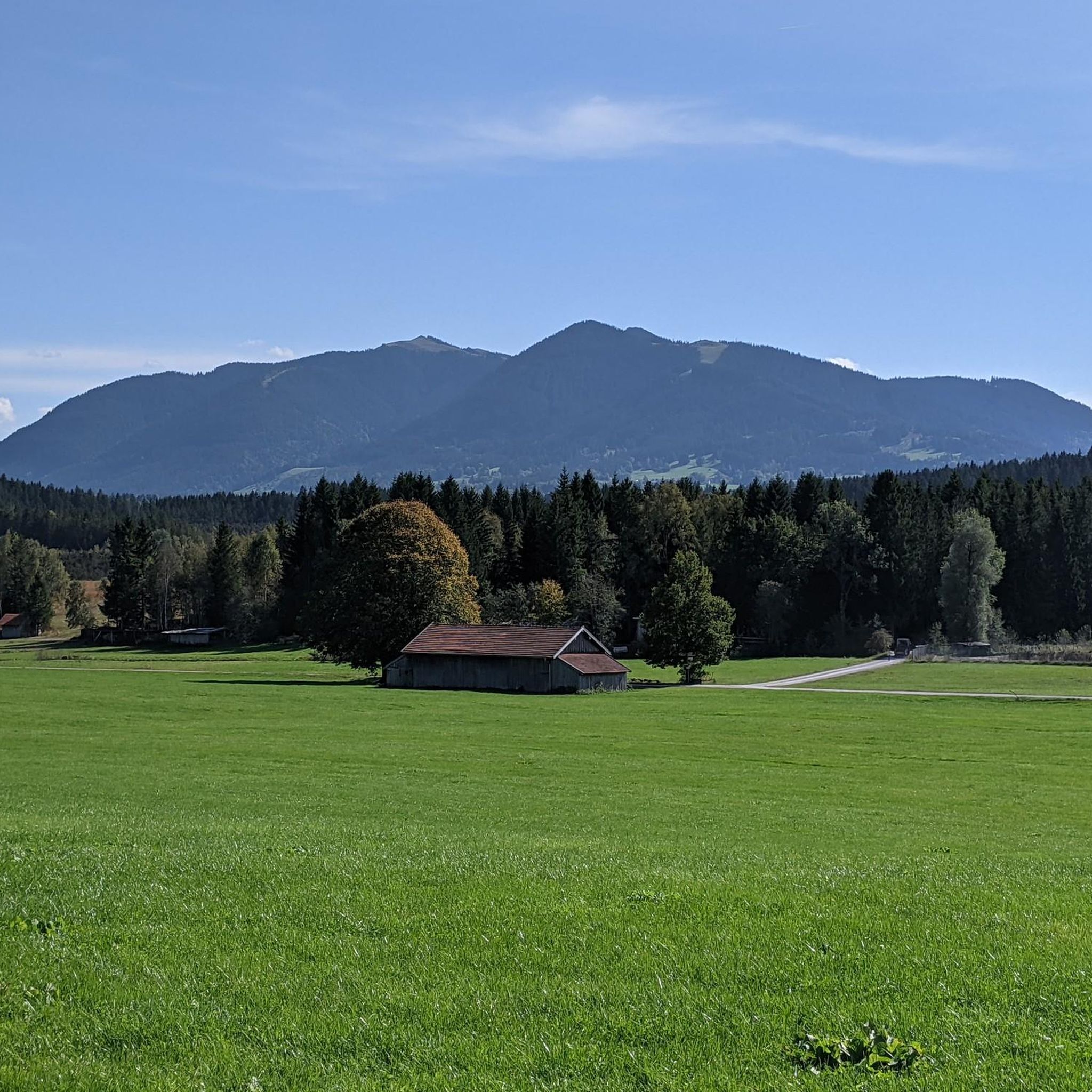

Tips from the Community

The Hörnlealm is located at 1,431 meters in the Ammergau Alps between the Vorderes Hörnle and Hinteres Hörnle. The restaurant offers typical alpine pasture food and drinks, including meals. Special highlights include homemade cottage cheese, buttermilk, and a daily homemade cake. The pasture is a 20-minute walk from the Hörnle cable car mountain station and a 1.5-hour walk from the Chapel Church in Unterammergau. (https://www.ammergauer-alpen.de/poi/hoernle-alm )
0
0

Nice little watering hole :)
0
0
The family-friendly Hörnlealm is a snack station and is located on the southern slope of the Mittlerer Hörnle in the Bavarian Ammergau Alps
0
0

Wonderful up here. Great view of the mountains
1
1

Normal hiking equipment is sufficient
2
0

Here you can take a little breather until you go up.
2
0

If the fog isn't wafting around...
1
0
Frequently Asked Questions
What kind of terrain can I expect on mountaineering routes in Findenauer Wald?
The routes in Findenauer Wald primarily traverse dense woodlands and river valleys. You'll find well-established paths leading to elevated viewpoints and modest summits. The area is known for its extensive network of trails, offering scenic walks rather than technical climbing.
How many mountaineering routes are available in Findenauer Wald?
There are over 60 mountaineering routes in Findenauer Wald, offering a wide range of options for different skill levels and preferences.
Are there routes suitable for beginners in Findenauer Wald?
Yes, Findenauer Wald offers routes suitable for beginners. While the majority are moderate, there are also easy options available. For example, you can find routes that are less demanding in terms of elevation and distance, perfect for those new to mountain hiking.
Are there challenging routes for experienced mountaineers in Findenauer Wald?
Absolutely. Findenauer Wald features over 30 difficult routes for experienced mountaineers. These often include significant ascents to local peaks. A challenging option is the Hinteres Hörnle Summit – Stierkopf loop from Bad Kohlgrub, which involves substantial elevation gain.
What do other mountaineers say about the routes in Findenauer Wald?
The routes in Findenauer Wald are highly rated by the komoot community, with an average score of 4.7 stars from over 500 reviews. Mountaineers often praise the varied terrain, the well-established paths, and the beautiful forest scenery.
Are there any circular mountaineering routes in Findenauer Wald?
Yes, many routes in Findenauer Wald are designed as circular loops, allowing you to start and end at the same point. An example is the Vorderes Hörnle – Zeitberg Viewpoint loop from Bad Kohlgrub, which takes you through varied landscapes.
What are some interesting sights or landmarks along the routes in Findenauer Wald?
Along the routes in Findenauer Wald, you can discover various points of interest. Consider visiting the Geizenmoos Trail, the historic Kirmesau Chapel, or the unique Ford and Footbridge Over the Ach. There's also the Hunter’s Monument Sonnenbichl for a cultural stop.
Are the mountaineering routes in Findenauer Wald suitable for families?
Findenauer Wald offers several routes that are suitable for families, especially those with some hiking experience. While specific 'family-friendly' designations aren't always explicit, many moderate and shorter routes through the woodlands provide an enjoyable experience for all ages.
Can I bring my dog on the mountaineering routes in Findenauer Wald?
Generally, dogs are welcome on the trails in Findenauer Wald. It's always advisable to keep your dog on a leash, especially in forested areas or near wildlife, and to check for any specific local regulations or protected areas along your chosen route.
Are there good viewpoints along the trails in Findenauer Wald?
Yes, many routes in Findenauer Wald lead to elevated viewpoints offering scenic vistas over the surrounding landscape. The Zeitberg Viewpoint – Hörnlehütte loop from Saulgrub is a popular choice specifically for its viewpoint.
What is the best time of year to go mountaineering in Findenauer Wald?
The best time for mountain hiking in Findenauer Wald is typically from spring through autumn, when the weather is milder and the trails are clear. During these seasons, the woodlands are vibrant, and conditions are generally favorable for exploring the region.
Are there any cafes or places to eat near the mountaineering routes?
While specific cafes directly on every route aren't listed, many routes in Findenauer Wald pass by or near mountain huts (like Hörnle Alm or Hörnlehütte) or villages such as Bad Kohlgrub and Saulgrub, where you can find refreshments and places to eat after your hike.
Most popular routes in Findenauer Wald
Most popular attractions in Findenauer Wald

Get inspired with the komoot mobile app


Explore more
Browse the best Mountain Hikes & Routes in other regions.
