The best running trails in Frienisbergwald
4.2
(570)
20,858
runners
554
runs
Jogging in Frienisbergwald offers routes through a diverse landscape, characterized by a mix of agricultural areas, dense forest stands, and small settlements. The Frienisberg plateau provides varied terrain, from open fields to shaded woodland paths, suitable for different running preferences. This region, recognized for its well-preserved natural and cultural features, features a network of trails that follow historical routes, providing both scenic beauty and accessible paths for runners. The elevation changes are generally moderate, making it suitable for a range…
Last updated: July 10, 2026
6
runners
Moderate run. Good fitness required. Mostly paved surfaces. Suitable for all skill levels.
8
runners
Moderate run. Good fitness required. Mostly paved surfaces. Suitable for all skill levels.

Sign up for free
4
runners
12.1km
01:22
250m
250m
Moderate run. Good fitness required. Mostly paved surfaces. Suitable for all skill levels.
7
runners
Easy run. Great for any fitness level. Mostly paved surfaces. Suitable for all skill levels.
5
runners
5.28km
00:36
140m
140m
Moderate run. Good fitness required. Mostly paved surfaces. Suitable for all skill levels.
Get access to more routes and recommendations from other explorers.
Sign up for free
Already have an account?
Our route recommendations are based on thousands of hikes, rides, and runs completed by other people on komoot.
Start today with a free account
Your next adventure awaits.
Login or Signup

Tips from the Community

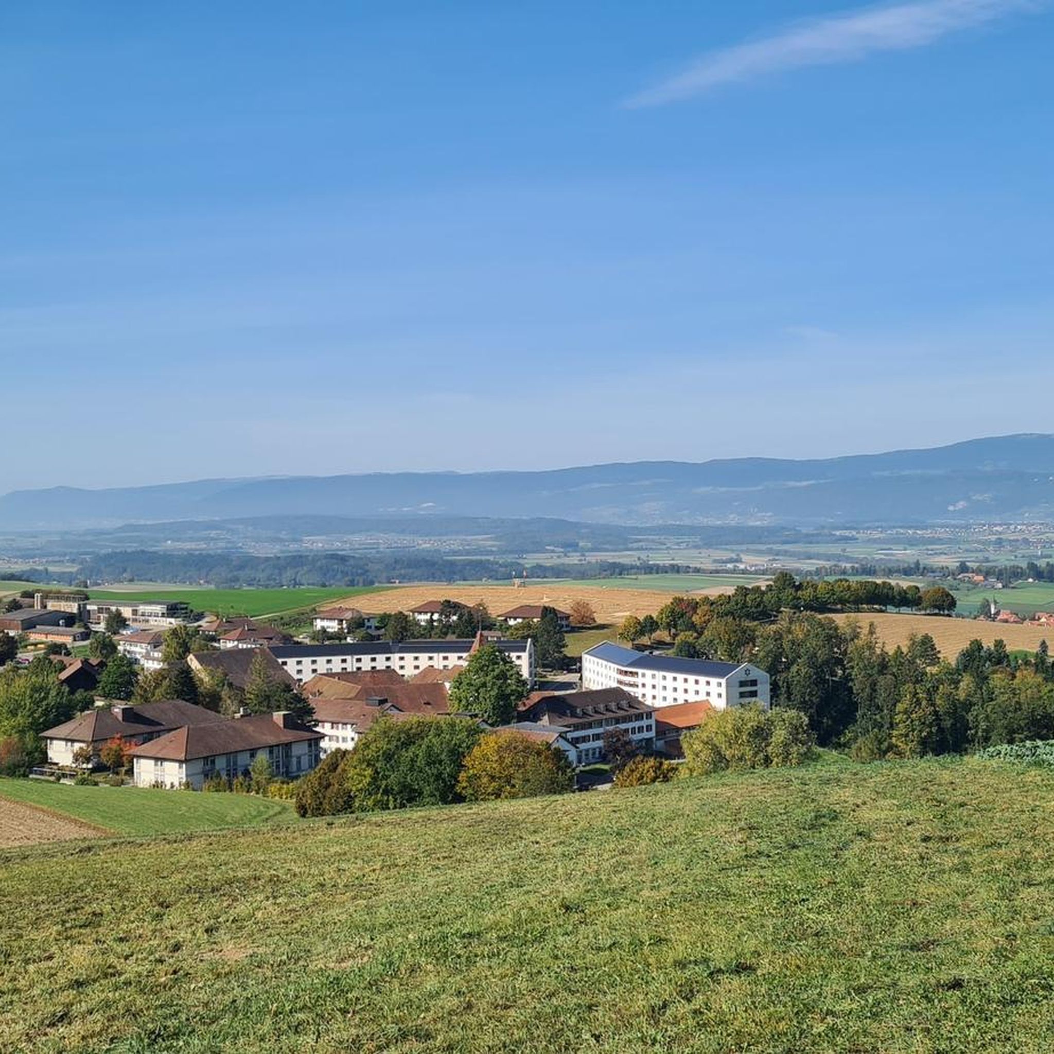
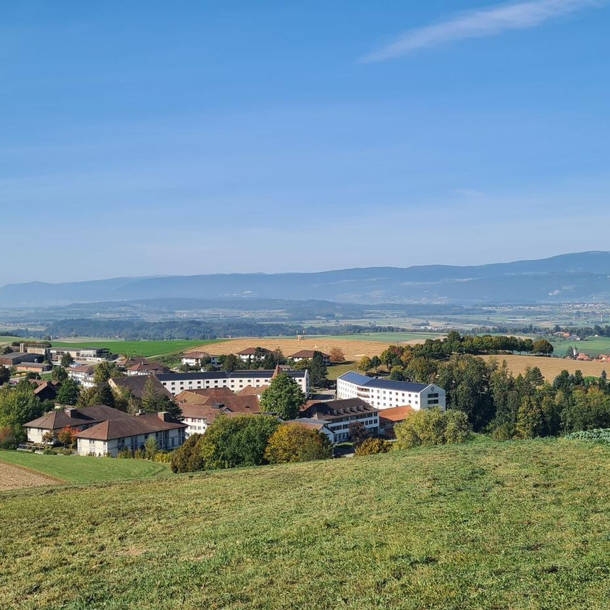
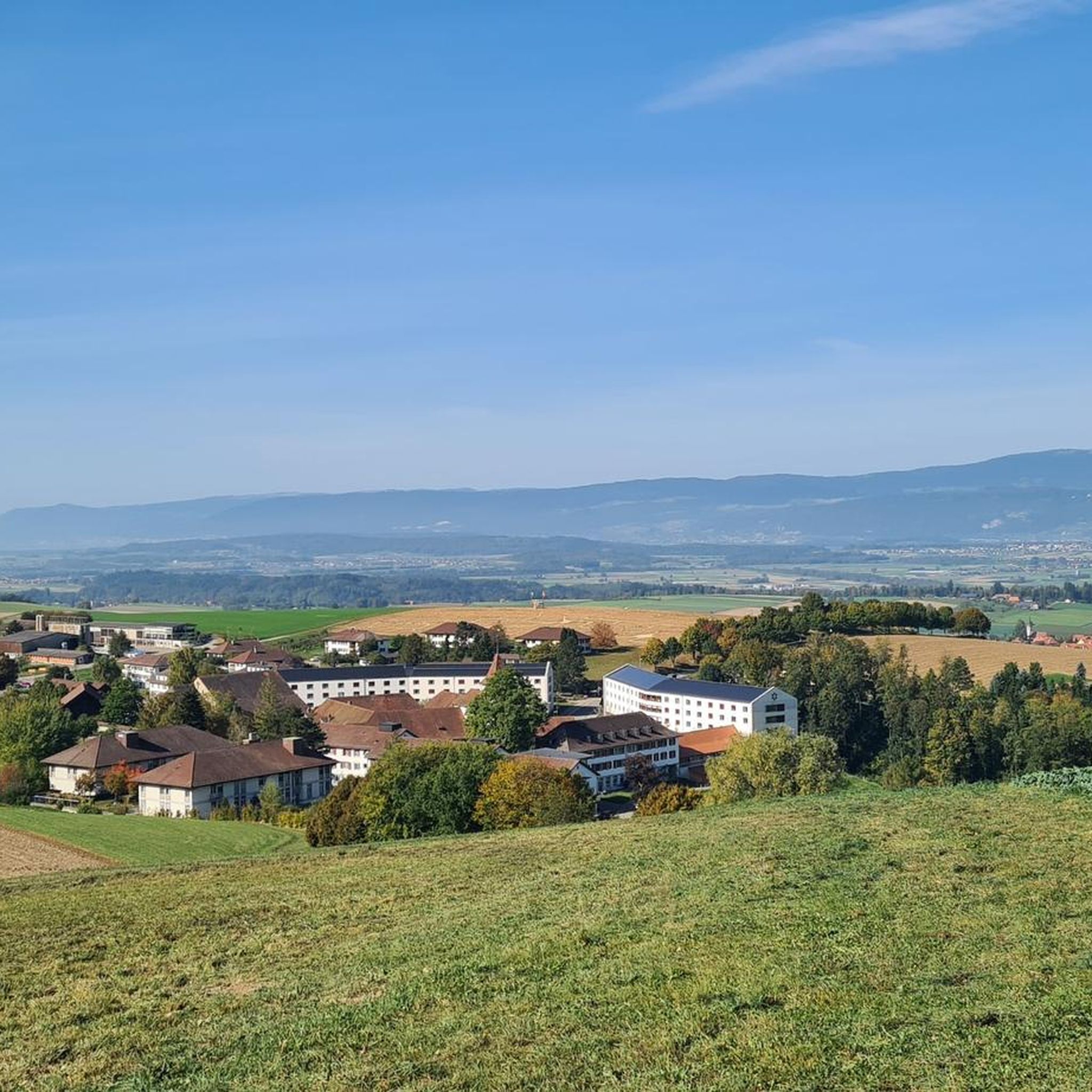
From Frienisberg via this short trail to the Chutzenturm, then continue northwest to the Lobsiger sandstone caves.
0
0

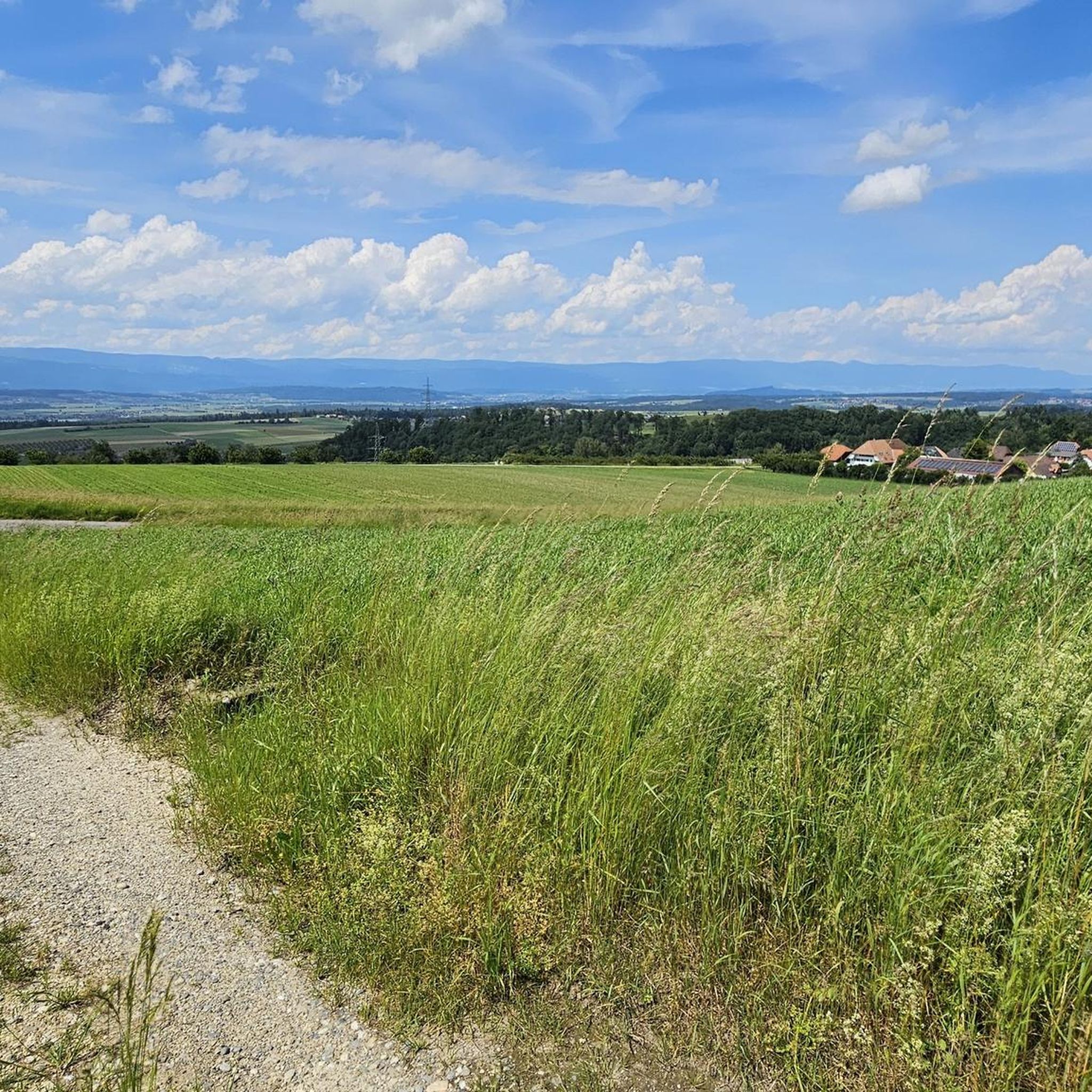
North of Bern, this part of the Plateau is rugged, without a real pass but never flat. Enough to offer beautiful viewpoints and link up short efforts.
1
0

Highlight title quote “Tell’s Hohle Gasse”? There is only one "Tell's Hohle Gasse" and it is not in this location. The Hohle Gasse is an artificial ravine between Küssnacht and Immensee in Switzerland. William Tell is said to have shot the Habsburg governor Hermann Gessler in Hohle Gasse in 1307. In Friedrich Schiller's drama Wilhelm Tell, Tell says (IV, 3): “He must come through this hollow alley. There is no other way to Küssnacht.” Today's Hohle Gasse was once the road from Küssnacht to Immensee. As traffic increased, a bypass was built in 1937, which relieved the Hohle Gasse of motorized traffic. The old road was narrowed with the help of stone blocks.
0
0

Imposing wooden tower. 45 meters high and with 234 steps
0
0

Brätlistelle with table right on the edge of the forest
1
0
This place means home to me
0
0
One of my favorite places.. Wonderful panorama of the Alps
1
0
Frequently Asked Questions
How many running routes are available in Frienisbergwald?
Frienisbergwald offers a wide selection of running routes, with over 560 trails available. This includes a diverse mix of easy, moderate, and challenging options to suit various fitness levels.
What is the overall difficulty level of running trails in Frienisbergwald?
The majority of running trails in Frienisbergwald are rated as moderate, making up over 450 routes. There are also about 50 easy routes perfect for beginners or a relaxed jog, and around 60 more challenging trails for experienced runners seeking a greater workout.
What do other runners say about the routes in Frienisbergwald?
The running routes in Frienisbergwald are highly regarded by the komoot community, boasting an average rating of 4.2 stars from over 460 reviews. More than 19,000 runners have explored the varied terrain, often praising the diverse landscapes and well-maintained paths.
Are there easy running routes suitable for beginners or families?
Yes, Frienisbergwald features several easy running routes ideal for beginners or families. For example, the Trittbode Trail – Chutzen Tower loop from Ehemaliges Zisterzienserkloster Frienisberg is an easy 4.8 km (3 miles) path with moderate elevation changes, offering a pleasant experience.
Can I find circular running routes in Frienisbergwald?
Absolutely. Many of the running routes in Frienisbergwald are circular, allowing you to start and finish at the same point. A popular option is the View of the Chutzenturm loop from Gemeindeverwaltung Radelfingen, a moderate 5.3 km (3.3 miles) loop offering scenic views.
Are there any viewpoints or natural features to see while running?
Yes, Frienisbergwald offers several points of interest. Many routes provide views of the Bernese Alps, and you can visit the Chutzen Tower for panoramic vistas. The region also features unique natural environments like the raised bogs of Lörmoos and Büsselimoos, which add to the diverse landscape.
What kind of terrain can I expect on the running trails?
Runners in Frienisbergwald can expect a richly contrasted landscape. Trails often combine structurally rich agricultural areas with fields and meadows, alongside dense forest stands. The historical transport network provides well-suited paths, ranging from open, vast landscapes to shaded woodland routes, with generally moderate elevation changes.
How can I get to the running trails in Frienisbergwald by public transport?
The historical transport network in Frienisbergwald is well-suited for accessibility. While specific public transport stops vary by route, the region's infrastructure often allows for convenient access to trailheads. It's advisable to check local bus schedules to specific starting points like Gemeindeverwaltung Radelfingen or Meikirch.
Where can I park when visiting Frienisbergwald for a run?
Parking is generally available near popular trailheads and settlements within Frienisbergwald. Many routes, such as those starting from Innerberg or Gemeindeverwaltung Radelfingen, have designated parking areas nearby. Look for parking facilities in or around the smaller settlements that integrate harmoniously into the landscape.
What is the best season for jogging in Frienisbergwald?
Frienisbergwald is enjoyable for jogging throughout much of the year. The diverse landscape, with its mix of open fields and shaded forests, offers pleasant conditions in spring, summer, and autumn. Even in winter, the well-maintained paths can be suitable, though conditions may vary with snow or ice.
Are there any longer running routes for more advanced runners?
Yes, Frienisbergwald has longer routes for those seeking a greater challenge. The Chutzen Tower – Frienisberg barbecue area loop from Meikirch is a moderate 12.1 km (7.5 miles) trail with significant elevation gain, offering a good workout through varied terrain.
Are there places to eat or drink near the running trails?
While Frienisbergwald is known for its natural beauty, small settlements with traditional farmhouses and newer buildings are integrated into the surroundings. These often provide opportunities for cafes or restaurants. It's recommended to check for specific establishments in villages like Meikirch or Radelfingen before your run.
Most popular routes in Frienisbergwald
Most popular attractions in Frienisbergwald

Get inspired with the komoot mobile app


Explore more
Browse the best Running Trails & Routes in other regions.
