The best running trails in La Fuvelle
4.1
(137)
8,275
runners
13
runs
Jogging routes in La Fuvelle often feature paths around Lake Saint-Point, providing a mix of lakeside trails and routes with views of the surrounding landscape. The terrain typically includes moderate elevation changes, suitable for various fitness levels. The region offers a network of running paths that traverse both open areas and sections with some tree cover.
Best jogging routes in La Fuvelle
- The most popular jogging route is Lake Saint-Point – View of Lac de Saint-Point loop from Labergement-Sainte-Marie,…
Last updated: July 10, 2026
13
runners
6.72km
00:45
110m
110m
Moderate run. Good fitness required. Mostly paved surfaces. Suitable for all skill levels.
37
runners
9.47km
01:09
250m
250m
Moderate run. Good fitness required. Mostly paved surfaces. Suitable for all skill levels.

Sign up for free
5.0
(1)
26
runners
5.49km
00:35
60m
60m
Moderate run. Good fitness required. Mostly paved surfaces. Suitable for all skill levels.
5.0
(1)
16
runners
5.56km
00:41
160m
160m
Moderate run. Good fitness required. Mostly paved surfaces. Suitable for all skill levels.
11
runners
12.2km
01:21
250m
250m
Moderate run. Good fitness required. Mostly paved surfaces. Suitable for all skill levels.
Get access to more routes and recommendations from other explorers.
Sign up for free
Already have an account?
Our route recommendations are based on thousands of hikes, rides, and runs completed by other people on komoot.
Start today with a free account
Your next adventure awaits.
Login or Signup

Tips from the Community


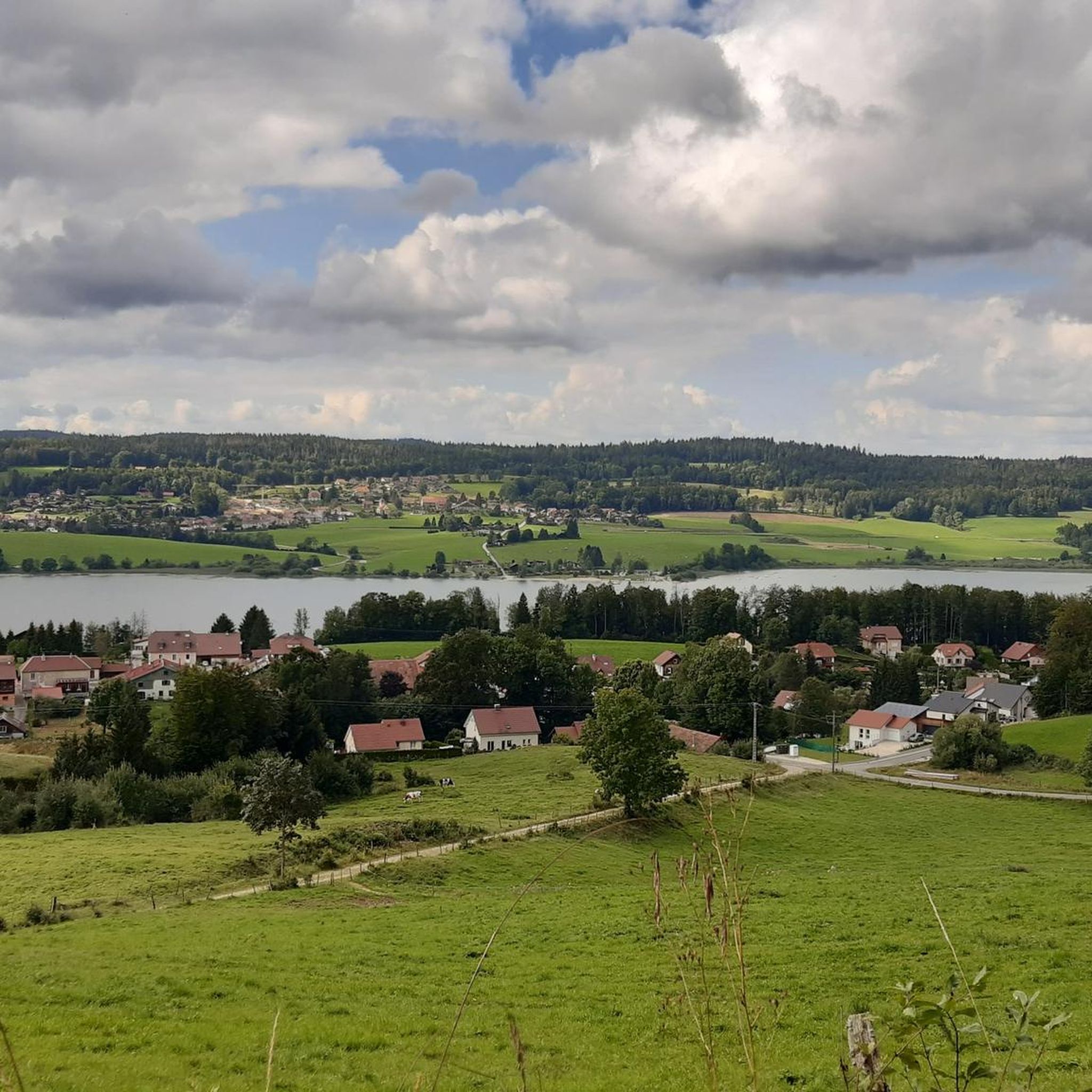
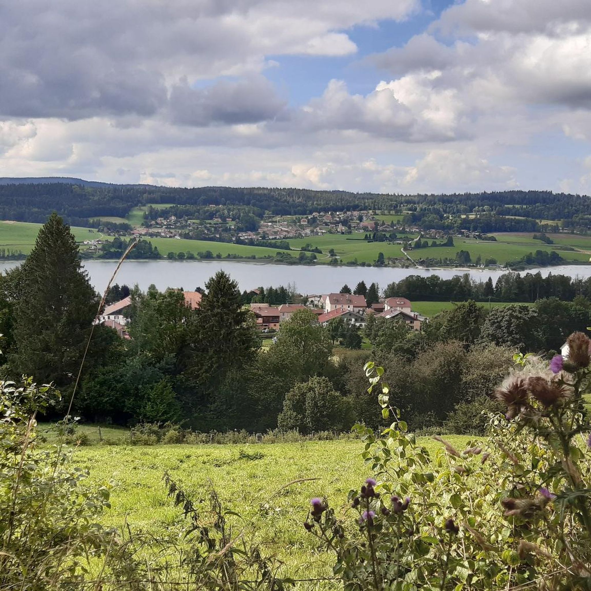
The Saint-Point lake is with the lake of Remorray adjoining it, and that of the lake of Joux located in Switzerland, one of the most beautiful glacial lakes that one can meet on these high plateaus of the Jura.
1
0

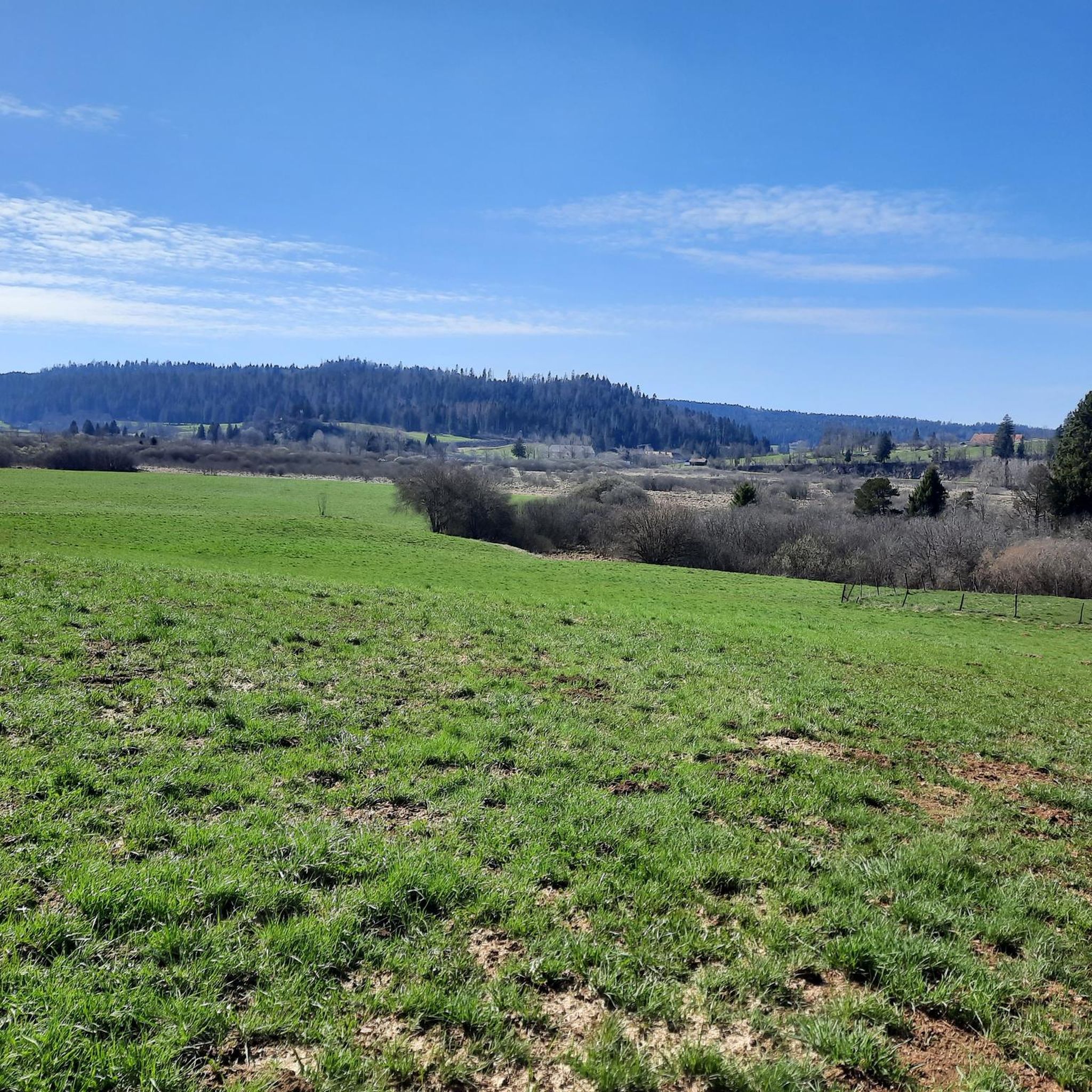
Wonderful lonely tour with the Mtb
0
0

Better than the big roads, they are very muddy.
0
0
Frequently Asked Questions
How many running routes are available in La Fuvelle?
La Fuvelle offers a wide selection of running routes, with over 450 trails available for you to explore. These routes cater to various preferences, from easy strolls to more challenging runs.
What kind of terrain can I expect on jogging routes in La Fuvelle?
Jogging routes in La Fuvelle primarily feature paths around Lake Saint-Point, offering a mix of lakeside trails and routes with views of the surrounding landscape. The terrain typically includes moderate elevation changes, suitable for various fitness levels, and a network of paths that traverse both open areas and sections with some tree cover.
Are there easy running routes suitable for beginners or families in La Fuvelle?
Yes, La Fuvelle has 17 easy running routes that are perfect for beginners or families looking for a more relaxed experience. These routes generally have less elevation gain and are shorter in distance, providing an enjoyable way to experience the area's natural beauty.
Can I find more challenging running trails in La Fuvelle?
Absolutely. For those seeking a more strenuous workout, La Fuvelle offers 132 difficult running trails. These routes typically feature greater distances and more significant elevation changes, providing a good challenge for experienced runners.
Are there any circular running routes around Lake Saint-Point?
Yes, many of the running routes in La Fuvelle are circular and offer beautiful views of Lake Saint-Point. For example, the Lake Saint-Pont – Lake Saint-Point loop from Malbuisson is a moderate 4.2-mile (6.8 km) path that provides a scenic loop directly around the lake.
What are some scenic viewpoints or attractions along the running trails in La Fuvelle?
Many running routes in La Fuvelle offer expansive views of Lac de Saint-Point. For instance, the Sheltered Picnic Area – View of Lac de Saint-Point loop from Malbuisson provides excellent vistas. The region's natural setting, with its diverse flora and fauna, makes for a picturesque backdrop to your run.
What do other runners say about the jogging experience in La Fuvelle?
The running routes in La Fuvelle are highly rated by the komoot community, with an average score of 4.0 stars from over 100 reviews. More than 8,000 runners have used komoot to explore La Fuvelle's varied terrain, often praising the scenic lakeside paths and the options for different ability levels.
Are the running routes in La Fuvelle suitable for dogs?
While specific regulations for dogs on trails in La Fuvelle are not detailed, many natural areas in similar regions welcome dogs on a leash. It's always recommended to check local signage or official park websites for the most current pet policies before heading out with your dog.
Is there public transport access to the running trails in La Fuvelle?
Information regarding specific public transport links directly to the running trails in La Fuvelle is not readily available. It is advisable to check local transport schedules or consider driving to trailheads, especially for routes starting from smaller villages around Lake Saint-Point.
Where can I park when accessing jogging routes in La Fuvelle?
While specific parking areas are not listed for each route, trailheads in villages like Labergement-Sainte-Marie, Saint-Point-Lac, and Malbuisson, which are common starting points for routes around Lake Saint-Point, typically offer public parking options. Look for designated parking lots near popular access points.
What is the typical duration for a running route in La Fuvelle?
The duration of running routes in La Fuvelle varies significantly based on distance and elevation. For example, a moderate route like the Lake Saint-Point – Lake Saint-Pont loop from Saint-Point-Lac, which is 5.2 miles (8.4 km), typically takes around 1 hour 5 minutes to complete. Longer routes can take over 1.5 hours.
Are there any routes that are particularly sheltered or offer tree cover?
Yes, the network of running paths in La Fuvelle includes sections with some tree cover, offering shelter from the sun or light rain. While many routes are open along the lakeside, you can find trails that weave through more wooded areas, providing a varied running experience.
What is the best time of year to go jogging in La Fuvelle?
Given the region's natural beauty and lakeside setting, jogging in La Fuvelle is enjoyable across multiple seasons. Spring and autumn offer pleasant temperatures and vibrant scenery, while summer provides longer daylight hours. Winter jogging is also possible, though conditions may vary, especially with potential snow around the lake.
Most popular routes in La Fuvelle

Get inspired with the komoot mobile app


Explore more
Browse the best Running Trails & Routes in other regions.
