The 11 Most Amazing Peaks around Niederbreitbach
Best mountain peaks around Niederbreitbach are characterized by rolling hills and dense forests within the Westerwald region of Germany. The area features elevated points and heights that provide panoramic views. These locations are integral to popular hiking routes, offering natural beauty and recreational opportunities. The region's maximum elevation reaches over 300 meters.
Best mountain peaks around Niederbreitbach
- The most popular mountain peaks is Bärenkopp summit cross – View of Waldbreitbach, a summit that offers views as far as the…
Last updated: July 1, 2026
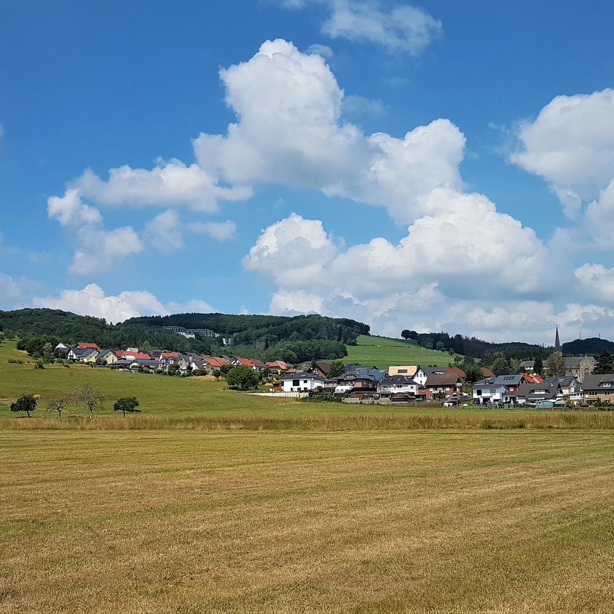
Malberg Summit
Highlight • Summit
Translated by Google •
Tip by

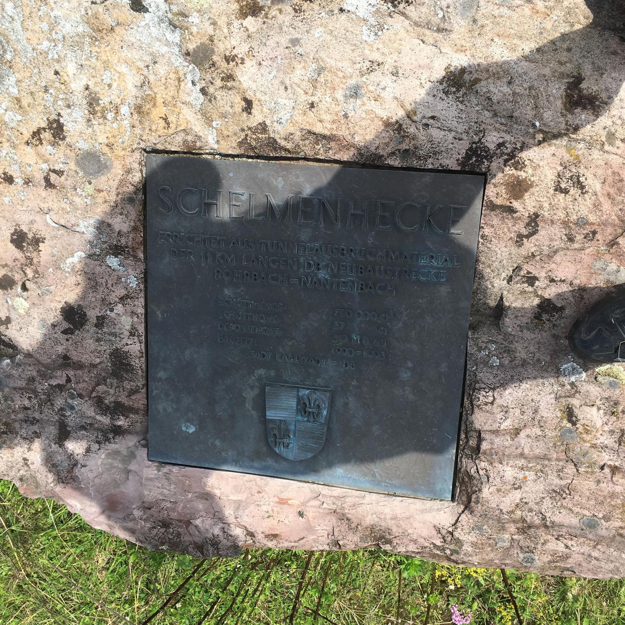
Kaiserberg summit cross and view over Linz am Rhein
Highlight • Viewpoint
Showing Translation
Tip by

Sign up now to discover places like this
Get recommendations on the best single tracks, peaks, & plenty of other exciting outdoor places.
Sign up for free
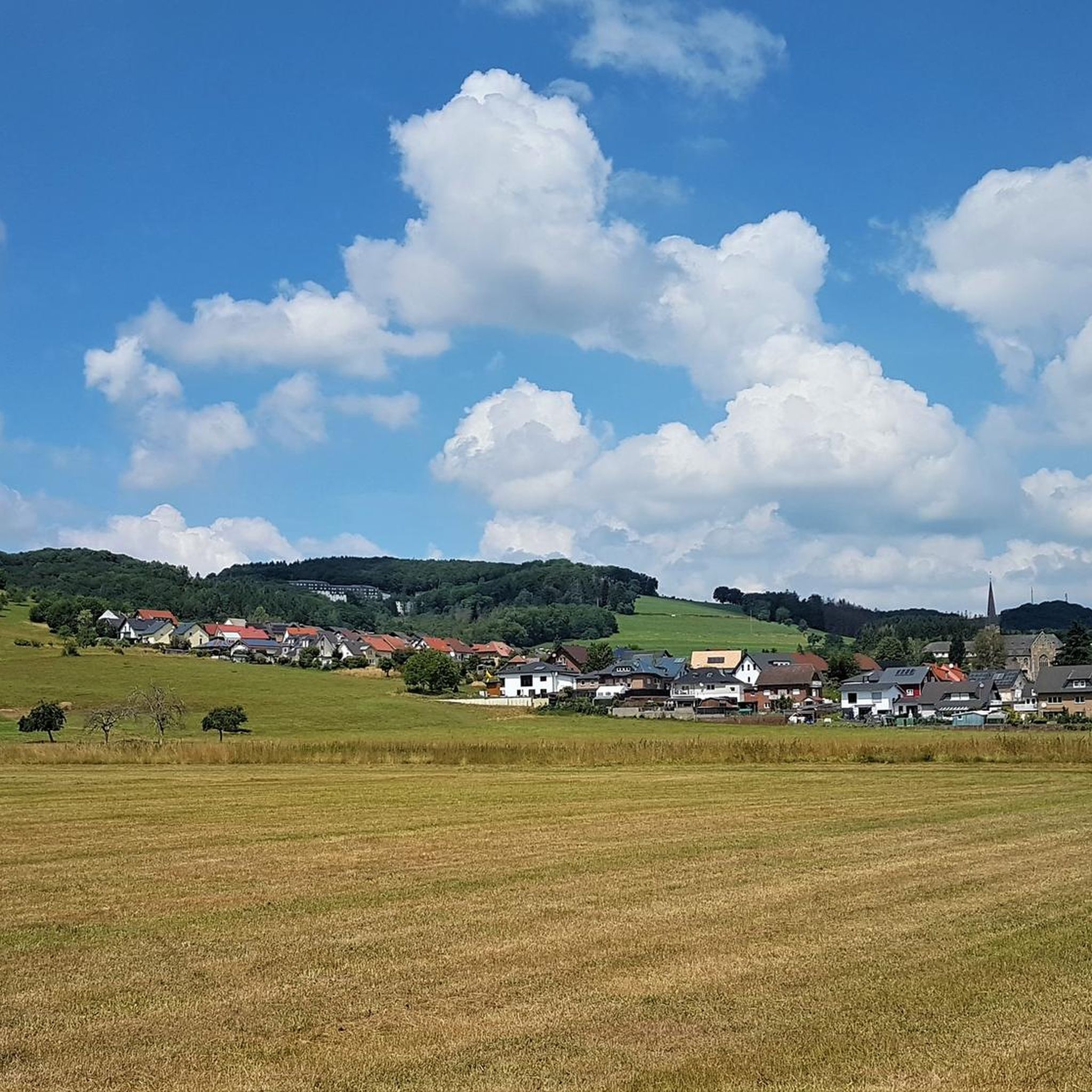
Bärenkopp summit cross – View of Waldbreitbach
Highlight • Summit
Translated by Google •
Tip by
WällerTour Bärenkopp
Highlight (Segment) • Trail
Translated by Google •
Tip by

View from Roßbacher Häubchen
Highlight • Viewpoint
Translated by Google •
Tip by

Sign up for free to discover even more peaks around Niederbreitbach.
Sign up for free
Already have an account?
Start today with a free account
Your next adventure awaits.
Login or Signup
Other adventures around Niederbreitbach

Tips from the Community

There are two ways to the summit (Bärenkopp), I chose the steep route. A bit of a challenge, but I'm happy to have made it.
4
0

On to the Kaiserberg, up and down are no problem.
10
0

From the Kaiserberg you have a magnificent view over the Rhine Valley. The cross is enthroned majestically and an information board explains the basalt mining near Linz. The Donatus chapel is a quiet place of worship.
9
1

The Wällertour Bärenkopp is a beautiful, well-marked hiking route that is really worth doing.
5
0

Like all Wäller tours, the Bärenkopp is a great, well-marked circular hiking trail with beautiful views and different conditions along the way.
3
0

Beautiful, well-kept hiking trails around the Malberg. Goats are currently grazing there to keep the impassable parts free.
5
0

Coming from Linz, you have your first ascent behind you here and can enjoy the beautiful view over the Rhine with a panorama map. Benches invite you to take a breather.
10
0

Frequently Asked Questions
What are some notable elevated points in Niederbreitbach offering great views?
While Niederbreitbach is known for rolling hills rather than towering mountains, several elevated points provide stunning panoramic views. These include the Bärenkopp, the Glockscheider heights, the Weißenfelser Ley, and the Malberg. Each offers unique perspectives of the Wiedtal valley and beyond.
What kind of views can I expect from the elevated points around Niederbreitbach?
From various elevated points, you can expect expansive views of the picturesque Wied Valley, the Rheinhöhen (Rhine Heights), and even glimpses of the distant Siebengebirge mountain range and the Eifel. For instance, the Kaiserberg summit cross offers a beautiful view of the Rhine and Remagen Kripp, while the Hummelsberg Summit Cross provides a wonderful view of the Linzer Höhe and far into the Eifel.
Are there popular hiking routes that include these elevated points?
Yes, many popular hiking routes incorporate these scenic elevated points. The 'Wäller Tour Bärenkopp' leads to the Bärenkopp, offering varied scenery and views of the Wiedtal valley. The N5 Niederbreitbach circular route takes you up to the Glockscheider heights, and the W3 Waldbreitbach route guides visitors through the heights of Hausen and Frorath. The long-distance WesterwaldSteig also ascends the Malberg.
What are some family-friendly hiking options around Niederbreitbach's elevated points?
Many of the trails around Niederbreitbach's elevated points are suitable for families. The Malberg Summit and Kaiserberg summit cross are both categorized as family-friendly highlights. The 'Wäller Tour Bärenkopp' is a moderate route that can be enjoyed by families, offering an enjoyable experience with varied scenery.
Can I find challenging hikes near Niederbreitbach's elevated points?
While the region is characterized by rolling hills, some routes offer more challenging sections. For example, the WällerTour Bärenkopp has options for a short and fairly steep ascent to the summit. The overall difficulty of routes can vary, with some longer trails like the 'WällerTour Bärenkopp – Waldbreitbach Riverside loop' being rated as difficult.
Are there circular hiking routes available around Niederbreitbach's elevated points?
Yes, there are several circular hiking routes. The N5 Niederbreitbach is a varied circular route that leads up to the Glockscheider heights. The 'WällerTour Bärenkopp' is also described as a beautiful, well-marked circular route. You can find more options for circular hikes in the Hiking around Niederbreitbach guide.
What other outdoor activities can I do near the elevated points of Niederbreitbach?
Beyond hiking, the area around Niederbreitbach offers opportunities for various outdoor activities. You can explore numerous running trails, including routes along the Wied river. For cyclists, there are also gravel biking routes that take you through the scenic Wied Valley and surrounding areas.
When is the best time of year to visit the elevated points in Niederbreitbach?
The region's natural beauty can be enjoyed throughout the year. Spring brings lush greenery and blooming wildflowers, while autumn offers vibrant fall foliage, making both seasons particularly scenic for hiking. Summer is ideal for longer days on the trails, and even winter can offer unique, serene landscapes, especially on trails like the WesterwaldSteig.
Are there places to eat or rest near the elevated points?
Yes, some elevated points offer facilities for rest and refreshments. The Malberg features a hiking and ski hut where you can pause, enjoy a magnificent view, and find a delicious menu. Many trails also have benches at viewpoints, such as at the Bärenkopp summit cross, perfect for a longer rest.
Are the trails around Niederbreitbach's peaks dog-friendly?
Many of the trails and elevated points in the Niederbreitbach area are dog-friendly, allowing you to bring your canine companion along. For example, the Malberg Summit is listed as dog-friendly. Always ensure your dog is on a leash and that you clean up after them to maintain the natural environment for everyone.
What is the typical terrain like on the trails around Niederbreitbach's elevated points?
The terrain around Niederbreitbach is varied, characterized by rolling hills and dense forests. Trails often feature rustic paths, forest tracks, and sometimes follow the Wied river. While not alpine, some ascents can be steep, and sturdy shoes are recommended, especially for highlights like the Hummelsberg Summit Cross where sure-footedness is required.
Are there any unique geological features among the elevated points in Niederbreitbach?
Yes, the region has interesting geological features. The Roßbacher Häubchen, for instance, is a 340-meter-high basalt hill. Its basalt composition is a visible reminder of the intense volcanism that once shaped the region, offering a unique natural landmark to explore.
Most popular routes around Niederbreitbach
Most popular attractions around Niederbreitbach

Get inspired with the komoot mobile app


Explore more
See even more amazing summits around Niederbreitbach with these guides:
