The best MTB trails in Forêt Territoriale De Tova
4.5
(194)
1,126
riders
31
rides
Mountain biking in Forêt Territoriale De Tova offers diverse terrain within a medium-mountain forest environment. The region is characterized by elevations ranging from 480 to 1335 meters, encompassing extensive woodlands of green oak, pubescent oak, and Corsican pine. This altitudinal variation creates a varied topography with paths suitable for mountain biking, from shaded forest trails to routes with significant elevation changes. The protected status of the forest ensures a preserved natural setting for outdoor activities.
Best mountain bike trails in…
Last updated: July 12, 2026
4.1
(8)
31
riders
36.2km
03:21
930m
930m
Hard mountain bike ride. Very good fitness required. Suitable for all skill levels.
3.7
(3)
14
riders
32.0km
03:24
860m
860m
Moderate mountain bike ride. Good fitness required. Suitable for all skill levels.

Sign up for free
4.5
(2)
17
riders
23.7km
01:52
520m
520m
Moderate mountain bike ride. Good fitness required. Suitable for all skill levels.
7
riders
42.5km
02:33
440m
440m
Moderate mountain bike ride. Good fitness required. Suitable for all skill levels.
4.3
(30)
134
riders
44.2km
04:17
1,120m
1,120m
Hard mountain bike ride. Very good fitness required. Advanced riding skills necessary.
Get access to more routes and recommendations from other explorers.
Sign up for free
Already have an account?
Our route recommendations are based on thousands of hikes, rides, and runs completed by other people on komoot.
Start today with a free account
Your next adventure awaits.
Login or Signup

Tips from the Community

super mega pretty round
3
0

As of February 2026, the tower is closed for renovations. However, it can be clearly seen from the surrounding paths.
0
0

A little challenging when going up, due to many medium sized obstacles. It gets quite narrow in some points, not like a single track though.
0
0

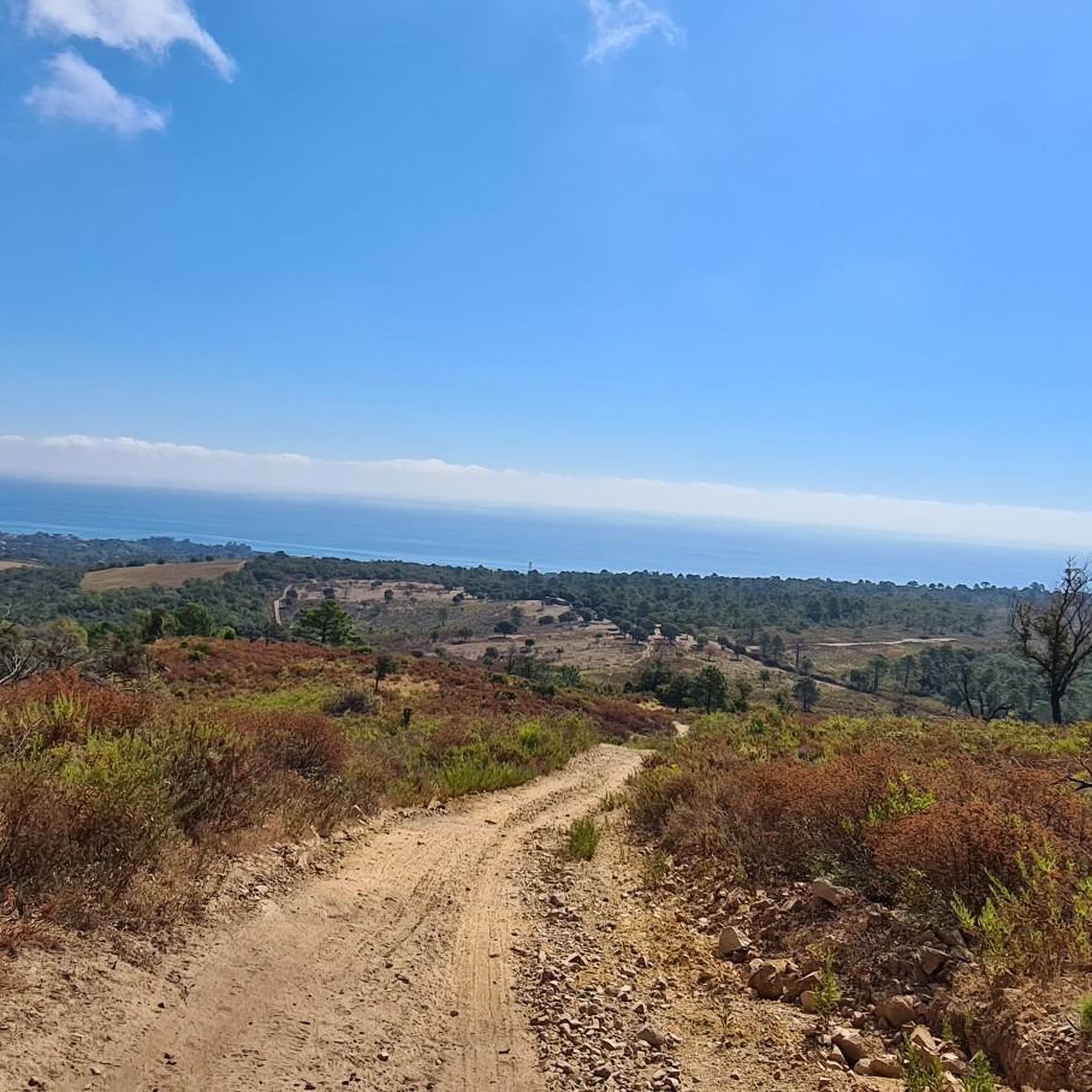
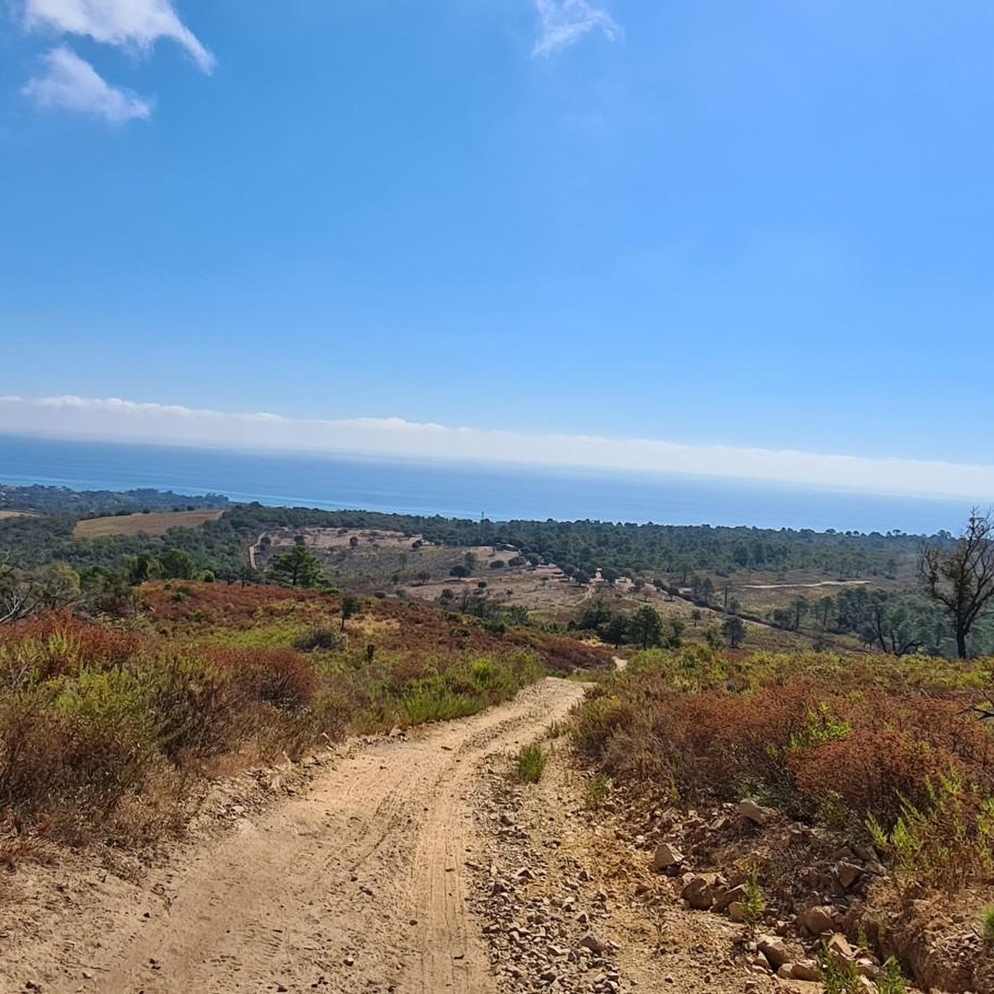
Beautiful view of Plage de Canella
0
0

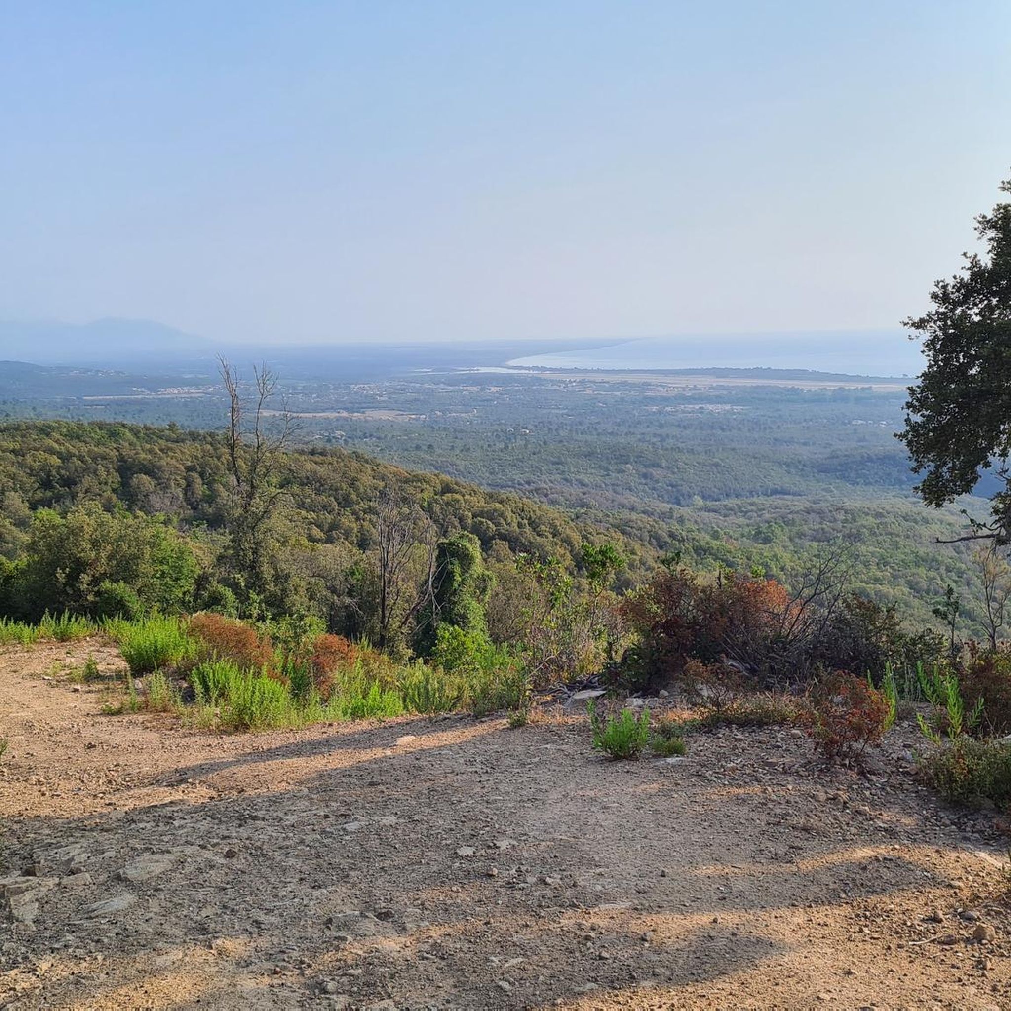
From Solenzara. Be careful to get there early! Lots of people at the top and many restaurants
0
0
Frequently Asked Questions
How many mountain bike trails are available in Forêt Territoriale De Tova?
There are over 30 mountain bike trails in Forêt Territoriale De Tova, offering a wide range of options for different skill levels. These include 3 easy routes, 18 moderate routes, and 11 difficult routes.
What are the typical difficulty levels for mountain biking in Forêt Territoriale De Tova?
The trails in Forêt Territoriale De Tova range from easy to difficult. You'll find 3 easy routes, 18 moderate routes, and 11 challenging difficult routes, ensuring options for various experience levels. The region's altitudinal variation, from 480 to 1335 meters, contributes to varied terrain.
Are there any routes with significant elevation gain for experienced mountain bikers?
Yes, Forêt Territoriale De Tova offers routes with significant elevation gain. For example, the Alba da Solaro – Col du Saltu under the trees 🤩 loop from Solenzara is a difficult trail covering 44.2 km with over 1100 meters of elevation gain, providing a challenging experience.
What kind of terrain can I expect on the mountain bike trails?
You can expect diverse terrain, from shaded forest paths through dense woodlands of green oak, pubescent oak, and Corsican pine, to routes with significant elevation changes. The medium-mountain forest environment ensures a mix of surfaces and gradients suitable for mountain biking.
Are there any viewpoints or landmarks along the mountain bike trails?
Yes, a notable landmark and viewpoint is the Bergeries de Tova, which offers beautiful panoramic views. The region's varied topography also includes passes like Salto, Catterie, and Pré d'Agnello nearby, hinting at scenic spots.
What do other mountain bikers say about the trails in Forêt Territoriale De Tova?
The mountain bike trails in Forêt Territoriale De Tova are highly rated by the komoot community, with an average score of 4.6 stars from over 150 reviews. Riders often praise the tranquil forest experience and the diverse terrain suitable for various skill levels.
Are there any circular mountain bike routes in the area?
Yes, many routes in Forêt Territoriale De Tova are circular. An example is the Travo River loop from Puzzone, a 35.3 km moderate trail that follows the Travo River, or the Col du Saltu under the trees 🤩 – Alba da Solaro loop from Solaro, a 32.0 km moderate path through dense tree cover.
What is a good moderate mountain bike trail for a scenic ride?
For a scenic moderate ride, consider the Fautea Tower – Fautea Beach loop from Le Galion. This 43.2 km route offers varied forest paths and takes you towards coastal views, providing a refreshing experience.
Is there a good option for a shorter mountain bike ride?
If you're looking for a shorter ride, the Alba da Solaro – Bike Corsica (e-bike rental) loop from Chiola is a moderate 21.8 km trail that can typically be completed in about 1 hour 44 minutes, leading through diverse forest landscapes.
What is the best time of year to go mountain biking in Forêt Territoriale De Tova?
The dense tree cover of Forêt Territoriale De Tova provides a refreshing and peaceful atmosphere, making it particularly appealing during warmer months. Spring and autumn also offer pleasant temperatures and beautiful scenery for mountain biking.
Are there any specific considerations for mountain biking in winter?
While the forest is accessible year-round, the elevation ranges from 480 to 1335 meters, so higher sections may experience colder temperatures and potentially snow in winter. It's advisable to check local weather conditions and trail reports before heading out during the colder months.
Is Forêt Territoriale De Tova suitable for family mountain biking?
With 3 easy and 18 moderate routes, Forêt Territoriale De Tova offers options that can be suitable for families, depending on their experience level. The tranquil, protected forest environment provides a pleasant setting for outdoor activities.
Most popular routes in Forêt Territoriale De Tova

Get inspired with the komoot mobile app


Explore more
Browse the best MTB trails in other regions.
