The best running trails in Δάσος Χειμάρρων Σελεμνού Και Χαράνδρου Αχαΐας
4.3
(28)
774
runners
42
runs
Jogging routes in Δάσος Χειμάρρων Σελεμνού Και Χαράνδρου Αχαΐας traverse a protected natural area in Western Greece, offering a diverse landscape for runners. The region is situated in the foothills of the Panachaiko mountain, providing varied gradients and a rich, forested environment. Joggers can experience diverse terrain amidst lush woodlands, with routes ranging from accessible paths to more challenging trails. This topography contributes to a serene and engaging experience for outdoor activity.
Best jogging routes in Δάσος Χειμάρρων Σελεμνού Και…
Last updated: July 5, 2026
13
runners
15.2km
02:16
750m
750m
Hard run. Very good fitness required. Mostly paved surfaces. Suitable for all skill levels.
10
runners
20.9km
03:39
1,480m
1,480m
Hard run. Very good fitness required. Sure-footedness, sturdy shoes and alpine experience required.

Sign up for free
5
runners
20.8km
02:39
900m
900m
Hard run. Very good fitness required. Mostly paved surfaces. Suitable for all skill levels.
22
runners
11.8km
01:14
50m
50m
Moderate run. Good fitness required. Mostly paved surfaces. Suitable for all skill levels.
4
runners
11.9km
01:14
80m
80m
Moderate run. Good fitness required. Mostly paved surfaces. Suitable for all skill levels.
Get access to more routes and recommendations from other explorers.
Sign up for free
Already have an account?
Our route recommendations are based on thousands of hikes, rides, and runs completed by other people on komoot.
Start today with a free account
Your next adventure awaits.
Login or Signup
Popular around Δάσος Χειμάρρων Σελεμνού Και Χαράνδρου Αχαΐας
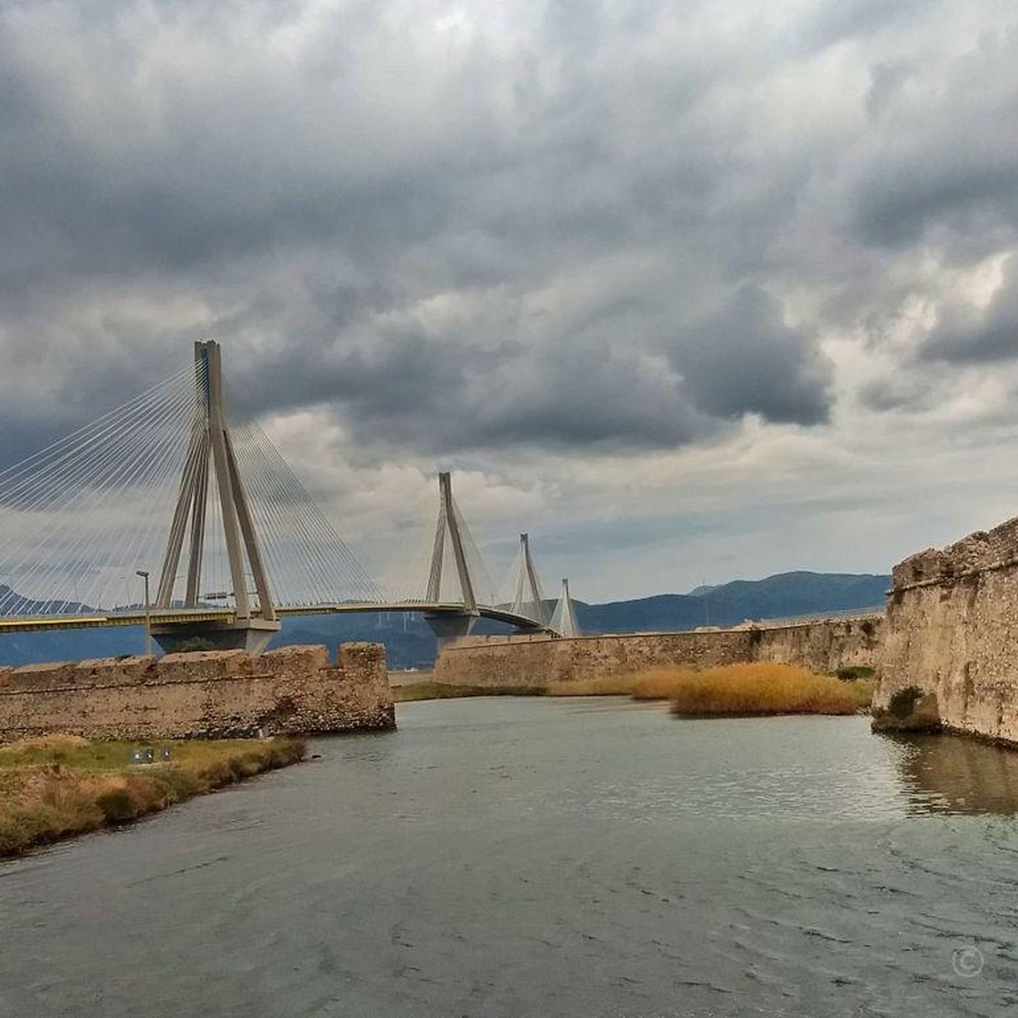
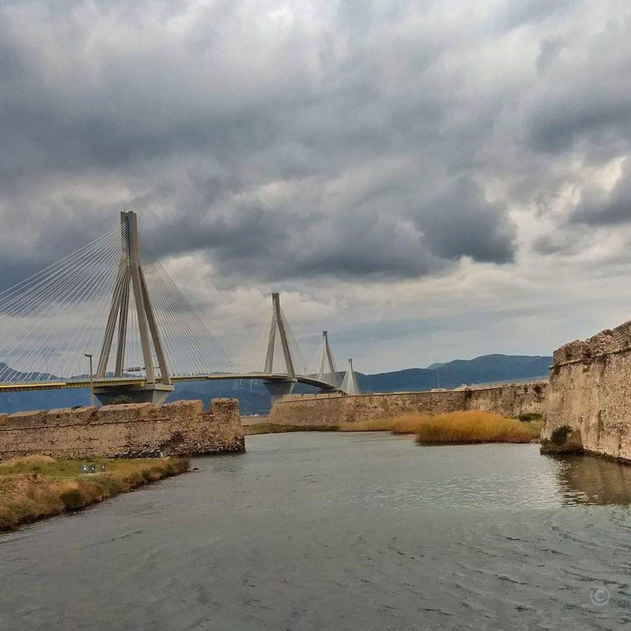
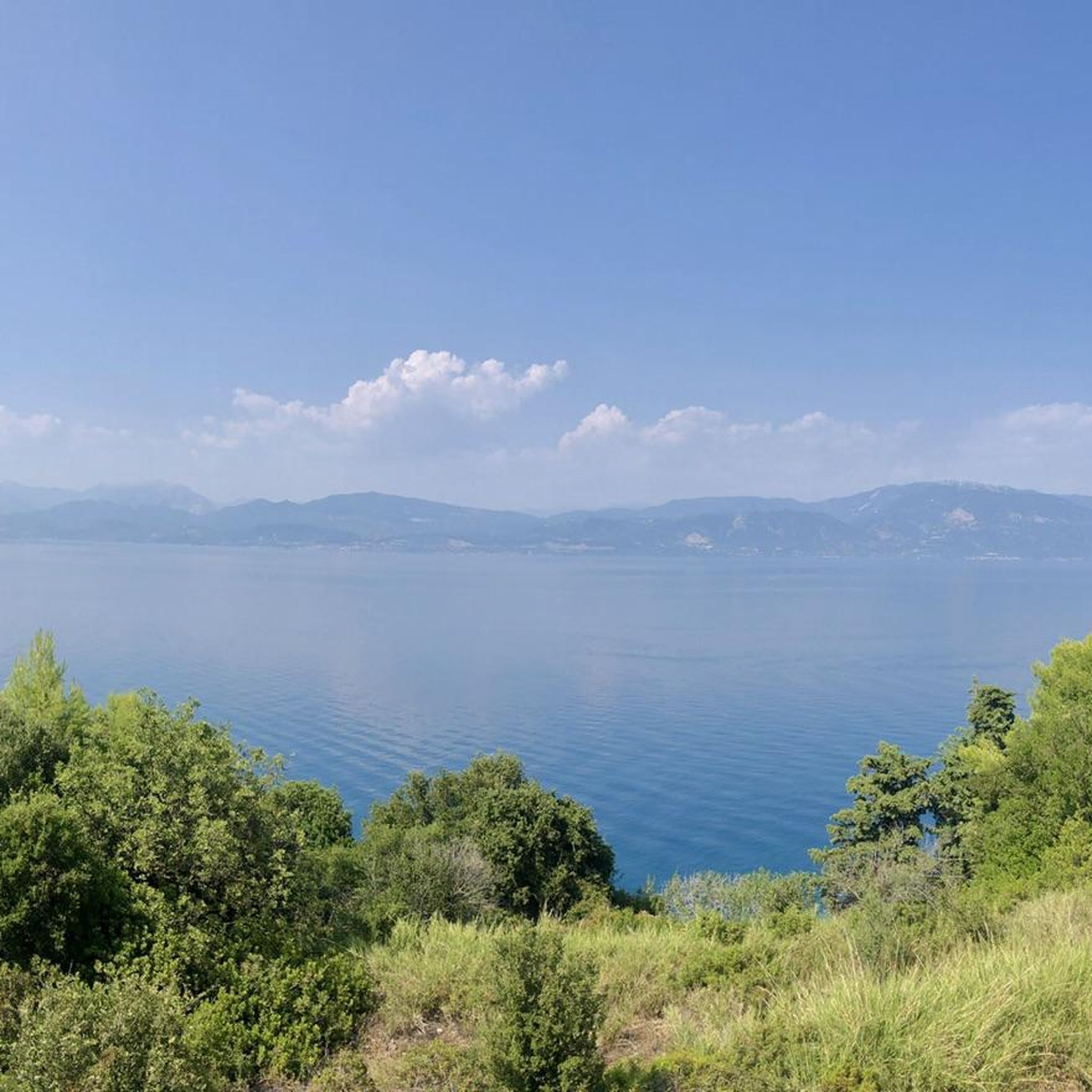
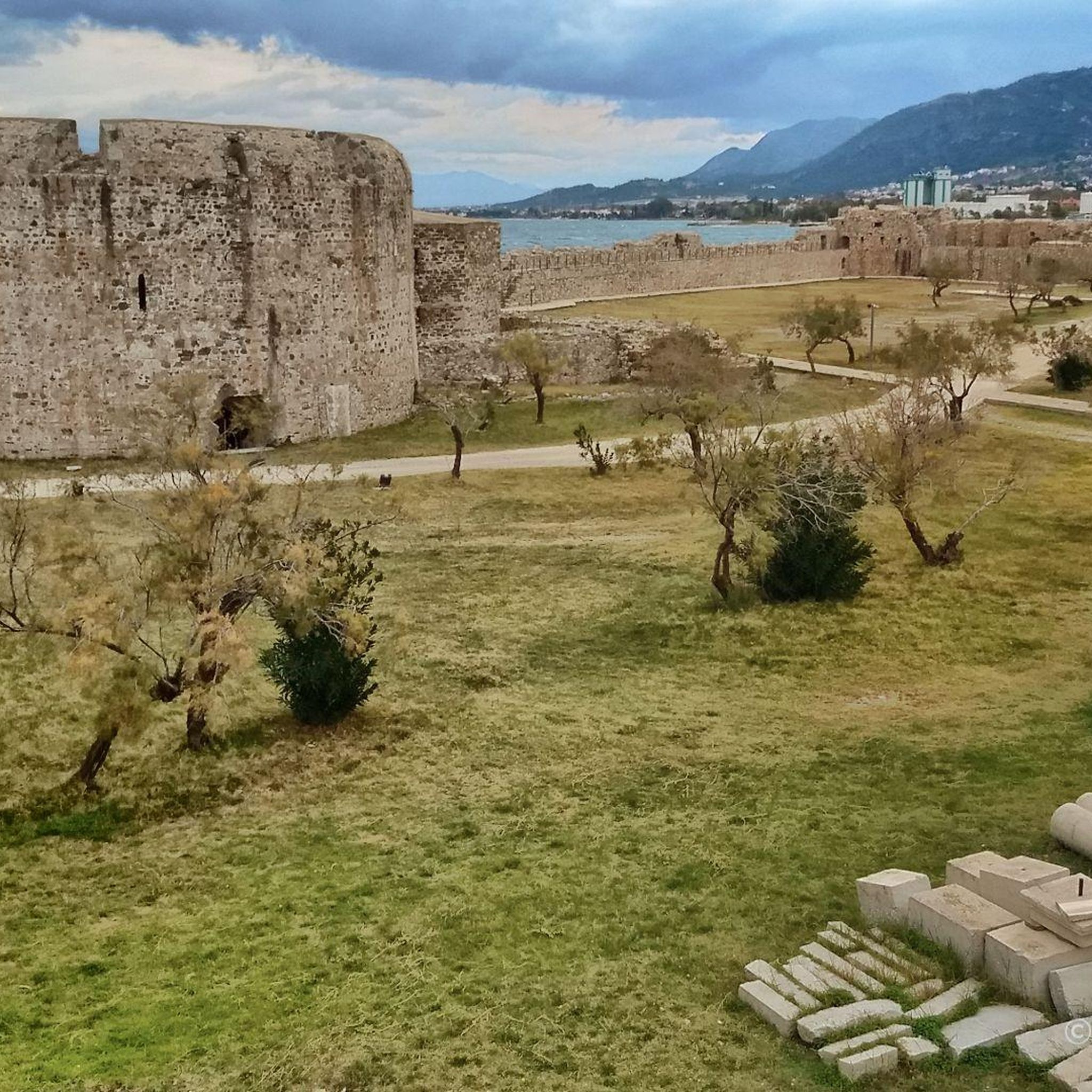
Tips from the Community

This work was created as part of the 2022 International Sculpture Symposium. The event took place in the Antheia district (near the sculpture park on the waterfront). The sculpture park is located on the Patras waterfront (Southern Park / Notio Parko). Ten international sculptors created various works of art in stone there under the theme "1922-2022: Flight - Survival - Hope" (in remembrance of the Asia Minor catastrophe).
2
0

The highest peak of Mount Panahaikos is Palavos peak at 1926m. and it is visible only from the Prasoudi shelter and not directly from Patras because it is on the back side of the mountains. However, the view from the top is really amazing..
0
0
Prasoudi Refuge - Mount Panachaikos. Just behind is the highest peak of Panahaikos - Palavos 1926m.
0
0

Currently no lighthouse at this corner, but the forest provides shaded paths along the beach, separated by the beach road.
2
0

Frequently Asked Questions
How many running routes are available in Δάσος Χειμάρρων Σελεμνού Και Χαράνδρου Αχαΐας?
The region offers a wide selection of running trails, with over 40 routes available. These range from easy paths suitable for beginners to more challenging trails for experienced runners.
What types of terrain can I expect on the jogging trails?
Joggers can expect diverse terrain, from accessible paths to routes with significant elevation gain. The trails traverse lush woodlands in the foothills of the Panachaiko mountain, providing varied scenery and gradients throughout your run.
Are there any easy running routes for beginners or casual joggers?
Yes, while many routes offer a challenge, there is at least one easy running route available. The area provides options for different ability levels, ensuring a suitable path for everyone.
Are there any circular running routes in the area?
Yes, many of the routes are designed as loops, allowing you to start and finish at the same point. An example is the difficult Ψάρθι loop from Municipal Unit of Patras, which covers 9.4 miles (15.2 km) through forested terrain.
What is the longest running route in Δάσος Χειμάρρων Σελεμνού Και Χαράνδρου Αχαΐας?
One of the longer and more challenging options is the Πύργος Ρούφου – Σανατόριο Ζάστοβας loop from Municipality of Patras. This difficult route spans approximately 13.9 miles (22.3 km) and features significant elevation changes.
What do other runners enjoy most about jogging in Δάσος Χειμάρρων Σελεμνού Και Χαράνδρου Αχαΐας?
The running routes in this region are highly rated by the komoot community, with an average score of 4.3 stars. Reviewers often praise the diverse terrain, the serene experience of running through lush woodlands, and the varied topography offered by the foothills of Panachaiko mountain.
Are there any running routes that offer extensive climbs?
For those seeking a significant challenge, the Prasoudi Refuge loop from Municipality of Patras is a difficult 13.0 miles (20.9 km) path known for its extensive climbs and varied scenery within the natural area.
Can I find routes that lead through diverse woodlands?
Absolutely. Many routes immerse you in the rich, forested environment. For example, the Sanatorium Zastovas loop from Municipality of Patras is a 12.9 miles (20.8 km) trail that leads through diverse woodlands, offering a truly engaging experience.
Are there any moderate running options available?
Yes, the majority of the routes, specifically 22 out of 42, are classified as moderate. This means there are plenty of options that offer a good balance of challenge and accessibility for intermediate runners. An example of a moderate route is the Ákra Agía loop from Καστελόκαμπος, which is about 6.7 miles (10.9 km) long.
What is the typical duration for a running route in this region?
The duration varies significantly depending on the route's length and difficulty. For instance, a difficult 9.4-mile (15.2 km) route like the Ψάρθι loop typically takes around 2 hours and 16 minutes, while longer, more challenging routes can take considerably longer.
Is the area suitable for other outdoor activities besides jogging?
Yes, the diverse landscape and network of trails make the area popular for a variety of outdoor activities beyond jogging, including hiking, walking, cycling, mountain biking, and road cycling.
Most popular routes in Δάσος Χειμάρρων Σελεμνού Και Χαράνδρου Αχαΐας

Get inspired with the komoot mobile app


Explore more
Browse the best Running Trails & Routes in other regions.
