The best walks and hikes in Bois Brûlé
4.5
(397)
2,188
hikers
153
hikes
Hiking in Bois Brûlé, a forest near Angoulême, is characterized by its extensive woodlands and gentle terrain. The region offers a network of trails suitable for various skill levels, primarily featuring forest paths and open areas. Elevation changes are generally mild, making it accessible for many hikers.
Best hiking trails in Bois Brûlé
- The most popular hiking route is Hiking Route – Burnt Wood loop from La Couronne, a 6.4 miles (10.2 km) trail that takes 2 hours 41…
Last updated: July 2, 2026
5.0
(7)
14
hikers
10.2km
02:41
90m
90m
Moderate hike. Good fitness required. Easily-accessible paths. Suitable for all skill levels.
5.0
(1)
5
hikers
8.63km
02:16
70m
70m
Moderate hike. Good fitness required. Easily-accessible paths. Suitable for all skill levels.

Sign up for free
5.0
(1)
3
hikers
7.46km
01:59
80m
80m
Easy hike. Great for any fitness level. Easily-accessible paths. Suitable for all skill levels.
5.0
(1)
3
hikers
4.50km
01:11
40m
40m
Easy hike. Great for any fitness level. Easily-accessible paths. Suitable for all skill levels.
5.0
(2)
7
hikers
8.14km
02:12
100m
100m
Moderate hike. Good fitness required. Easily-accessible paths. Suitable for all skill levels.
Get access to more routes and recommendations from other explorers.
Sign up for free
Already have an account?
Our route recommendations are based on thousands of hikes, rides, and runs completed by other people on komoot.
Start today with a free account
Your next adventure awaits.
Login or Signup


Tips from the Community

This beautiful valley is classified as a Site of European Interest due to its limestone cliffs and Mediterranean vegetation. The southern slopes are dry grassland which favors a warmer climate, while the northern slopes and valley floor are cooler and wetter. As a natural climbing site, it is known all over the world.
2
0
This beautiful valley is classified as a Site of European Interest due to its limestone cliffs and Mediterranean vegetation. The southern slopes are dry grassland which favors a warmer climate, while the northern slopes and valley floor are cooler and wetter. As a natural climbing site, it is known all over the world.
5
1

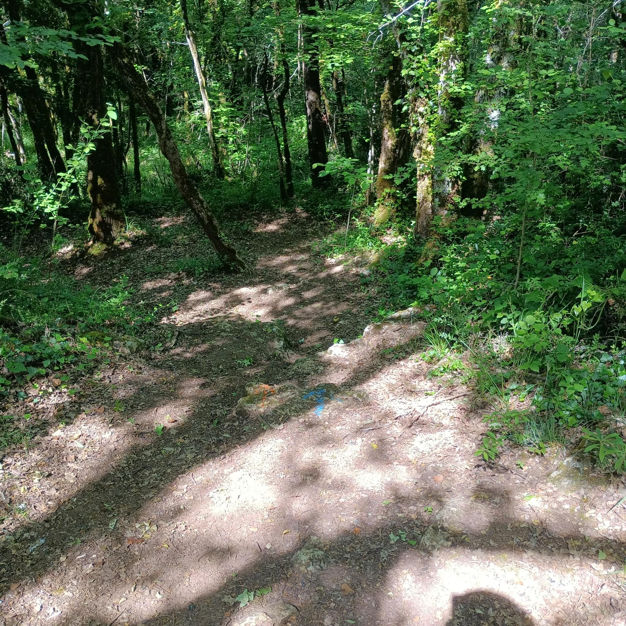
It's not an out-of-the-ordinary must-see with breathtaking landscapes, but it's one of the places to get a breath of fresh air, among the trees, near Angoulême. The map is not up to date because the trails are quite numerous. Only the main paths appear on komoot. Depending on the twists and turns, it is possible to cover around ten kilometers without leaving the woods. There are paths of all widths, often dirt, sometimes filled or with outcropping rock. Small trails are more numerous to the west, where the terrain is more rugged.
0
0
Natural valley protected by steep walls. This plot is a short version. There are many paths, some of which are not shown on Komoot, to compose your own variations. The high trails offer superb views, but require vigilance due to the risk of falling. The Moulin du Verger, below, is also worth a look.
2
2
Frequently Asked Questions
How many hiking trails are there in Bois Brûlé?
Bois Brûlé offers a wide selection of hiking routes, with over 150 trails available. These paths primarily feature extensive woodlands and open areas, suitable for various skill levels.
Are there easy hikes suitable for beginners in Bois Brûlé?
Yes, Bois Brûlé is very beginner-friendly, with over 75 easy routes. A great option is the Burnt Wood loop from La Couronne, which is 4.6 miles (7.5 km) long and takes about 2 hours to complete. Another accessible choice is the Burnt Wood loop from Mougnac, a shorter 2.8-mile (4.5 km) trail.
What is the best time of year to hike in Bois Brûlé?
The gentle terrain and extensive woodlands of Bois Brûlé make it enjoyable for hiking throughout much of the year. Spring and autumn offer pleasant temperatures and beautiful foliage, while summer provides shaded paths. Winter hiking is also possible, though conditions may vary.
Are there any circular hiking routes in Bois Brûlé?
Yes, many of the trails in Bois Brûlé are circular, allowing you to start and end at the same point. Popular loop options include the moderate Hiking Route – Burnt Wood loop from La Couronne, which is 6.4 miles (10.2 km), and the slightly shorter Burnt Wood – Hiking Route loop from La Couronne at 5.4 miles (8.6 km).
What kind of terrain can I expect on the trails in Bois Brûlé?
The trails in Bois Brûlé are characterized by dense woodlands and gentle elevation changes. You can expect to hike on forest paths and through open areas, with generally mild ascents and descents, making it accessible for a wide range of hikers.
What do other hikers enjoy most about hiking in Bois Brûlé?
The area is highly rated by the komoot community, with an average score of 4.5 stars from over 300 reviews. Hikers often praise the quiet woodlands, the varied forest paths, and the overall accessibility of the trails for different skill levels.
Are there any notable viewpoints or scenic spots in Bois Brûlé?
While Bois Brûlé is primarily known for its dense forest environment, many routes offer pleasant views of the surrounding woodland landscape. The trails themselves provide a serene natural setting, perfect for enjoying the tranquility of the forest.
Is Bois Brûlé suitable for family hikes?
Yes, with its gentle terrain and numerous easy routes, Bois Brûlé is well-suited for family hikes. The mild elevation changes and well-defined paths make it an enjoyable experience for children and adults alike.
What wildlife and flora can I expect to see in Bois Brûlé?
As an extensive woodland area, Bois Brûlé is home to typical forest flora and fauna. You can expect to see a variety of trees, plants, and potentially observe local bird species and small woodland animals in their natural habitat.
Are there any hiking options near Bois Brûlé that offer different scenery?
Yes, for a change of scenery, consider the Vallée des Eaux claires loop from Vœuil-et-Giget. This moderate 5.1-mile (8.1 km) route offers a different perspective of the local landscape, incorporating elements beyond the immediate Bois Brûlé forest.
What is the typical duration for a hike in Bois Brûlé?
Hike durations in Bois Brûlé vary depending on the chosen route and your pace. Many popular trails range from 2 to 3 hours, such as the 6.4-mile (10.2 km) Hiking Route – Burnt Wood loop from La Couronne, which typically takes around 2 hours 40 minutes.
Most popular routes in Bois Brûlé

Get inspired with the komoot mobile app


Explore more
Browse the best Hikes in other regions.
