Drumgoff Forest Recreation Area
Drumgoff Forest Recreation Area
The best road cycling routes in Drumgoff Forest Recreation Area
4.5
(10)
1,040
riders
31
rides
Road cycling in Drumgoff Forest Recreation Area offers diverse landscapes within County Wicklow, known as the "Garden of Ireland." The region features a mix of majestic hills, mountains, and river valleys, providing varied terrain for cyclists. Routes traverse coniferous woodlands and open mountain areas, with significant elevation gains possible in the Wicklow Mountains. The area's well-paved surfaces and quiet lanes make it suitable for road cycling.
Best road cycling routes in Drumgoff Forest Recreation Area
- The most popular road cycling route is Beautiful quiet road – River Ow Bridge loop from Ballinguile ED, a 22.0 miles (35.4 km) trail that takes 1 hour 43 minutes to complete, offering quiet roads and views of the River Ow.
- Another top favourite among local road cyclists is Glendalough – Glendalough Grocery loop from Glendalough, a moderate 20.5 miles (33.0 km) path that explores the scenic Glendalough area.
- Local road cyclists also love the Aughrim and Rathdrum loop from Laragh, a 34.7 miles (55.9 km) trail leading through the local countryside, often completed in about 2 hours 48 minutes.
- Road cycling in Drumgoff Forest Recreation Area is defined by the Wicklow Mountains, Glenmalure Valley, and River Ow, moving through dense forests and open heathland. The network offers options for easy, moderate, and difficult routes, catering to various fitness levels.
- The routes in Drumgoff Forest Recreation Area are highly rated by the komoot community with an average score of 4.5 stars from around 10 reviews. More than 1000 road cyclists have used komoot to explore Drumgoff Forest Recreation Area's varied terrain.
Last updated: July 25, 2026
3
riders
69.0km
03:42
1,230m
1,230m
Hard road ride. Very good fitness required. Mostly well-paved surfaces and easy to ride.
1
riders
35.4km
01:43
470m
470m
Moderate road ride. Good fitness required. Mostly well-paved surfaces and easy to ride.

Sign up for free
64
riders
33.3km
01:54
590m
600m
Moderate road ride. Good fitness required. Mostly well-paved surfaces and easy to ride.
8
riders
31.5km
01:33
370m
380m
Moderate road ride. Good fitness required. Mostly well-paved surfaces and easy to ride.
12
riders
55.9km
02:48
870m
870m
Moderate road ride. Good fitness required. Mostly well-paved surfaces and easy to ride.
Get access to more routes and recommendations from other explorers.
Sign up for free
Already have an account?
Our route recommendations are based on thousands of hikes, rides, and runs completed by other people on komoot.
Start today with a free account
Your next adventure awaits.
Login or Signup
Popular around Drumgoff Forest Recreation Area
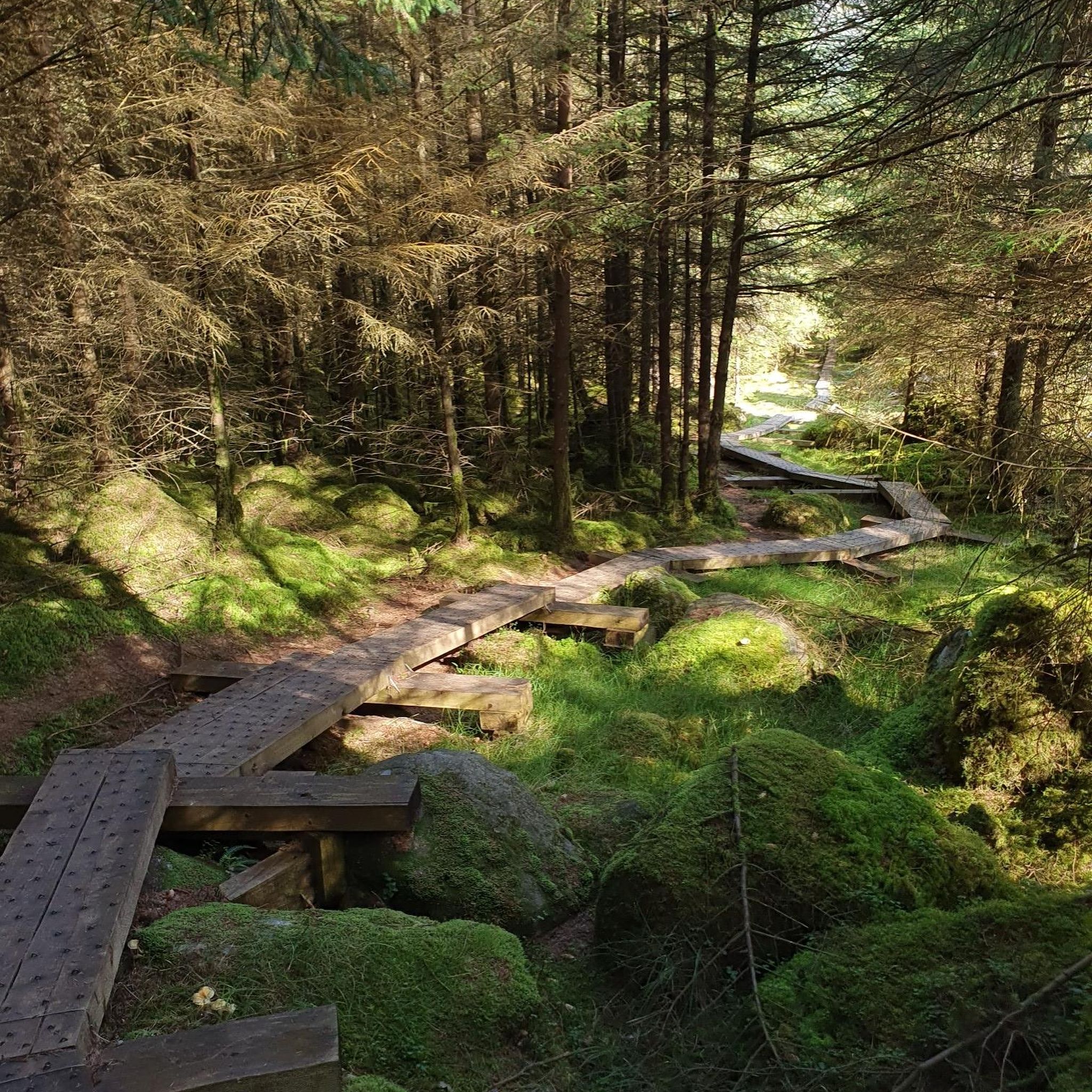
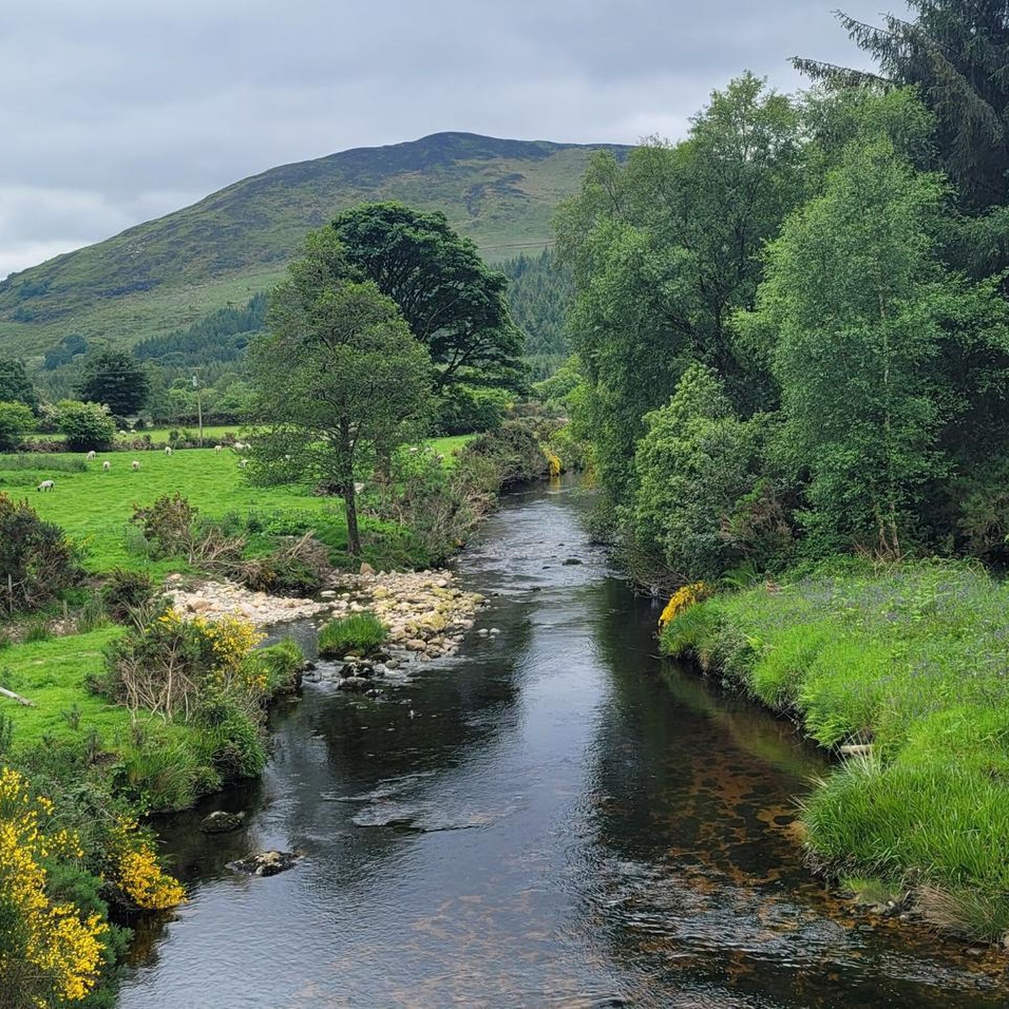
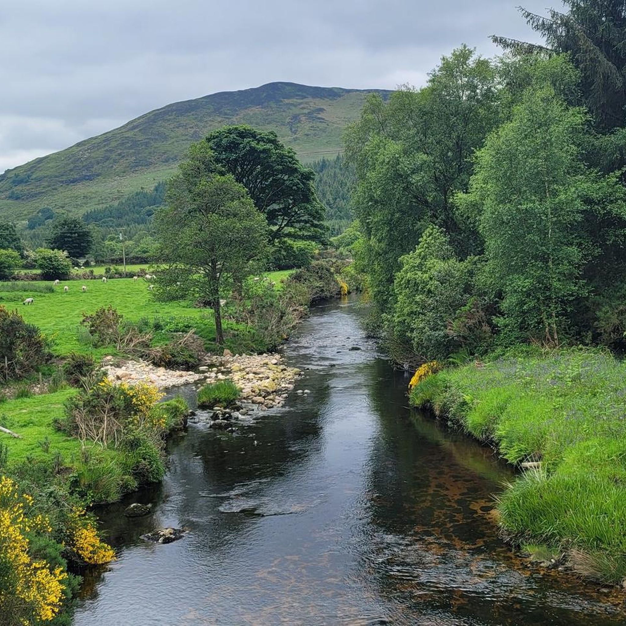
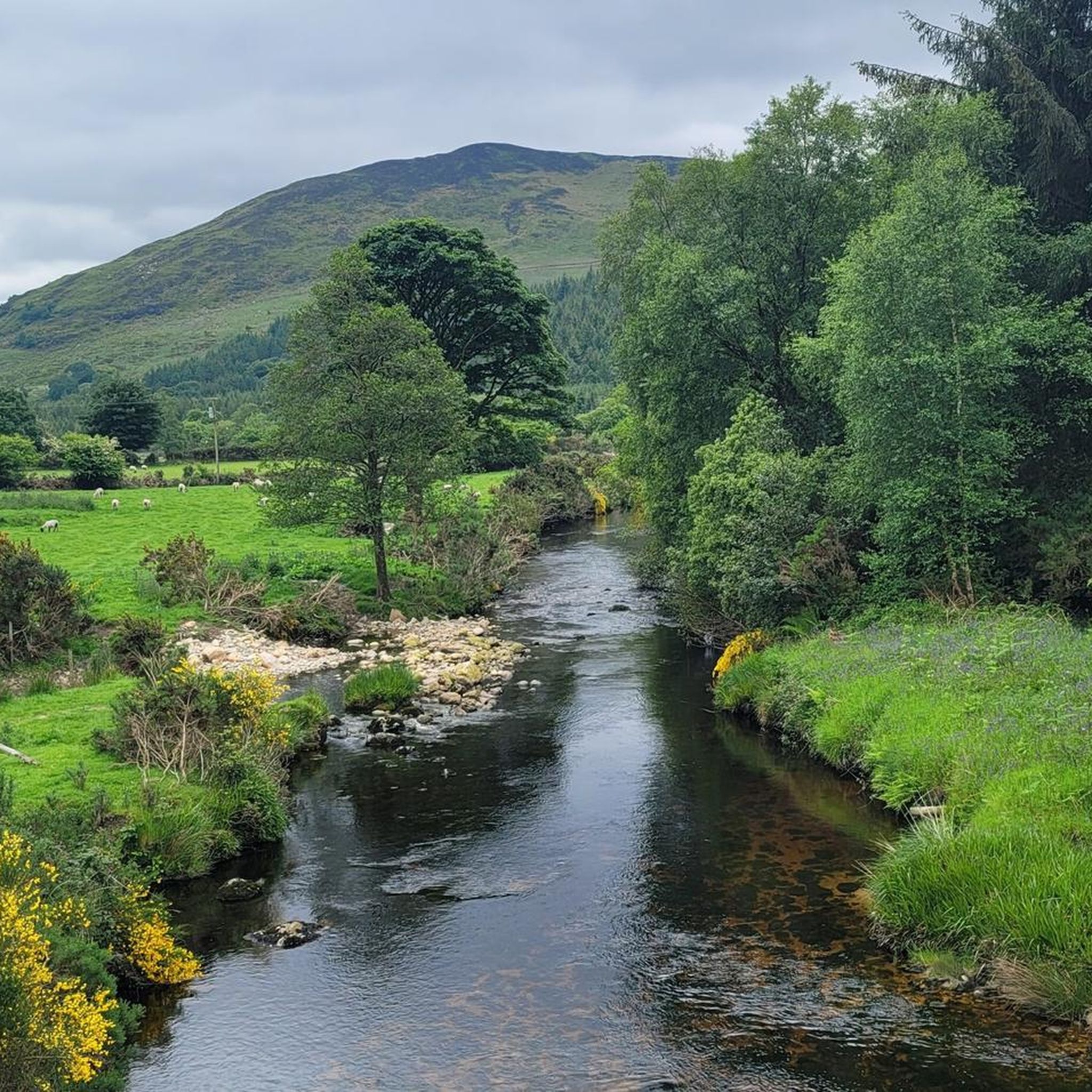
Tips from the Community

A really great old monastery complex where there is a lot to discover.
0
0

This 19th-century arch bridge over the Derry Water River is a fine example of Irish civil engineering. The construction is entirely built from local granite, with the precisely cut keystones in the arches immediately catching the eye. These arches are not only elegant but also technically designed to optimally absorb the varying water pressure of the river. The robust parapets of rough natural stone allow the structure to blend seamlessly into the landscape of Aughrim, making the bridge a characteristic monument on the border between history and nature.
9
0
Friendly service and plenty of space inside and outside.
8
0

From here you have a beautiful view over the river to the Tower.
0
0
Large area with an ancient monastery settlement, hiking trails, and 2 lakes.
0
0

End of route, perfect location to finish the hike, eat or drink something before to leave.
0
0

The Glenmalure Lodge is one of the few restaurants/pubs directly on the Wicklow Way. Good food, good beer of course.
1
0
Frequently Asked Questions
How many road cycling routes are available in Drumgoff Forest Recreation Area?
There are over 30 road cycling routes in the Drumgoff Forest Recreation Area, catering to a range of abilities. You'll find 4 easy routes, 18 moderate routes, and 11 difficult routes, offering diverse challenges across the region's varied terrain.
What kind of terrain and elevation can I expect on road cycling routes in Drumgoff Forest Recreation Area?
Road cycling in Drumgoff Forest Recreation Area offers a dynamic experience, moving from coniferous woodlands to expansive open mountains. You can expect significant elevation gains, especially in the Wicklow Mountains, with some routes involving climbs of up to 3,000 feet or more. Routes like the Sally Gap, Glencree and Enniskerry loop from Laragh feature over 1,000 meters of ascent, demanding good to very good fitness. Surfaces are generally well-paved, though some segments may be unpaved and more challenging.
Are there any family-friendly road cycling options in Drumgoff Forest Recreation Area?
While many routes in Drumgoff Forest Recreation Area feature significant elevation, there are 4 routes classified as easy, which could be more suitable for families or those seeking a gentler ride. These routes typically have less challenging climbs and cover shorter distances, allowing for a more relaxed experience amidst the beautiful scenery.
What are the best times of year for road cycling in Drumgoff Forest Recreation Area?
The Drumgoff Forest Recreation Area, part of the 'Garden of Ireland,' offers vibrant colors throughout the seasons. Spring and autumn provide pleasant temperatures and stunning scenery with blooming heather or rich foliage. Summer offers longer daylight hours, while winter can be challenging due to colder weather and potentially icy conditions, especially at higher elevations. Always check local weather forecasts before heading out.
What natural features and landmarks can I see along the road cycling routes?
Cyclists can enjoy a wealth of natural beauty and historical sites. Routes often provide views of the majestic Wicklow Mountains, including peaks like Lugnaquilla, and traverse the impressive Glenmalure Valley, Ireland's longest glacial valley. You might also encounter the picturesque River Ow. Notable attractions include the ancient monastic city of Glendalough, and various boardwalks and trails like the Wicklow Mountains Wooden Boardwalk or the Glenmalure Boardwalk, offering glimpses into the region's rich history and diverse ecosystems.
Are there any road cycling routes that feature waterfalls?
Yes, the Glenmalure Valley, which many cycling routes traverse or offer views of, is home to the impressive Glenmalure Waterfall. This waterfall is particularly spectacular after heavy rains, adding a dramatic natural feature to your ride through this scenic glacial valley.
Where can I find parking for road cycling routes in Drumgoff Forest Recreation Area?
Parking is generally available at common starting points for routes within and around Drumgoff Forest Recreation Area. For example, routes often begin from areas like Ballinguile ED, Glendalough, or Laragh, which typically have designated parking facilities. It's advisable to check specific route details on komoot for recommended starting points and parking information.
Can I reach Drumgoff Forest Recreation Area by public transport for road cycling?
While the Drumgoff Forest Recreation Area is somewhat remote, public transport options exist to nearby towns. For instance, Rathdrum is a town with public transport connections that can serve as a gateway to the area. From such towns, you might need to cycle or arrange local transport to reach specific route starting points. Planning your journey in advance is recommended.
What do other road cyclists enjoy most about road cycling in Drumgoff Forest Recreation Area?
The area is highly rated by the komoot community, with an average score of 4.5 stars from around 10 reviews. Cyclists frequently praise the quiet lanes, diverse landscapes, and the challenging yet rewarding climbs offered by the Wicklow Mountains. The scenic beauty, from dense forests to open heathland, and the well-paved surfaces are also commonly highlighted as major draws.
Are there any long-distance or challenging road cycling routes for experienced riders?
Absolutely. For experienced riders seeking a challenge, the Drumgoff Forest Recreation Area offers several difficult routes. The Sally Gap, Glencree and Enniskerry loop from Laragh is a prime example, covering over 73 km with significant elevation gain. Another option is the Aughrim and Rathdrum loop from Laragh, a 55.9 km route that leads through varied countryside and presents a good test of endurance.
Are there any cafes or places to stop for refreshments along the road cycling routes?
While Drumgoff Forest Recreation Area itself is primarily natural, routes often pass through or near charming villages and towns where you can find cafes, pubs, and other amenities. For instance, the Glendalough – Glendalough Grocery loop from Glendalough explores the scenic Glendalough area, which is a popular tourist spot with options for refreshments. Similarly, towns like Aughrim and Rathdrum, featured in routes like the Aughrim and Rathdrum loop from Laragh, offer places to refuel.
Can I find circular road cycling routes in Drumgoff Forest Recreation Area?
Yes, many of the road cycling routes in Drumgoff Forest Recreation Area are designed as loops, allowing you to start and finish at the same point. Examples include the popular Beautiful quiet road – River Ow Bridge loop from Ballinguile ED, which offers quiet roads and views of the River Ow, and the Stunning views of the River Ow loop from Aughrim. These circular routes are convenient for exploration without needing to retrace your path.
Most popular routes in Drumgoff Forest Recreation Area
Most popular attractions in Drumgoff Forest Recreation Area

Get inspired with the komoot mobile app


Explore more
Browse the best Road cycling routes in other regions.
