The best walks and hikes around Woolshears Wood
4.7
(66)
536
hikers
19
hikes
Hikes around Woolshears Wood explore the scenic landscape of the Scottish Borders near West Linton. The area is characterized by rolling hills, mixed woodland, and river valleys such as the one carved by the Lyne Water. Many walking trails follow historic Roman roads and drove roads, offering varied terrain across the region.
Best hiking trails around Woolshears Wood
- The most popular hiking route is Trahenna Hill & Broughton Heights loop from Broughton Palace, a 7.3 mile (11.7 km) trail…
Last updated: July 8, 2026
4.4
(5)
24
hikers
11.7km
04:24
450m
440m
Moderate hike. Good fitness required. Mostly accessible paths. Sure-footedness required.
5.0
(2)
18
hikers
14.6km
04:10
270m
270m
Moderate hike. Good fitness required. Easily-accessible paths. Suitable for all skill levels.

Sign up for free
5.0
(1)
10
hikers
5.24km
02:12
270m
270m
Moderate hike. Good fitness required. Mostly accessible paths. Sure-footedness required.
7
hikers
Moderate hike. Good fitness required. Mostly accessible paths. Sure-footedness required.
4.0
(1)
3
hikers
7.46km
03:03
380m
380m
Moderate hike. Good fitness required. Mostly accessible paths. Sure-footedness required.
Get access to more routes and recommendations from other explorers.
Sign up for free
Already have an account?
Our route recommendations are based on thousands of hikes, rides, and runs completed by other people on komoot.
Start today with a free account
Your next adventure awaits.
Login or Signup
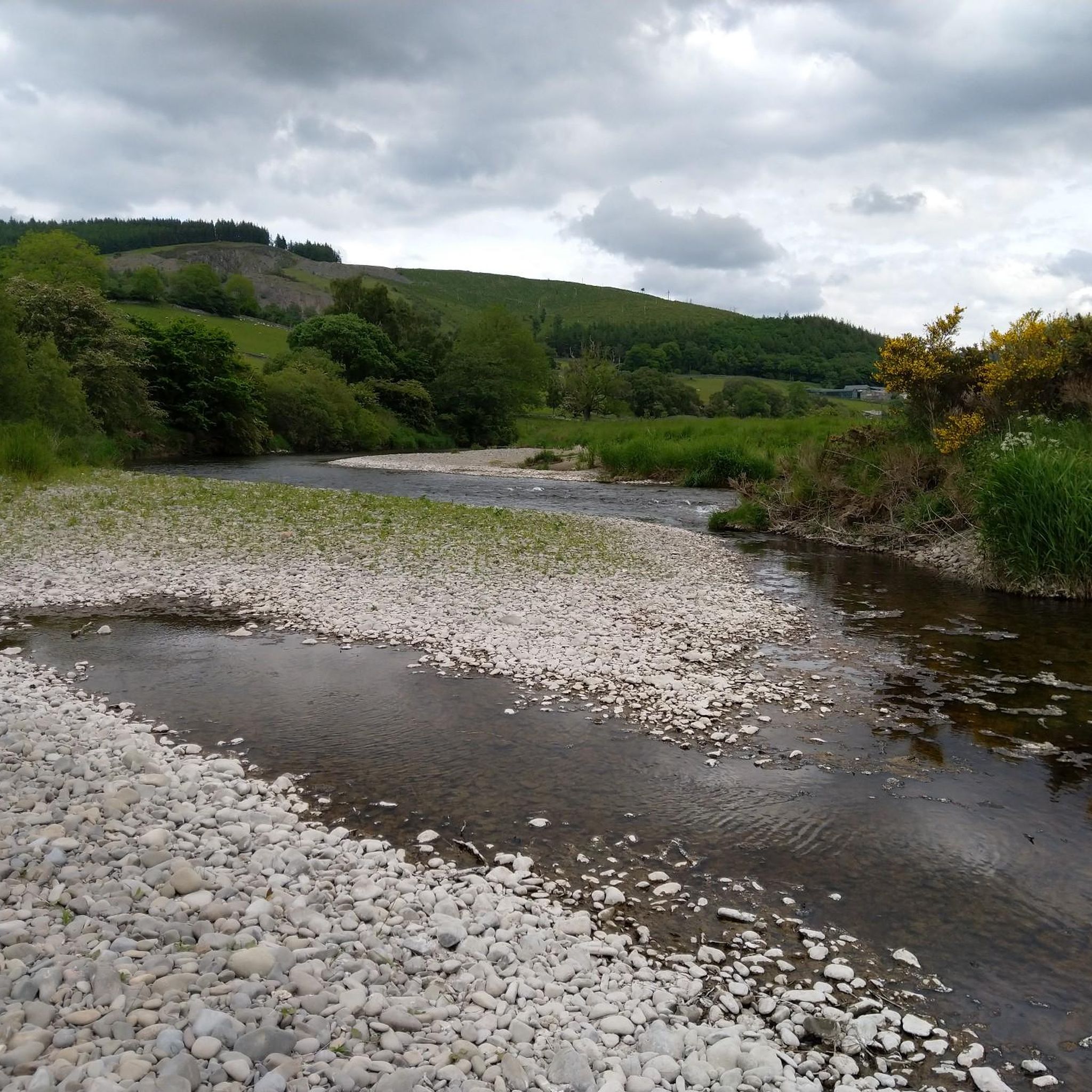
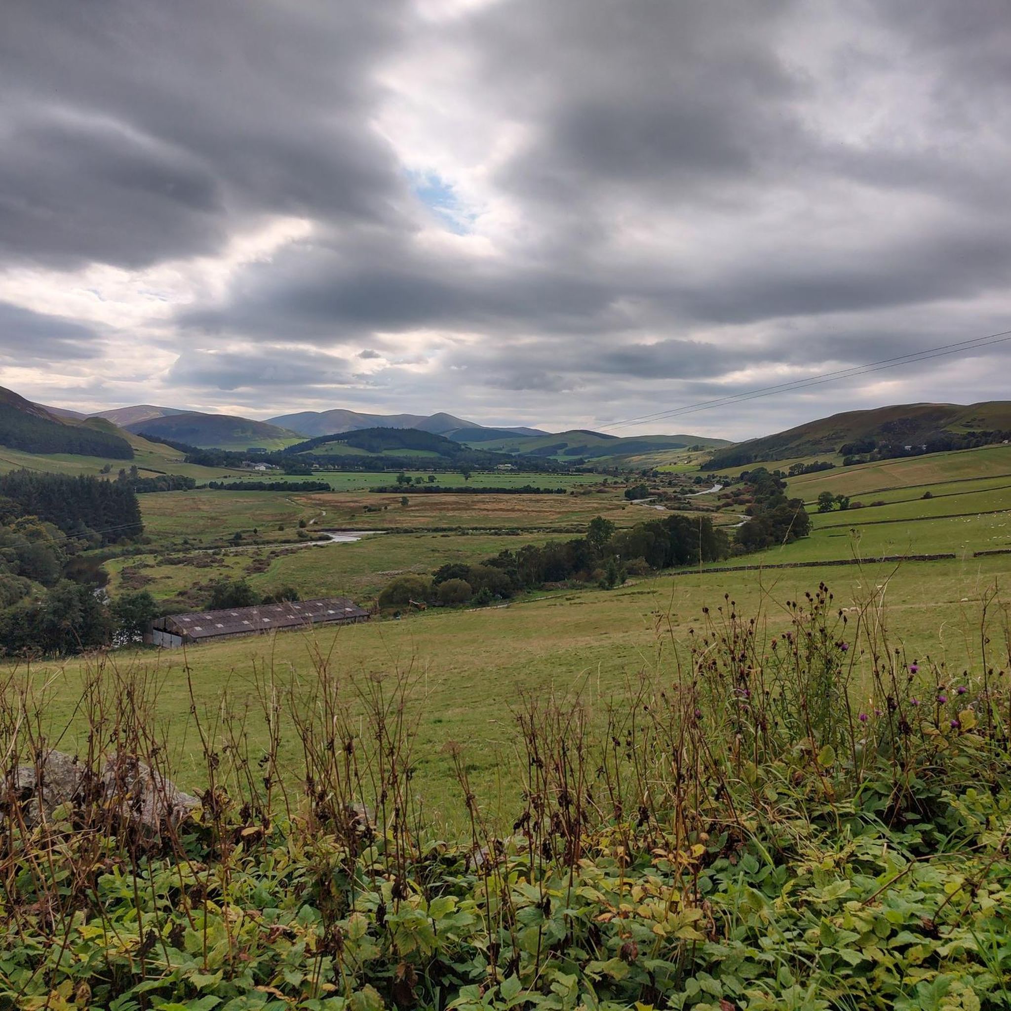
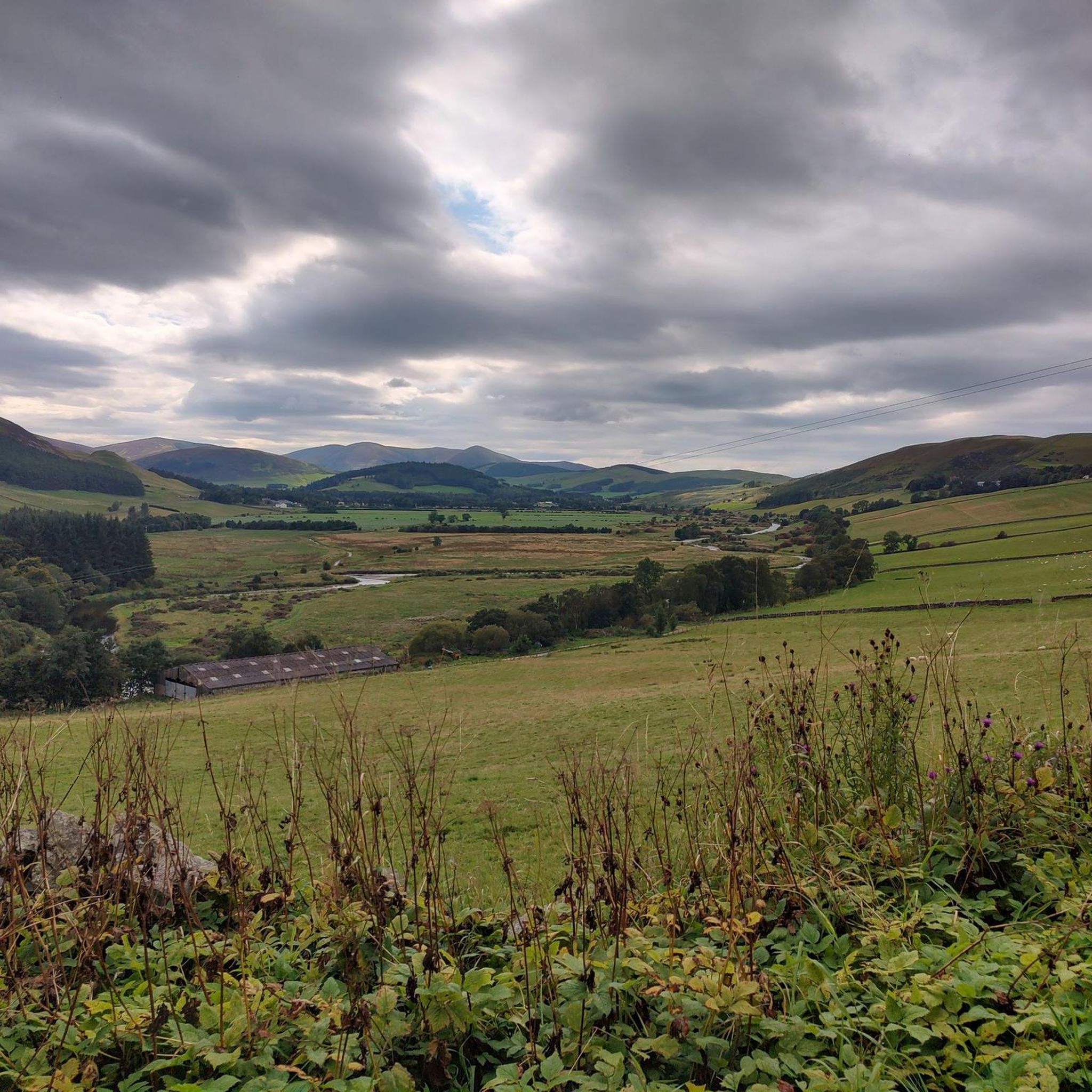
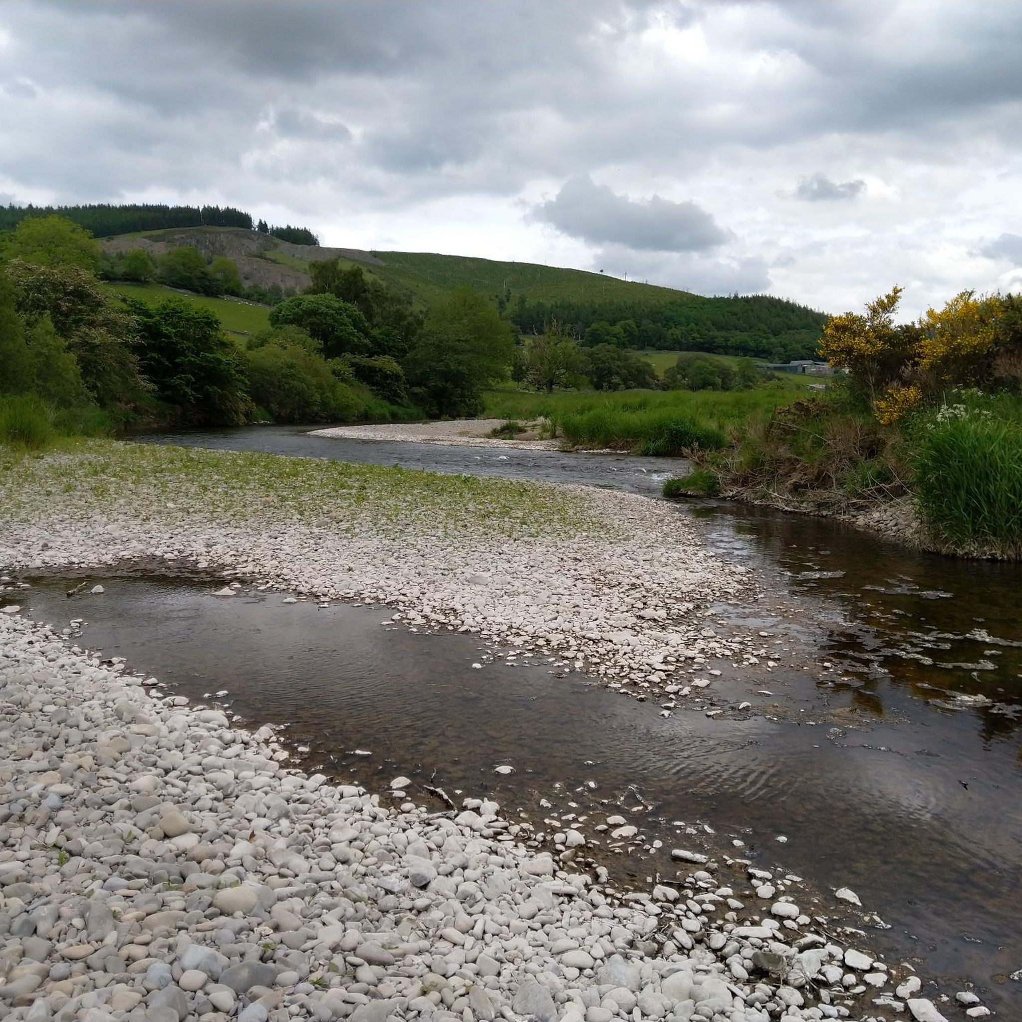
Tips from the Community

I guessed that these new gravel roads might be a potential wind farm site, but it didnt seem big enough for such. There is a derelict farm building at the end of the gravel road
0
0
Hard grind again. Takes effort and dedication to get through these sections
0
0

Broughton Heights is the highest of the fine range of hills lying to the east of the village. With grassy ridges and steep heathery slopes, the hills give some superb views. This route takes in Broughton Heights itself before returning over Hammer Head to take in Trahenna Hill.
0
0
Broughton Place is a historic house in the village of Broughton, Scottish Borders. It was designed by Basil Spence in the style of a 17th-century Scottish Baronial tower house.
1
0
Trahenna Hill (549 m) is an extensive hill to the east of Broughton. Its finest feature is its northern ridge, Hammer Head. With grassy ridges and steep heathery slopes, the hills give some superb views.
1
0

Although this looks like a castle it was built from scratch in the 1930's. Designed to look like a 17th-century Scottish Baronial tower house. It was a private house until it was converted into flats in the 1970's. It's still a private residence but looks very interesting and is worth a walk past.
0
0
At 549m this wide grassy hill stands between Peebles & Biggar. The walk from here along the ridge to Hammer Head is great.
0
0
At 571m with a trig point and great views this is also known as Pyked Stane Hill Broughton Heights is the highest point in this range of hills.
0
0
Frequently Asked Questions
Where can I park to go hiking around Woolshears Wood?
Parking options vary depending on your chosen trailhead. For walks starting near West Linton, you can often find on-street parking in the village. For routes beginning in villages like Broughton or Dolphinton, there are usually small parking areas or roadside spots available. Always park considerately, ensuring you do not block access for local residents or farm traffic.
Are there any circular walks in the Woolshears Wood area?
Yes, the region has several excellent circular routes. For a challenging loop with rewarding views, consider the Trahenna Hill & Broughton Heights loop from Broughton Palace. This trail covers about 7.3 miles (11.7 km) and takes you over two prominent local summits.
Can I get to the Woolshears Wood trails using public transport?
The area is best accessed by car, as public transport options are limited in this rural part of the Scottish Borders. Bus services may run to nearby villages like West Linton, but they can be infrequent. From there, you would need to walk to the trailheads, which can add significant distance to your hike. It's recommended to check local bus schedules in advance.
Are the hiking trails around Woolshears Wood suitable for families with children?
While many routes in the area involve significant hill climbs, there are gentler options suitable for a family outing. Look for shorter walks along the Lyne Water or through the lower sections of woodland. The Hiking loop from Broughton is a shorter option at 3.3 miles (5.2 km) that explores the surrounding hills without being overly strenuous.
Can I bring my dog on the trails?
Dogs are generally welcome on the trails, but the area includes farmland with livestock. You must keep your dog on a lead and under close control, especially during lambing season (typically spring). Always be prepared to clean up after your pet to keep the countryside beautiful for everyone.
What is the 'Catwalk' path I've heard about?
The 'Catwalk' is a well-known local footpath that runs along a narrow ledge on the side of a gorge carved by the Lyne Water. It's a thrilling and scenic section of a walk, but it requires sure-footedness and a head for heights. It is not recommended in wet or icy conditions.
What kind of scenery and natural features can I expect to see?
The landscape is classic Scottish Borders, defined by rolling green hills, mixed woodlands, and picturesque river valleys. Many paths follow historic drove roads or old Roman roads. Key features include the steep-sided valley of the Lyne Water and the expansive views from summits like Mendick Hill and Broughton Heights.
Are there any pubs or cafes near the walking routes?
After your hike, you can find pubs and cafes in the nearby villages. West Linton and Broughton are the main local hubs where you can find a place to relax and get refreshments. It's always a good idea to check opening times, especially if you're hiking on a weekday or outside of the main tourist season.
What is the history of the area?
The region is rich in history. Woolshears Wood itself is associated with the historic Castle Craig estate. Many of the walking routes follow ancient paths, including Roman roads that once connected garrisons and old drove roads used for moving livestock. Hiking here offers a chance to walk through centuries of Scottish history.
How difficult are the hikes around Woolshears Wood?
The trails offer a range of difficulties, but most are rated as moderate. This typically means they involve some significant elevation gain, uneven terrain, and require a good level of fitness. For a moderate challenge, the Mendick Hill Summit loop from Dolphinton is a great example, covering 9.1 miles (14.6 km) with a steady climb to the summit.
What do other hikers think of the trails around Woolshears Wood?
The area is highly regarded by the komoot community, with an average rating of 4.6 stars. Hikers often praise the stunning views from the hilltops, the variety of terrain from woodland to open moorland, and the sense of tranquility on the less-trafficked paths.
How many hiking trails are there to choose from?
There are over 20 designated hiking routes to explore around Woolshears Wood on komoot. These range from short, easy loops to more demanding all-day hill walks, providing plenty of options for different fitness levels and time commitments.
Most popular routes around Woolshears Wood

Get inspired with the komoot mobile app


Explore more
Browse the best Hikes in other regions.
