The best walks and hikes around Penningham Forest
4.6
(261)
1,699
hikers
64
hikes
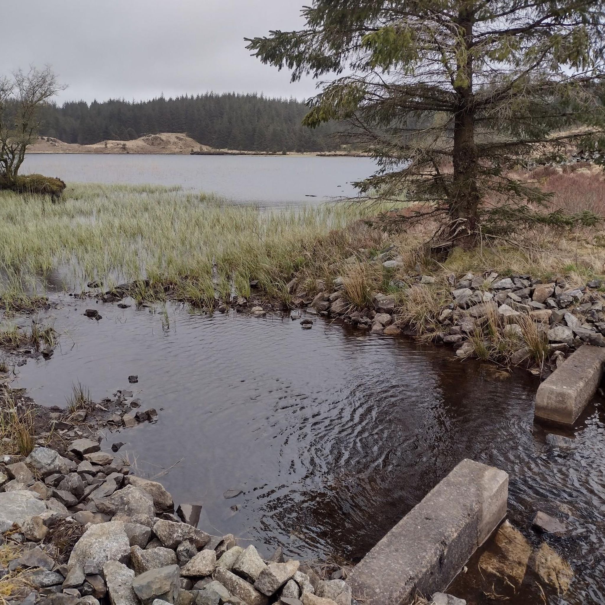
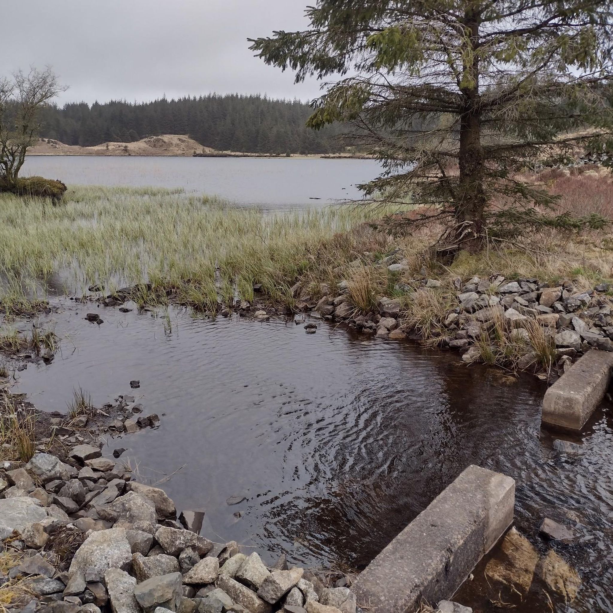
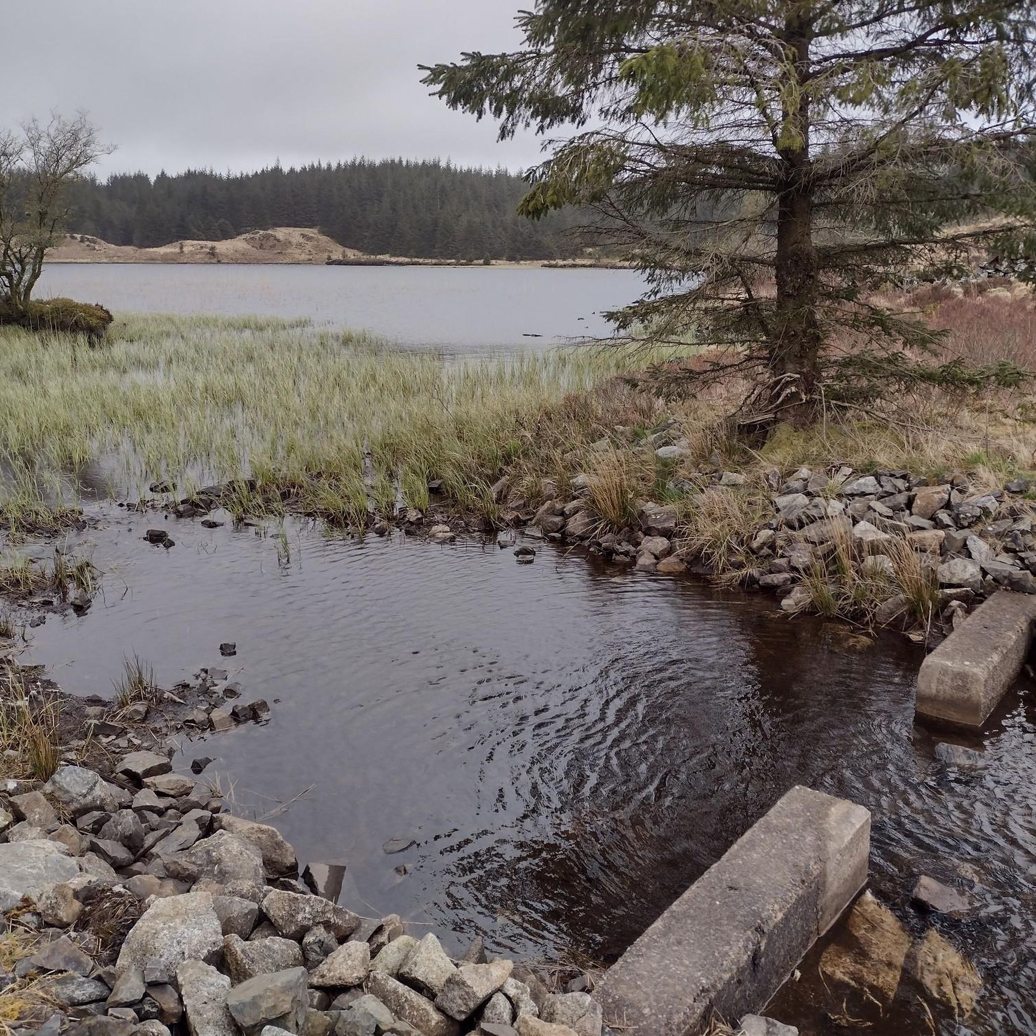
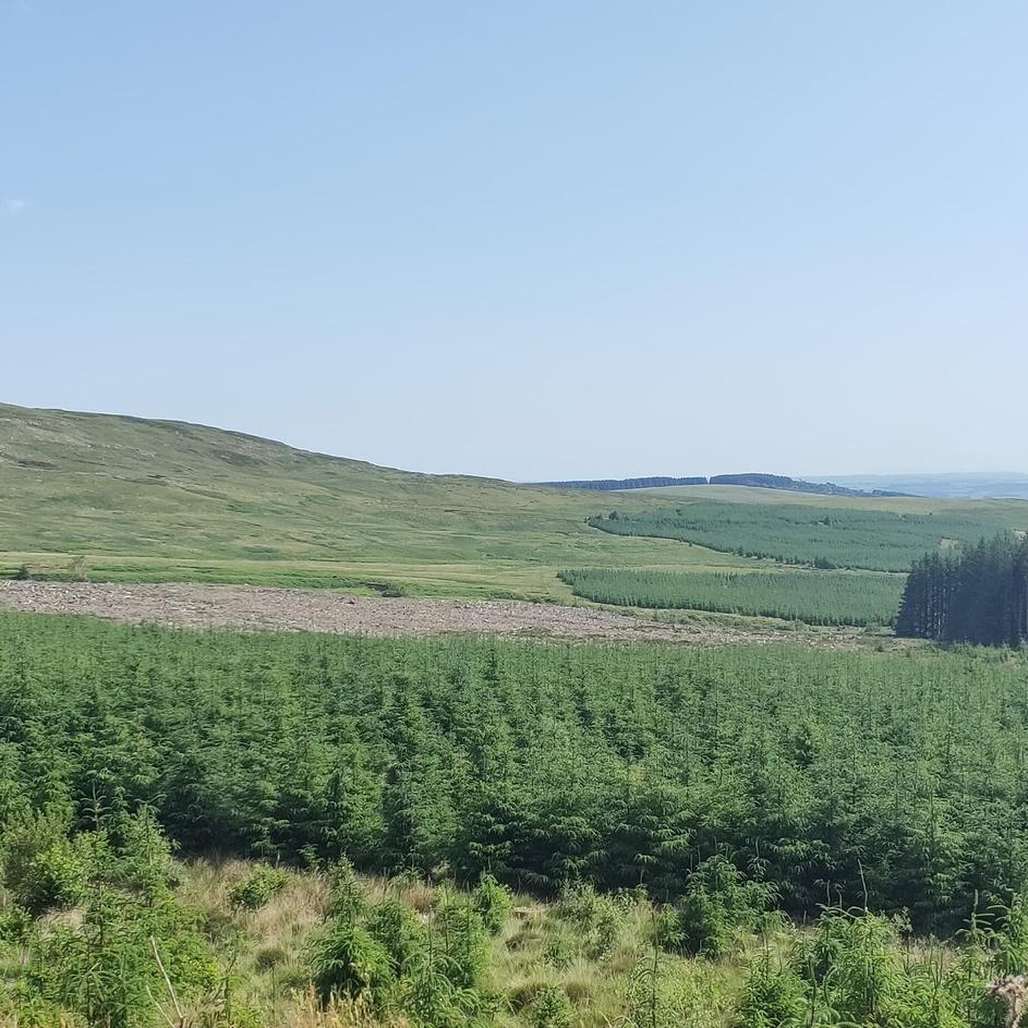
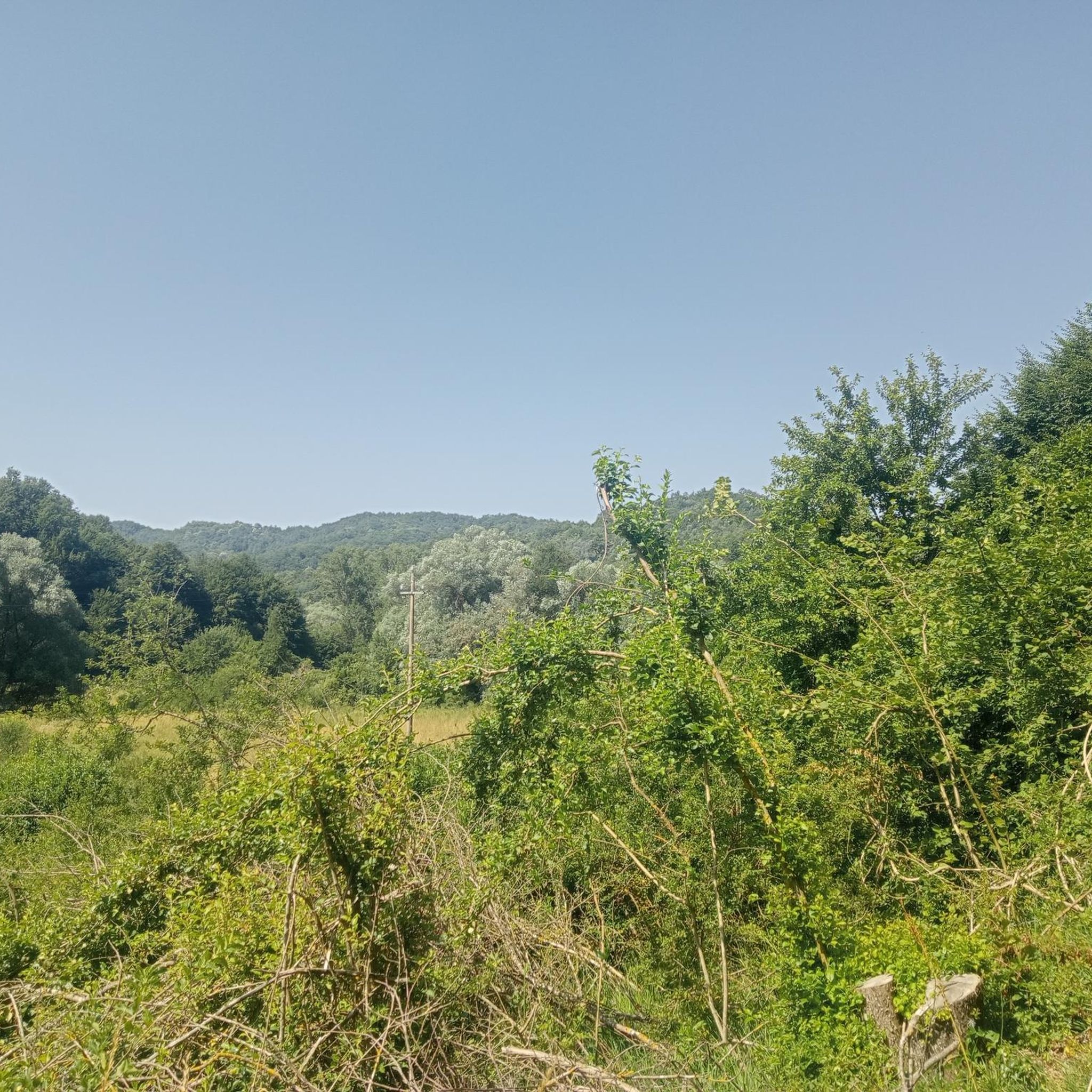
Hikes around Penningham Forest explore a landscape of tranquil woodlands, gentle slopes, and drumlins near Newton Stewart in Dumfries and Galloway. The region is characterized by a mix of managed forest, deep peats, and several lochs, with the River Cree bordering the area to the west. The terrain offers a network of paths suitable for a variety of walking abilities, from gentle circuits to more extensive forest routes.
Best hiking trails around Penningham Forest
- The most popular hiking route is…
Last updated: October 12, 2026
4.7
(17)
117
hikers
3.63km
01:04
100m
100m
Easy hike. Great for any fitness level. Easily-accessible paths. Suitable for all skill levels.
4.5
(4)
28
hikers
9.08km
02:33
180m
180m
Moderate hike. Good fitness required. Easily-accessible paths. Suitable for all skill levels.

6
hikers
3.86km
01:06
90m
90m
Easy hike. Great for any fitness level. Easily-accessible paths. Suitable for all skill levels.
4.5
(4)
13
hikers
2.00km
00:36
70m
70m
Easy hike. Great for any fitness level. Easily-accessible paths. Suitable for all skill levels.
4.4
(5)
43
hikers
Moderate hike. Good fitness required. Easily-accessible paths. Suitable for all skill levels.
Get access to more routes and recommendations from other explorers.
Already have an account?
Our route recommendations are based on thousands of hikes, rides, and runs completed by other people on komoot.
Start today with a free account
Your next adventure awaits.
Tips from the Community

No longer bike friendly. The employee made it absolutely clear that e-bikes can not be charged here. I guess there insurance won’t allow it. 🤬 However, if you need a charge and a bite to eat try the Barr community shop and cafe. They are very nice and welcoming and the prices and food are better. Such a disappointment. 🙁
0
1


Is well signposted
0
0
On the other side of the bridge begins a deep gorge
0
0
There are hot dishes, soups and homemade cakes. Of course also souvenirs
0
0
There are food and drinks, even small souvenirs
0
1
Frequently Asked Questions
Are dogs allowed on the trails in Penningham Forest?
Yes, Penningham Forest and the wider Galloway Forest Park are generally very dog-friendly. The paths are well-suited for walking with dogs, but it's always best to keep them under control, especially with the presence of local wildlife like deer and ground-nesting birds. Many visitors enjoy the trails with their dogs, often off-leash where it is safe and permitted.
Are there any easy, family-friendly walks in the area?
Absolutely. The area around Penningham Pond offers a gentle and accessible circular path that is perfect for families and walkers of all abilities. This ¾-mile (1.2 km) trail is largely flat with a firm gravel surface. For another easy option, consider the Hiking loop from Minnigaff, which is a pleasant 2.4-mile (3.9 km) walk.
What kind of wildlife might I see while hiking?
Penningham Forest is rich in wildlife. While hiking, you might be lucky enough to spot red deer, pine martens, otters, and foxes. The area is also excellent for birdwatching, with chances to see rare raptors like red kites and peregrine falcons. The tranquil woodlands and lochs provide diverse habitats for these species.
Is there parking available at the trailheads?
Yes, there is parking available for visitors. The main car park for Penningham Pond is located just off the A714, providing convenient access to the main circular trail. For trails in the wider Galloway Forest Park, centers like Kirroughtree also offer ample parking facilities.
Are there any circular walks available?
Yes, the region is great for circular hikes. A popular moderate option is the Woods of Cree Waterfalls – Loch Middle loop from Minnigaff. This 5.6-mile (9.0 km) route combines a visit to the waterfalls with a scenic loop around Loch Middle, offering a varied and rewarding experience.
Can I get to Penningham Forest using public transport?
Accessing Penningham Forest directly by public transport can be challenging. The nearest town is Newton Stewart, which has bus connections. From there, it's a short taxi ride or a longer walk to the main forest entrance. It's best to check local bus schedules in advance to plan your journey.
What do other hikers enjoy most about Penningham Forest?
The area is highly rated by the komoot community, with an average score of 4.6 stars. Hikers often praise the tranquil and beautiful scenery, particularly the peaceful atmosphere of the woodlands and the reflections on Penningham Pond. The well-maintained and accessible paths are also frequently mentioned as a major highlight.
Are there any waterfalls to see on the hikes?
Yes, there are several routes that feature waterfalls. The Woods of Cree Waterfalls loop from Minnigaff is an easy 2.2-mile (3.5 km) trail that takes you directly through the woods to see the cascades. For a longer hike that includes waterfalls, you could explore the trails around Glentrool.
How many hiking trails are there around Penningham Forest?
There are over 60 designated hiking routes to explore in and around Penningham Forest on komoot. These range from very easy, short strolls to more challenging, longer hikes, ensuring there's a trail for every fitness level. The network includes 41 easy and 19 moderate routes.
Are there any longer or more challenging hikes in the region?
Yes, for those seeking a more strenuous hike, the area serves as a gateway to longer trails in the Galloway Forest Park. The Water of Trool – Water of Trool loop from Bargrennan is a great example, offering a moderate 10.8-mile (17.3 km) route. The long-distance Southern Upland Way also passes nearby for a multi-day adventure.
Are there any visitor facilities like cafes or toilets?
While Penningham Forest itself is a natural woodland area without dedicated facilities, the nearby Kirroughtree Visitor Centre, a gateway to Galloway Forest Park, has a café, shop, toilets, and bike hire. It's a great place to start or end your day of exploration.
What is the terrain like on the trails?
The terrain is quite varied. You'll find everything from firm, wide gravel paths like the one around Penningham Pond to narrower woodland trails with some moderate slopes. The landscape is a mix of low-lying forest, gentle hills known as drumlins, and areas of deep peat, with several lochs and burns throughout.
Most popular routes around Penningham Forest

Get inspired with the komoot mobile app


Explore more
Browse the best Hikes in other regions.
