The best running trails around Kirkhouse Forest
4.6
(12)
902
runners
61
runs
Jogging around Kirkhouse Forest offers a diverse range of terrain, from smooth gravel paths to more technical dirt and grass trails. The region features extensive forest scenery, with routes winding through spruce and larch trees. Elevation gains provide opportunities for hill training, making it suitable for various running preferences. This area is characterized by its peaceful, natural environment, offering a stimulating experience for runners.
Best jogging routes around Kirkhouse Forest
- The most popular jogging route is View of Broomy Law…
Last updated: July 9, 2026
11
runners
23.0km
02:59
740m
740m
Hard run. Very good fitness required. Mostly paved surfaces. Suitable for all skill levels.
21
runners
Hard run. Very good fitness required. Mostly paved surfaces. Suitable for all skill levels.

Sign up for free
5.0
(1)
14
runners
Hard run. Very good fitness required. Mostly paved surfaces. Suitable for all skill levels.
5.0
(1)
42
runners
12.8km
01:38
350m
350m
Hard run. Very good fitness required. Mostly paved surfaces. Suitable for all skill levels.
31
runners
8.30km
00:52
50m
50m
Moderate run. Good fitness required. Mostly paved surfaces. Suitable for all skill levels.
Get access to more routes and recommendations from other explorers.
Sign up for free
Already have an account?
Our route recommendations are based on thousands of hikes, rides, and runs completed by other people on komoot.
Start today with a free account
Your next adventure awaits.
Login or Signup
Tips from the Community

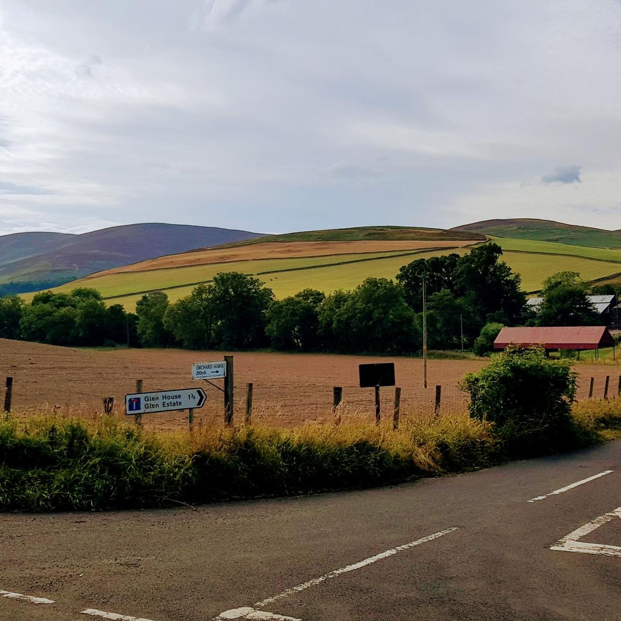
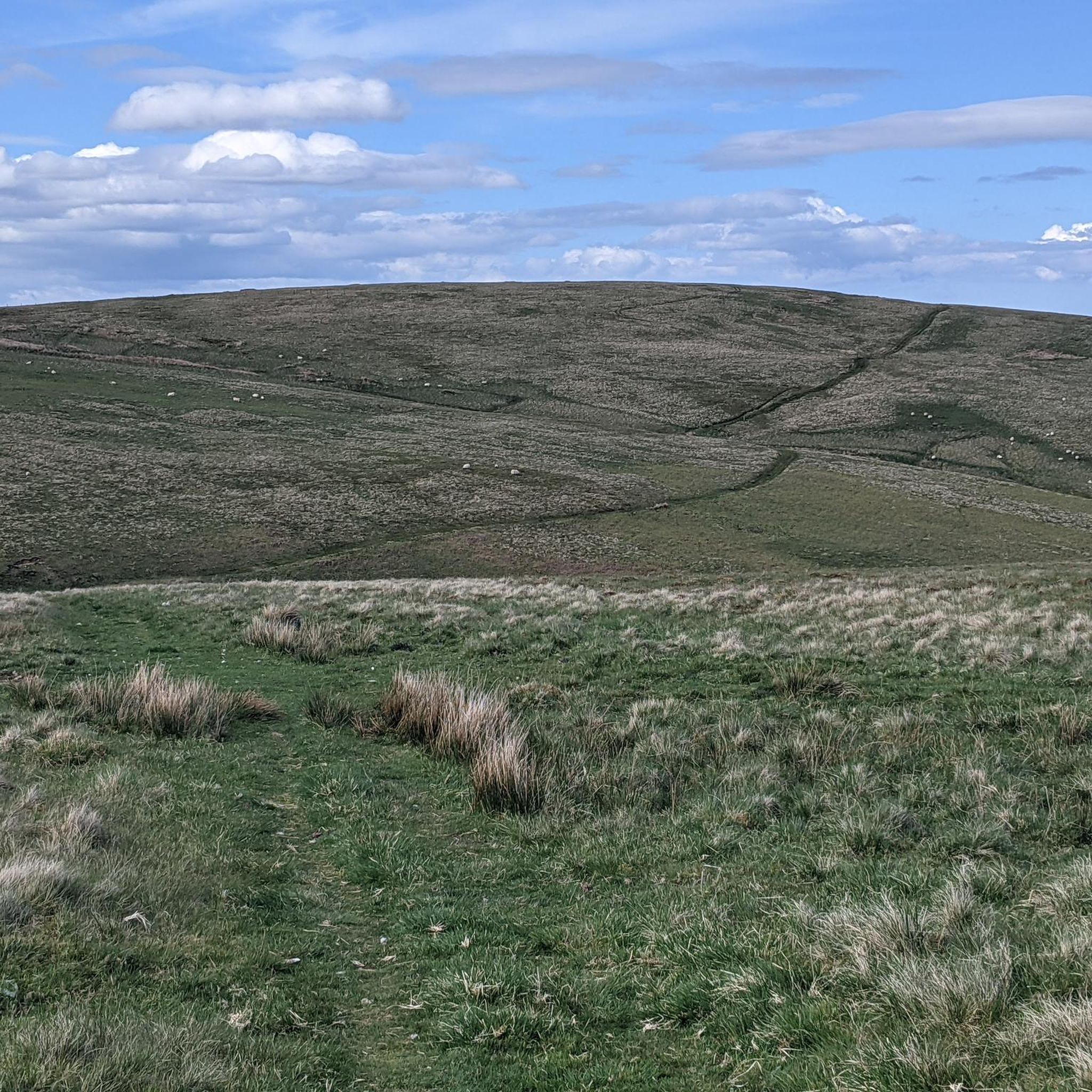
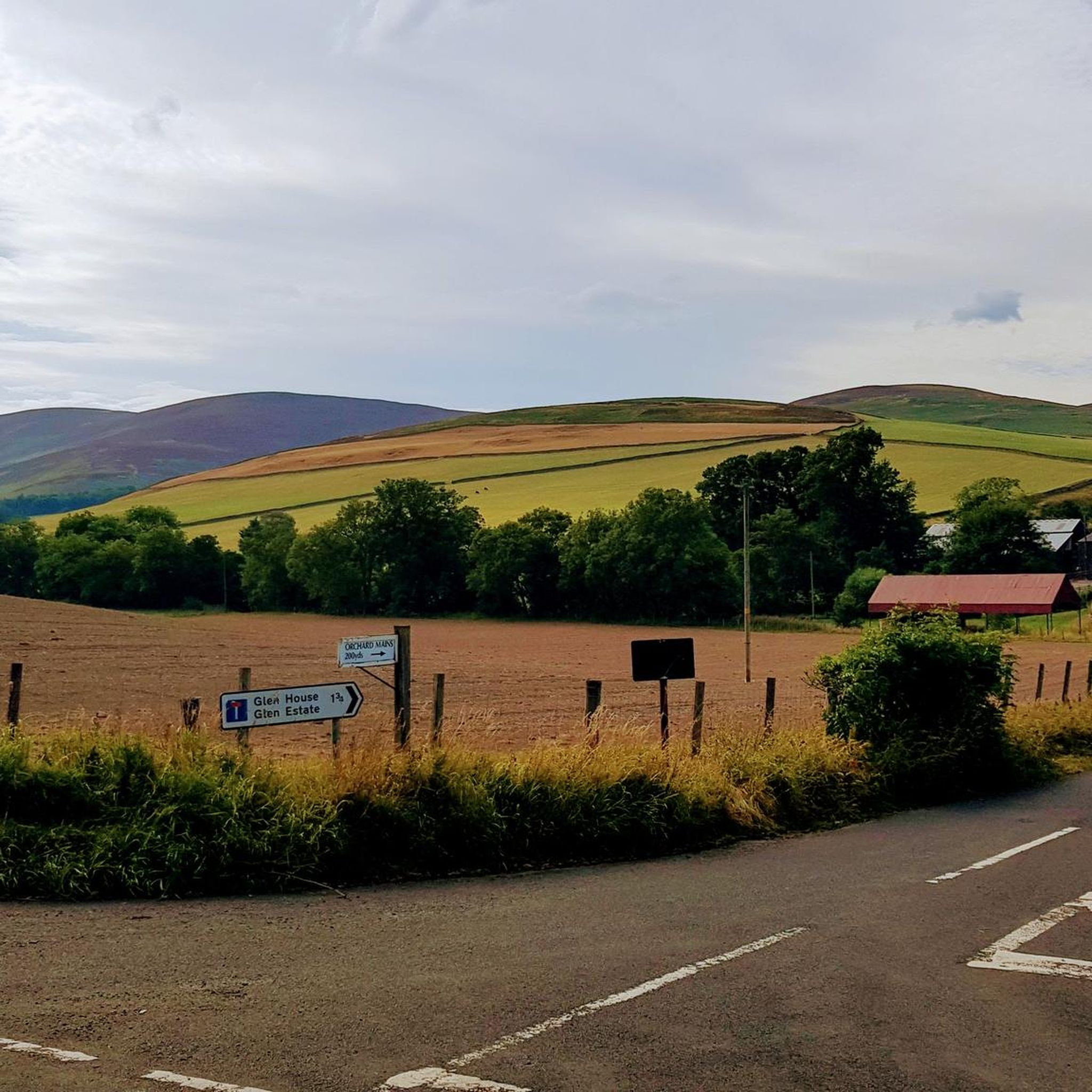
This excursion from the Southern Upland Way and the Cross Borders Drove Road is well worth the effort. On a clear day, you can see the hills surrounding the Tweed and Yarrow valleys. It's a special feeling, standing in a place where travelers, shepherds, and (Roman) armies passed through centuries ago.
0
0


Beautiful walled garden for having a coffee or a light meal 👌
0
0

The tarmac cycle path following the river Tweed from Glentress makes Innerleithen super accessible which in turn provides you with free range to pedal the ‘old’ XC & DH trails, it also provides easy access to the current ‘trendy’ gravity orientated hot spot of Golfie, named so, as it’s situated above the golf course. First off the Old XC, (starts from the carpark over the bridge by the river) it was very sad to see the current trashed & sorry state of what appears to be the forgotten XC Trail, after having ridden it many times since the early eighties! The long climb at the start is currently cut short & diverted with no access up to the top from what I could see? The remainder of the trails are just trashed with the mighty Caddon Bank DH a shadow of its former self. Golfie is an easy pedal across the village with some great coffee stop opportunities enroute. One in particular Findra on the high st deserves a Big shout out, it’s stylish, MTB rider (muddy bum) friendly, sells fantastic coffee & food has uber cool curated music. Oh it also sells very cool artisan made clothing. There are others in the village which all look fab but Findra was the one we stopped at. The Findra staff ride mountain bikes, are super friendly & great for local riding knowledge 😉👍 Golfie is a short pedal through the village towards the Golf club & then a longish pedal up a Forest road with ‘natural’ trails spilling off the side of the hill in varying degrees of difficulty. Be prepared for full on gnar, chunder, roots, very steep drop offs & lots n lots of muddy gloop if the weather has not been kind. No manicured trails here! If you keep pedalling you’ll eventually reach the old reservoir where the views are magnificent & several trail go off in several directions. My advice, if it’s your first time riding Golfie try & take someone who’s ridden it before as some of the trails start off very benign but then transform like Dr Jekyll & Mr Hyde! Wear body armour that allows you to pedal, but all the same wear body armour😜👍
1
0

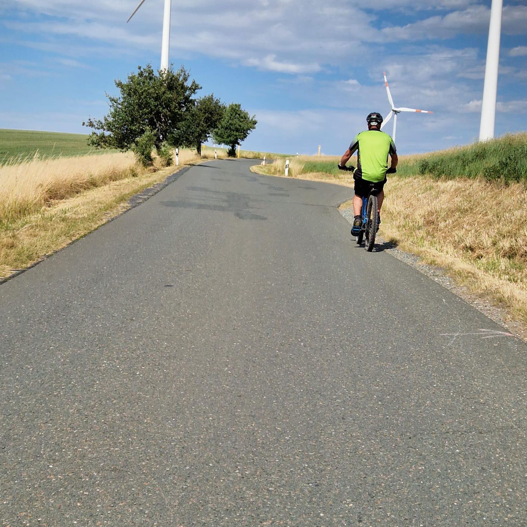
Connecting the 7 staines. You can bike from Walkerburn, Innerleithen and Glentress on this path.
0
0

On a nice day you can see through the Valley.
0
0

The River Tweed, or Tweed Water (Scottish), is a river 97 miles (156 km) long that flows east across the Scottish Borders and into northern England. Tweed is an Old Celtic name meaning "border" and tweed cloth derives its name from its association with the river, on account of the hundreds of mills powered by the river at one time. The Tweed is one of the great Salmon rivers of Europe and generates a large income for the local Borders region, attracting anglers from all around the world. It is one of the best Salmon rivers in Scotland.
0
0
Frequently Asked Questions
How many running routes are available in Kirkhouse Forest?
Kirkhouse Forest offers a wide selection of running routes, with over 60 trails to explore. These range from moderate paths to more challenging climbs, catering to various fitness levels.
What kind of terrain can I expect on the running trails in Kirkhouse Forest?
You'll find a diverse range of terrain in Kirkhouse Forest. Routes feature smooth gravel paths, as well as more technical dirt and grass side paths. Some trails offer significant elevation gains, making it an excellent spot for hill training, while others wind through peaceful spruce and larch trees.
Are there any easy or beginner-friendly jogging routes in Kirkhouse Forest?
Yes, Kirkhouse Forest has several routes suitable for beginners or those looking for a more relaxed run. There are at least 3 easy routes and 33 moderate routes available, providing gentler options through the forest scenery.
Can I find challenging running trails for advanced training in Kirkhouse Forest?
Absolutely. For experienced runners seeking a challenge, Kirkhouse Forest offers 26 difficult routes with substantial elevation gains, perfect for hill training. An example is the View of Broomy Law – View of the Three Brethren loop from Traquair, which covers 14.3 miles with over 700 meters of ascent.
Are there any circular running routes in Kirkhouse Forest?
Many of the running routes in Kirkhouse Forest are designed as loops, allowing you to start and finish at the same point. For instance, the Loch Eddy – Bridge to the Old Mansion loop from Glen House is a popular 4.9-mile circular trail through scenic forest.
What do other runners enjoy most about jogging in Kirkhouse Forest?
The running routes in Kirkhouse Forest are highly rated by the komoot community, with an average score of 4.7 stars. Runners frequently praise the varied terrain, the extensive and peaceful forest scenery, and the opportunities for effective hill training.
Are the running trails in Kirkhouse Forest suitable for families?
While the guide doesn't specify 'family-friendly' routes, the presence of easy and moderate trails suggests there are options suitable for families looking for a less strenuous outing. The diverse forest scenery provides an enjoyable environment for all ages.
Are dogs allowed on the running trails in Kirkhouse Forest?
Generally, Kirkhill Forest (which Kirkhouse Forest likely refers to) is dog-friendly, but it's always recommended to keep dogs under control, especially around wildlife and other visitors. Specific trail rules may vary, so look for local signage.
Are there any notable landmarks or viewpoints along the running paths?
Yes, Kirkhill Forest is home to the 19th-century folly, Tappie Tower. While reaching it involves a stiff climb, the reward is panoramic views stretching from the North Sea to Bennachie and across Aberdeenshire. Many routes offer scenic vistas throughout the forest.
What is the best time of year to go running in Kirkhouse Forest?
Kirkhouse Forest offers a stimulating environment for running year-round. Spring and autumn provide beautiful foliage and comfortable temperatures. The varied terrain and forest cover can also make it enjoyable during summer, while winter runs can be picturesque, though some paths might be more challenging due to conditions.
Are there any facilities like cafes or restrooms near the running trails?
While the forest itself is primarily a natural area, Kirkhill Forest typically has car parks which may include basic facilities. For cafes and other amenities, you would likely need to visit nearby towns or villages. It's advisable to check local resources for specific information on facilities before your visit.
Is there public transport access to Kirkhouse Forest for runners?
Access to Kirkhill Forest (which Kirkhouse Forest likely refers to) by public transport can be limited, as it's often situated in more rural settings. It's best to research local bus routes or train services to nearby towns and plan for a potential walk or short taxi ride to the forest entrances.
Where can I park when visiting Kirkhouse Forest for a run?
Kirkhill Forest typically provides designated car parks for visitors. These are usually located at key access points to the trail network. It's recommended to check maps or local information for specific car park locations and any potential fees before your visit.
Most popular routes around Kirkhouse Forest

Get inspired with the komoot mobile app


Explore more
Browse the best Running Trails & Routes in other regions.
