The best running trails in Altenbucher Forst
4.4
(302)
3,535
runners
271
runs
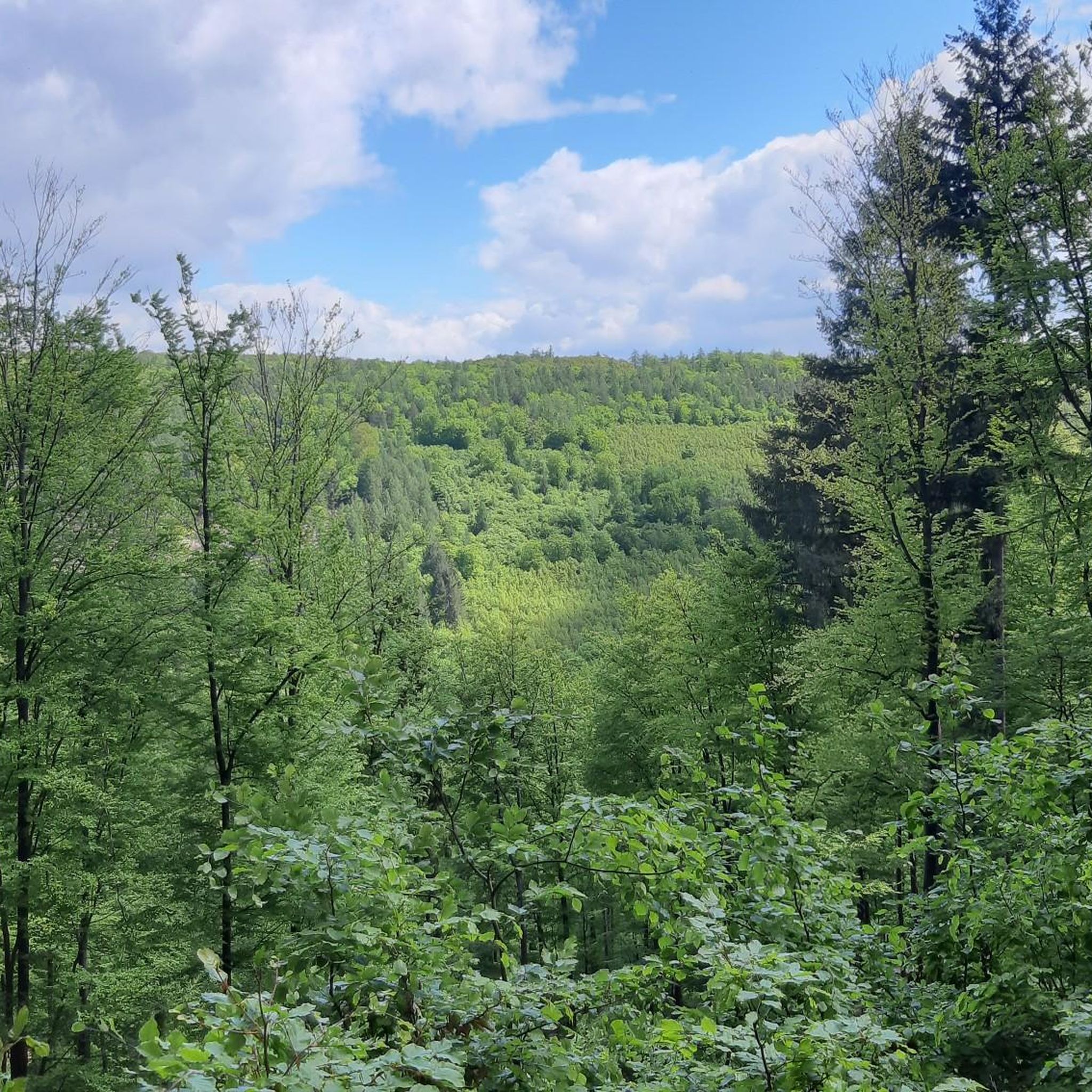
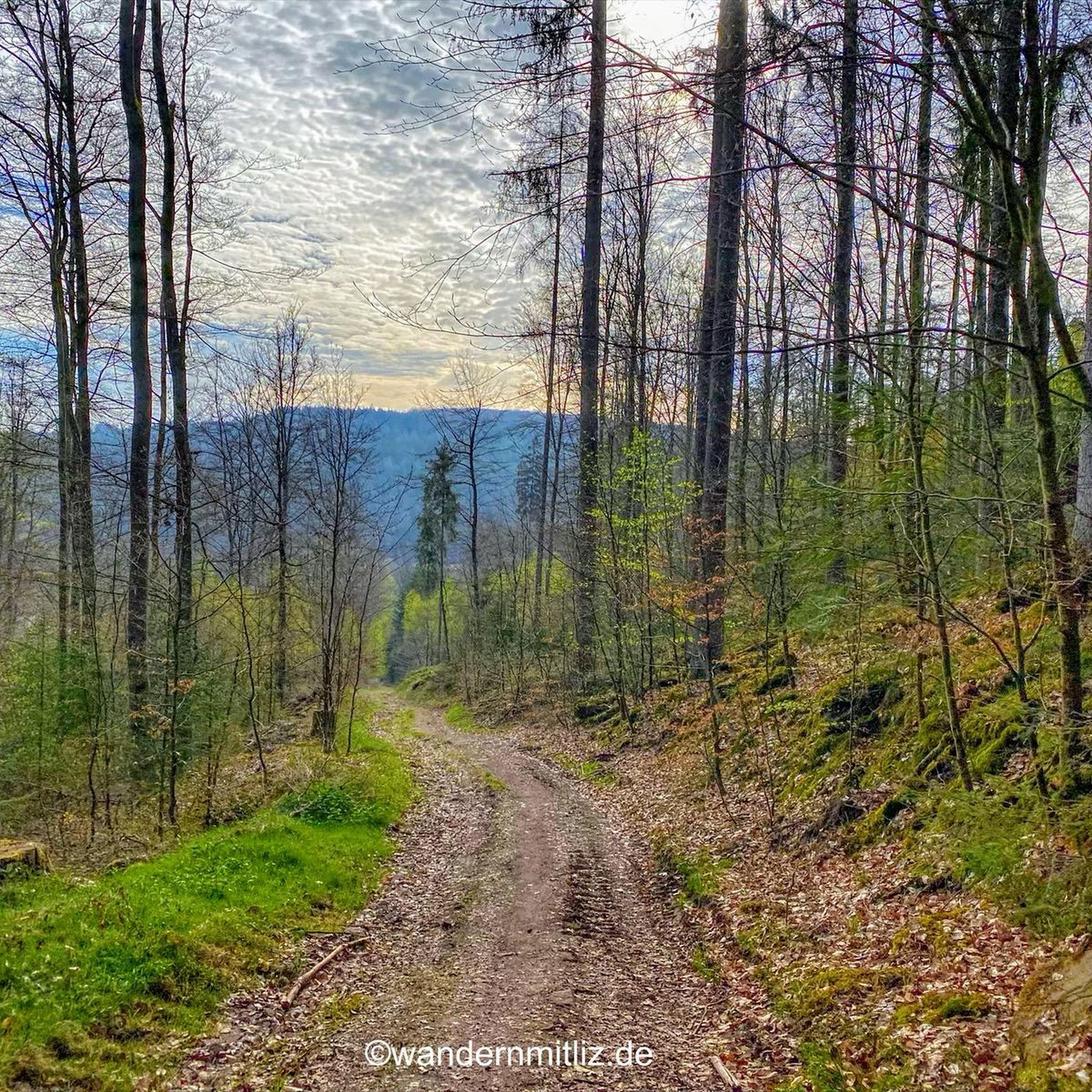
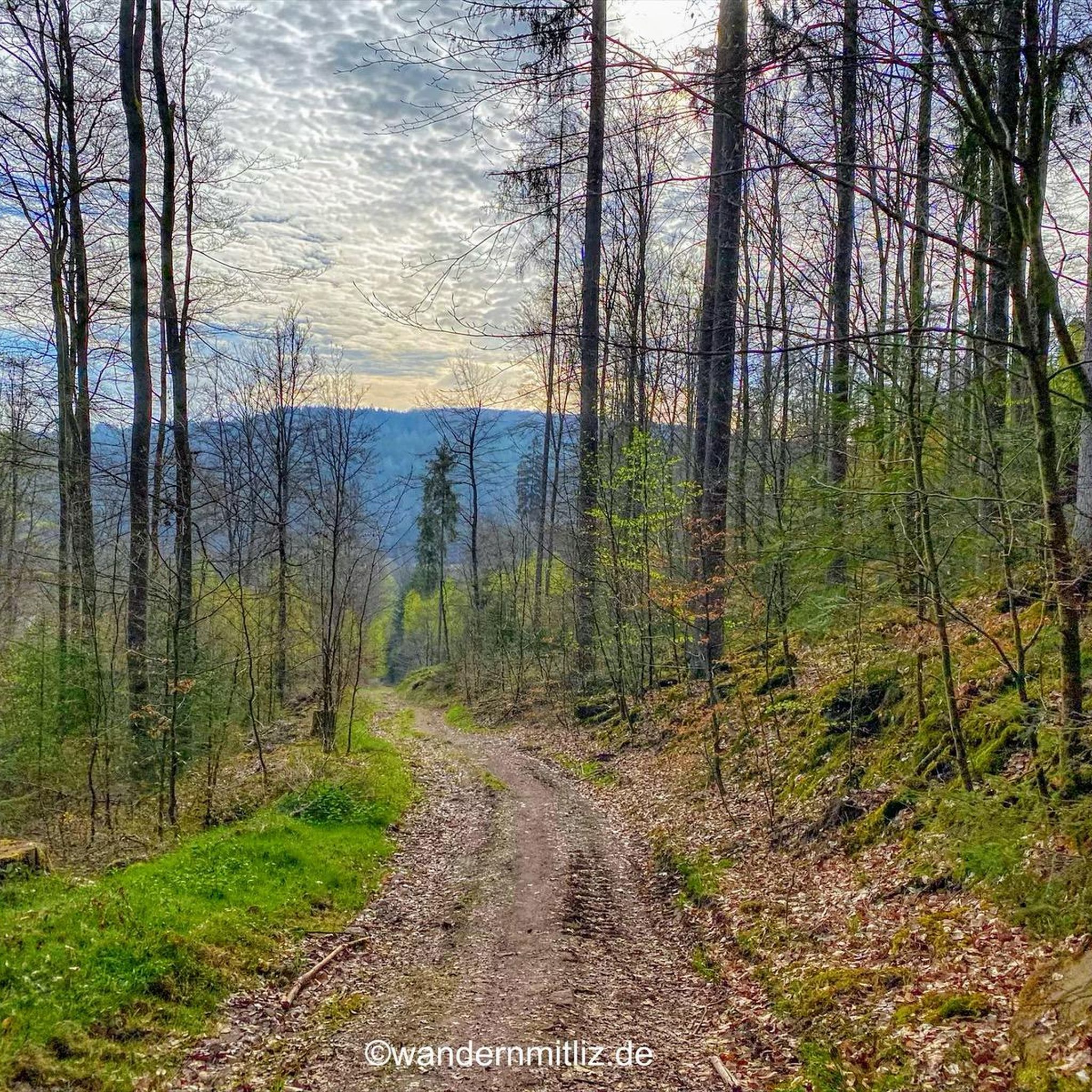
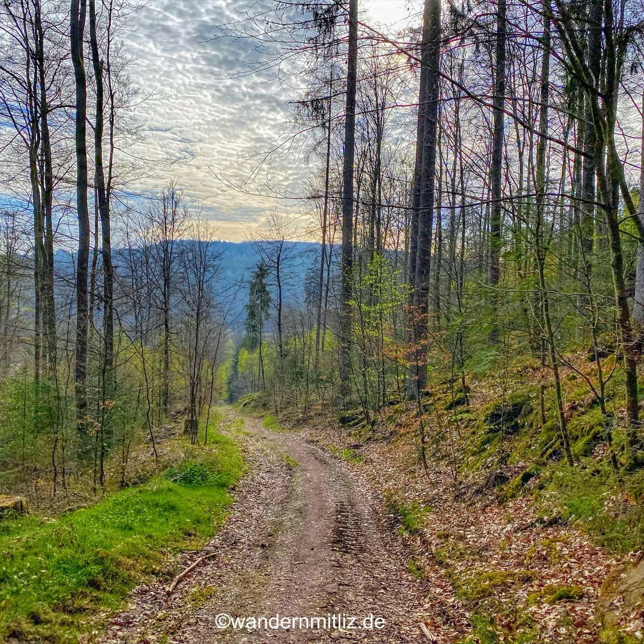
Jogging routes in Altenbucher Forst are situated within the Südspessart region, characterized by varied landscapes and natural features. The area features extensive forests and is known for its Buntsandstein formations. The nearby Main River and its associated vineyards also contribute to the diverse scenery. This combination offers a range of terrain suitable for running.
Best jogging routes in Altenbucher Forst
- The most popular jogging route is Handbuchenschlag loop from Schollbrunn, a 4.4 miles (7.0 km) trail that takes about…
Last updated: July 14, 2026
4
runners
7.04km
00:45
100m
100m
Moderate run. Good fitness required. Mostly paved surfaces. Suitable for all skill levels.
7
runners
6.37km
00:40
70m
70m
Moderate run. Good fitness required. Mostly paved surfaces. Suitable for all skill levels.

Sign up for free
5
runners
8.01km
00:51
110m
110m
Moderate run. Good fitness required. Mostly paved surfaces. Suitable for all skill levels.
3.7
(3)
13
runners
12.3km
01:17
90m
90m
Moderate run. Good fitness required. Mostly paved surfaces. Suitable for all skill levels.
4.7
(7)
50
runners
Hard run. Very good fitness required. Mostly paved surfaces. Suitable for all skill levels.
Get access to more routes and recommendations from other explorers.
Sign up for free
Already have an account?
Our route recommendations are based on thousands of hikes, rides, and runs completed by other people on komoot.
Start today with a free account
Your next adventure awaits.
Login or Signup

Tips from the Community

A little refreshment for the feet
0
0

The “poacher Hasenstab” has made quite a few blunders.
0
0

The arch-poacher of the Spessart, Johann Adam Hasenstab, came from Rothenbuch, the then capital of the Electorate of Mainz's Spessart. He made poaching his main occupation and commanded entire gangs of poachers and robbers. He was shot at this spot by Johann Sator, a forester, according to his choice. Therefore, a stone cross was erected here in his honor by the residents of the Spessart.
0
0

The most famous poacher in the Spessart was shot here. A great life story.
0
0

Beautiful water treading facility, here the hiker or biker can give his tired feet and calves a fresh kick.
1
0


Water treading in Breitenbrunn
0
0

At the Wolfsbuche (after approx. 36 km) the hare stick cross reminds of the ore poacher. The stone cross was donated by the residents of the Spessart in recognition and in memory of their hero after his violent death. In fact, Johann Adam Hasenstab was buried in 1773 in the cemetery in the town of Breitenbrunn, south of Schollbrunn
3
0
Frequently Asked Questions
How many running routes are available in Altenbucher Forst?
Altenbucher Forst offers a wide selection of running routes, with over 220 trails to explore. These routes cater to various fitness levels, ensuring there's something for everyone.
What is the general difficulty level of the running trails in Altenbucher Forst?
The majority of running trails in Altenbucher Forst are rated as moderate, with about 160 such routes. There are also around 19 easy routes perfect for beginners or a relaxed jog, and 50 more challenging options for experienced runners seeking a greater workout.
What kind of landscape can I expect while running in Altenbucher Forst?
You can expect a diverse landscape characterized by extensive forests, typical of the Südspessart region. The area is also known for its unique Buntsandstein (colorful sandstone) formations. Additionally, the nearby Main River and its vineyards contribute to varied scenery, offering a mix of forested paths and potential riverside views.
Are there any easy running routes suitable for beginners or a relaxed jog?
Yes, there are several easy running routes. One popular option is the Old Mill loop from Faulbach, which is 2.9 miles (4.7 km) long and typically takes around 29 minutes to complete through varied terrain.
Can I find longer running routes for endurance training in Altenbucher Forst?
Absolutely. For those looking for a longer run, the Sandacker – Breitenbrunn water treading facility loop from Faulbach is a great choice. This moderate route spans 6.3 miles (10.2 km) and features a notable elevation gain, providing a good challenge for endurance.
Are there any scenic viewpoints or natural features along the running routes?
Yes, Altenbucher Forst is home to several interesting natural and man-made monuments. You might encounter features like the Spiral-Growth European Beech or explore the Haselbach Valley. Other points of interest include the Laudensack Memorial and the Hasenstab Cross.
What do other runners think about the trails in Altenbucher Forst?
The running routes in Altenbucher Forst are highly regarded by the komoot community, boasting an average rating of 4.4 stars from over 200 reviews. More than 3,000 runners have used komoot to explore the varied terrain, often praising the extensive forests and diverse landscapes.
Are the running trails in Altenbucher Forst suitable for families?
Many of the trails in Altenbucher Forst are suitable for families, especially the easier and moderate loops. The varied terrain and natural surroundings provide an enjoyable experience for all ages. Consider routes like the Mother with Children Chapel loop from Schollbrunn for a family-friendly outing.
Can I bring my dog on the running trails in Altenbucher Forst?
Generally, dogs are welcome on the running trails in Altenbucher Forst. However, it's always recommended to keep your dog on a leash, especially in forested areas, to protect wildlife and ensure a pleasant experience for all users. Please be mindful of local regulations.
Are there circular running loops available in Altenbucher Forst?
Yes, many of the running routes in Altenbucher Forst are designed as circular loops, making them convenient for starting and ending at the same point. Examples include the Handbuchenschlag loop from Schollbrunn and the Historic Town Hall loop from Faulbach.
What are the parking options for accessing the running trails?
Access points to the running trails often have designated parking areas, particularly near popular starting points in towns like Schollbrunn and Faulbach. It's advisable to check the specific route details on komoot for information on parking facilities closest to your chosen starting point.
Most popular routes in Altenbucher Forst
Most popular attractions in Altenbucher Forst

Get inspired with the komoot mobile app


Explore more
Browse the best Running Trails & Routes in other regions.
