The best road cycling routes in Rothenbucher Forst
4.7
(324)
3,243
riders
89
rides
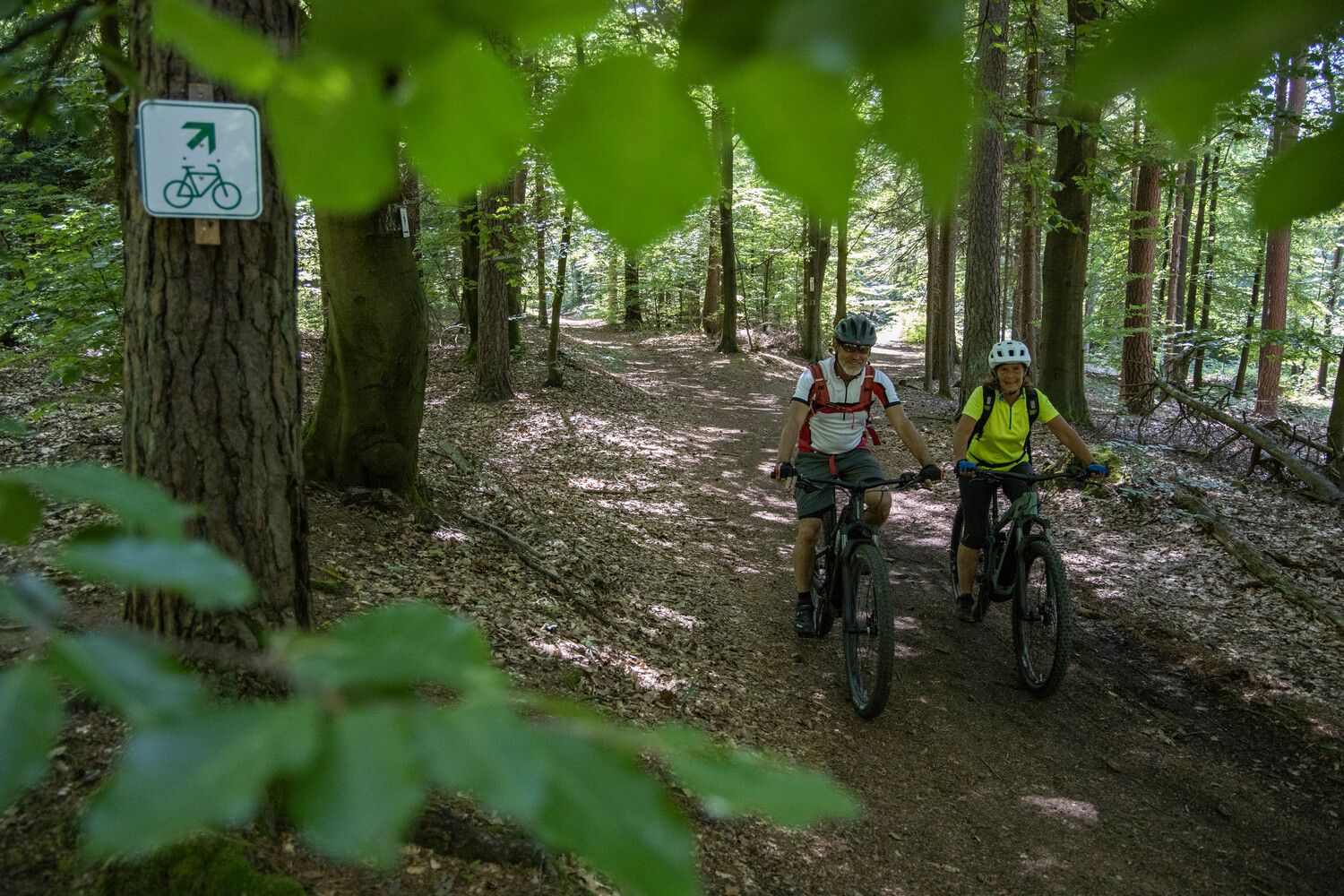
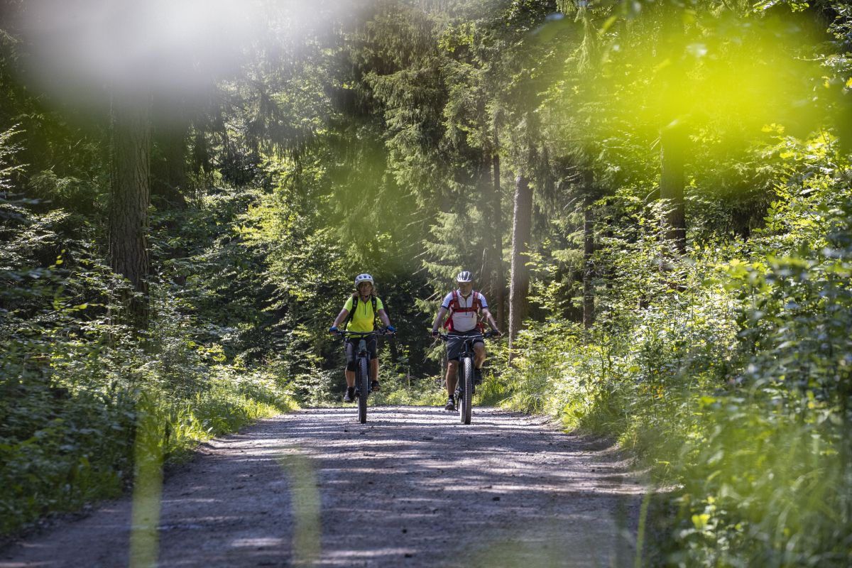
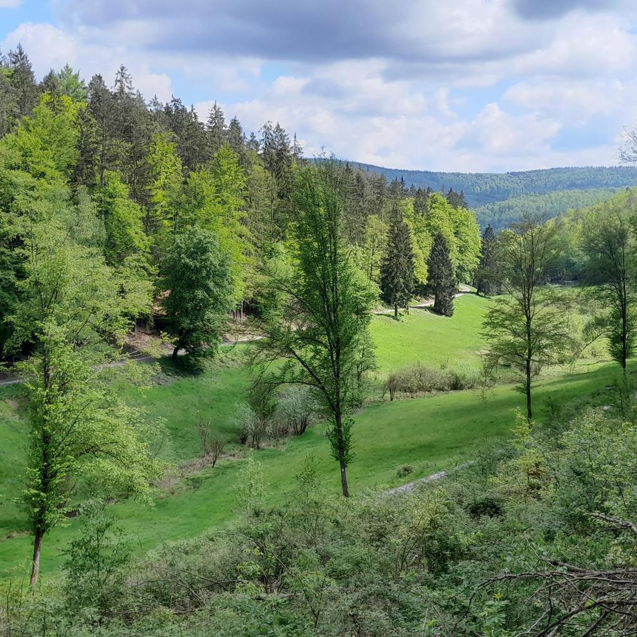
Road cycling in Rothenbucher Forst offers diverse landscapes within an expansive, forested area in the Bavarian Spessart region. The terrain features dense oak forests, the picturesque Hafenlohr Valley, and elevated sections, with the highest point reaching 506 meters above sea level. Well-maintained paths and narrow, winding roads provide varied experiences for road cyclists. The region's natural beauty includes several nature reserves and three lakes, contributing to a green nature experience.
Best road cycling routes in Rothenbucher Forst
- The most popular road cycling route is Hafenlohrtalstraße – Hafenlohrtal Nature Reserve loop from Rothenbuch, a 32.6 miles (52.4 km) trail that takes 2 hours 27 minutes to complete. This moderate route navigates through the scenic Hafenlohrtal Nature Reserve.
- Another top favourite among local road cyclists is Hafenlohrtal Nature Reserve – Hafenlohrtalstraße loop from Rothenbuch, a moderate 25.4 miles (40.8 km) path. This route offers varied terrain and scenic views within the Hafenlohrtal Nature Reserve.
- Local road cyclists also love the Rothenbuch Castle – Hafenlohrtal Nature Reserve loop from Naturpark Spessart, a 12.7 miles (20.4 km) trail leading through the Hafenlohrtal Nature Reserve, often completed in about 57 minutes.
- Road cycling in Rothenbucher Forst is defined by dense oak forests, the Hafenlohr Valley, and elevated terrain. The network offers options for easy, moderate, and difficult ability levels.
- The routes in Rothenbucher Forst are highly rated by the komoot community with an average score of 4.7 stars from over 280 reviews. More than 3,200 road cyclists have used komoot to explore Rothenbucher Forst's varied terrain.
Last updated: July 15, 2026
4.7
(29)
81
riders
52.4km
02:27
640m
640m
Moderate road ride. Good fitness required. Mostly well-paved surfaces and easy to ride.
5.0
(12)
76
riders
40.8km
01:50
380m
380m
Moderate road ride. Good fitness required. Mostly well-paved surfaces and easy to ride.

Sign up for free
10
riders
Moderate road ride. Good fitness required. Mostly well-paved surfaces and easy to ride.
4.5
(8)
45
riders
Moderate road ride. Good fitness required. Mostly well-paved surfaces and easy to ride.
5.0
(5)
24
riders
Moderate road ride. Good fitness required. Mostly well-paved surfaces and easy to ride.
Get access to more routes and recommendations from other explorers.
Sign up for free
Already have an account?
Our route recommendations are based on thousands of hikes, rides, and runs completed by other people on komoot.
Start today with a free account
Your next adventure awaits.
Login or Signup

Tips from the Community

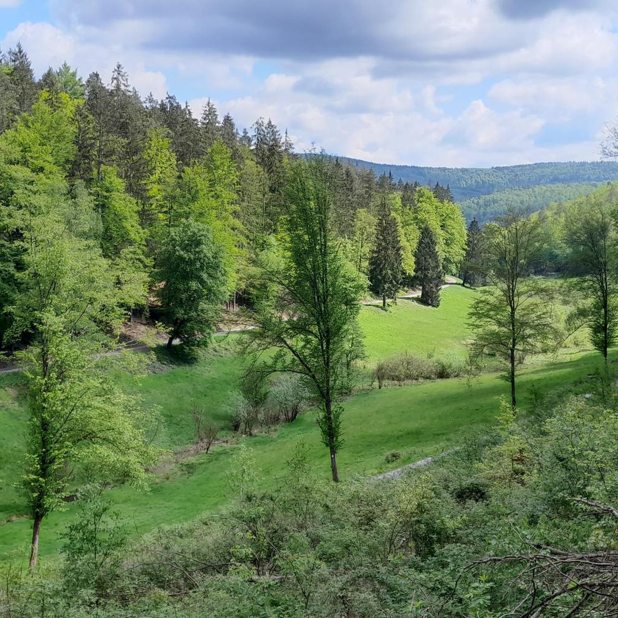
It looks really great and is the end or beginning of a beautiful descent or a tough climb.
0
0

Opens only from Friday to Sunday
0
0

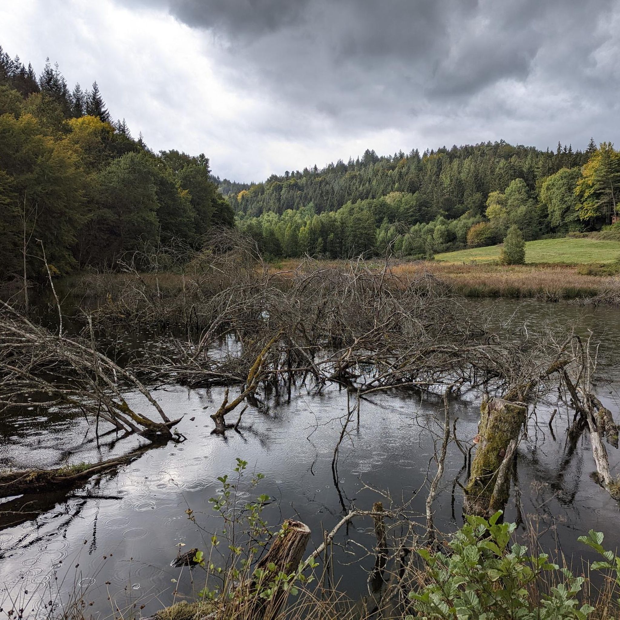
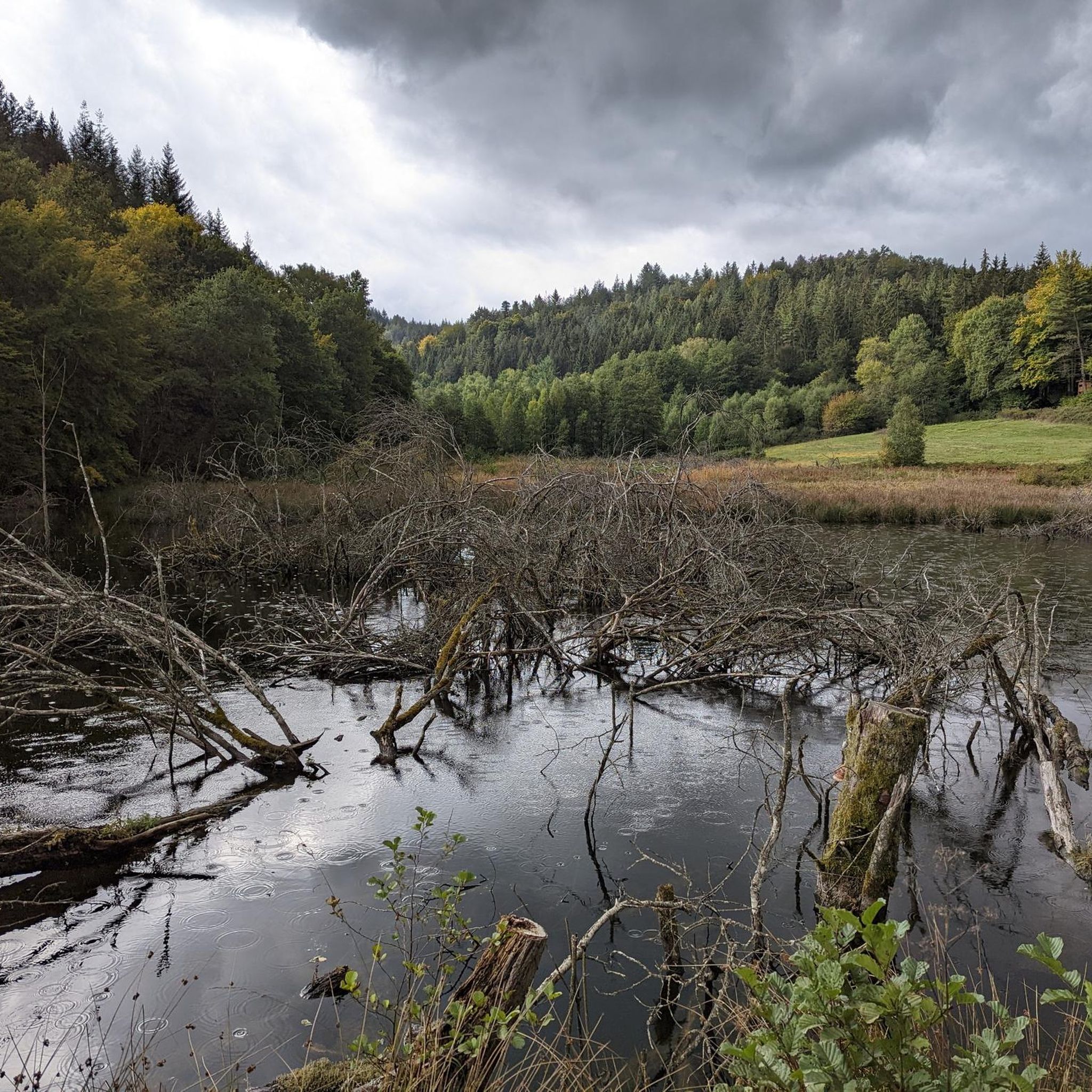
You then get a very good idea of how devastating some floods must have been....
2
0

The Hafenlohr is a 26.5 km long (27.7 km including the Tiergartenbach) right tributary of the Main River in the districts of Aschaffenburg and Main-Spessart in the Bavarian Spessart region. The Hafenlohr rises from two springs in the municipality of Rothenbuch. The longer and occasionally more water-rich branch is the Tiergartenbach, which often dries up on dry days. Officially, it is considered the upper course of the Hafenlohr main watercourse. The source, known as the Hafenlohr Spring, in the center of the village provides water almost year-round. The Hafenlohr Spring is located at Rothenbuch Castle. It was encased in sandstone during the road widening of the St 2317. Its water flows northwest through the castle moat and, after about 100 meters, flows from the left bank into the bed of the Tiergartenbach, which flows from the Tiergartengrund on the northern edge of the village and is already 1.3 km[7] long. It doesn't provide water year-round, but at times it provides more than the perennial spring at the castle. The spring at the castle was probably once a meeting place for hunters in the eastern Spessart, which is why construction of a hunting lodge began here in 1342. The spring water fed the castle moat and several surrounding trout lakes, which no longer exist. Source and further information: https://de.wikipedia.org/wiki/Hafenlohr_(Fluss)
1
0
The Hafenlohr is a 26.5 km long (27.7 km including the Tiergartenbach) right tributary of the Main River in the districts of Aschaffenburg and Main-Spessart in the Bavarian Spessart region. The Hafenlohr rises from two springs in the municipality of Rothenbuch. The longer and occasionally more water-rich branch is the Tiergartenbach, which often dries up on dry days. Officially, it is considered the upper course of the Hafenlohr main watercourse. The source, known as the Hafenlohr Spring, in the center of the village provides water almost year-round. The Hafenlohr Spring is located at Rothenbuch Castle. It was encased in sandstone during the road widening of the St 2317. Its water flows northwest through the castle moat and, after about 100 meters, flows from the left bank into the bed of the Tiergartenbach, which flows from the Tiergartengrund on the northern edge of the village and is already 1.3 km[7] long. It doesn't provide water year-round, but at times it provides more than the perennial spring at the castle. The spring at the castle was probably once a meeting place for hunters in the eastern Spessart, which is why construction of a hunting lodge began here in 1342. The spring water fed the castle moat and several surrounding trout lakes, which no longer exist. Source and further information: https://de.wikipedia.org/wiki/Hafenlohr_(Fluss)
1
0
Lichtenau is a hamlet belonging to the municipality of Rothenbuch in the Lower Franconian district of Aschaffenburg. The original Lichtenau stud farm belonged to the Electorate of Mainz in the late Middle Ages. From 1813 to 1871, an iron hammer was located there. An inn and the adjacent chapel are now listed as historical monuments. Source: Wikipedia
1
0

The landscape around Steinmühle is truly beautiful. This section is great for cycling and can be easily combined with various tours. The gradient (or decline, depending on the direction) is manageable and, with a maximum of 4-5% and thanks to the top-quality asphalt, is easy to manage. On Sundays, road cyclists share the road with motorcyclists. If you see a racing bike on the horizon, pull over and avoid cornering. For motorized two-wheelers, this is a real race track. Nevertheless, the highlight is the Steinmühle on the Weiberbach stream, which is worth the detour. 🤩👍🏻
0
0

Very nice here
2
1
Frequently Asked Questions
How many road cycling routes are available in Rothenbucher Forst?
Rothenbucher Forst offers a wide selection of road cycling routes, with over 90 tours available. These routes cater to various skill levels, including 12 easy, 63 moderate, and 15 difficult options.
What is the typical terrain for road cycling in Rothenbucher Forst?
The terrain in Rothenbucher Forst is diverse, characterized by dense oak forests and the picturesque Hafenlohr Valley. You'll encounter well-maintained paths and narrow, winding roads. The region is situated in the 'Hochspessart,' with elevated sections and the highest point reaching 506 meters above sea level, offering varied elevation profiles.
Are there road cycling routes suitable for beginners or families in Rothenbucher Forst?
Yes, Rothenbucher Forst has 12 easy road cycling routes that are well-suited for beginners or families looking for a more relaxed ride. These routes often feature less challenging gradients and provide a pleasant way to experience the region's natural beauty.
What are some of the more challenging road cycling options in Rothenbucher Forst?
For experienced road cyclists seeking a challenge, Rothenbucher Forst offers 15 difficult routes. These typically involve more significant elevation gains and longer distances. An example of a moderate route with notable elevation is the Hafenlohrtalstraße – Hafenlohrtal Nature Reserve loop from Rothenbuch, which covers 52.4 km with over 640 meters of ascent.
When is the best time of year for road cycling in Rothenbucher Forst?
The best time for road cycling in Rothenbucher Forst is generally from spring through autumn. During these seasons, the weather is most favorable, and the natural landscapes, especially the dense oak forests and the Hafenlohr Valley, are at their most vibrant. Winter cycling might be possible but requires checking local conditions due to potential snow or ice.
Are there circular road cycling routes available in the region?
Yes, many of the road cycling routes in Rothenbucher Forst are designed as loops, allowing you to start and end at the same point. Examples include the Hafenlohrtal Nature Reserve – Hafenlohrtalstraße loop from Rothenbuch and the Rothenbuch Castle – Hafenlohrtal Nature Reserve loop from Naturpark Spessart, which offer scenic circular tours.
What sights or natural features can I see along the road cycling routes?
While road cycling, you can experience the region's significant natural beauty. The routes often pass through dense oak forests and the picturesque Hafenlohr Valley. You might also encounter natural features like the Bomigsee, Kaltengrundsee, and Breitsee lakes. The area is also home to several nature reserves, including Hafenlohrtal, Metzgergraben – Krone, and Spessartwiesen.
Are there any castles or historical sites accessible by road bike?
Yes, the region offers historical points of interest. While not directly on every route, the iconic 600-year-old Schloss Mespelbrunn, a moated castle, is a short distance from Rothenbucher Forst. The village of Rothenbuch itself features Rothenbuch Castle and the spring of the Hafenlohr river, which can be starting or ending points for tours like the Rothenbuch Castle – Hafenlohrtal Nature Reserve loop.
Where can I find parking for road cycling in Rothenbucher Forst?
Parking is generally available in and around the villages bordering Rothenbucher Forst, such as Rothenbuch. Many routes start from these locations, offering convenient access points for cyclists arriving by car. Specific parking areas are often indicated near popular trailheads or attractions.
Are there places to stop for refreshments or a meal along the routes?
Yes, you can find opportunities for refreshments and meals in the villages surrounding Rothenbucher Forst, such as Rothenbuch. The Lichtenau Hofhaus Inn in the Hochspessart is a rustic forest house that serves as a popular stop for many outdoor enthusiasts. The charming Altstadt Lohr am Main also offers a variety of cafes and restaurants.
Can I reach Rothenbucher Forst by public transport for road cycling?
While Rothenbucher Forst is primarily a forested area, the surrounding towns and villages may offer public transport connections. It's advisable to check local bus schedules to nearby towns like Rothenbuch or Lohr am Main, which can serve as starting points for your road cycling adventures. However, direct public transport into the heart of the forest is limited.
What do other road cyclists say about the routes in Rothenbucher Forst?
The road cycling routes in Rothenbucher Forst are highly regarded by the komoot community, with an average rating of 4.7 stars from over 280 reviews. Cyclists often praise the region's diverse landscapes, the 'green nature experience' in the Spessart, and the well-maintained paths that make for enjoyable rides.
Most popular routes in Rothenbucher Forst
Most popular attractions in Rothenbucher Forst

Get inspired with the komoot mobile app


Explore more
Browse the best Road cycling routes in other regions.
