The best walks and hikes in Rochauer Heide
4.5
(299)
1,197
hikers
14
hikes
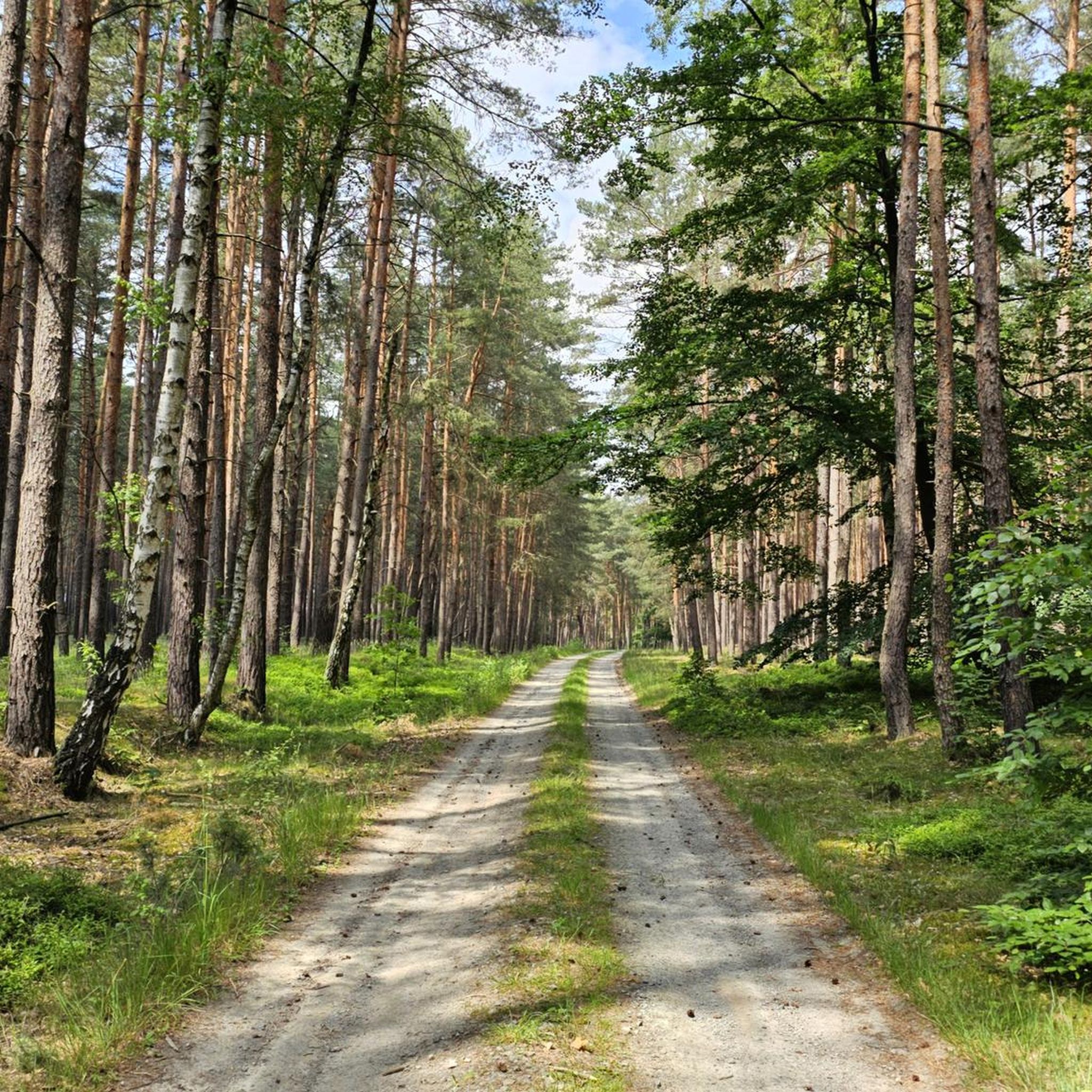
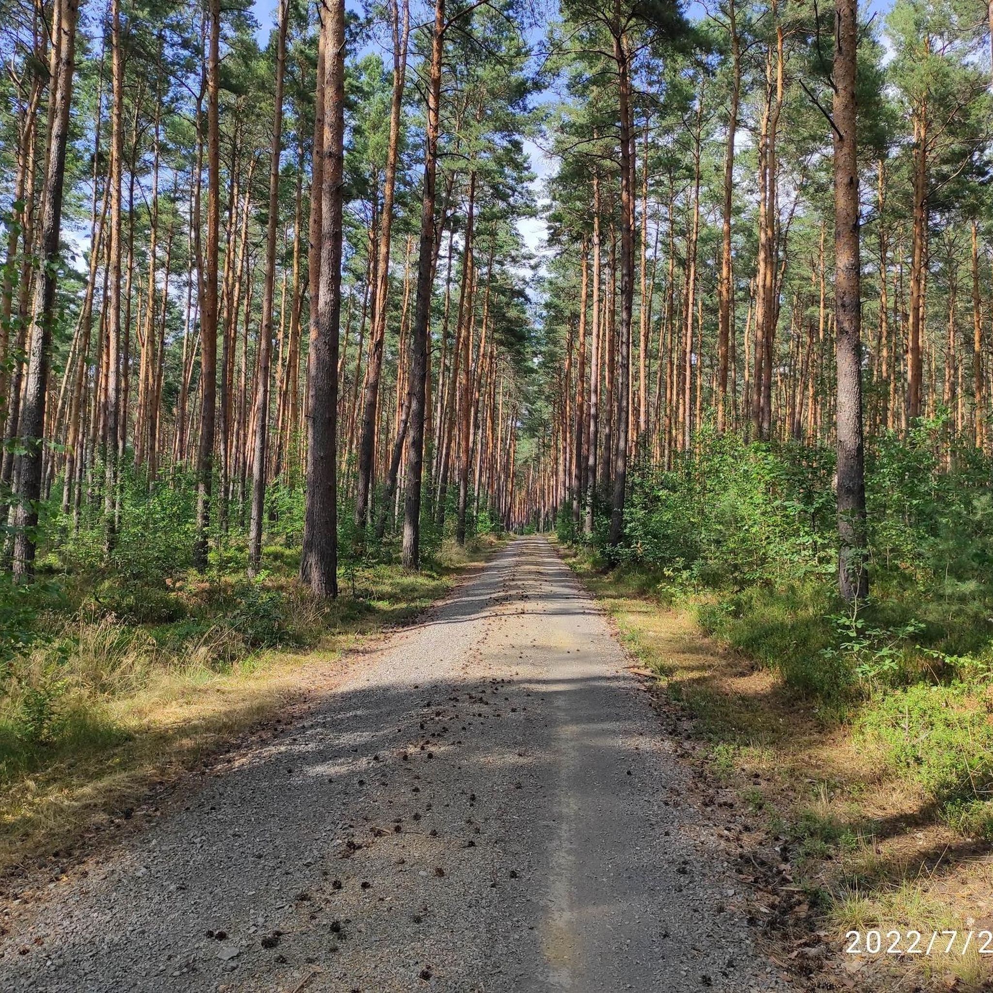
Hiking trails in Rochauer Heide traverse a significant forest complex characterized by extensive pine-oak forests and heathland. The region features diverse ecosystems and largely flat terrain with only slight inclines. This makes it an accessible destination for outdoor activities, offering a tranquil escape into nature.
Best hiking trails in Rochauer Heide
- The most popular hiking route is Teufelsstein of Gehren – Summit and View Königsberg loop from Walddrehna, a 10.3 miles (16.6 km) trail that takes 4 hours 21 minutes to complete. This moderate hike requires a good basic fitness level.
- Another top favourite among local hikers is Hiking loop from Lugkteichgebiet, a moderate 5.3 miles (8.6 km) path. This route winds through peaceful pine plantations and offers views of the gentle landscape.
- Local hikers also love the Hiking loop from Schwarzenburg, a 5.7 miles (9.2 km) trail leading through extensive forests, often completed in about 2 hours 20 minutes.
- Hiking in Rochauer Heide is defined by extensive pine-oak forests, heathland, and gentle topography. The network offers options for different ability levels, from easy walks to more moderate treks.
- The routes in Rochauer Heide are highly rated by the komoot community with an average score of 4.5 stars from over 270 reviews. More than 1100 hikers have used komoot to explore Rochauer Heide's varied terrain.
Last updated: June 27, 2026
5.0
(3)
9
hikers
17.0km
04:28
130m
130m
Moderate hike. Good fitness required. Mostly accessible paths. Sure-footedness required.
3
hikers
9.99km
02:35
60m
60m
Moderate hike. Good fitness required. Easily-accessible paths. Suitable for all skill levels.

Sign up for free
5.0
(2)
5
hikers
14.8km
03:50
90m
90m
Moderate hike. Good fitness required. Easily-accessible paths. Suitable for all skill levels.
2
hikers
11.5km
02:55
30m
30m
Moderate hike. Good fitness required. Easily-accessible paths. Suitable for all skill levels.
4
hikers
6.24km
01:37
30m
30m
Easy hike. Great for any fitness level. Easily-accessible paths. Suitable for all skill levels.
Get access to more routes and recommendations from other explorers.
Sign up for free
Already have an account?
Our route recommendations are based on thousands of hikes, rides, and runs completed by other people on komoot.
Start today with a free account
Your next adventure awaits.
Login or Signup
Popular around Rochauer Heide
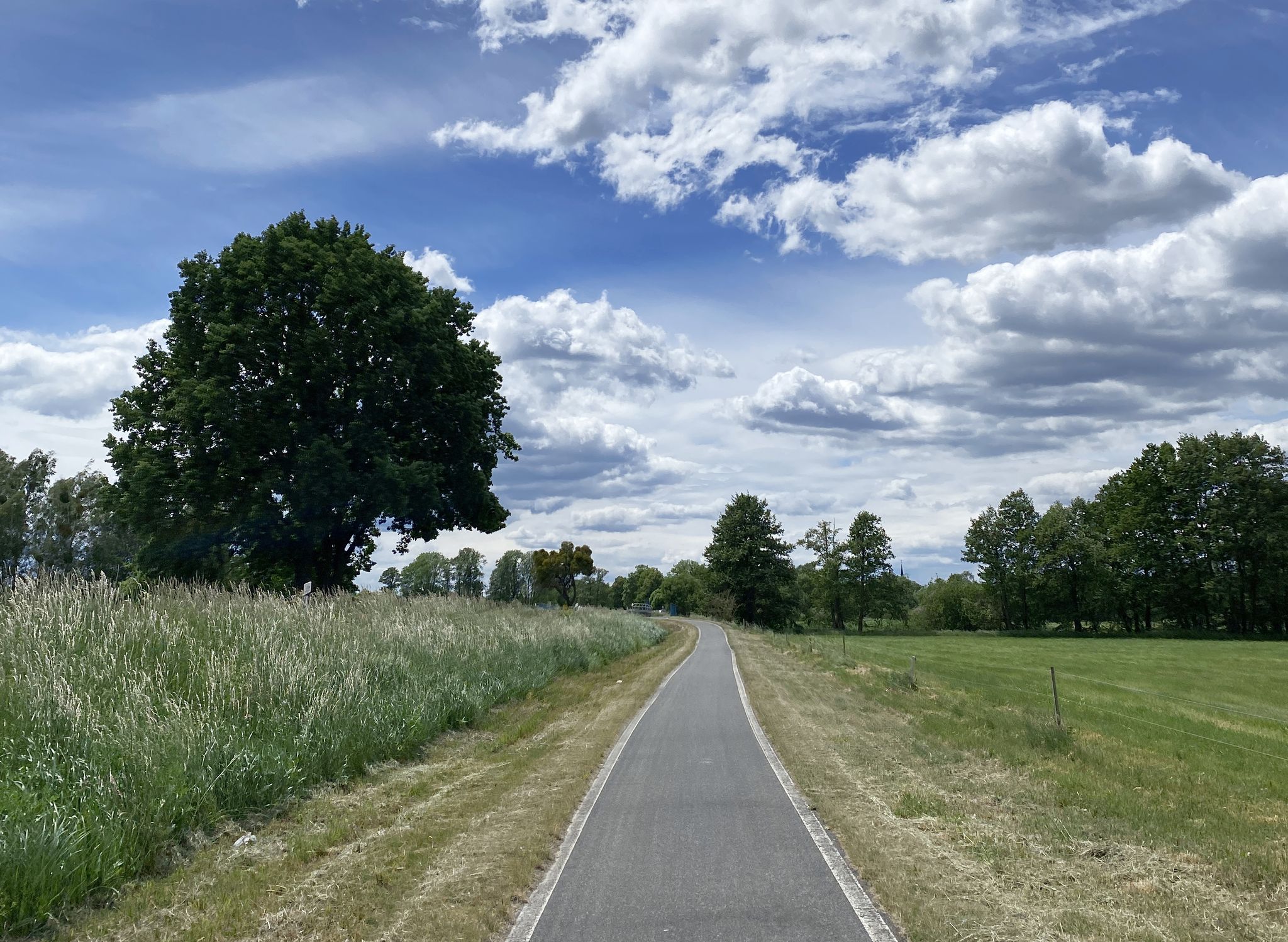
From mouth to source – Germany’s Dahme Cycle Route
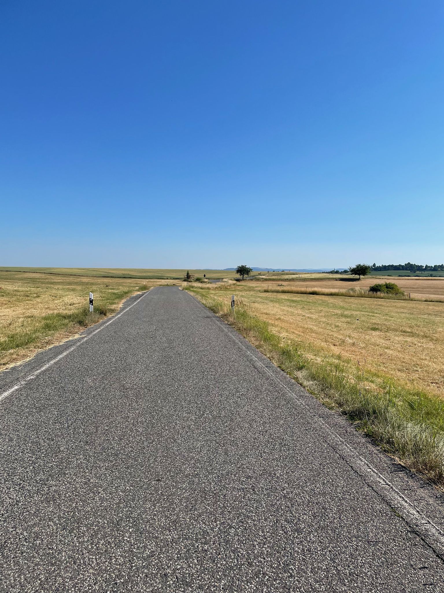
Komáří hůrka – bikepacking from Berlin to the Eastern Ore Mountains
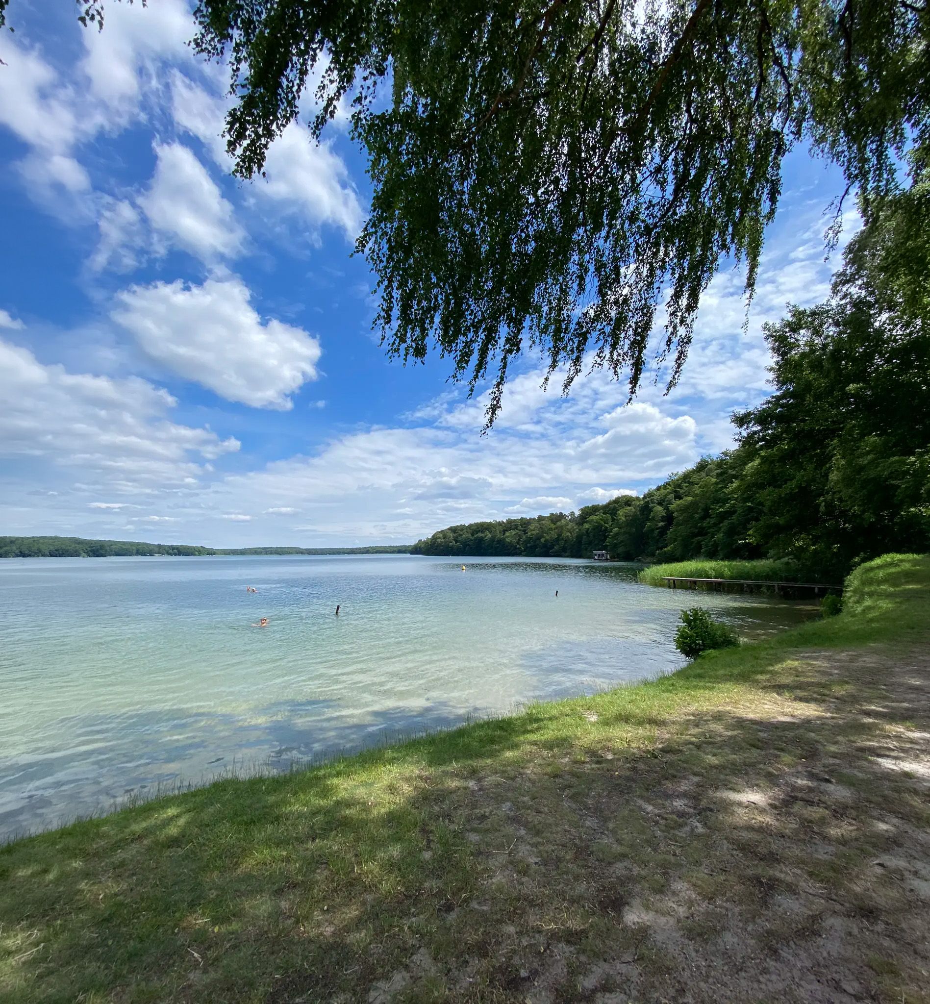
Zwischen Heide und Spree – Mikroabenteuer in Berlin & Brandenburg
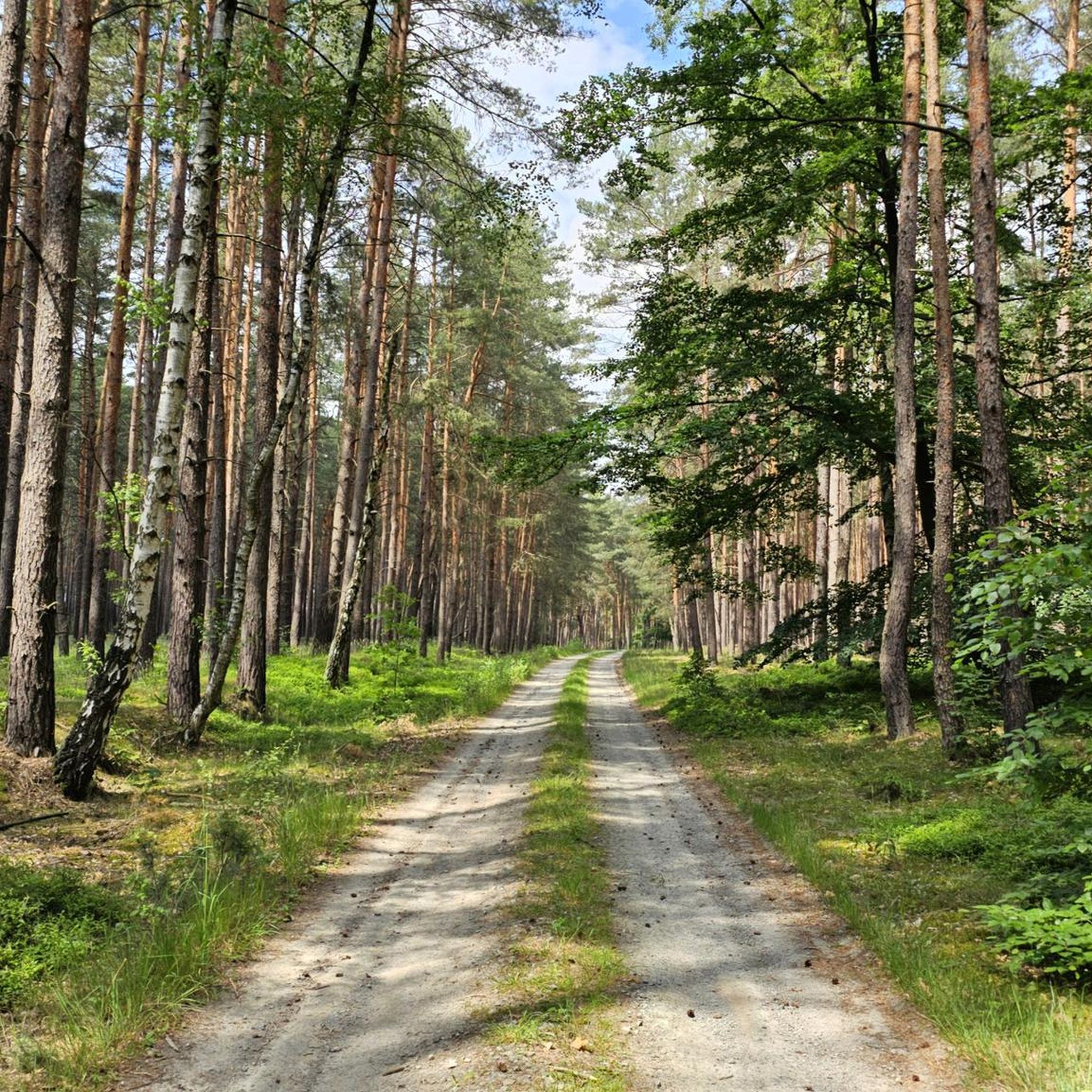
Cycling in Rochauer Heide
MTB Trails in Rochauer Heide
Running Trails in Rochauer Heide
Road Cycling Routes in Rochauer Heide
Gravel biking in Rochauer Heide
Other adventures in Rochauer Heide


Tips from the Community

Located on a small hilltop, you can take a break in the rustic mountain hut and enjoy the original forest around you.
0
0

The Rochau Heath is part of a roughly 35,000-hectare, very pristine forest area of pine and sessile oak woodlands that were never completely cleared and still reflect the natural vegetation. Old trees and abundant bilberry bushes characterize the forest, which supports a particularly stable population of the boreal owl as well as breeding sites for the rare pygmy owl. The structurally diverse stands also offer good conditions for the possible reintroduction of the capercaillie, which was present here until the 20th century but later disappeared due to intensive forestry.
1
0


This is a pond, probably artificially created, on the Alte Elbe forest nature trail. There is also a covered rest area next to it.
0
0
Walddrehna station is actually just a stop. There is only one platform where the RE8 trains stop in both directions.
0
0
The former school on the central village square of Walddrehna is now a residential building.
0
0
This is one of four mills at Mühlenbusch near Gehren. The mills are powered by the Gehrener Berste.
0
0
This is one of four mills at Mühlenbusch near Gehren. The mills are powered by the Gehrener Berste.
0
0
Frequently Asked Questions
How many hiking trails are available in Rochauer Heide?
Rochauer Heide offers a wide selection of hiking opportunities, with over 240 routes available. These range from easy strolls to more moderate treks, catering to various fitness levels.
What is the typical terrain like for hiking in Rochauer Heide?
The region is characterized by extensive pine-oak forests and heathland. The terrain is largely flat with only slight inclines, making it an ideal destination for those who prefer less strenuous walks and a tranquil escape into nature.
Are there easy hiking trails suitable for beginners or casual walkers?
Yes, Rochauer Heide has over 120 easy hiking trails. These paths are perfect for beginners or those looking for a relaxed walk through the peaceful forests and heathland without significant physical exertion.
What do other hikers say about the trails in Rochauer Heide?
The trails in Rochauer Heide are highly regarded by the komoot community, holding an average rating of 4.5 stars from over 270 reviews. Hikers often praise the tranquil atmosphere, the well-maintained paths, and the immersive experience within the natural surroundings.
Are there any circular hiking routes in Rochauer Heide?
Many of the trails in Rochauer Heide are designed as loops, allowing you to start and end at the same point. An example is the Shelter loop from Sieb, a moderate 9.9 km route that takes you through the scenic landscape.
Can I bring my dog on the trails in Rochauer Heide?
Rochauer Heide's extensive forests and open heathland provide a wonderful environment for walks with dogs. Most trails are suitable for well-behaved dogs on a leash, allowing them to enjoy the natural surroundings alongside you.
Are there family-friendly hiking options in Rochauer Heide?
Absolutely. The gentle topography and numerous easy trails make Rochauer Heide very suitable for families. Many routes are not too long or strenuous, allowing children to enjoy the natural environment. Consider the Hiking loop from Lugkteichgebiet, a moderate 8.6 km path that winds through peaceful pine plantations.
What kind of wildlife can I expect to see while hiking in Rochauer Heide?
Rochauer Heide is home to diverse ecosystems. You might spot various bird species, including the Tawny Owl and the rare Eurasian Pygmy Owl. Efforts are also underway to reintroduce the Western Capercaillie, making it a great spot for nature observation.
Are there any unique attractions or landmarks to explore along the trails?
Yes, Rochauer Heide offers a few unique points of interest. You can visit the unconventional Lilliput Castle, an evolving art installation, or the Dahme Spring, a notable natural monument. There are also scenic forest roads like the Forest road between Lebusa and Naundorf, offering pleasant walks.
Are there any longer or more challenging routes for experienced hikers?
While much of the terrain is gentle, there are moderate routes for those seeking a longer trek. For example, the Walddrehna Church – Schloss Sinntrotz loop from Walddrehna is a moderate 14.8 km hike that offers a good workout through varied landscapes.
Is Rochauer Heide suitable for winter hiking?
The extensive forests and generally flat terrain of Rochauer Heide can offer a peaceful experience for winter hiking, provided conditions are safe. The tranquil atmosphere of the snow-covered woods can be particularly enchanting.
How can I find parking for the hiking trails in Rochauer Heide?
Parking availability varies depending on the specific trailhead. Many popular starting points for trails, especially near villages like Walddrehna or Schwarzenburg, often have designated parking areas. It's advisable to check the route details on komoot for specific parking information for your chosen hike.
Are there any cafes or places to eat near the hiking routes?
While Rochauer Heide is primarily a natural area, some routes may pass near villages or cultural sites like the Höllberghof near Langengrassau, which might offer refreshment options. For specific cafes, it's best to check local amenities in the towns bordering the Heide.
Most popular routes in Rochauer Heide
Most popular attractions in Rochauer Heide

Get inspired with the komoot mobile app


Explore more
Browse the best Hikes in other regions.
